Aber Pwll
Settlement in Caernarfonshire
Wales
Aber Pwll
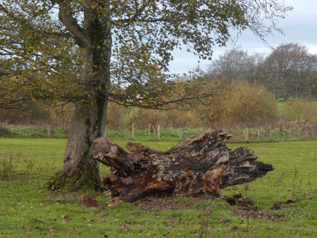
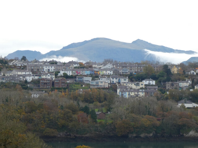
Aber Pwll is a small village located in the historic county of Caernarfonshire, Wales. Situated on the northern coast of the country, it lies about 2 miles south of the town of Caernarfon. Nestled between the dramatic Snowdonia National Park and the Irish Sea, Aber Pwll is surrounded by breathtaking natural beauty.
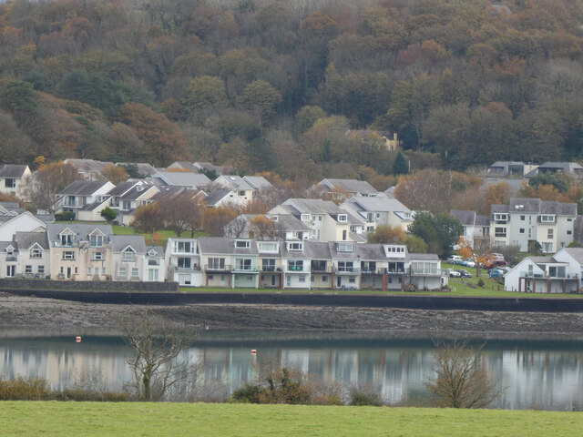
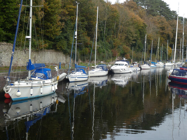
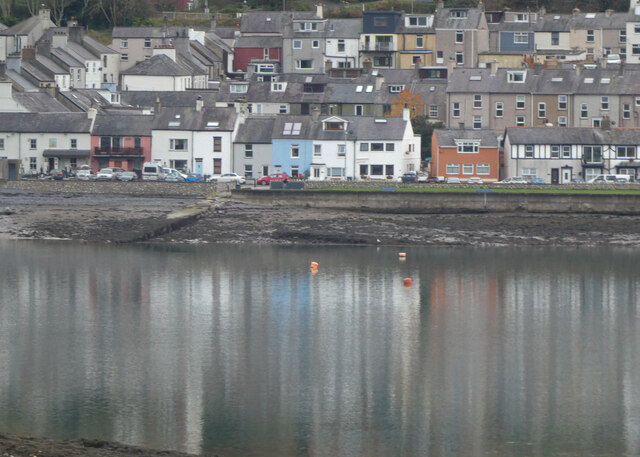
The village is known for its picturesque harbor, which has been an important focal point for local fishermen for centuries. The harbor provides a sheltered spot for boats, and it is a common sight to see colorful fishing vessels bobbing in the water. The village itself is characterized by charming stone houses and narrow streets, creating a traditional Welsh atmosphere.
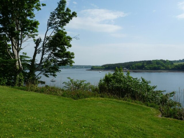
Aber Pwll offers visitors a range of outdoor activities, including scenic coastal walks and stunning views across the Menai Strait to Anglesey. The area is a haven for birdwatchers, with numerous species of seabirds and waders frequenting the shores. Additionally, the nearby Glynllifon Country Park offers beautiful gardens, woodland walks, and a children's play area, making it a popular destination for families.
For those interested in history, Aber Pwll is in close proximity to several notable landmarks. Caernarfon Castle, a UNESCO World Heritage site, is only a short distance away and offers a captivating glimpse into medieval times. The village also boasts a rich maritime heritage, with the Welsh Highland Railway passing through, allowing visitors to experience a nostalgic steam train journey.
Overall, Aber Pwll is a captivating destination that combines natural beauty, history, and recreational opportunities, making it a must-visit location for those exploring the Caernarfonshire region.
If you have any feedback on the listing, please let us know in the comments section below.
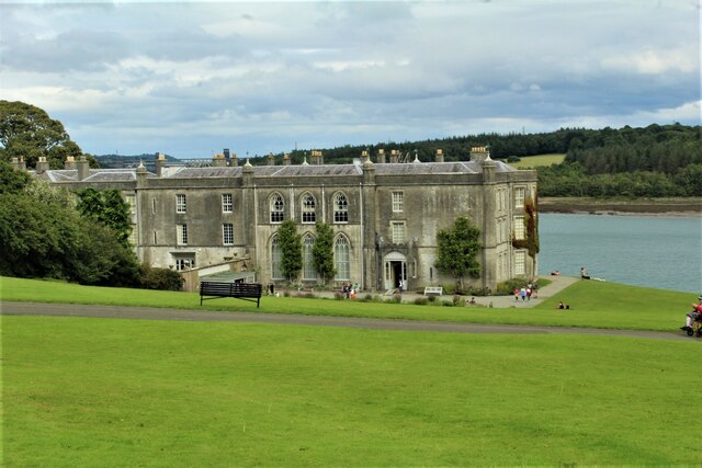
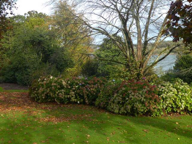
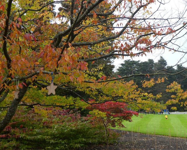
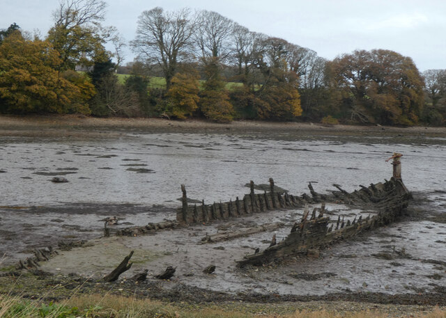
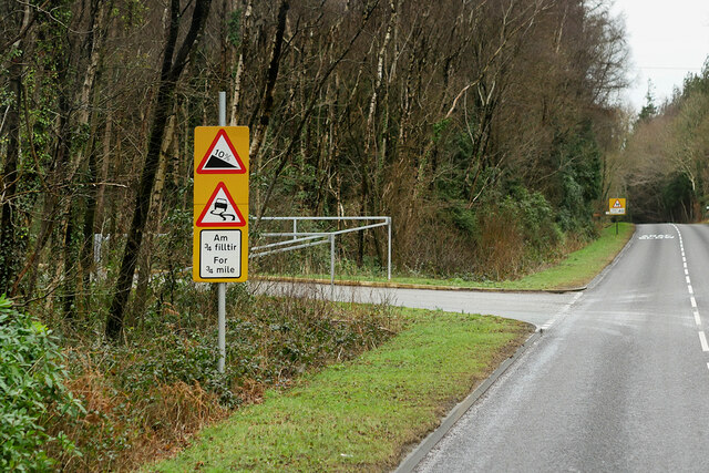
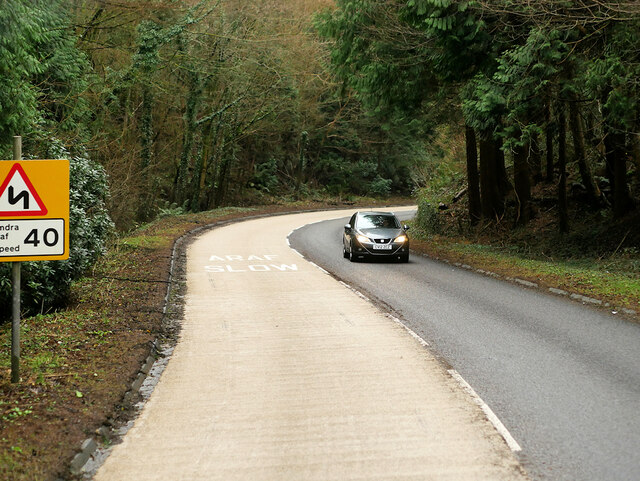
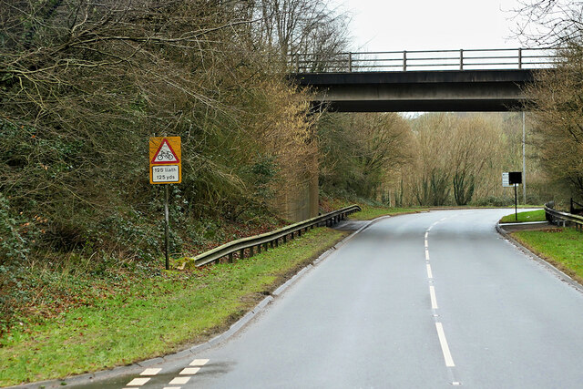
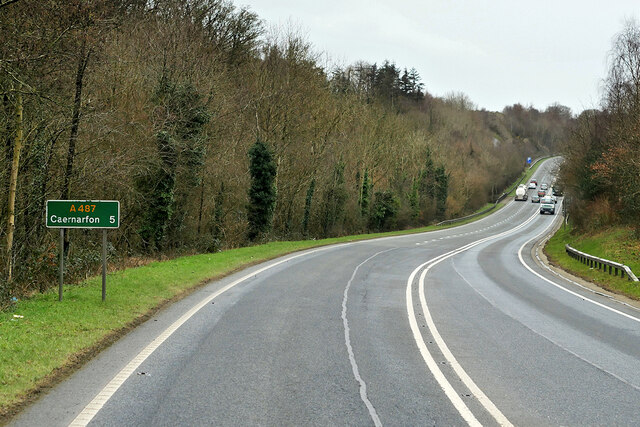
Aber Pwll Images
Images are sourced within 2km of 53.190716/-4.195139 or Grid Reference SH5368. Thanks to Geograph Open Source API. All images are credited.


Aber Pwll is located at Grid Ref: SH5368 (Lat: 53.190716, Lng: -4.195139)
Unitary Authority: Gwynedd
Police Authority: North Wales
Also known as: Aberpwll
What 3 Words
///tucked.golden.apply. Near Y Felinheli, Gwynedd
Nearby Locations
Related Wikis

Y Felinheli F.C.
Clwb Pêl Droed Y Felinheli (English: Y Felinheli Football Club) is a Welsh football team based in the village of Y Felinheli (formerly known in English...
Port Dinorwic railway station
Port Dinorwic railway station was the name of two railway stations located on the Bangor and Carnarvon Railway near the village of Port Dinorwic (now Y...
GreenWood
GreenWood (Welsh: Gelli Gyffwrdd), formerly GreenWood Forest Park and The GreenWood Centre, is a family fun park at Y Felinheli in Gwynedd, Wales. The...

Faenol Festival
The Faenol Festival (Welsh: Gŵyl y Faenol) is a music festival organised by Welsh singer Bryn Terfel, originally held annually on the Faenol Estate (Welsh...

Vaynol
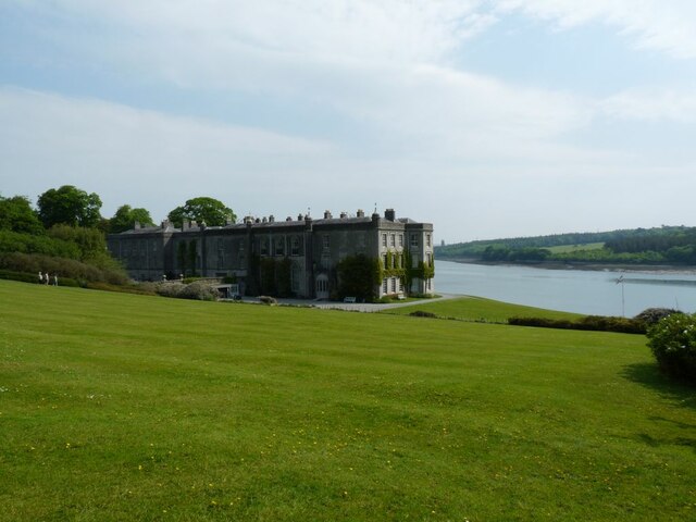
Vaynol or Y Faenol (Welsh [ə ˈveɨnɔl]) is a country estate dating from the Tudor period near Y Felinheli in Gwynedd, North Wales (grid reference SH536695...

Y Felinheli
Y Felinheli (), formerly known in English as Port Dinorwic, is a village and community beside the Menai Strait (Welsh: Y Fenai or Afon Menai) between Bangor...
Moel-y-don
Moel-y-don is a community in Llanddaniel Fab, Anglesey, Wales, which is 126 miles (202.7 km) from Cardiff and 208.1 miles (334.9 km) from London. ��2...

St Edwen's Church, Llanedwen
St Edwen's Church, Llanedwen, is a 19th-century parish church near the Menai Strait, in Anglesey, north Wales. The first church was founded here by St...
Nearby Amenities
Located within 500m of 53.190716,-4.195139Have you been to Aber Pwll?
Leave your review of Aber Pwll below (or comments, questions and feedback).