Aber-Rhaeadr
Settlement in Montgomeryshire
Wales
Aber-Rhaeadr
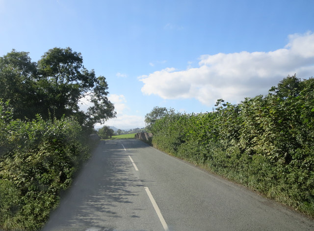
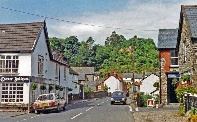
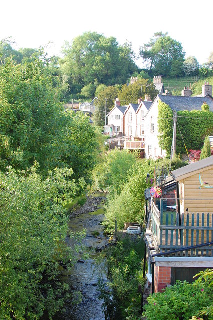
Aber-Rhaeadr, located in the county of Montgomeryshire, Wales, is a small village nestled in the picturesque countryside. With a population of approximately 300 residents, it is a close-knit community that exudes charm and tranquility.
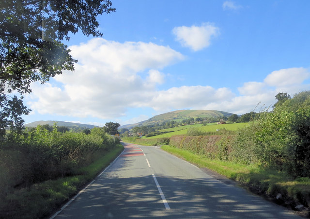
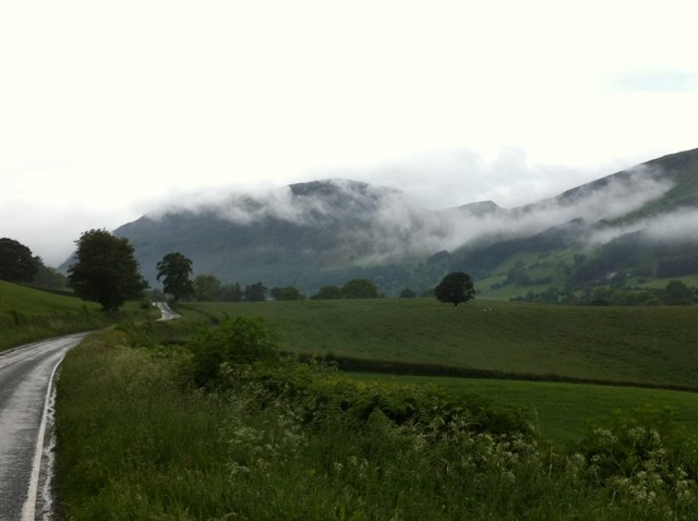
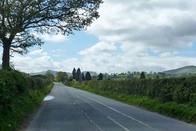
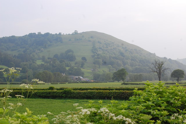
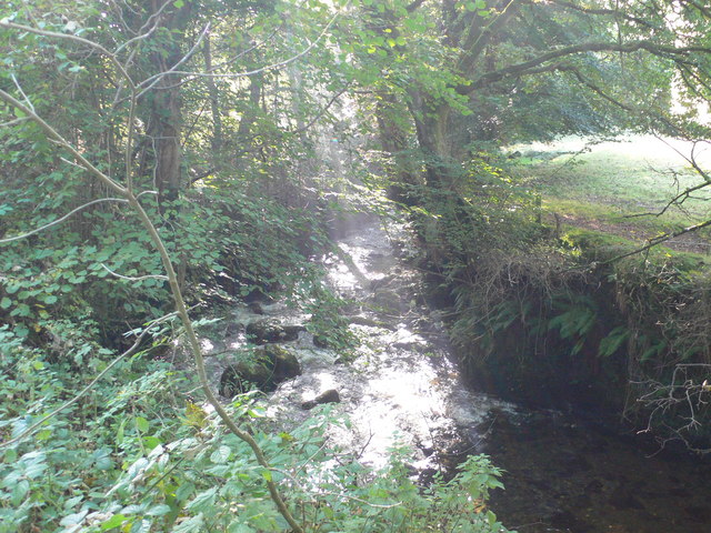
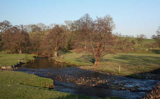
The village is situated at the confluence of the River Rhaeadr and the River Vyrnwy, surrounded by rolling hills and lush green landscapes. The name "Aber-Rhaeadr" translates to "mouth of the waterfall," referencing the nearby Pistyll Rhaeadr, one of the tallest waterfalls in the UK.
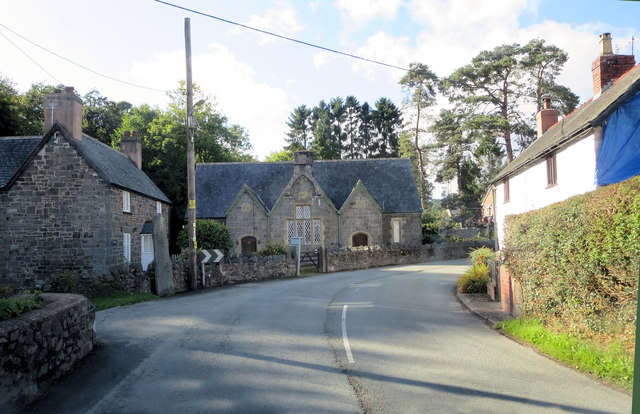
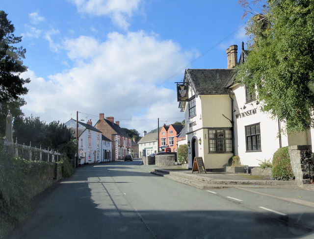
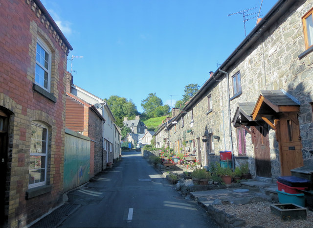
Historically, Aber-Rhaeadr played a significant role in the region as a center for agriculture and farming. The village retains its rural character with traditional stone cottages and farmhouses dotting the landscape. The local economy revolves around agriculture, with sheep farming being a prominent activity.
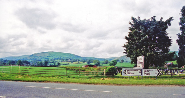
Aber-Rhaeadr offers a peaceful retreat for nature enthusiasts and outdoor lovers. The area is renowned for its scenic walking trails, providing breathtaking views of the surrounding countryside. Visitors can explore the nearby Berwyn Mountains or take a leisurely stroll along the riverside, immersing themselves in the beauty of the natural surroundings.
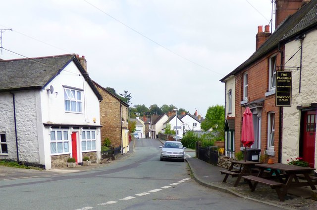
Although Aber-Rhaeadr is not known for its bustling amenities, it does have a small village shop and a pub that serves as a social hub for locals and visitors alike. For a wider range of amenities, the nearby towns of Welshpool and Oswestry are within easy reach.
In summary, Aber-Rhaeadr is a tranquil village in Montgomeryshire, Wales, offering splendid natural beauty, a close-knit community, and a peaceful countryside lifestyle.
If you have any feedback on the listing, please let us know in the comments section below.
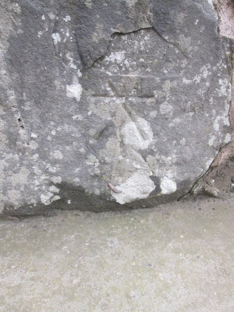
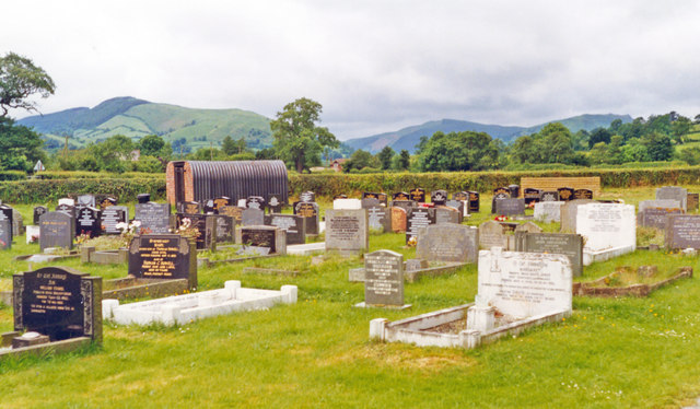
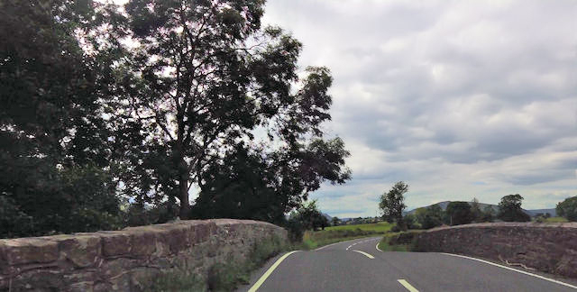
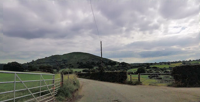
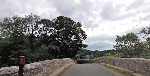
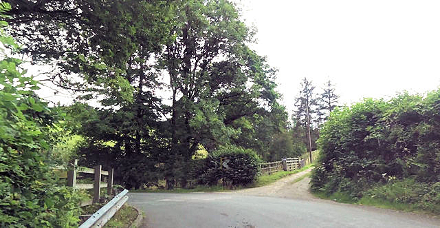
Aber-Rhaeadr Images
Images are sourced within 2km of 52.81349/-3.293027 or Grid Reference SJ1224. Thanks to Geograph Open Source API. All images are credited.
Aber-Rhaeadr is located at Grid Ref: SJ1224 (Lat: 52.81349, Lng: -3.293027)
Unitary Authority: Powys
Police Authority: Dyfed Powys
What 3 Words
///mirroring.trainer.keyboards. Near Llanrhaeadr-ym-Mochnant, Powys
Nearby Locations
Related Wikis
River Rhaeadr
The River Rhaeadr (Welsh: Afon Rhaeadr) is a river in Wales. It starts at the Pistyll Rhaeadr waterfall a few miles from the village of Llanrhaeadr-ym...
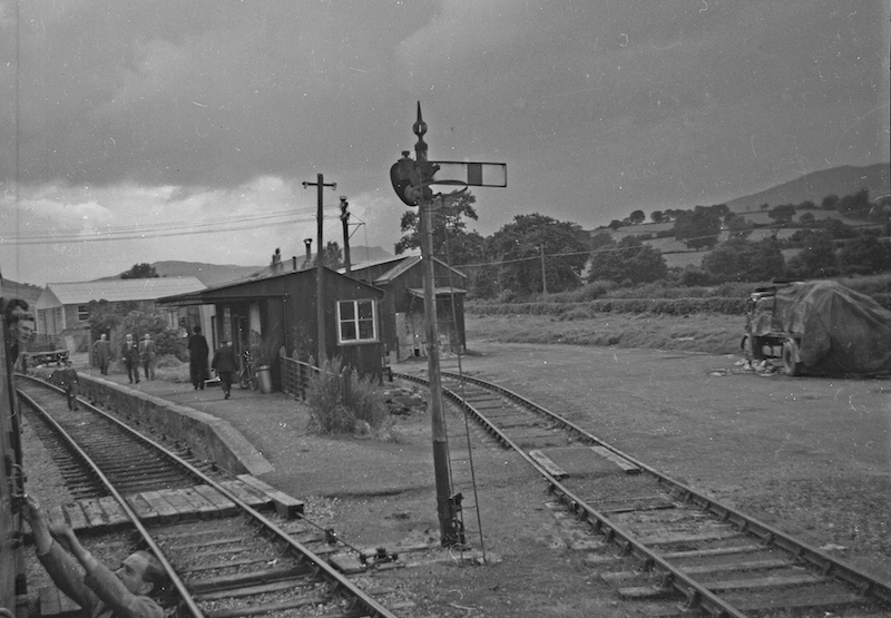
Llanrhaiadr Mochnant railway station
Llanrhaiadr Mochnant railway station was a station near Llanrhaeadr-ym-Mochnant, Powys, Wales, on the Tanat Valley Light Railway. The station opened in...

Llanrhaeadr F.C.
Llanrhaeadr Football Club is a Welsh football club based in Llanrhaeadr-ym-Mochnant, Powys. They currently play in the Ardal NE. The home colours are blue...

Pedairffordd Halt railway station
Pedairffordd Halt railway station (alternatively Pedair-Ffordd Halt) was a station on the Tanat Valley Light Railway, located 1.3 miles south of Llanrhaeadr...
Afon Iwrch
The Afon Iwrch is a river near Llanrhaeadr-ym-Mochnant in Clwyd, Wales. It is a tributary of the River Tanat and is 8.9 miles (14.4 km) in length. Its...

Llanrhaeadr-ym-Mochnant
Llanrhaeadr-ym-Mochnant () is a village, community and an ecclesiastical parish in the extreme north of Powys, Wales; about 9 miles west of Oswestry and...
Pentrefelin railway station
Pentrefelin railway station was a station on the Tanat Valley Light Railway, located two miles south-east of Llanrhaeadr-ym-Mochnant, Powys, Wales serving...

Llanarmon Mynydd Mawr
Llanarmon Mynydd Mawr, occasionally referred to as Llanarmon Fach, is an isolated rural parish in Powys, Wales. It was formerly in Denbighshire, and from...
Nearby Amenities
Located within 500m of 52.81349,-3.293027Have you been to Aber-Rhaeadr?
Leave your review of Aber-Rhaeadr below (or comments, questions and feedback).