No Man's Land
Downs, Moorland in Hampshire Winchester
England
No Man's Land
No Man's Land, Hampshire is a diverse and captivating area that encompasses downs and moorland, offering visitors a unique and picturesque landscape. Located in the southern region of England, No Man's Land is well-known for its natural beauty and rich biodiversity.
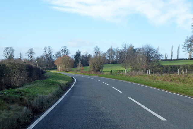
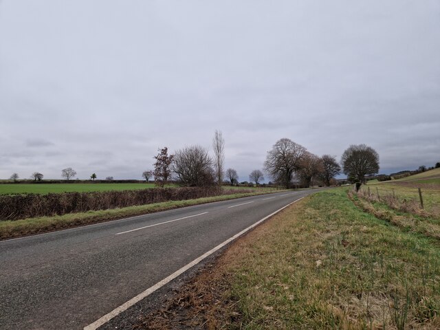
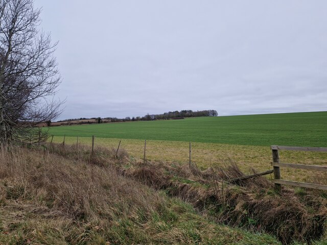
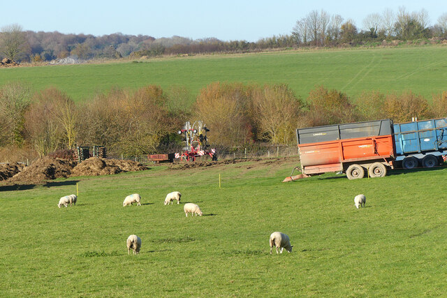
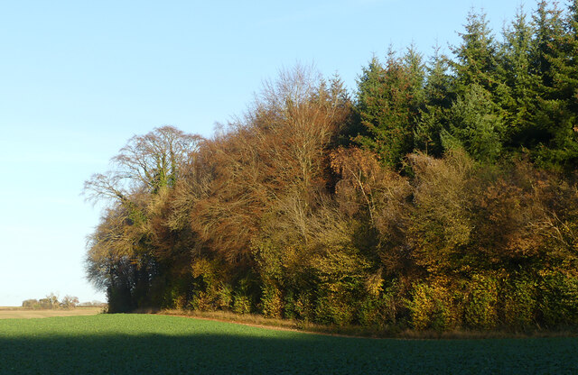
The downs of No Man's Land are characterized by their rolling hills and wide open spaces. Covered in lush grasses and scattered with vibrant wildflowers, they provide a stunning backdrop for leisurely walks and picnics. The downs also offer breathtaking panoramic views of the surrounding countryside, including the nearby coastline.
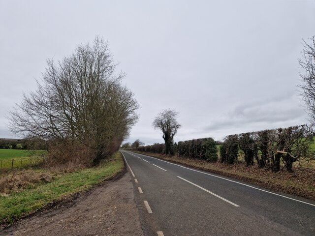
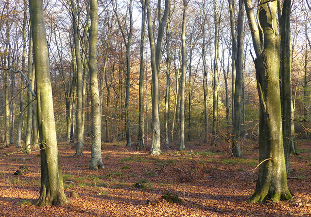
The moorland of No Man's Land adds a distinct charm to the area. It is characterized by its rugged terrain, heather-covered hills, and scattered patches of woodland. Moorland in this region provides a habitat for a variety of wildlife species, including birds, reptiles, and small mammals. It is also home to several rare plant species, making it a haven for nature enthusiasts and wildlife photographers.
No Man's Land offers a range of outdoor activities for visitors to enjoy. From hiking and cycling along the well-marked trails to birdwatching and nature photography, there is something for everyone to indulge in. The area is also popular for horse riding, with many equestrian trails winding through the downs and moorland.
In addition to its natural beauty, No Man's Land is rich in history and cultural heritage. The area boasts ancient archaeological sites, including burial mounds and hill forts, which provide glimpses into its past. Visitors can immerse themselves in the region's history by exploring these sites and discovering the stories they hold.
Overall, No Man's Land, Hampshire, with its downs, moorland, and captivating scenery, offers a delightful escape for nature lovers and history enthusiasts alike. Its diverse landscape, abundant wildlife, and historical significance make it a must-visit destination in the region.
If you have any feedback on the listing, please let us know in the comments section below.
No Man's Land Images
Images are sourced within 2km of 51.085139/-1.4107391 or Grid Reference SU4131. Thanks to Geograph Open Source API. All images are credited.


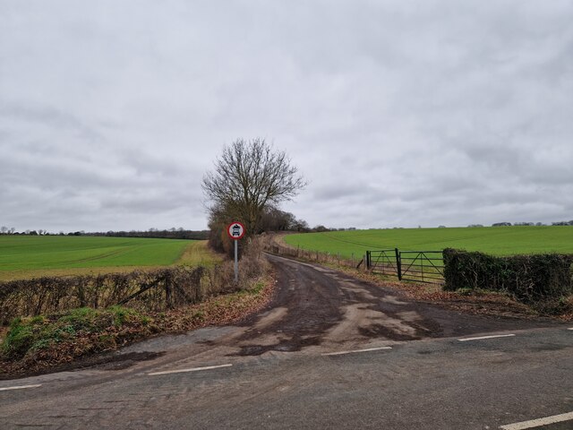


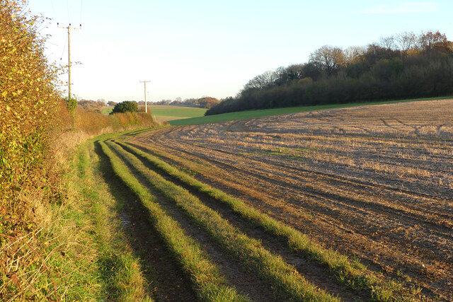
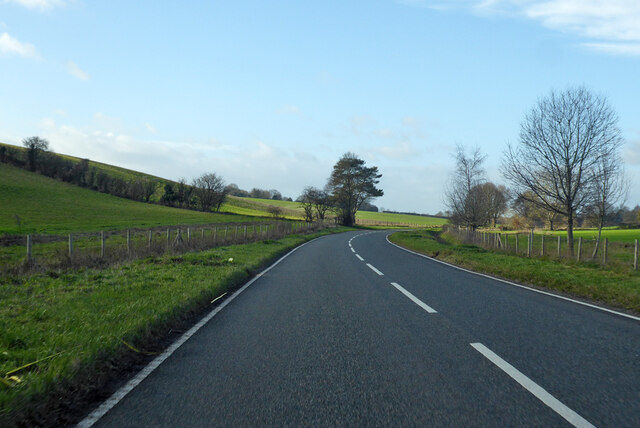
![Anonymous lane, heading north-east alongside Rack Belt The parish boundary between Crawley [left/north] and Sparsholt [right/south].](https://s1.geograph.org.uk/geophotos/04/98/32/4983265_57a43255.jpg)
No Man's Land is located at Grid Ref: SU4131 (Lat: 51.085139, Lng: -1.4107391)
Administrative County: Hampshire
District: Winchester
Police Authority: Hampshire
What 3 Words
///trainers.imprints.flips. Near Winchester, Hampshire
Nearby Locations
Related Wikis
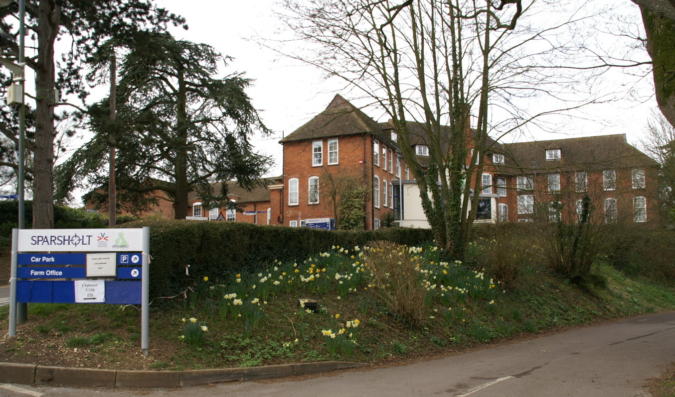
Sparsholt College
Sparsholt College is a Further Education (FE) and Higher Education (HE) college located at Sparsholt near Winchester, with a secondary campus in Andover...
Up Somborne
Up Somborne is a hamlet in the civil parish of King's Somborne in the Test Valley district of Hampshire, England. Its nearest town is Stockbridge, which...

Sparsholt Roman Villa
Sparsholt Roman Villa was a Roman villa near the village of Sparsholt, Hampshire, England. It was constructed in phases from the 2nd to the 5th century...
Rookley Manor, Hampshire
Rookley Manor is a Grade II* listed country house, located in Up Somborne in Hampshire, England. == Background == Located within the fertile Test Valley...

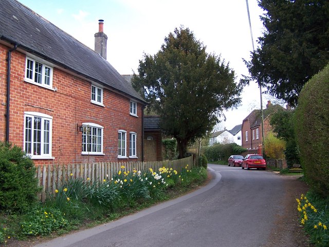
Sparsholt, Hampshire
Sparsholt (/ˈspɑːʃəʊlt/) is a village and civil parish in Hampshire, England, 2+1⁄2 miles (4 km) west of Winchester. In 1908 its area was 3,672 acres...

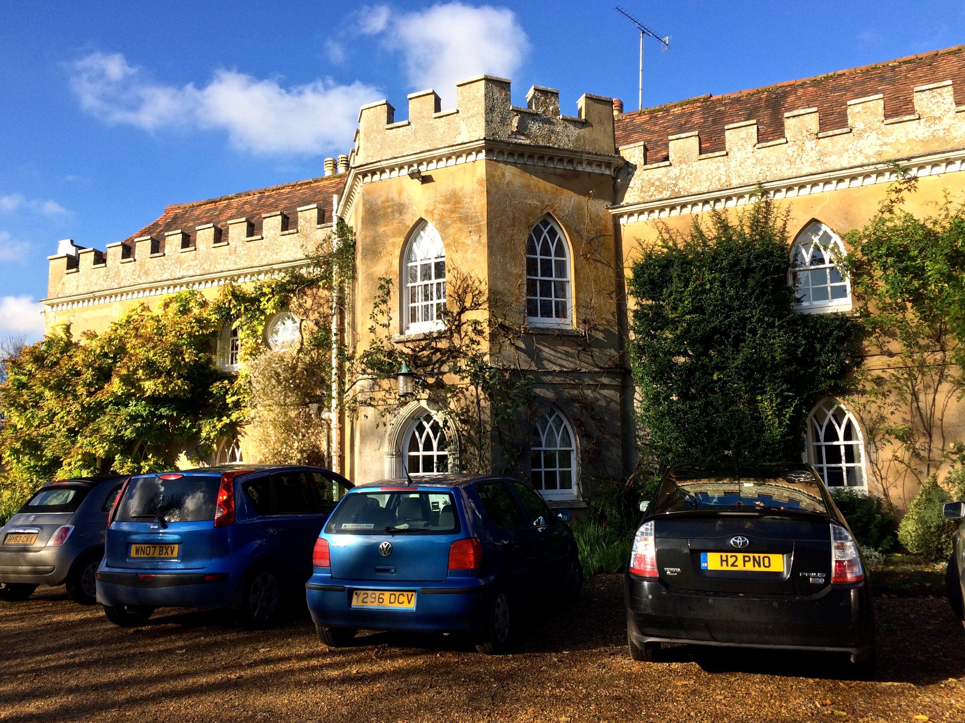
Lainston House
Lainston House is a 17th-century country house hotel near Sparsholt, Hampshire in the south of England. It is operated by the Exclusive Hotels chain. It...
Ashley, Test Valley
Ashley is a village and civil parish in the Test Valley district of Hampshire, England, 8 miles (13 km) west of Winchester. Its nearest town is Stockbridge...
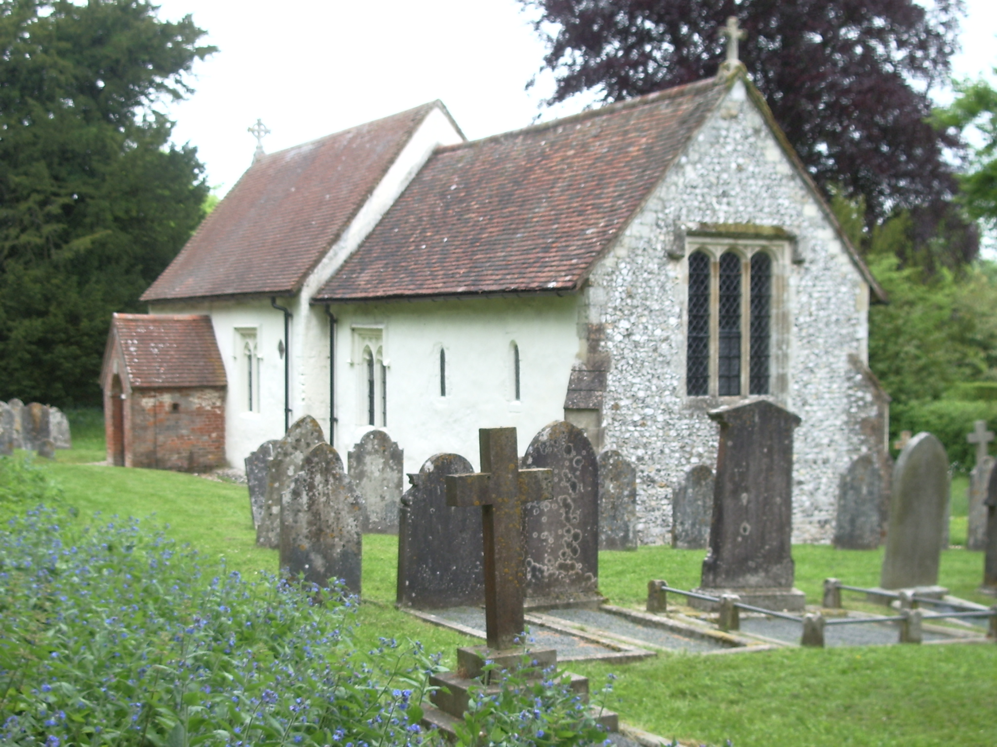
St. Mary's Church, Ashley
St. Mary's Church is a historic Anglican church in the hamlet of Ashley, Hampshire, England. It is recorded in the National Heritage List for England...
Nearby Amenities
Located within 500m of 51.085139,-1.4107391Have you been to No Man's Land?
Leave your review of No Man's Land below (or comments, questions and feedback).