Lattin Down

Downs, Moorland in Berkshire Vale of White Horse

England

Lattin Down

The Ridgeway by Yew Down
The Ridgeway by Yew Down Credit: Steve Daniels

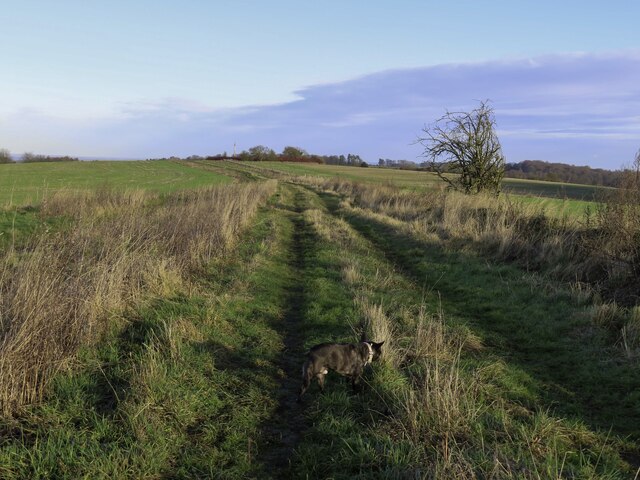
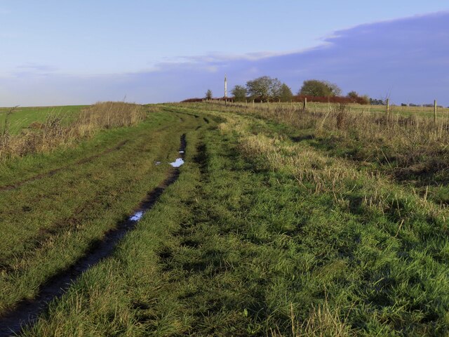
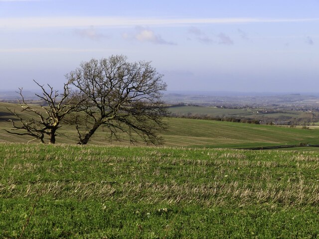
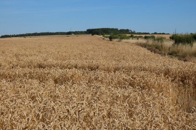
Lattin Down is a picturesque area situated in Berkshire, England. It is a part of the larger Berkshire Downs, which are a range of chalk hills that stretch across the counties of Berkshire, Oxfordshire, and Wiltshire. Lattin Down specifically is known for its beautiful landscapes and diverse wildlife.

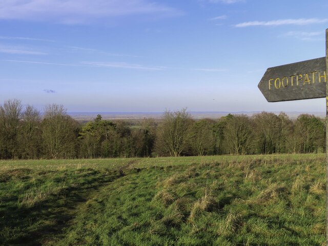
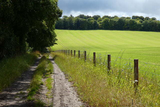
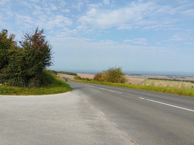
The area is predominantly characterized by rolling hills covered in lush green grass and scattered patches of heather and gorse. The downs offer stunning panoramic views, making it a popular destination for hikers, nature enthusiasts, and photographers. The wide-open spaces provide ample opportunities for outdoor activities such as walking, cycling, and horse riding.

Lattin Down is also home to a rich variety of wildlife. The grasslands attract a multitude of bird species, including skylarks, meadow pipits, and kestrels. Visitors may also spot rabbits, foxes, and deer roaming freely in the area. The diverse flora and fauna contribute to the overall tranquility and beauty of the downs.

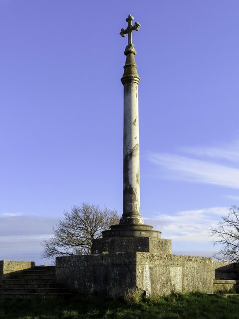
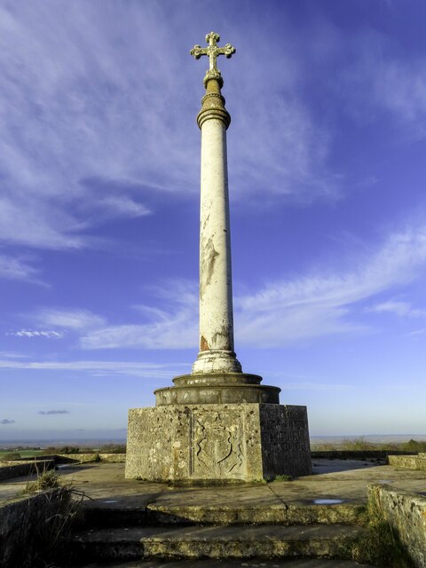
In addition to its natural beauty, Lattin Down boasts historical significance. It is believed that the area has been inhabited since ancient times, with evidence of Iron Age settlements and Roman remains found in the vicinity. The downs have also witnessed various historic events, including battles during the English Civil War.

Overall, Lattin Down offers a perfect escape from the hustle and bustle of everyday life. With its stunning landscapes, abundant wildlife, and rich history, it is a place that captivates visitors and provides a serene and idyllic experience of the Berkshire countryside.

If you have any feedback on the listing, please let us know in the comments section below.

Lattin Down Images

Images are sourced within 2km of 51.549484/-1.4048346 or Grid Reference SU4183. Thanks to Geograph Open Source API. All images are credited.

The Ridgeway by Yew Down
The Ridgeway above Wantage
Middlehill Down by the Ridgeway
The Lord Wantage memorial by the Ridgeway Lord Wantage was the first man to win a Victoria Cross in the Crimean War.
The Lord Wantage memorial by the Ridgeway
Lord Wantage was the first man to win a Victoria Cross in the Crimean War.
The Lord Wantage memorial Lord Wantage was the first man to win a Victoria Cross in the Crimean War.
The Lord Wantage memorial
Lord Wantage was the first man to win a Victoria Cross in the Crimean War.
Footpath to East Lockinge
The Lord Wantage memorial Lord Wantage was the first man to win a Victoria Cross in the Crimean War.
The Lord Wantage memorial
Lord Wantage was the first man to win a Victoria Cross in the Crimean War.
Farmland, Lockinge With straw being baled after the harvesting of winter barley.
Farmland, Lockinge
With straw being baled after the harvesting of winter barley.
Farmland, Lockinge After the harvesting of winter barley at Lockinge Kiln Farm, straw is being baled.
Farmland, Lockinge
After the harvesting of winter barley at Lockinge Kiln Farm, straw is being baled.
Farmland, Lockinge Looking down over wheat from the restricted byway to the west of Triangle Wood.
Farmland, Lockinge
Looking down over wheat from the restricted byway to the west of Triangle Wood.
Farmland, Lockinge
Farmland, Lockinge
Track and farmland, Lockinge Cut silage and the footpath climbing to the Ridgeway from Chalkhill Barn.
Track and farmland, Lockinge
Cut silage and the footpath climbing to the Ridgeway from Chalkhill Barn.
Chain Hill (B4494) Viewed from the entrance to the car park for access to The Ridgeway.
Chain Hill (B4494)
Viewed from the entrance to the car park for access to The Ridgeway.
Middlehill Down from Chain Hill Farmland on Middlehill Down, viewed from Chain Hill.
Middlehill Down from Chain Hill
Farmland on Middlehill Down, viewed from Chain Hill.
Old Milestone by the A338, Manor Road, south of Wantage Carved stone post by the A338, in parish of Wantage (Vale of White Horse District), Manor Road; Black Bushes and Angel Down; opposite lane to Letcombe Bowes Farm, on open on grass verge, in front of wooden fence post of field boundary, on East side of road. Besselsleigh tombstone, erected by the Besselsleigh turnpike trust in the 18th century. 

Inscription reads:-
WANTAGE
3
HUNGERFORD
10½ 
Carved benchmark on lower right face.

Grade II listed.
List Entry Number: 1048543 <span class="nowrap"><a title="https://historicengland.org.uk/listing/the-list/list-entry/1048543" rel="nofollow ugc noopener" href="https://historicengland.org.uk/listing/the-list/list-entry/1048543">Link</a><img style="margin-left:2px;" alt="External link" title="External link - shift click to open in new window" src="https://s1.geograph.org.uk/img/external.png" width="10" height="10"/></span>

Milestone Society National ID: BE_WAHG03
Old Milestone by the A338, Manor Road, south of Wantage
Carved stone post by the A338, in parish of Wantage (Vale of White Horse District), Manor Road; Black Bushes and Angel Down; opposite lane to Letcombe Bowes Farm, on open on grass verge, in front of wooden fence post of field boundary, on East side of road. Besselsleigh tombstone, erected by the Besselsleigh turnpike trust in the 18th century. Inscription reads:- WANTAGE 3 HUNGERFORD 10½ Carved benchmark on lower right face. Grade II listed. List Entry Number: 1048543 LinkExternal link Milestone Society National ID: BE_WAHG03
A338 south of Wantage As A roads go, this is a pleasant one. Much nicer than the racetrack A34 which is the main north - south route in the area. 
From Wantage to the M4 the A338 crosses beautiful downland scenery, without towns, roundabouts,  traffic lights or any of that stuff.
A338 south of Wantage
As A roads go, this is a pleasant one. Much nicer than the racetrack A34 which is the main north - south route in the area. From Wantage to the M4 the A338 crosses beautiful downland scenery, without towns, roundabouts, traffic lights or any of that stuff.
Farming Landscape at Letcombe Bowers
Looking east along the Ridgeway from Manor Road
Show me another place!

Lattin Down is located at Grid Ref: SU4183 (Lat: 51.549484, Lng: -1.4048346)

Administrative County: Oxfordshire

District: Vale of White Horse

Police Authority: Thames Valley

What 3 Words

///grills.clerics.afraid. Near Farnborough, Berkshire

Nearby Locations

Lattin Down Triangle Wood

Related Wikis

Farnborough, Berkshire

Farnborough is a village and civil parish in West Berkshire, about 4 miles (6.4 km) south of Wantage. The village is 720 feet (220 m) above sea level on...

Segsbury Camp

Segsbury Camp or Segsbury Castle is an Iron Age hillfort on the crest of the Berkshire Downs, near the Ridgeway above Wantage, in the Vale of White Horse...

Chain Hill

Chain Hill is one of the hills of the North Wessex Downs, located in the civil parish of Wantage in the English county of Oxfordshire. In 1974 it was transferred...

Fawley, Berkshire

Fawley is a village and civil parish in West Berkshire, England. The hub of the village is centred 3.5 miles (5.6 km) east of Lambourn and has a sub-community...

East Lockinge

East Lockinge is a village and former civil parish, now in the parish of Lockinge, in the Vale of White Horse district, in the county of Oxfordshire, England...

Wantage Town F.C.

Wantage Town Football Club is a football club based in Wantage, Oxfordshire that currently play in the Hellenic League Premier Division. The club is affiliated...
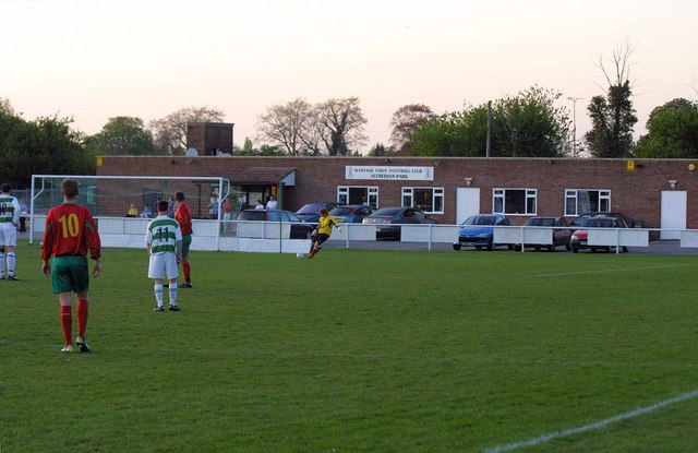
Alfredian Park

Alfredian Park is a football ground in Wantage, Oxfordshire, England, and the home of Wantage Town Football Club. With a capacity of about 1,500. ��2...

The Ridgeway

The Ridgeway is a ridgeway or ancient trackway described as Britain's oldest road. The section clearly identified as an ancient trackway extends from Wiltshire...

Nearby Amenities

Located within 500m of 51.549484,-1.4048346
Power: pole
Source: Bing
Lat/Long: 51.5491488/-1.3994237
Power: pole
Source: Bing
Lat/Long: 51.5494807/-1.4009444
The data included in this document is from www.openstreetmap.org. The data is made available under ODbL.

Have you been to Lattin Down?

Leave your review of Lattin Down below (or comments, questions and feedback).