Pike Whin Moor
Downs, Moorland in Durham
England
Pike Whin Moor
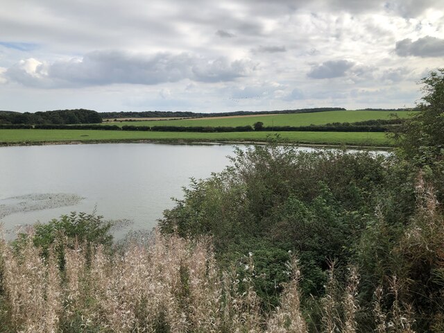
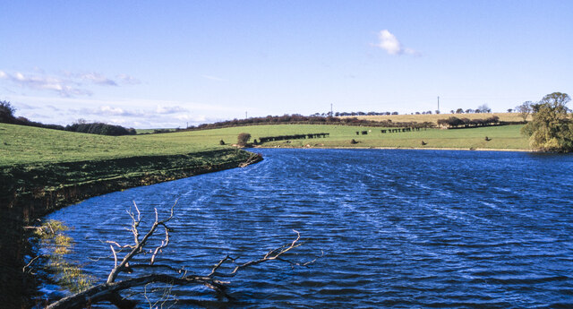
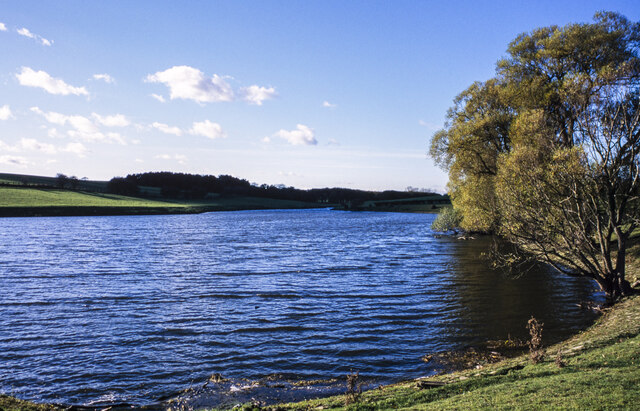
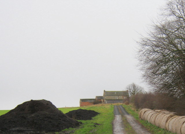
Pike Whin Moor, located in Durham, England, is a prominent moorland area known for its natural beauty and diverse ecological features. Covering an expansive area, this vast expanse of moorland is situated in the northern region of the county, offering breathtaking views and a tranquil atmosphere.
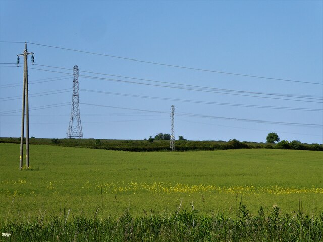
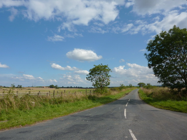
The moorland terrain of Pike Whin Moor is characterized by its undulating hills, heather-covered slopes, and wide open spaces. Its high elevation allows for panoramic vistas of the surrounding countryside, making it a popular destination for nature enthusiasts and hikers seeking stunning vistas.
The moorland is home to a range of plant species, including heather, bilberry, and cotton grass, which add vibrant colors to the landscape throughout the year. Additionally, the area supports a variety of bird species, such as curlews, lapwings, and merlins, making it a haven for birdwatchers.
Pike Whin Moor is also notable for its rich history, with evidence of human occupation dating back to the Bronze Age. Ancient burial mounds and stone circles can be found scattered across the moor, providing an intriguing glimpse into the region's past.
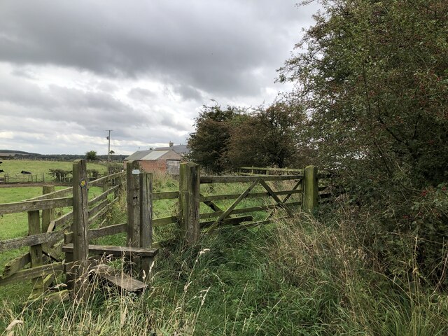
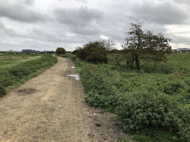
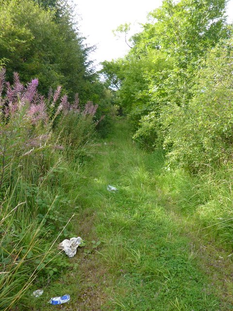
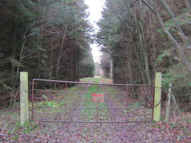
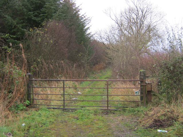
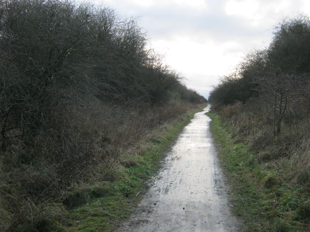
Visitors to Pike Whin Moor can explore the area by foot, following designated trails that wind through the moorland. These paths offer the opportunity to immerse oneself in the peaceful surroundings, observe the abundant wildlife, and appreciate the unique flora and fauna that thrive in this distinctive ecosystem.
Overall, Pike Whin Moor is a captivating destination for nature lovers and history enthusiasts alike, offering a remarkable combination of natural beauty, intriguing heritage, and a sense of tranquility in the heart of Durham.
If you have any feedback on the listing, please let us know in the comments section below.
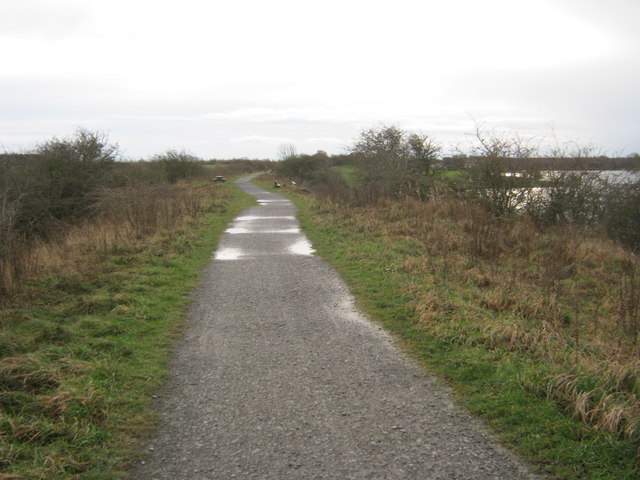
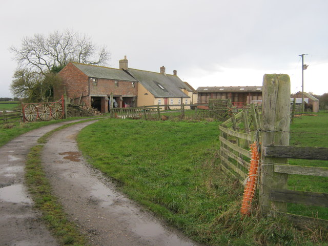
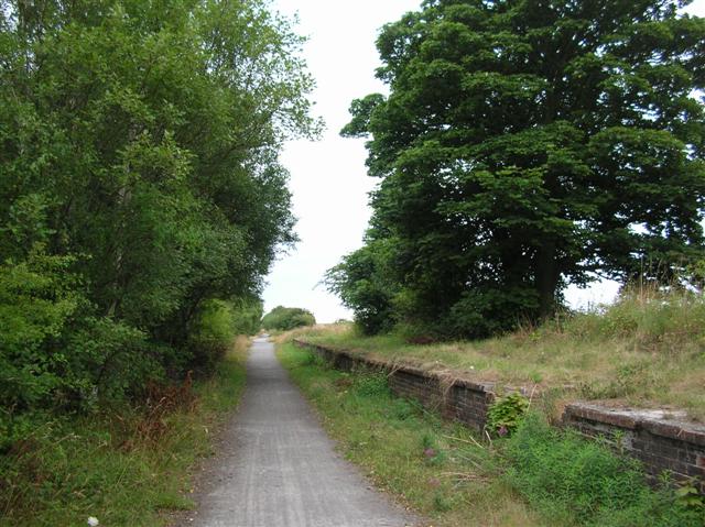
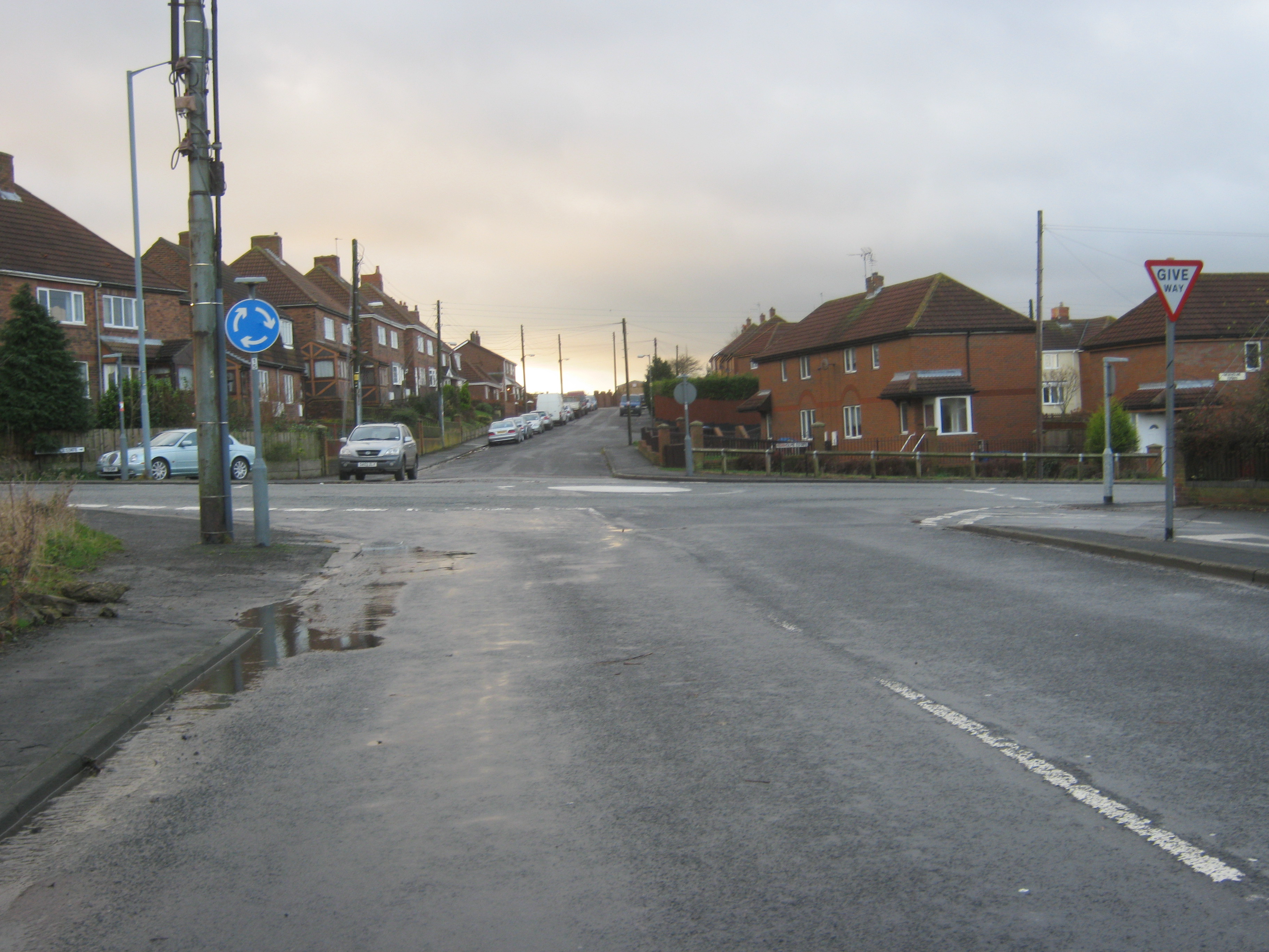
Pike Whin Moor Images
Images are sourced within 2km of 54.695857/-1.3592216 or Grid Reference NZ4133. Thanks to Geograph Open Source API. All images are credited.
Pike Whin Moor is located at Grid Ref: NZ4133 (Lat: 54.695857, Lng: -1.3592216)
Unitary Authority: County Durham
Police Authority: Durham
What 3 Words
///beakers.season.stray. Near Wingate, Co. Durham
Nearby Locations
Related Wikis

Pike Whin Bog
Pike Whin Bog is a Site of Special Scientific Interest in the Easington district of east County Durham, England. It is situated just east of Hurworth Burn...
Hurworth Burn railway station
Hurworth Burn railway station was a railway station on the Castle Eden branch of the North Eastern Railway (NER) from 1880 to 1931. It was located between...
Station Town
Station Town is a village in the civil parish of Hutton Henry and Station Town, in County Durham, England. It is situated to the south of Wingate, west...

Hutton Henry
Hutton Henry is a village in the civil parish of Hutton Henry and Station Town, in County Durham, England, near Peterlee, Castle Eden and Wingate. The...
Sheraton, County Durham
Sheraton is a village in County Durham in England. It is situated a few miles to the north-west of Hartlepool. The A19 road bisects the village. In medieval...

Embleton, County Durham
Embleton is a hamlet and former civil parish, now in the parish of Sedgefield, in the County Durham district, in the ceremonial county of Durham, in England...
Eden Vale
Eden Vale is a small village in County Durham, in England. It is a few miles to the south of Peterlee. == References ==
Charity Land
Charity Land is a Site of Special Scientific Interest in the Sedgefield district of County Durham, England. It covers an area on both banks of the River...
Nearby Amenities
Located within 500m of 54.695857,-1.3592216Have you been to Pike Whin Moor?
Leave your review of Pike Whin Moor below (or comments, questions and feedback).