Pay Down
Downs, Moorland in Hampshire
England
Pay Down

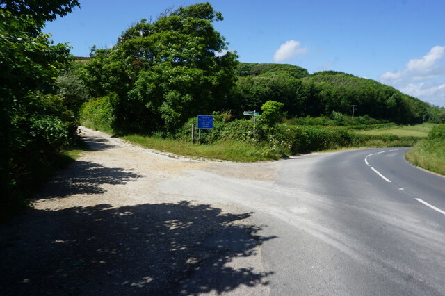
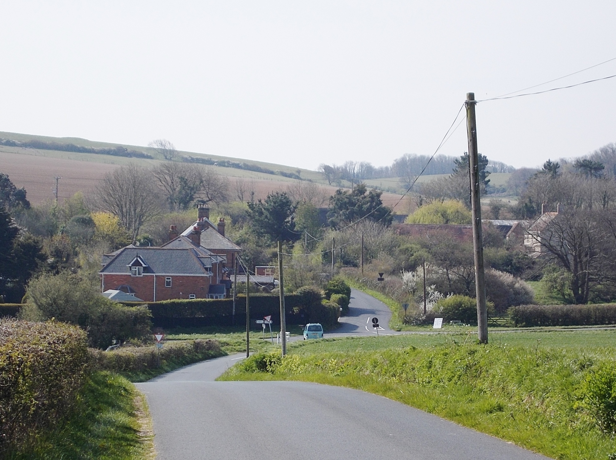
Pay Down is a small village located in the county of Hampshire, England. Situated in the southeastern part of the county, it is part of the larger region known as the Hampshire Downs. The village is surrounded by picturesque countryside, characterized by rolling hills, lush green meadows, and beautiful woodland areas.
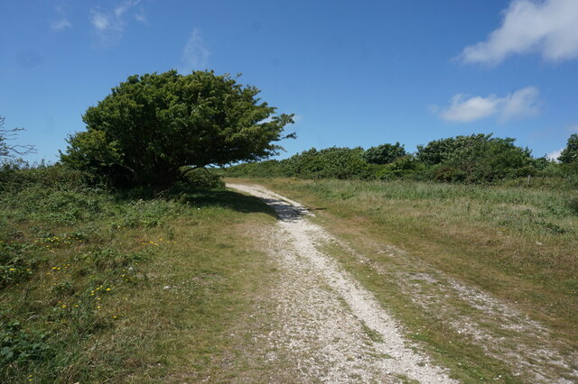
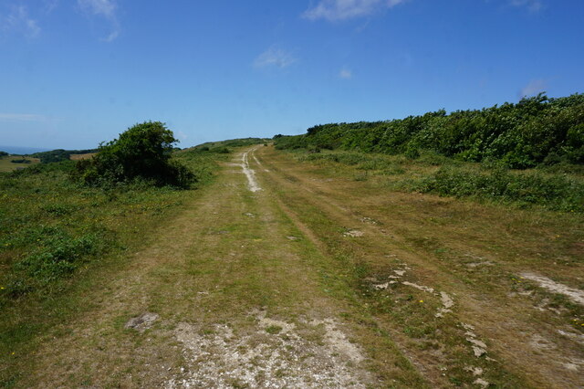
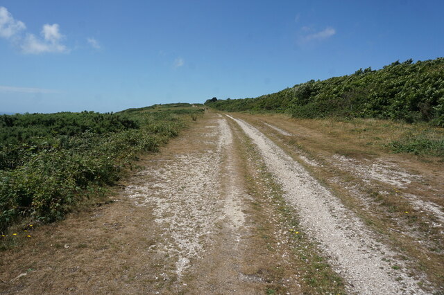
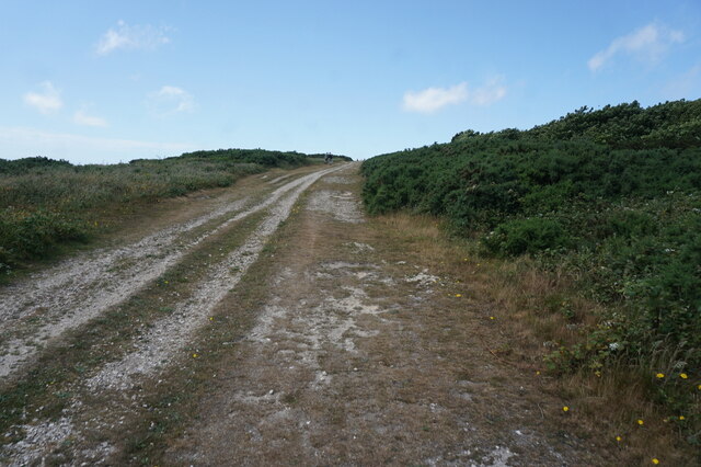
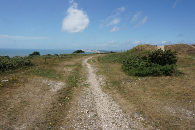
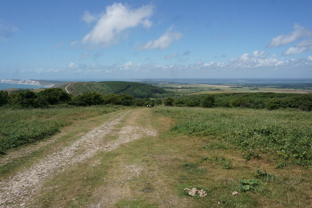
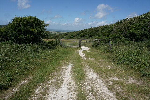
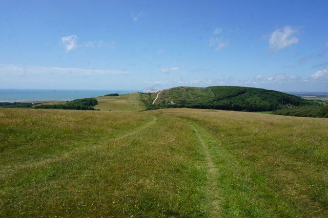
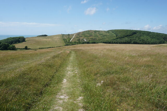
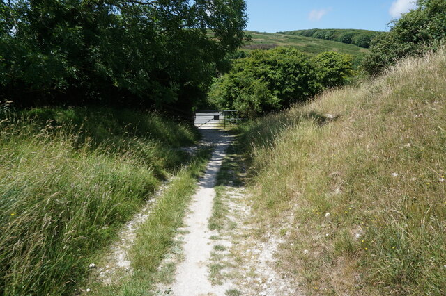
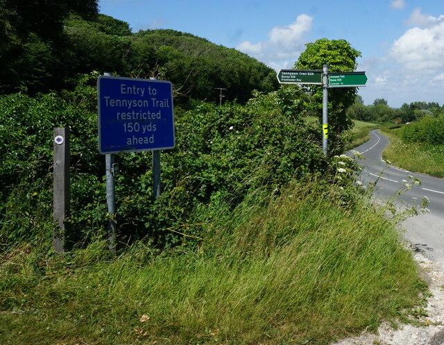
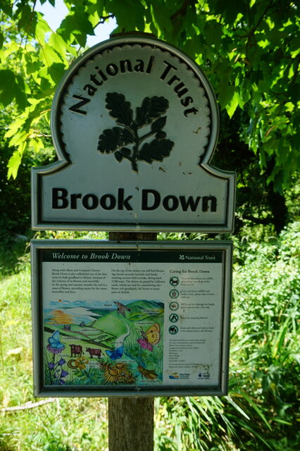
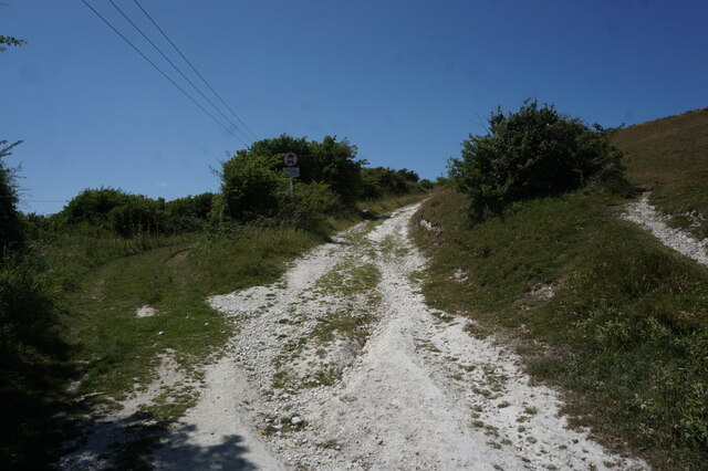
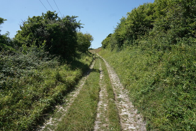
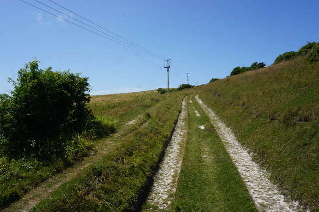
The Hampshire Downs, including Pay Down, are known for their stunning natural beauty and are a popular destination for outdoor enthusiasts. The area offers numerous walking and hiking trails, allowing visitors to explore the serene countryside and take in the breathtaking views. The Downs also provide excellent opportunities for birdwatching, with a diverse range of species inhabiting the area.
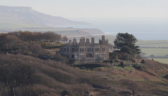
Pay Down itself is a charming and peaceful village, with a close-knit community and a rich history. It features a mix of traditional thatched cottages and more modern houses, giving it a unique and quintessentially English feel. The village is home to a local pub, offering a warm and welcoming atmosphere for residents and visitors alike.
The surrounding moorland adds to the village's character, offering a wilder and more rugged landscape compared to the gentle slopes of the Downs. This moorland is home to various species of plants and wildlife, making it a haven for nature lovers.
Overall, Pay Down, Hampshire (Downs, Moorland) is a picturesque and idyllic village, offering a tranquil escape from the hustle and bustle of city life. With its stunning natural surroundings and strong sense of community, it is truly a hidden gem in the Hampshire countryside.
If you have any feedback on the listing, please let us know in the comments section below.
Pay Down Images
Images are sourced within 2km of 50.663727/-1.4371371 or Grid Reference SZ3985. Thanks to Geograph Open Source API. All images are credited.
Pay Down is located at Grid Ref: SZ3985 (Lat: 50.663727, Lng: -1.4371371)
Unitary Authority: Isle of Wight
Police Authority: Hampshire
What 3 Words
///firewall.pleasing.await. Near Brighstone, Isle of Wight
Nearby Locations
Related Wikis

Shalcombe
Shalcombe is a hamlet on the Isle of Wight towards the west in an area known as West Wight. It is in the civil parish of Shalfleet. It is situated along...
1957 Aquila Airways Solent crash
The 1957 Aquila Airways Solent crash occurred on the Isle of Wight in England on 15 November. With 45 lives lost, at the time it was the second worst aircraft...

St Mary's Church, Brook
St Mary's Church, Brook is a parish church in the Church of England located in Brook, Isle of Wight. == History == The church dates from 1864 by the architect...
Westover Down
Westover Down is a chalk down on the Isle of Wight. It is located close to the village of Brook, in the southwest of the island, and rises to 205 metres...

Hulverstone
Hulverstone is a hamlet of about 12 houses on the Isle of Wight on the edge of the English Channel. It has a post office in a private home and the 400...
Chessell
Chessell is a hamlet on the Isle of Wight, England, towards the west in an area known as the Back of the Wight on the B3401 road. Public transport used...
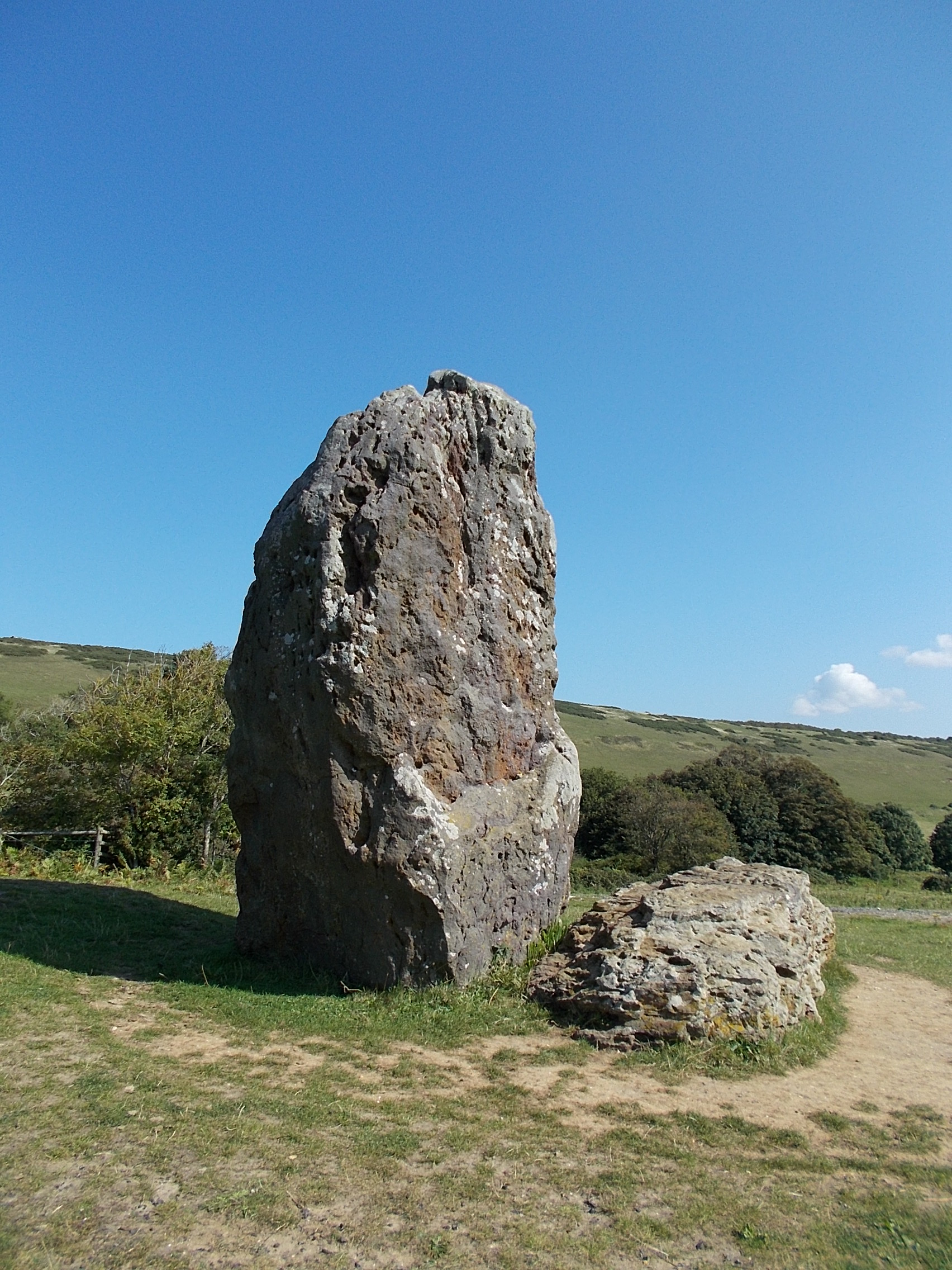
The Longstone, Mottistone
The Longstone is a megalithic monument near the village of Mottistone, close to the south west coast of the Isle of Wight. It is the only megalithic monument...

Mottistone Manor
Mottistone Manor is a National Trust property in the village of Mottistone on the Isle of Wight, England. It has popular gardens and is a listed building...
Nearby Amenities
Located within 500m of 50.663727,-1.4371371Have you been to Pay Down?
Leave your review of Pay Down below (or comments, questions and feedback).