South Hiendley Common

Downs, Moorland in Yorkshire

England

South Hiendley Common

Old milepost This post at the north end of Brierley was completely refurbished in February 2019.   Many hours were spent removing all the old paint with various protective coats applied.  But it is only 70cm from the edge of this busy road and grit and stones thrown up by passing traffic have taken their toll.   It is the only post along this route which has the foundry name, John Lees & Sons, Grove Foundry, Gomersal, Nr Leeds.   It is Grade II Listed 1314993.
Old milepost Credit: Chris Minto

South Hiendley Common is a picturesque area located in Yorkshire, England, known for its stunning combination of downs and moorland landscapes. Spanning over a vast area, it offers visitors a diverse and breathtaking experience.

The downs of South Hiendley Common are characterized by rolling hills covered in lush green grass, providing a tranquil and serene atmosphere. These hills offer stunning panoramic views of the surrounding countryside, making it a popular spot for hikers, nature enthusiasts, and photographers. The gentle slopes of the downs create a perfect setting for leisurely walks, allowing visitors to immerse themselves in the natural beauty of the region.

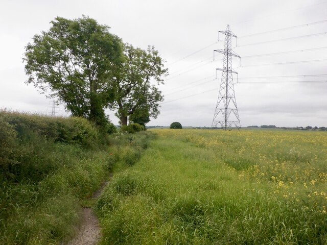
In contrast, the moorland of South Hiendley Common showcases a wild and rugged landscape. The moors are characterized by open expanses of heather and grass, interspersed with rocky outcrops and small streams. This unique habitat supports a variety of plant and animal species, including iconic wildlife such as grouse, curlews, and hares. The moorland is a haven for birdwatchers and nature lovers, providing an opportunity to observe these remarkable creatures in their natural habitat.

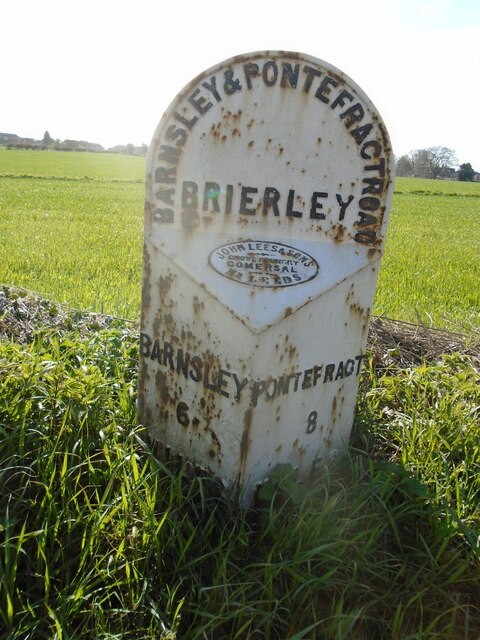
South Hiendley Common also boasts a rich cultural heritage, with historical landmarks and remnants of its industrial past. The area was once home to coal mines, and remnants of this industry can still be seen today, adding a historical element to the landscape.

Overall, South Hiendley Common offers a mesmerizing blend of downs and moorland, providing visitors with a unique and memorable experience amidst the natural beauty and rich history of Yorkshire.

If you have any feedback on the listing, please let us know in the comments section below.

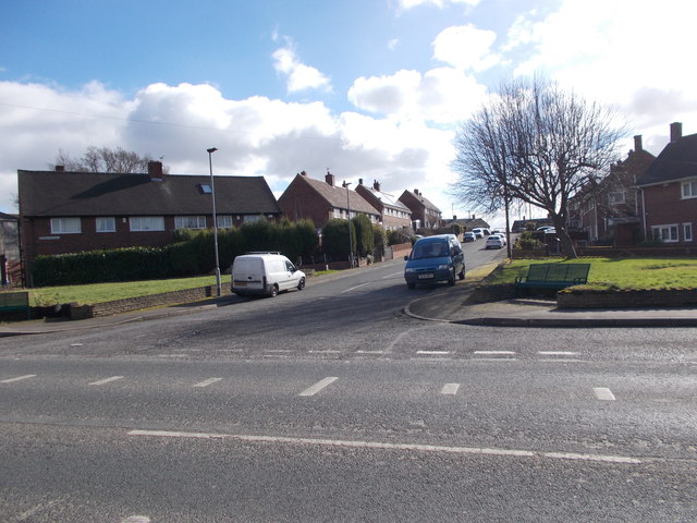
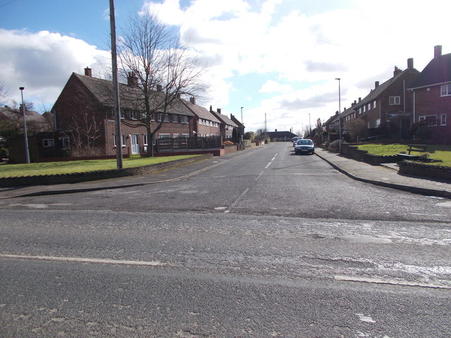
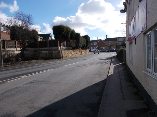
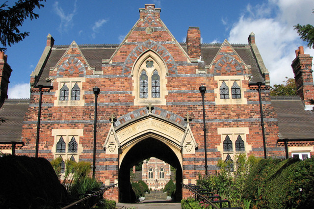
South Hiendley Common Images

Images are sourced within 2km of 53.605764/-1.398184 or Grid Reference SE3912. Thanks to Geograph Open Source API. All images are credited.

Old milepost This post at the north end of Brierley was completely refurbished in February 2019.   Many hours were spent removing all the old paint with various protective coats applied.  But it is only 70cm from the edge of this busy road and grit and stones thrown up by passing traffic have taken their toll.   It is the only post along this route which has the foundry name, John Lees & Sons, Grove Foundry, Gomersal, Nr Leeds.   It is Grade II Listed 1314993.
Old milepost
This post at the north end of Brierley was completely refurbished in February 2019. Many hours were spent removing all the old paint with various protective coats applied. But it is only 70cm from the edge of this busy road and grit and stones thrown up by passing traffic have taken their toll. It is the only post along this route which has the foundry name, John Lees & Sons, Grove Foundry, Gomersal, Nr Leeds. It is Grade II Listed 1314993.
Oilseed rape and path, Hemsworth
Brierley Hall Grade II listed Hall which is currently now part of a new housing development. A 1960s brick extension which was tacked onto the near wall has been removed.
Brierley Hall
Grade II listed Hall which is currently now part of a new housing development. A 1960s brick extension which was tacked onto the near wall has been removed.
Closed The Three Horse Shoes was once a thriving pub serving good food.
Closed
The Three Horse Shoes was once a thriving pub serving good food.
Hill Top - Cross Hill
Hill Top - Frickley Bridge Lane
Frickley Bridge Lane - viewed from Hill Top
Cross Hill - viewed from Frickley Bridge Lane
Barnsley Road - viewed from Frickley Bridge Lane
Frickley Bridge Lane - Barnsley Road
Haldane Close - Barnsley Road
Electricity Substation No 22670 - off Barnsley Road
Footpath - Barnsley Road
Mackey Crescent - Barnsley Road
Regina Crescent - Barnsley Road
Clifton Gardens - Barnsley Road
Cliff Lane - Barnsley Road
Show me another place!

South Hiendley Common is located at Grid Ref: SE3912 (Lat: 53.605764, Lng: -1.398184)

Division: West Riding

Unitary Authority: Wakefield

Police Authority: West Yorkshire

What 3 Words

///lifts.chatters.skims. Near Shafton, South Yorkshire

Related Wikis

South Hiendley

South Hiendley is a village and civil parish in the City of Wakefield in West Yorkshire, England. It has a population of 1,667, increasing to 1,817 at...
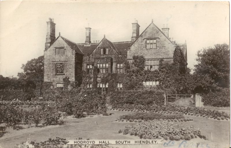
Hodroyd Hall

Hodroyd Hall at South Hiendley in the parish of Felkirk near Barnsley in West Yorkshire, England is an Elizabethan manor house currently used as 3 dwellings...
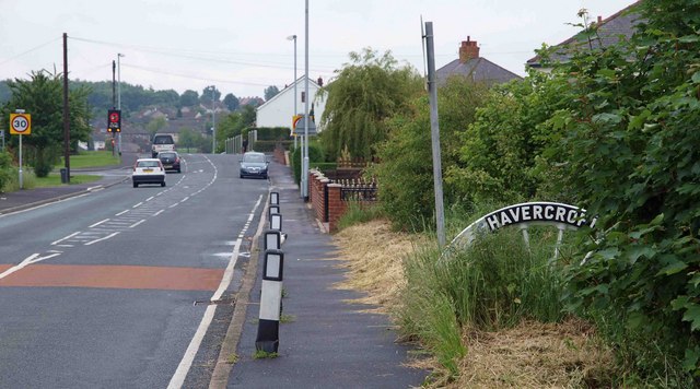
Havercroft

Havercroft is a small village situated on the B6428 in West Yorkshire, England, approximately 7 miles (11 km) south-east of the city of Wakefield. It forms...

Ryhill

Ryhill is a small village and civil parish situated on the B6428 road in West Yorkshire, England approximately 7 miles (11 km) south-east of the city of...

Nearby Amenities

Located within 500m of 53.605764,-1.398184
South Hiendley
Is In: West Yorkshire, England, UK
Place: village
Population: 1817
Source Population: wikipedia
Wikidata: Q1997595
Wikipedia: en:South Hiendley
Lat/Long: 53.6085563/-1.4016139
Bus Stop
Elizabeth Avenue Nelson Street
Local Ref: 45017828
Naptan AtcoCode: 450017828
Naptan Bearing: N
Naptan CommonName: Elizabeth Avenue Nelson Street
Naptan Crossing: Nelson Street
Naptan Indicator: Stop 45017828
Naptan PlusbusZoneRef: LEEDS
Naptan ShortCommonName: Nelson Street
Naptan Street: Elizabeth Avenue
Naptan Verified: yes
Ref: 45017828
Source: naptan_import
Lat/Long: 53.606896/-1.3925422
Bus Stop
High Street Northgate
Local Ref: 45017827
Naptan AtcoCode: 450017827
Naptan Bearing: W
Naptan CommonName: High Street Northgate
Naptan Crossing: Northgate
Naptan Indicator: Stop 45017827
Naptan PlusbusZoneRef: LEEDS
Naptan ShortCommonName: Northgate
Naptan Street: High Street
Naptan Verified: no
Source: naptan_import
Lat/Long: 53.6072096/-1.3913831
Bus Stop
Regent Street Charles Street
Local Ref: 45017829
Naptan AtcoCode: 450017829
Naptan Bearing: NE
Naptan CommonName: Regent Street Charles Street
Naptan Crossing: Charles Street
Naptan Indicator: Stop 45017829
Naptan PlusbusZoneRef: LEEDS
Naptan ShortCommonName: Charles Street
Naptan Street: Regent Street
Naptan Verified: no
Source: naptan_import
Lat/Long: 53.6058119/-1.3922798
Bus Stop
Regent Street East Street
Local Ref: 45017831
Naptan AtcoCode: 450017831
Naptan Bearing: NE
Naptan CommonName: Regent Street East Street
Naptan Crossing: East Street
Naptan Indicator: Stop 45017831
Naptan PlusbusZoneRef: LEEDS
Naptan ShortCommonName: East Street
Naptan Street: Regent Street
Naptan Verified: no
Source: naptan_import
Lat/Long: 53.6048069/-1.3943949
Bus Stop
Main Street High Street
Local Ref: 45017833
Naptan AtcoCode: 450017833
Naptan Bearing: SE
Naptan CommonName: Main Street High Street
Naptan Crossing: High Street
Naptan Indicator: Stop 45017833
Naptan Landmark: Surgery
Naptan PlusbusZoneRef: LEEDS
Naptan ShortCommonName: High Street
Naptan Street: Main Street
Naptan Verified: no
Source: naptan_import
Lat/Long: 53.6067699/-1.398644
Bus Stop
Main Street High Street
Local Ref: 45017834
Naptan AtcoCode: 450017834
Naptan Bearing: NW
Naptan CommonName: Main Street High Street
Naptan Crossing: High Street
Naptan Indicator: Stop 45017834
Naptan Landmark: Doctors Surgery
Naptan PlusbusZoneRef: LEEDS
Naptan ShortCommonName: High Street
Naptan Street: Main Street
Naptan Verified: no
Source: naptan_import
Lat/Long: 53.6067719/-1.3990521
Bus Stop
Elizabeth Avenue Nelson Street
Local Ref: 45026909
Naptan AtcoCode: 450026909
Naptan Bearing: N
Naptan CommonName: Elizabeth Avenue Nelson Street
Naptan Crossing: Nelson Street
Naptan Indicator: Stop 45026909
Naptan PlusbusZoneRef: LEEDS
Naptan ShortCommonName: Nelson Street
Naptan Street: Elizabeth Avenue
Naptan Verified: no
Source: naptan_import
Lat/Long: 53.6069274/-1.3924451
Bus Stop
Regent Street Charles Street
Local Ref: 45026930
Naptan AtcoCode: 450026930
Naptan Bearing: NE
Naptan CommonName: Regent Street Charles Street
Naptan Crossing: Charles Street
Naptan Indicator: Stop 45026930
Naptan PlusbusZoneRef: LEEDS
Naptan ShortCommonName: Charles Street
Naptan Street: Regent Street
Naptan Verified: no
Source: naptan_import
Lat/Long: 53.6057574/-1.3921596
Bus Stop
Regent Street East Street
Local Ref: 45026931
Naptan AtcoCode: 450026931
Naptan Bearing: NE
Naptan CommonName: Regent Street East Street
Naptan Crossing: East Street
Naptan Indicator: Stop 45026931
Naptan PlusbusZoneRef: LEEDS
Naptan ShortCommonName: East Street
Naptan Street: Regent Street
Naptan Verified: no
Source: naptan_import
Lat/Long: 53.6047614/-1.3942898
Design: barrel
Power: tower
Lat/Long: 53.6028636/-1.3948957
Design: barrel
Power: tower
Lat/Long: 53.6020604/-1.4005318
Pub
Sun Inn
Addr City: Barnsley
Addr Postcode: S72 9BP
Addr Street: Main Street
Addr Suburb: South Hiendley
Fhrs Id: 313902
Lat/Long: 53.6089035/-1.4016232
Noexit: yes
Lat/Long: 53.6082814/-1.401891
The data included in this document is from www.openstreetmap.org. The data is made available under ODbL.

Have you been to South Hiendley Common?

Leave your review of South Hiendley Common below (or comments, questions and feedback).