Ain Moor
Downs, Moorland in Derbyshire North East Derbyshire
England
Ain Moor
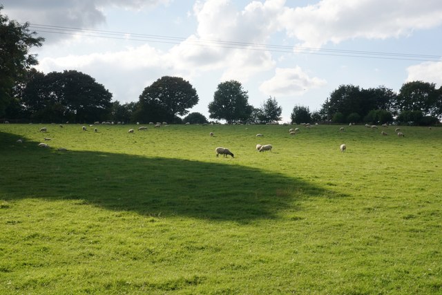
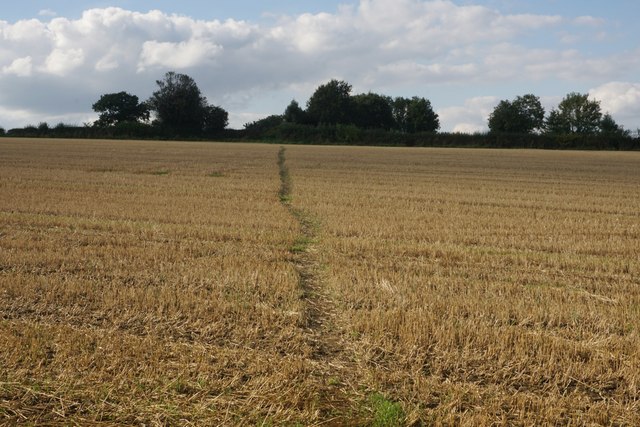
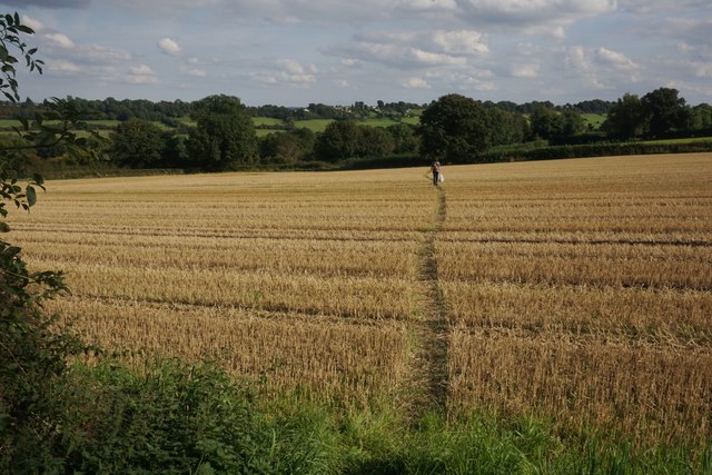
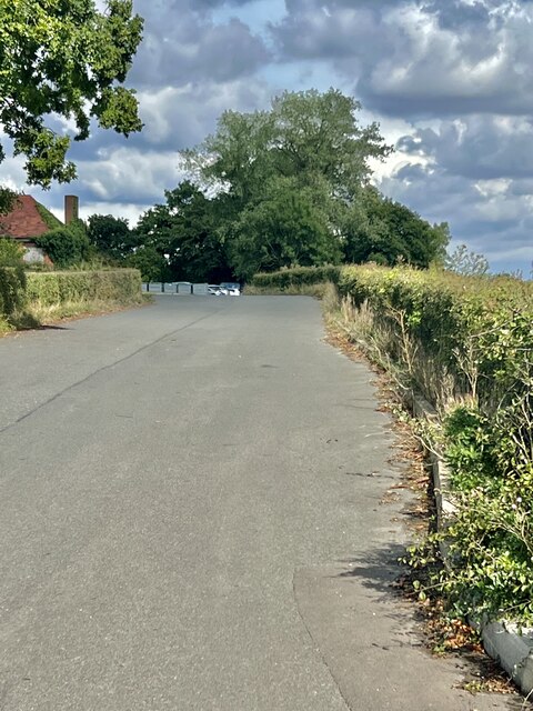
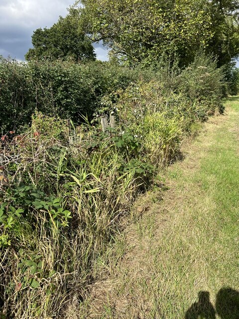
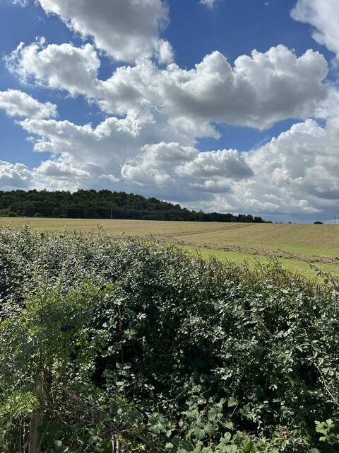
Ain Moor, located in Derbyshire, England, is a picturesque area encompassing both downs and moorland landscapes. Spanning over a vast expanse, Ain Moor offers a diverse range of natural features and scenic beauty. The moorland section of the area is characterized by wide expanses of open grassland, heather, and peat bogs, creating a unique and mesmerizing landscape.
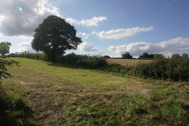
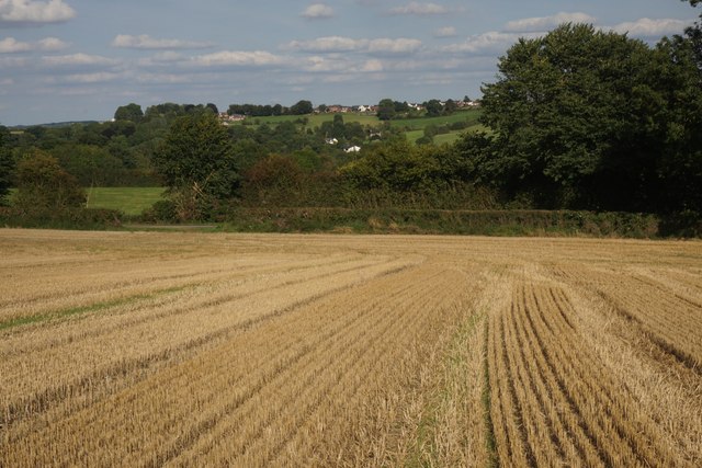
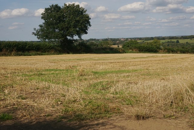
The downs of Ain Moor, on the other hand, present a contrasting view with gently rolling hills covered in lush greenery. This section of the area is adorned with vibrant wildflowers during the warmer months, creating a colorful and breathtaking sight for visitors.
Ain Moor is home to a variety of flora and fauna, providing a haven for numerous species of birds, mammals, and insects. Bird watchers can spot species such as curlews, lapwings, and meadow pipits, while hares, rabbits, and foxes are commonly seen roaming the moorland.
The area is a popular destination for outdoor enthusiasts, offering numerous walking and hiking trails that allow visitors to explore the natural beauty of Ain Moor. The trails provide stunning panoramic views of the surrounding countryside and the opportunity to experience the tranquility and peacefulness of the moorland.
Ain Moor is not only a haven for wildlife and nature lovers but also a place of historical significance. Ancient burial mounds and stone circles can be found scattered across the landscape, providing a glimpse into the area's rich and fascinating past.
Overall, Ain Moor in Derbyshire is a captivating and diverse area, offering a blend of moorland and downs landscapes, abundant wildlife, and a touch of history, making it an ideal destination for nature enthusiasts and history buffs alike.
If you have any feedback on the listing, please let us know in the comments section below.
Ain Moor Images
Images are sourced within 2km of 53.149741/-1.4057126 or Grid Reference SK3961. Thanks to Geograph Open Source API. All images are credited.


Ain Moor is located at Grid Ref: SK3961 (Lat: 53.149741, Lng: -1.4057126)
Administrative County: Derbyshire
District: North East Derbyshire
Police Authority: Derbyshire
What 3 Words
///snowy.skies.harmony. Near Pilsley, Derbyshire
Nearby Locations
Related Wikis

Stretton, Derbyshire
Stretton is a small village and civil parish in Derbyshire, England. The population of the civil parish as at the 2011 Census was 525. It is located near...

Stretton railway station
Stretton railway station was a railway station at Stretton, Derbyshire, England built by the North Midland Railway. == History == Stretton station was...
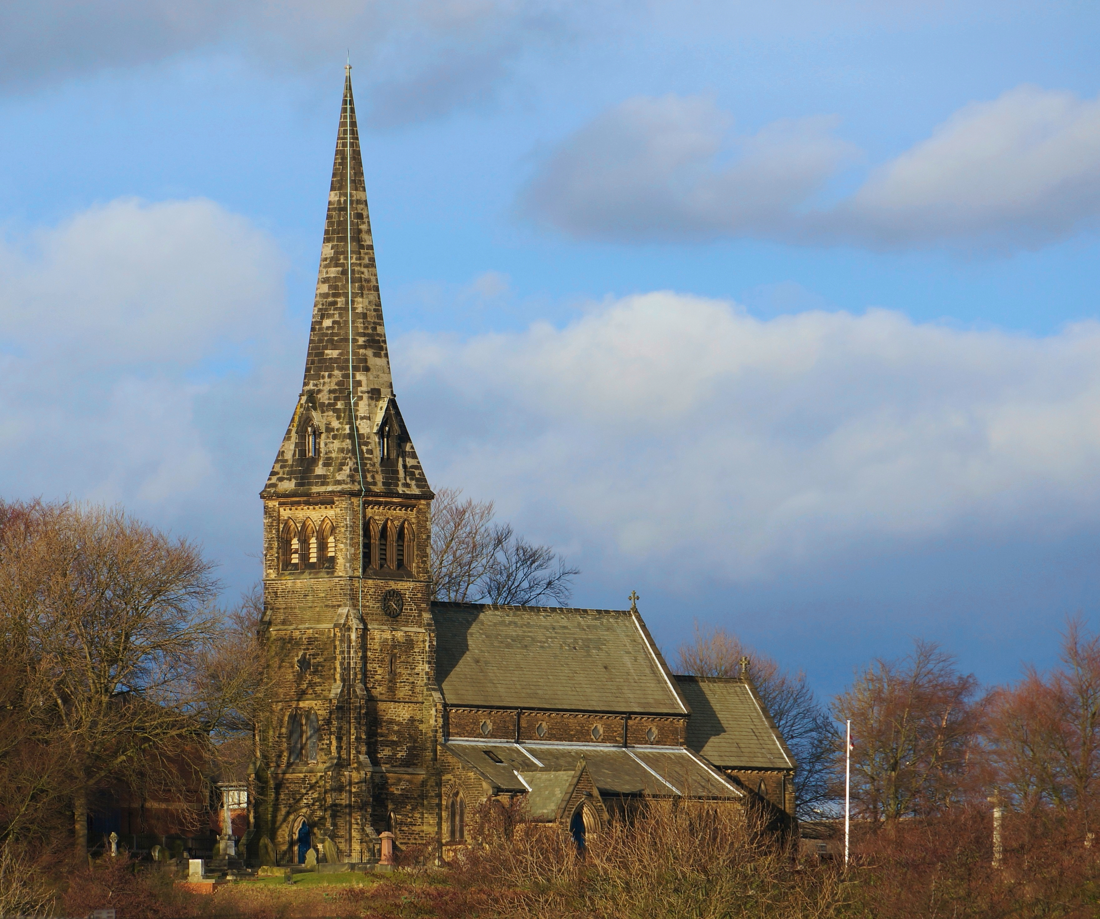
St Bartholomew's Church, Clay Cross
St Bartholomew's Church, Clay Cross is a Grade II listed parish church in the Church of England in Clay Cross, Derbyshire. == History == The foundation...

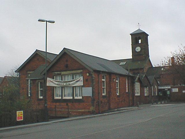
Clay Cross Urban District
Clay Cross was an Urban District in Derbyshire, England from 1894 to 1974. It was created under the Local Government Act 1894. It was enlarged in 1935...
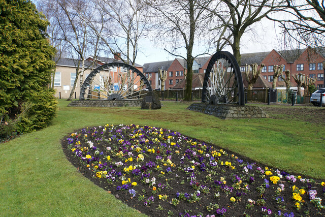
Clay Cross
Clay Cross is a town and a civil parish in the North East Derbyshire district of Derbyshire, England. It is a former industrial and mining town, about...

Clay Lane railway station
Clay Lane railway station was a small station on the Ashover Light Railway and it served the western area of Clay Cross in North East Derbyshire, England...
Springfield railway station (ALR)
Springfield railway station was a small station on the Ashover Light Railway and it served the western area of Clay Cross in North East Derbyshire, England...
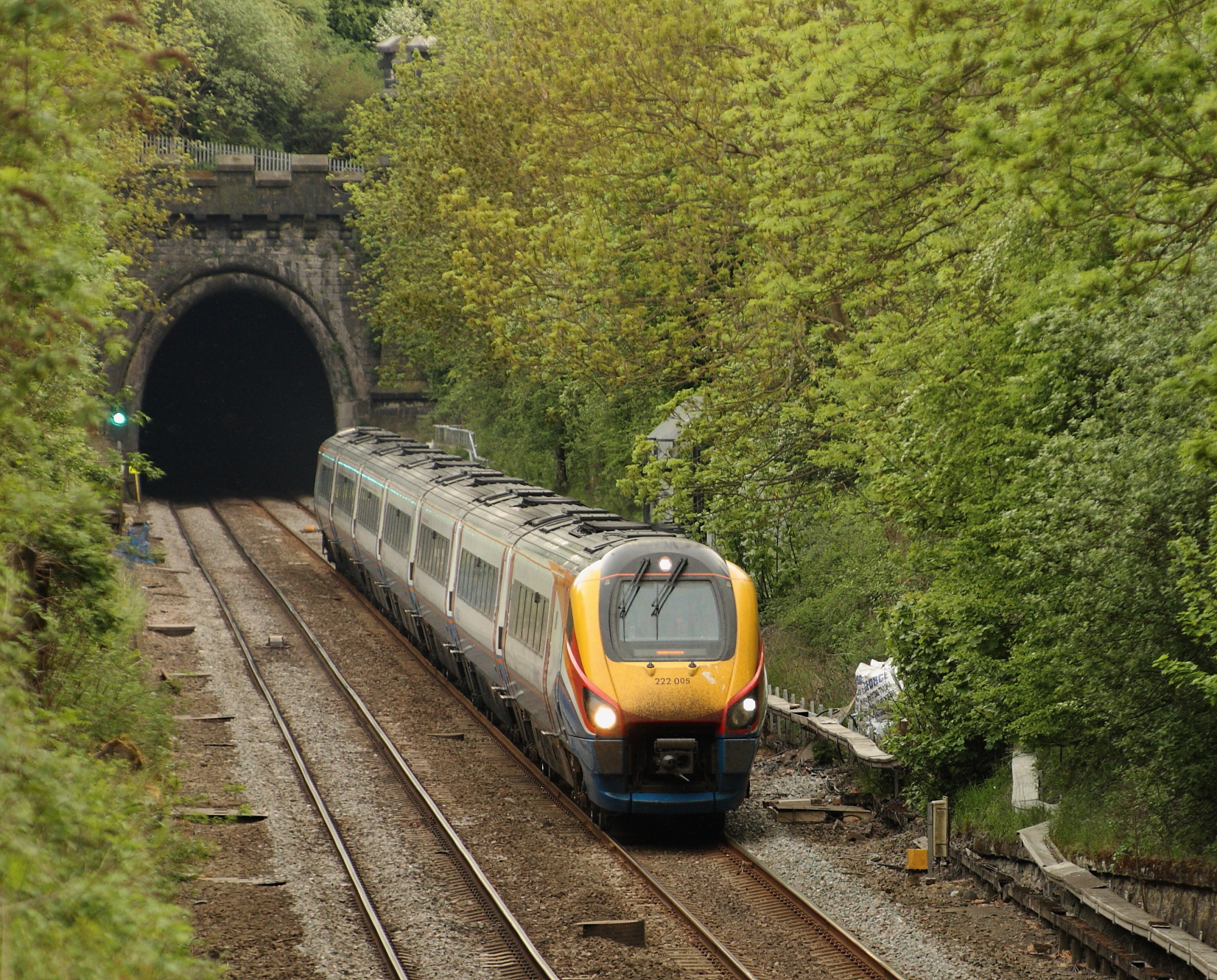
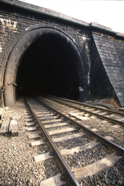
Clay Cross Tunnel
Clay Cross Tunnel is a 1,784 yards (1,631 m) tunnel on the former North Midland Railway line near Clay Cross in Derbyshire, England, now part of the Midland...
Nearby Amenities
Located within 500m of 53.149741,-1.4057126Have you been to Ain Moor?
Leave your review of Ain Moor below (or comments, questions and feedback).