Chadney Meadow
Downs, Moorland in Hampshire New Forest
England
Chadney Meadow
Chadney Meadow is a picturesque area located in Hampshire, England. Nestled within the stunning Hampshire Downs, this meadowland is a haven for nature enthusiasts and those seeking tranquility amidst breathtaking scenery.
The meadow spans across acres of rolling hills, adorned with vibrant wildflowers and lush green grass. It is home to an array of wildlife, including rabbits, deer, and a variety of bird species. The peaceful atmosphere is enhanced by the gentle sound of babbling brooks and the occasional rustle of leaves in the wind.
The landscape of Chadney Meadow is dominated by the impressive Hampshire Downs, a range of chalk hills that provide a stunning backdrop to the area. These rolling hills offer panoramic views of the surrounding countryside, including distant villages and woodland areas. Hikers and walkers are often drawn to this location to explore the numerous trails and footpaths that wind through the meadows and up the downs.
Chadney Meadow is not only a place of natural beauty but also a site of historical significance. The area has been inhabited for centuries, and evidence of ancient settlements can still be found today. Archaeological sites, such as burial mounds and earthworks, provide insights into the rich history of the region.
Overall, Chadney Meadow is a remarkable location that offers a blend of natural beauty, wildlife, and historical intrigue. Whether it's a leisurely stroll through the meadows, a hike up the downs, or simply a moment of peaceful reflection, this Hampshire gem is sure to leave visitors with lasting memories.
If you have any feedback on the listing, please let us know in the comments section below.
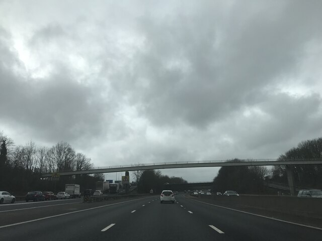
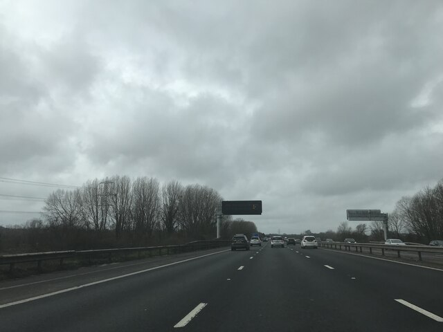
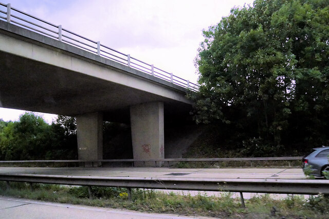
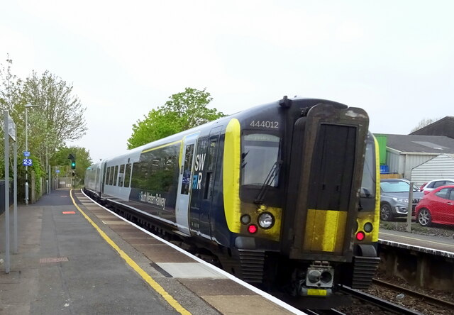
Chadney Meadow Images
Images are sourced within 2km of 50.93258/-1.4861249 or Grid Reference SU3614. Thanks to Geograph Open Source API. All images are credited.
Chadney Meadow is located at Grid Ref: SU3614 (Lat: 50.93258, Lng: -1.4861249)
Administrative County: Hampshire
District: New Forest
Police Authority: Hampshire
What 3 Words
///drove.awards.below. Near Totton, Hampshire
Nearby Locations
Related Wikis

Lower Test Valley
Lower Test Valley is a 142-hectare (350-acre) biological Site of Special Scientific Interest near Totton in Hampshire. It is part of Solent and Southampton...

River Blackwater (River Test)
This River Blackwater drains small parts of the English counties of Hampshire and Wiltshire. It is a tributary of the River Test. == Course == It rises...

River Test
The River Test is a chalk stream in Hampshire in the south of England. It rises at Ashe near Basingstoke and flows southwards for 40 miles (64 km) to Southampton...

Nursling railway station
Nursling railway station served the village of Nursling near Southampton, England. == History == The Andover and Redbridge Railway was authorised in 1858...

Ordnance Survey
The Ordnance Survey (OS) is the national mapping agency for Great Britain. The agency's name indicates its original military purpose (see ordnance and...

Solent University F.C.
Solent University Football Club was a football club attached to Solent University, based in Southampton, Hampshire. The club was affiliated to the Hampshire...
Millbrook F.C.
Millbrook Football Club is a football club based in Southampton, England. They are currently members of the Wessex League Division One and play at Test...

Totton and Eling
Totton and Eling () is a civil parish in Hampshire, England, with a population of about 28,100 people. It contains the town of Totton and is situated between...
Nearby Amenities
Located within 500m of 50.93258,-1.4861249Have you been to Chadney Meadow?
Leave your review of Chadney Meadow below (or comments, questions and feedback).