Summerton's Down
Downs, Moorland in Hampshire
England
Summerton's Down

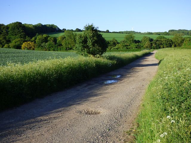
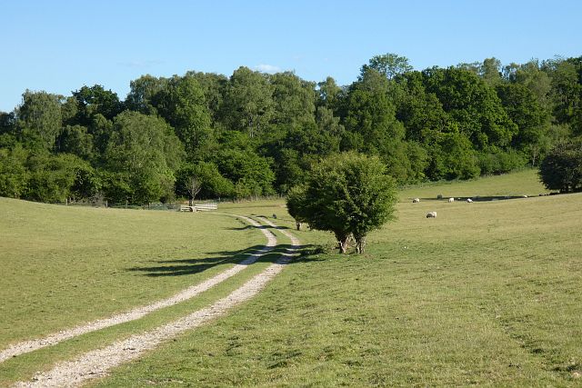
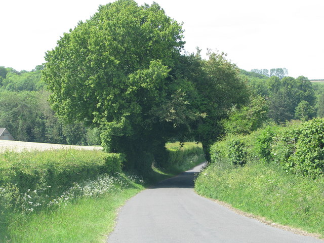
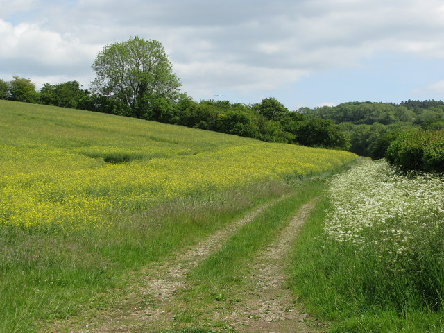
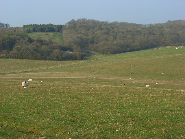
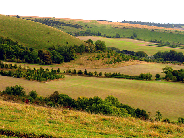
Summerton's Down is a picturesque area located in Hampshire, England. It is part of the larger Hampshire Downs and Moorland region, known for its stunning natural beauty and diverse ecosystem. Covering an expansive area, Summerton's Down offers a variety of landscapes, including rolling hills, open grasslands, and dense woodlands.
The downs of Summerton are characterized by their undulating hills, which provide breathtaking panoramic views of the surrounding countryside. The grasslands are home to a rich array of wildlife, including various species of birds, butterflies, and small mammals. The presence of rare and protected plant species adds to the ecological significance of the area.
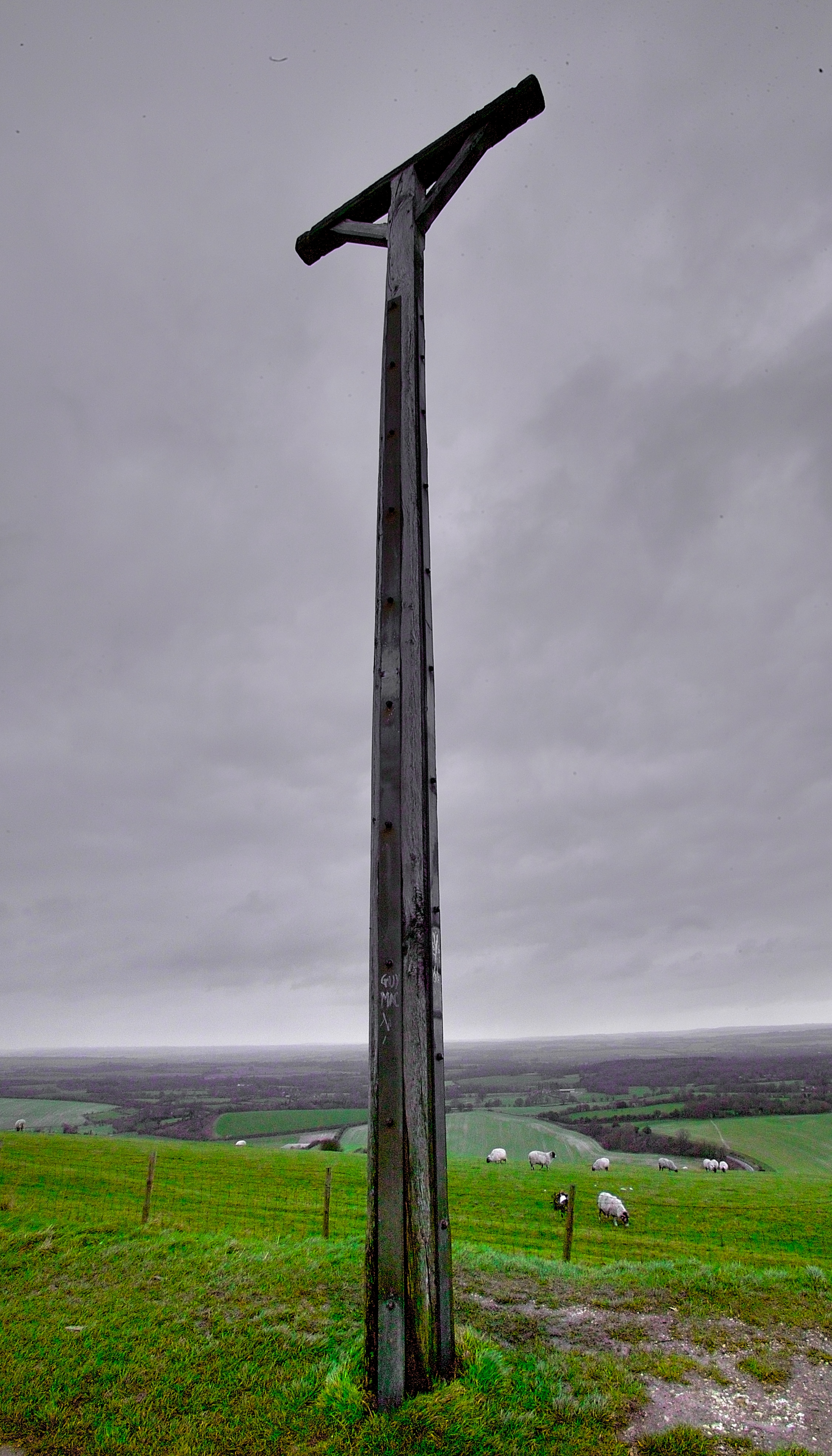
Moorland is another distinct feature of Summerton's Down, with vast expanses of heather and gorse creating a unique and rugged landscape. Visitors can explore the moorland on foot, following designated trails that lead to hidden gems such as ancient burial mounds and remnants of Iron Age settlements.
The area is also a haven for outdoor enthusiasts, offering opportunities for hiking, cycling, and horseback riding. Several well-maintained paths and bridleways crisscross the downs and moorland, allowing visitors to explore the area at their own pace.
Summerton's Down is not only a natural paradise but also a cultural treasure. It has inspired countless artists, writers, and poets over the years, who have captured its beauty in their works. The area's rich history is evident through the presence of archaeological sites, historic landmarks, and charming villages that dot the landscape.
Overall, Summerton's Down in Hampshire is a remarkable destination for nature lovers, history enthusiasts, and those seeking a peaceful and rejuvenating escape.
If you have any feedback on the listing, please let us know in the comments section below.
Summerton's Down Images
Images are sourced within 2km of 51.338806/-1.4815839 or Grid Reference SU3660. Thanks to Geograph Open Source API. All images are credited.


Summerton's Down is located at Grid Ref: SU3660 (Lat: 51.338806, Lng: -1.4815839)
Unitary Authority: West Berkshire
Police Authority: Thames Valley
What 3 Words
///seasons.cooked.mistaking. Near Shalbourne, Wiltshire
Nearby Locations
Related Wikis
Combe Wood and Linkenholt Hanging
Combe Wood and Linkenholt Hanging is a 106.5-hectare (263-acre) biological Site of Special Scientific Interest south of Hungerford in Berkshire. It is...

Combe, Berkshire
Combe is a village and civil parish in the English county of Berkshire. The parish is situated on the top of the North Hampshire Downs near Walbury Hill...

Hog's Hole
Hog's Hole is a 23.7-hectare (59-acre) biological Site of Special Scientific Interest in the civil parish of Combe in the English county of Berkshire....

Walbury Hill
Walbury Hill is a summit of the North Wessex Downs in Berkshire, England. With an elevation of 297 metres (974 ft), it is the highest natural point in...
Combe Gibbet
Combe Gibbet is a gibbet at the top of Gallows Down, near the village and just within the civil parish of Combe in Berkshire (formerly Hampshire), England...

Inkpen Hill
Inkpen Hill is a summit in Berkshire, England, with a maximum elevation of 291 m (955 ft). The hill is about 7 miles (11 km) southwest of Newbury on the...
Inkpen and Walbury Hills
Inkpen and Walbury Hills is an 86.8-hectare (214-acre) biological Site of Special Scientific Interest south of Kintbury in Berkshire. The site is situated...

Combe Hill, Berkshire
Combe Hill is a summit in Berkshire, England, with a maximum elevation of 293 m (961 ft). It lies around 1 mile (1.6 km) to the south-east of Walbury Hill...
Nearby Amenities
Located within 500m of 51.338806,-1.4815839Have you been to Summerton's Down?
Leave your review of Summerton's Down below (or comments, questions and feedback).