Danebury Down
Downs, Moorland in Hampshire Test Valley
England
Danebury Down
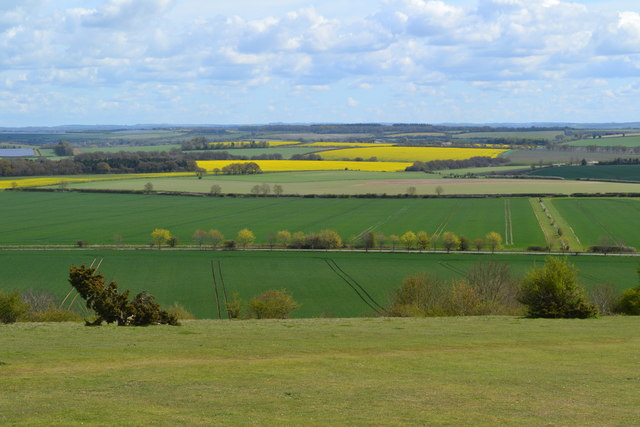
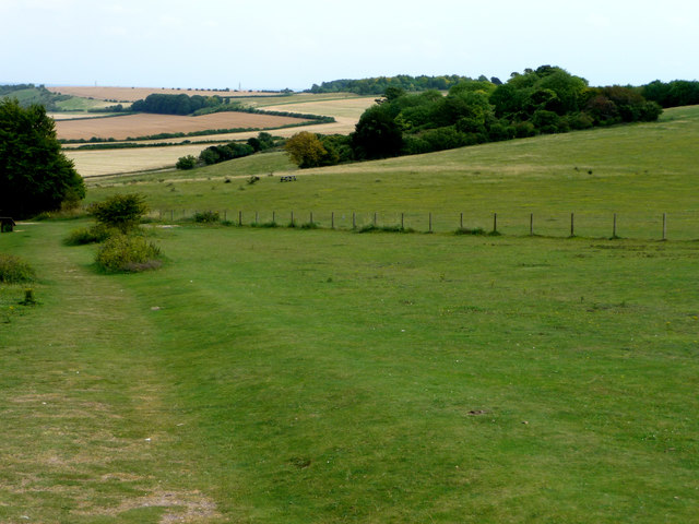
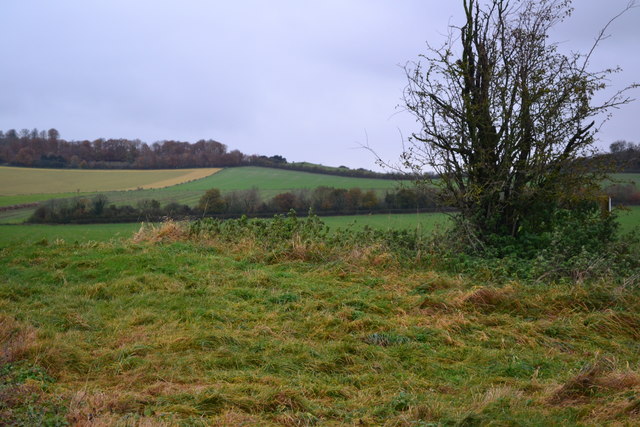
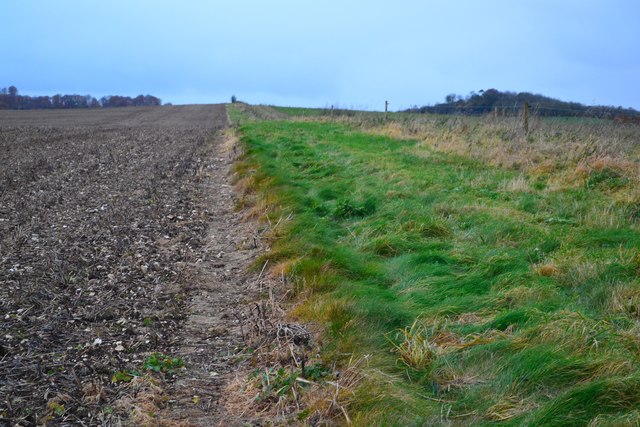
Danebury Down is a picturesque area located in Hampshire, England. It is a part of the larger network of downs and moorland that stretches across the region. The down is situated near the village of Nether Wallop and covers an extensive area of approximately 400 acres.
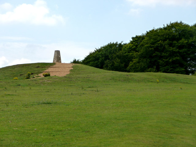
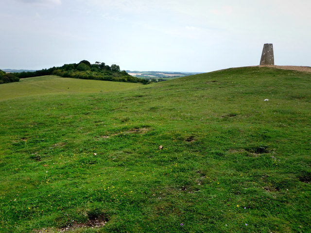
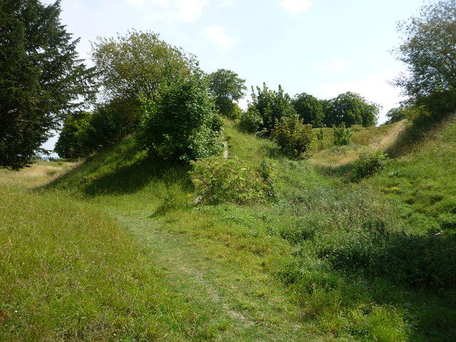
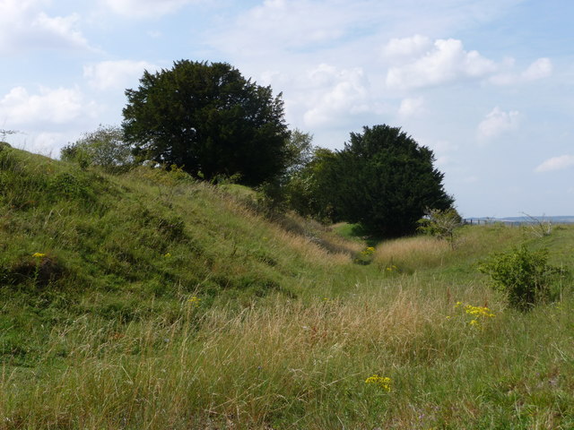
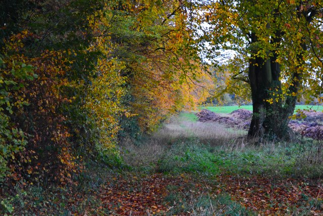
Danebury Down is renowned for its rich history, dating back to the Iron Age. The area is home to an ancient hillfort, which was built around 500 BC. The hillfort is surrounded by impressive earthworks and offers panoramic views of the surrounding countryside. It is a popular destination for hikers and history enthusiasts alike.
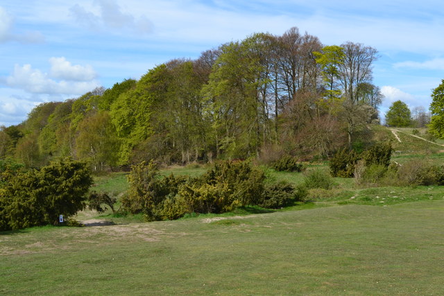
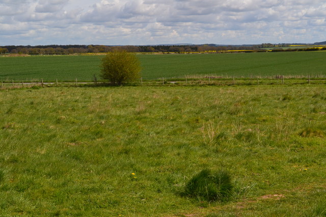
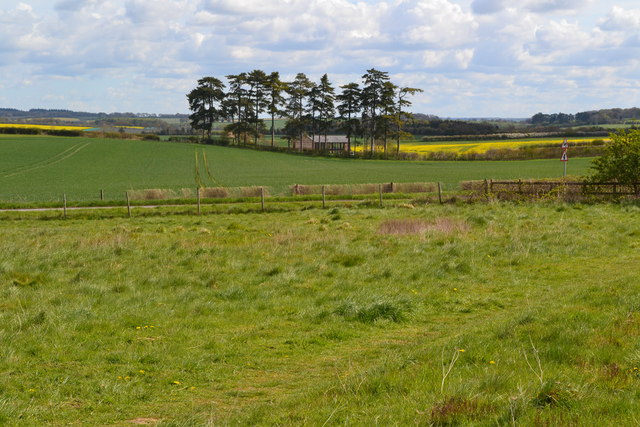
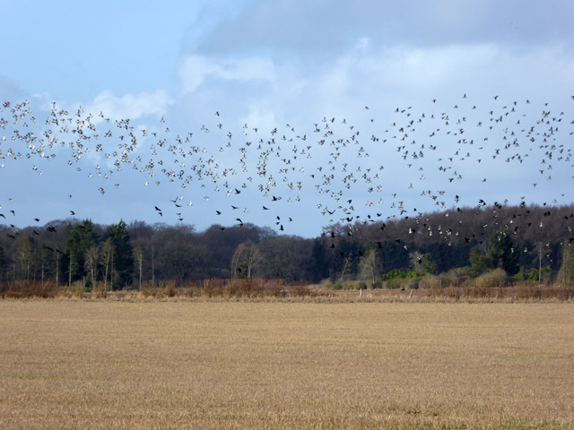
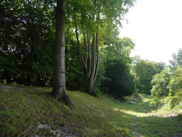
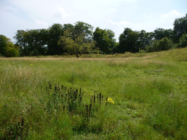
The down itself is characterized by its rolling hills and open grasslands, making it a haven for wildlife. Visitors can spot a variety of bird species, including skylarks and buzzards, as well as rabbits and other small mammals. The area is also home to a diverse range of plant life, with wildflowers adorning the landscape during the warmer months.
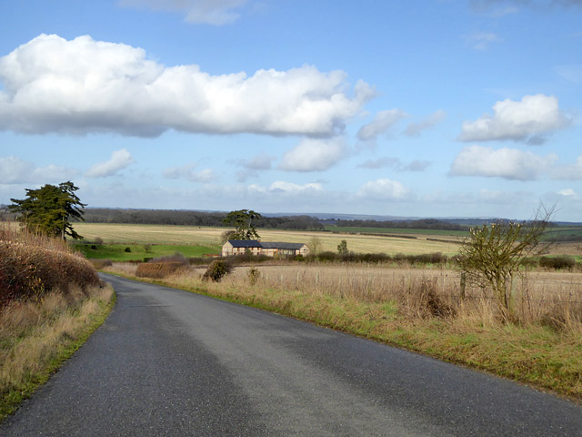
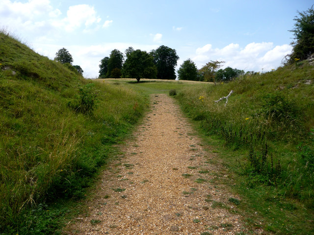
Danebury Down offers a multitude of walking trails, allowing visitors to explore the area at their own pace. These paths provide opportunities to discover the down's unique flora and fauna, as well as experience its tranquil atmosphere. Additionally, there are designated areas for picnicking, making it an ideal spot for families and nature lovers to spend a leisurely day outdoors.
Overall, Danebury Down is a captivating destination that offers a blend of natural beauty, historical significance, and recreational opportunities. Whether one is interested in its ancient past or simply seeking a peaceful retreat, this Hampshire gem is sure to leave a lasting impression.
If you have any feedback on the listing, please let us know in the comments section below.
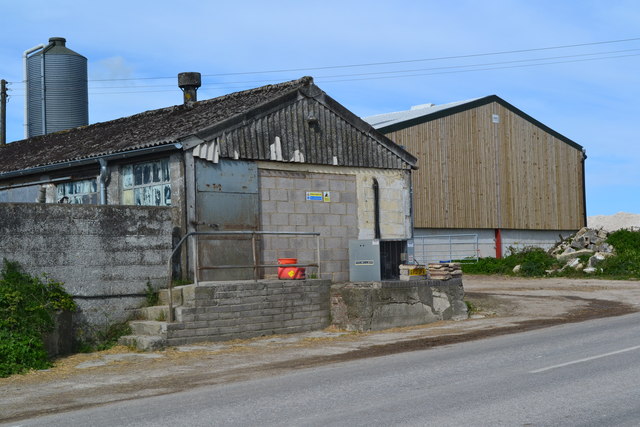
Danebury Down Images
Images are sourced within 2km of 51.13233/-1.5343329 or Grid Reference SU3237. Thanks to Geograph Open Source API. All images are credited.
Danebury Down is located at Grid Ref: SU3237 (Lat: 51.13233, Lng: -1.5343329)
Administrative County: Hampshire
District: Test Valley
Police Authority: Hampshire
What 3 Words
///subway.firms.punters. Near Abbotts Ann, Hampshire
Nearby Locations
Related Wikis

Danebury
Danebury is an Iron Age hillfort in Hampshire, England, about 19 kilometres (12 mi) north-west of Winchester (grid reference SU323376). The site, covering...

Danebury Hill
Danebury Hill is a 13.7-hectare (34-acre) biological Site of Special Scientific Interest north-east of Nether Wallop in Hampshire. It is part of Danebury...

Chattis Hill
Chattis Hill is a hamlet in the Test Valley district of Hampshire, England. The village lies approximately 2 miles (3.3 km) west from Stockbridge, which...
Battle of Guoloph
The Battle of Guoloph, also known as the Battle of Wallop, took place in the 5th century. Various dates have been put forward: 440 AD by Alfred Anscombe...
Nearby Amenities
Located within 500m of 51.13233,-1.5343329Have you been to Danebury Down?
Leave your review of Danebury Down below (or comments, questions and feedback).