Danebury Hill
Hill, Mountain in Hampshire Test Valley
England
Danebury Hill
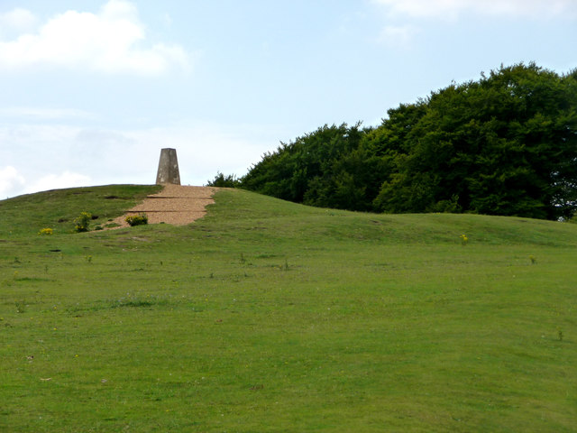
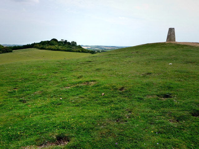
Danebury Hill, located in Hampshire, England, is a prominent Iron Age hillfort that stands as a testament to the region's rich historical significance. This hillfort, believed to have been constructed around 500 BC, is situated near the village of Nether Wallop and rises approximately 143 meters above sea level.
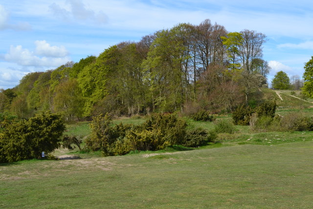
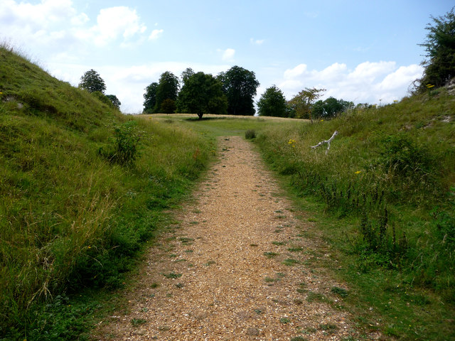
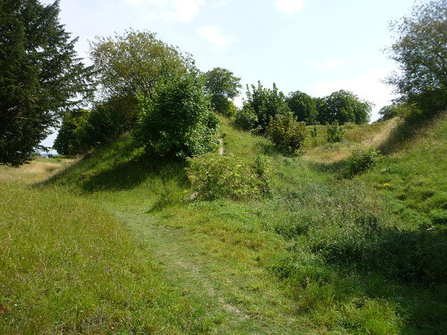
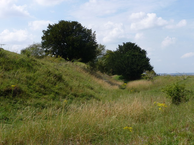
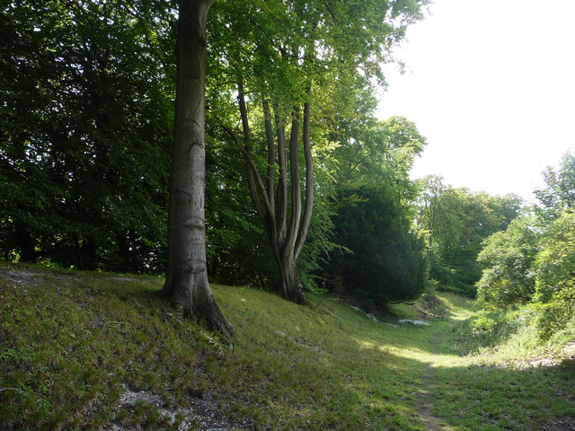
Danebury Hill boasts an impressive circular shape, measuring approximately 76 meters in diameter. The hillfort is surrounded by multiple ditches and ramparts, which were likely built as a defensive measure against potential intruders. These earthworks, in addition to their defensive purpose, also provide visitors with a striking visual representation of the fort's former grandeur.
Excavations at Danebury Hill have revealed numerous artifacts, shedding light on its historical significance. The hillfort was once home to a vibrant Iron Age community, as evidenced by the discovery of pottery, animal bones, and even human remains. These findings suggest that Danebury Hill served not only as a stronghold but also as a hub for social interactions and trade during this period.
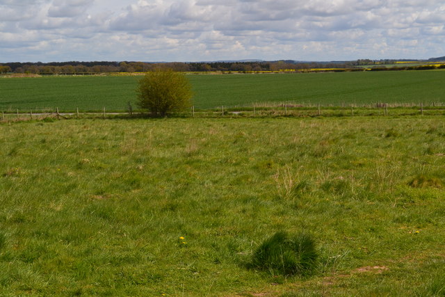
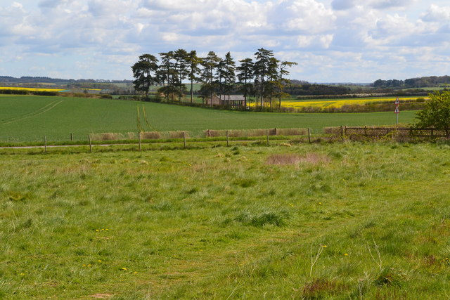
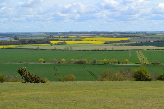
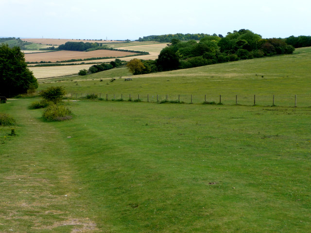
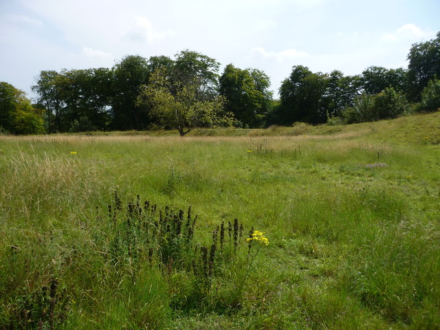
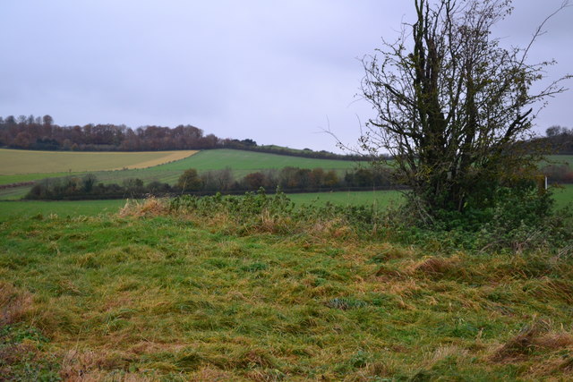
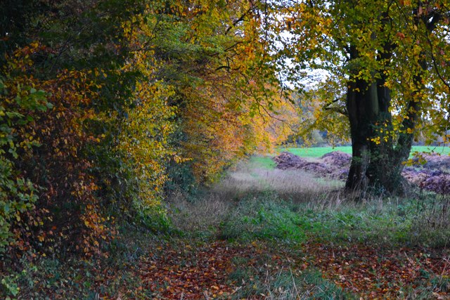
Today, Danebury Hill is a popular destination for both history enthusiasts and nature lovers. The site offers breathtaking panoramic views of the surrounding Hampshire countryside, making it an ideal spot for a leisurely hike or a picnic. Visitors can explore the hillfort's interior, walking along the ancient pathways and imagining the lives of the Iron Age inhabitants who once called this place home.
In summary, Danebury Hill stands as a remarkable archaeological site, preserving the remnants of an Iron Age hillfort and offering visitors a glimpse into Hampshire's rich historical past.
If you have any feedback on the listing, please let us know in the comments section below.
Danebury Hill Images
Images are sourced within 2km of 51.137306/-1.5397285 or Grid Reference SU3237. Thanks to Geograph Open Source API. All images are credited.


Danebury Hill is located at Grid Ref: SU3237 (Lat: 51.137306, Lng: -1.5397285)
Administrative County: Hampshire
District: Test Valley
Police Authority: Hampshire
What 3 Words
///paying.configure.overhear. Near Abbotts Ann, Hampshire
Nearby Locations
Related Wikis

Danebury
Danebury is an Iron Age hillfort in Hampshire, England, about 19 kilometres (12 mi) north-west of Winchester (grid reference SU323376). The site, covering...

Danebury Hill
Danebury Hill is a 13.7-hectare (34-acre) biological Site of Special Scientific Interest north-east of Nether Wallop in Hampshire. It is part of Danebury...
Battle of Guoloph
The Battle of Guoloph, also known as the Battle of Wallop, took place in the 5th century. Various dates have been put forward: 440 AD by Alfred Anscombe...

Chattis Hill
Chattis Hill is a hamlet in the Test Valley district of Hampshire, England. The village lies approximately 2 miles (3.3 km) west from Stockbridge, which...
Nearby Amenities
Located within 500m of 51.137306,-1.5397285Have you been to Danebury Hill?
Leave your review of Danebury Hill below (or comments, questions and feedback).