Sarson Down
Downs, Moorland in Hampshire Test Valley
England
Sarson Down
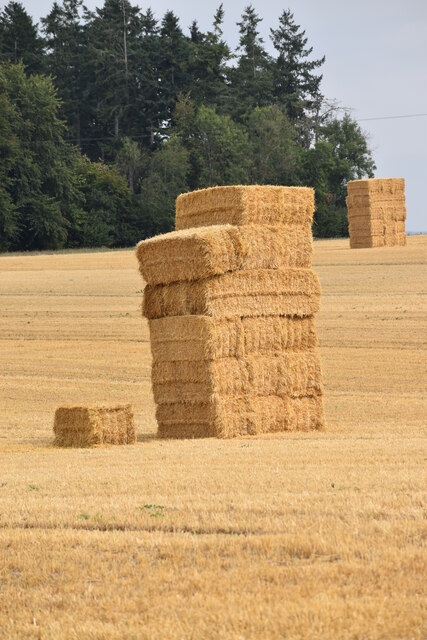
Sarson Down is a vast expanse of moorland located in the county of Hampshire, England. Situated approximately 10 miles north of the city of Winchester, it covers an area of around 1,000 acres and is part of the larger landscape known as the Hampshire Downs.
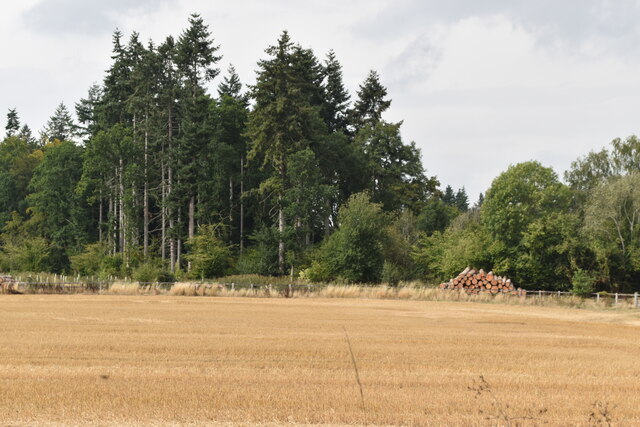
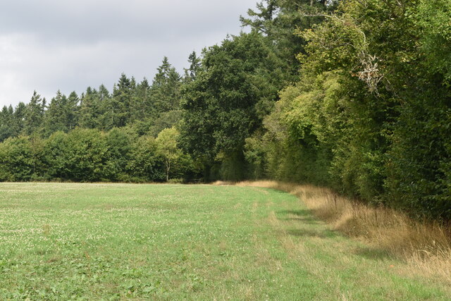
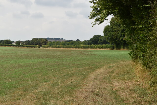
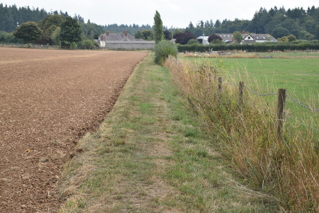
The moorland is characterized by its rolling hills and open grassy terrain, providing a stunning panoramic view of the surrounding countryside. The area is rich in biodiversity, with a diverse range of flora and fauna. It is particularly known for its heathland, which is home to rare plant species such as heather, gorse, and bilberry.
Sarson Down is also a haven for wildlife, attracting a variety of bird species, including skylarks and meadow pipits. It is a popular destination for birdwatchers, who can spot birds of prey such as kestrels and buzzards soaring above the moorland.
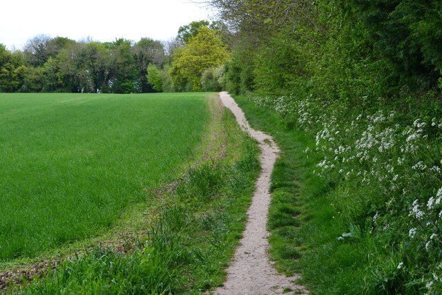
The area is crisscrossed with footpaths and bridleways, making it an ideal location for outdoor enthusiasts. Hikers, cyclists, and horse riders can explore the vast network of trails that wind their way through the moorland, offering breathtaking views and a chance to immerse oneself in nature.
Sarson Down is a designated Site of Special Scientific Interest (SSSI) due to its ecological importance. It is managed by the Hampshire County Council and is protected to preserve its unique habitat and wildlife. The moorland also serves as a valuable carbon sink, contributing to efforts to combat climate change.
Overall, Sarson Down offers visitors a tranquil and picturesque environment in which to appreciate the beauty of Hampshire's natural landscape.
If you have any feedback on the listing, please let us know in the comments section below.
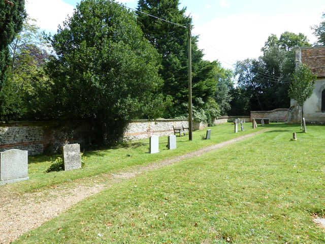
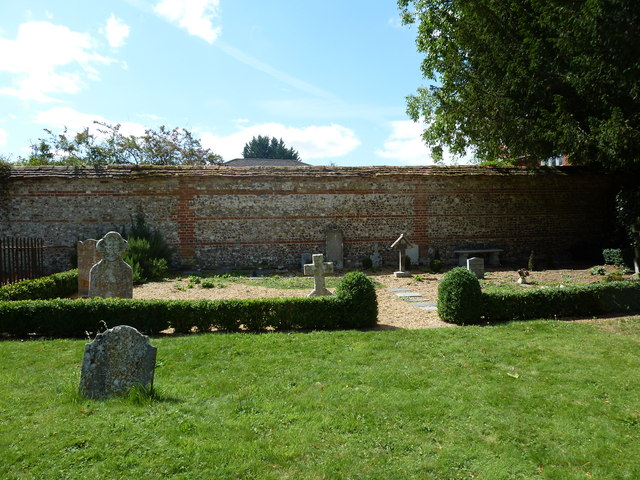
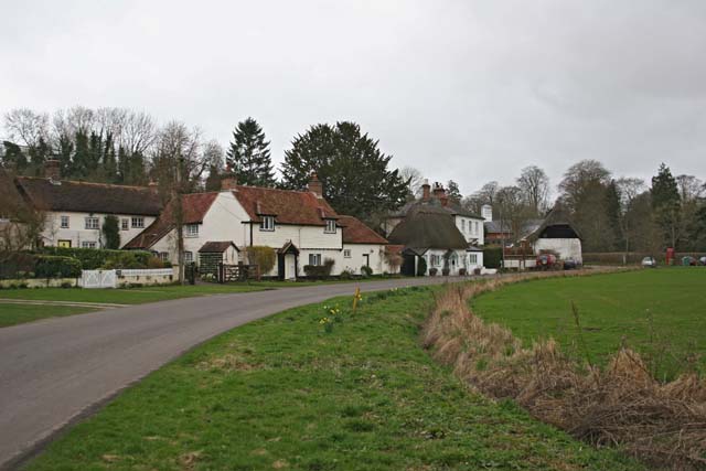
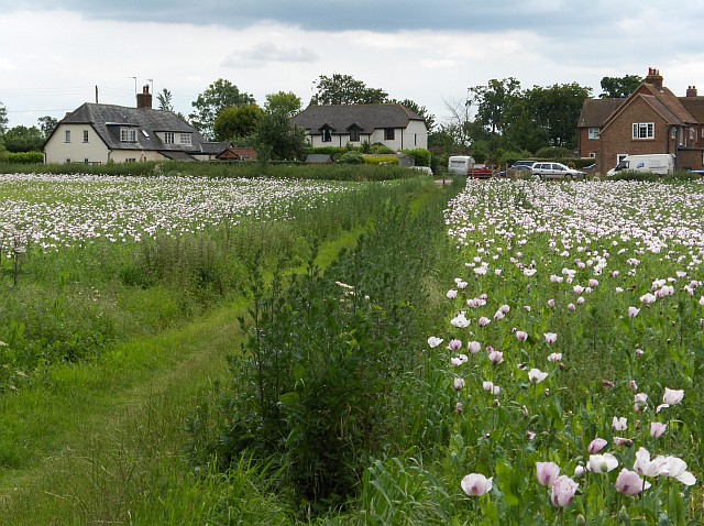
Sarson Down Images
Images are sourced within 2km of 51.183197/-1.5692886 or Grid Reference SU3042. Thanks to Geograph Open Source API. All images are credited.
Sarson Down is located at Grid Ref: SU3042 (Lat: 51.183197, Lng: -1.5692886)
Administrative County: Hampshire
District: Test Valley
Police Authority: Hampshire
What 3 Words
///dust.wobbles.expect. Near Abbotts Ann, Hampshire
Nearby Locations
Related Wikis

Fox Amport
Fox is a hamlet in the civil parish of Amport in the Test Valley district of Hampshire, England. Its nearest town is Andover, which lies approximately...

Amport House
Amport House is a country house near the village of Amport, Andover, Hampshire, England. It is a Grade II listed building. The house was built in 1857...
Amport
Amport is a village and civil parish in the Test Valley district of Hampshire, England, a few miles west of Andover. It incorporates the small hamlet...

Monxton
Monxton is a village and civil parish in Hampshire, England. It lies 3 miles west of Andover near the A303 road. It had one pub, named the Black Swan,...
East Cholderton
East Cholderton is a hamlet in the civil parish of Amport in the Test Valley district of Hampshire, England. Its nearest town is Andover which lies approximately...

Grateley
Grateley is a village and civil parish in the north west of Hampshire, England. The name is derived from the Old English grēat lēah, meaning 'great wood...
Thruxton, Hampshire
Thruxton is just off the A303 road five miles (8.0 km) west of Andover. It is a village with a Manor House, thatched cottages and village green. Pillhill...
Abbotts Ann Down
Abbotts Ann Down is a hamlet in Hampshire, England, within the civil parish of Abbotts Ann. The settlement lies on the A343 road and is approximately 3...
Have you been to Sarson Down?
Leave your review of Sarson Down below (or comments, questions and feedback).