Thorn Spinney

Downs, Moorland in Warwickshire North Warwickshire

England

Thorn Spinney

Abbey Farm on Merevale Lane
Abbey Farm on Merevale Lane Credit: Ian S

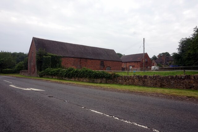
Thorn Spinney is a beautiful nature reserve located in the county of Warwickshire, England. It is situated on the outskirts of a small village called Downs, surrounded by vast moorland and rolling hills. The reserve covers an area of approximately 100 acres and is known for its diverse range of flora and fauna.

The main feature of Thorn Spinney is its ancient woodland, which is home to a variety of native tree species such as oak, beech, and birch. The woodland floor is covered in a carpet of bluebells during the spring, creating a stunning display of color. The reserve also boasts several well-maintained footpaths, allowing visitors to explore the area and appreciate its natural beauty.

The moorland surrounding Thorn Spinney provides a habitat for a wide range of wildlife. It is a haven for birdwatchers, with species such as skylarks, kestrels, and buzzards frequently spotted in the area. The open grasslands also attract rabbits, hares, and various species of butterflies.

Thorn Spinney offers a peaceful and tranquil environment, making it a popular destination for nature lovers and walkers alike. The reserve is well-maintained by the local authorities, ensuring visitors can enjoy its beauty while preserving its natural heritage.

Overall, Thorn Spinney in Warwickshire is a picturesque nature reserve that showcases the diverse landscapes and wildlife of the area. Whether you are a keen naturalist or simply looking for a peaceful retreat, this hidden gem is well worth a visit.

If you have any feedback on the listing, please let us know in the comments section below.

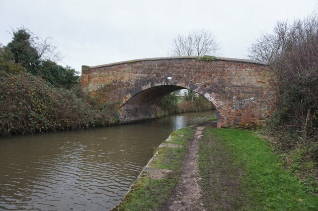
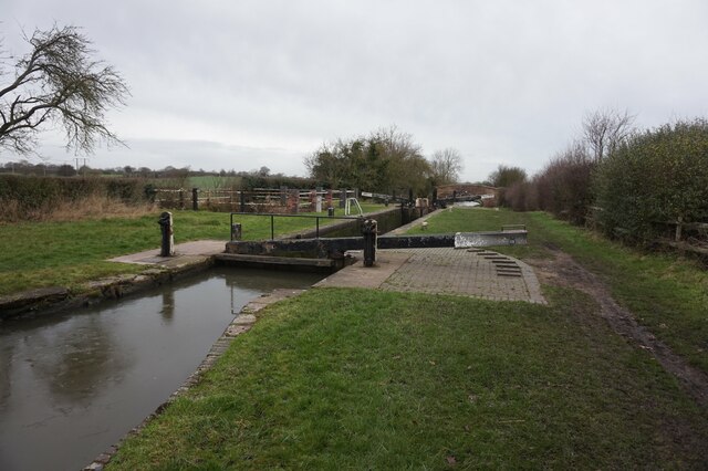
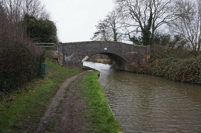
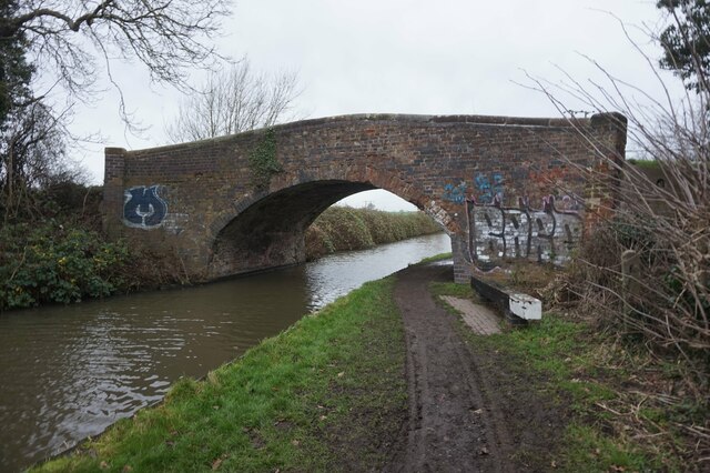
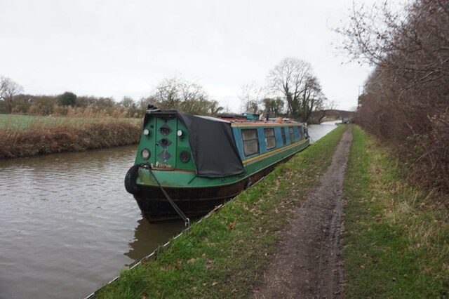
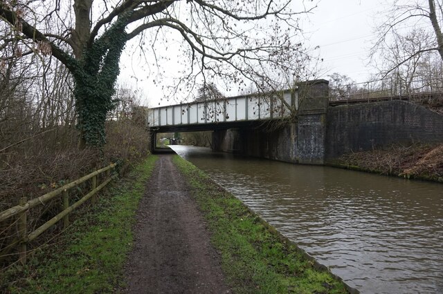
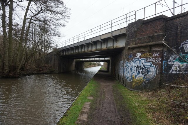
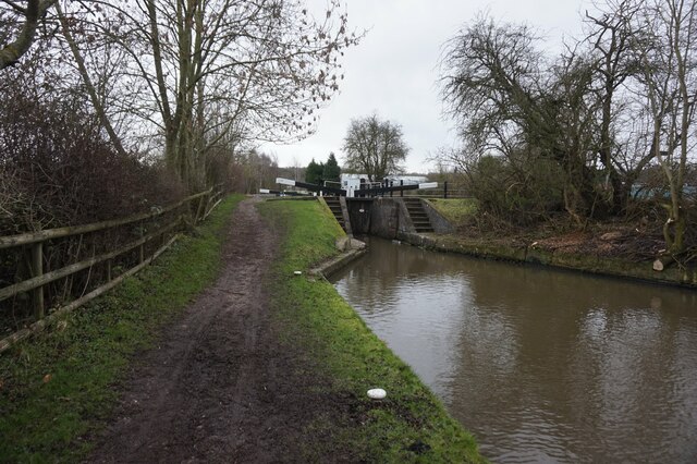
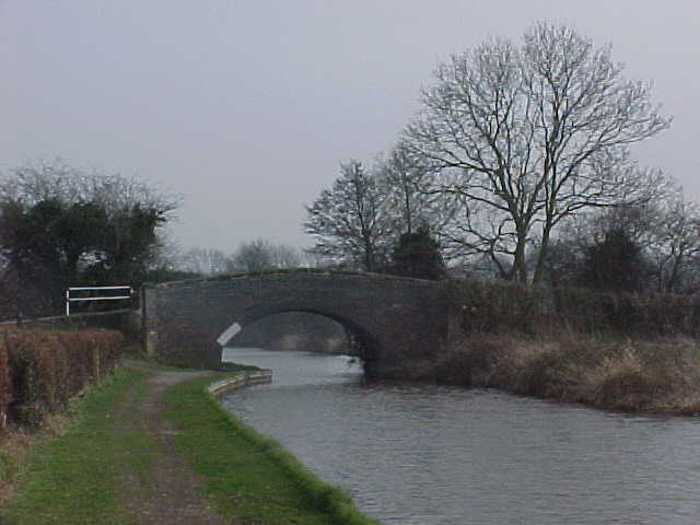
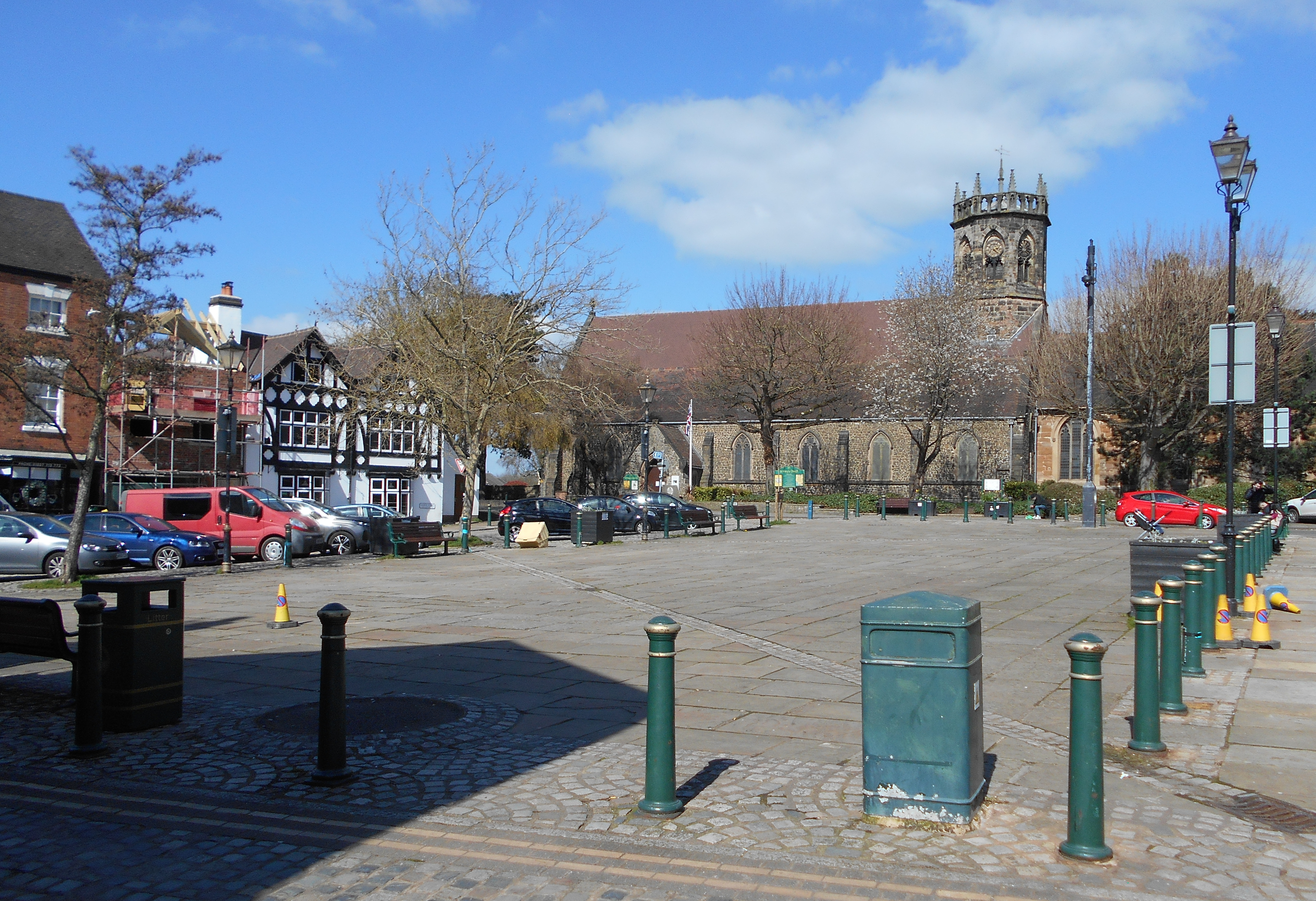
Thorn Spinney Images

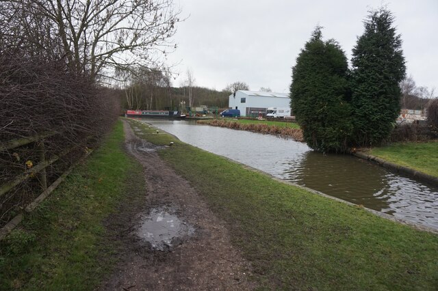
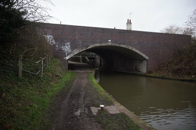
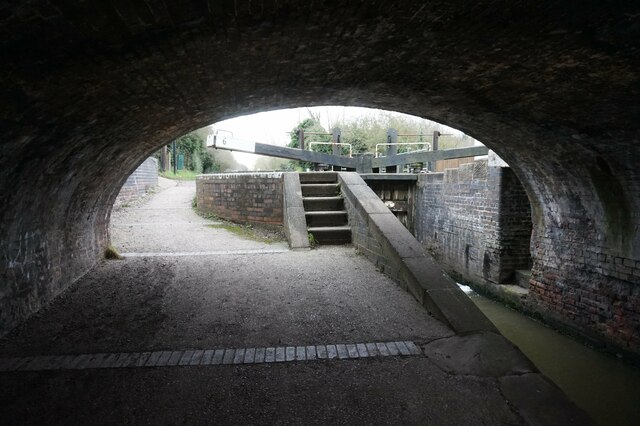
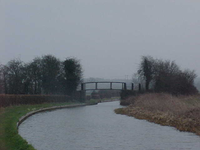
Images are sourced within 2km of 52.577085/-1.5560327 or Grid Reference SP3097. Thanks to Geograph Open Source API. All images are credited.

Abbey Farm on Merevale Lane
B4116 Holly Lane, Atherstone
Atherstone Locks No.9 – 1978 Whittington Bridge No.46 in the background. This and the pair of locks are Listed Grade II as three separate Listings.
Atherstone Locks No.9 – 1978
Whittington Bridge No.46 in the background. This and the pair of locks are Listed Grade II as three separate Listings.
Coventry Canal towards bridge #46
Coventry Canal at Whittington Bridge, bridge #46
Coventry Canal at Atherstone Lock #8
Coventry Canal at Baddesley Bridge, bridge #45
Canal boat Pendragon, Coventry Canal
Coventry Canal at bridge #44A
Coventry Canal towards lock #7
Coventry Canal towards bridge #44
Coventry Canal at Kings Head Bridge,  bridge #44
Coventry Canal at Kings Head Bridge, bridge #44
Coventry Canal at Lock #6
Coventry Canal Approaching Whitley Bridge, number 47.
Coventry Canal
Approaching Whitley Bridge, number 47.
Coventry Canal Near Baddesley Bridge, number 45.
Coventry Canal
Near Baddesley Bridge, number 45.
Show me another place!

Thorn Spinney is located at Grid Ref: SP3097 (Lat: 52.577085, Lng: -1.5560327)

Administrative County: Warwickshire

District: North Warwickshire

Police Authority: Warwickshire

What 3 Words

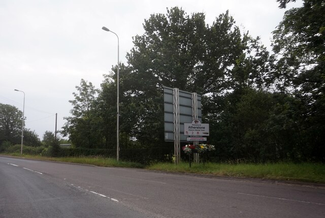
///ferried.chart.commander. Near Atherstone, Warwickshire

Related Wikis

Atherstone railway station

Atherstone is a railway station serving the market town of Atherstone in Warwickshire, England. It is on the Trent Valley section of the West Coast Main...

St Mary's Church, Atherstone

St. Mary's Church, Atherstone is a Grade II* listed parish church in Atherstone, Warwickshire, England.The stonework in the tower is in poor condition...

Atherstone

Atherstone is a market town and civil parish in the North Warwickshire district of Warwickshire, England. Located in the far north of the county, Atherstone...

Atherstone rail accident

The Atherstone rail accident happened near Atherstone railway station in the small hours of the morning of 16 November 1860, and killed 10 people. A special...

North Warwickshire

North Warwickshire is a local government district with borough status in the ceremonial county of Warwickshire, West Midlands, England. The borough includes...

Merevale Hall

Merevale Hall is a private country house in Merevale, near Atherstone, Warwickshire, England. It is a Grade II* listed building. The estate descends from...

Atherstone Rural District

Atherstone Rural District was located in the administrative county of Warwickshire, England, from 1894 to 1974. It was named after its main town and administrative...

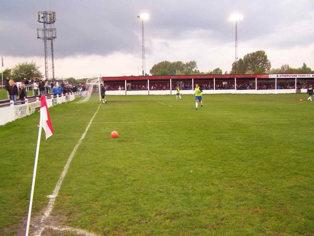
Atherstone Town F.C.

Atherstone Town Community Football Club is a football club based in Atherstone, Warwickshire, England. They are currently members of the Midland League...

Nearby Amenities

Located within 500m of 52.577085,-1.5560327
Bench
Backrest: yes
Colour: brown
Material: wood
Seats: 2
Lat/Long: 52.5783197/-1.549993
Heritage: 2
Heritage Operator: Historic England
Listed Status: Grade II
Seamark Type: gate
Waterway: lock_gate
Lat/Long: 52.5748125/-1.550383
Heritage: 2
Heritage Operator: Historic England
Listed Status: Grade II
Seamark Type: gate
Waterway: lock_gate
Lat/Long: 52.5755543/-1.5517553
Seamark Type: gate
Waterway: lock_gate
Lat/Long: 52.5767875/-1.5528544
Seamark Type: gate
Waterway: lock_gate
Lat/Long: 52.5778543/-1.5534042
Seamark Type: gate
Waterway: lock_gate
Lat/Long: 52.5780596/-1.5535139
Heritage: 2
Heritage Operator: Historic England
Listed Status: Grade II
Seamark Type: gate
Waterway: lock_gate
Lat/Long: 52.579476/-1.5542826
Motorway Junction
Lat/Long: 52.5805789/-1.5532205
Bus Stop
Railway Station
Bus: yes
Naptan AtcoCode: 4200F178801
Naptan Bearing: W
Naptan CommonName: Railway Station
Naptan Indicator: Adj
Naptan NaptanCode: waradatj
Naptan Street: Long Street
Naptan Verified: no
Public Transport: platform
Shelter: no
Source: naptan_import
Lat/Long: 52.5785995/-1.5514733
Bus Stop
Railway Station
Bus: yes
Naptan AtcoCode: 4200F178802
Naptan Bearing: E
Naptan CommonName: Railway Station
Naptan Indicator: Opp
Naptan NaptanCode: waradatm
Naptan Street: Long Street
Naptan Verified: no
Public Transport: platform
Shelter: no
Source: naptan_import
Lat/Long: 52.5786987/-1.5514928
Atherstone Locks
Place: locality
Lat/Long: 52.5789568/-1.5586532
Recycling
Recycling Clothes: yes
Lat/Long: 52.5781662/-1.5512651
Restaurant
Happy Gathering
Cuisine: chinese
Lat/Long: 52.5781438/-1.5499204
Library
Warwickshire Library & Information Service
Opening Hours: Mo-Fr 08:30-20:00
Wikimedia Commons: File:Atherstone Library and Information Centre.jpg
Lat/Long: 52.5783564/-1.5495226
Pub
Wheatsheaf
Lat/Long: 52.5780544/-1.549568
Pub
The Clock
Operator: Stonegate
Operator Wikidata: Q7619176
Website: https://www.craftunionpubs.com/the-clock-pub-atherstone
Lat/Long: 52.5781928/-1.5493733
Female: yes
Male: yes
Shop: hairdresser
Lat/Long: 52.5778751/-1.548841
Source: Warwickshire_CC_ Aerial_Imagery_2013
Traffic Calming: hump
Lat/Long: 52.5773851/-1.5500522
Source: Warwickshire_CC_ Aerial_Imagery_2013
Traffic Calming: bump
Lat/Long: 52.5774195/-1.5509216
Crossing
Crossing: uncontrolled
Crossing Markings: zebra
Source: Warwickshire_CC_ Aerial_Imagery_2013
Lat/Long: 52.5774384/-1.5503217
Mini Roundabout
Direction: clockwise
Source: bing
Lat/Long: 52.5775291/-1.5506285
Give Way
Direction: forward
Lat/Long: 52.5783379/-1.5503602
Traffic Calming: table
Lat/Long: 52.5770434/-1.548854
Heritage: 2
Heritage Operator: Historic England
Listed Status: Grade II
Seamark Type: gate
Waterway: lock_gate
Lat/Long: 52.5746697/-1.55011
Heritage: 2
Heritage Operator: Historic England
Listed Status: Grade II
Seamark Type: gate
Waterway: lock_gate
Lat/Long: 52.5754056/-1.5514717
Seamark Type: gate
Waterway: lock_gate
Lat/Long: 52.5765863/-1.5527439
Heritage: 2
Heritage Operator: Historic England
Listed Status: Grade II
Seamark Type: gate
Waterway: lock_gate
Lat/Long: 52.579242/-1.5541539
Atherstone
Naptan AtcoCode: 9100ATHRSTN
Network: National Rail
Network Website: https://www.nationalrail.co.uk/stations/ath/
Network Wikidata: Q26334
Public Transport: station
Railway: station
Ref Crs: ATH
Source: NPE
Wikidata: Q604337
Wikipedia: en:Atherstone railway station
Lat/Long: 52.5784071/-1.5522587
Public Transport: stop_position
Lat/Long: 52.5783931/-1.5523137
Public Transport: stop_position
Railway: stop
Train: yes
Lat/Long: 52.5783843/-1.5523575
Atherstone
Public Transport: stop_position
Railway: stop
Train: yes
Lat/Long: 52.578427/-1.5522125
Source: Warwickshire_CC_ Aerial_Imagery_2013
Traffic Calming: hump
Lat/Long: 52.5780367/-1.5505468
Atherstone Ball Game
Artist Name: Michael Disley
Artwork Type: sculpture
Source: survey
Tourism: artwork
Lat/Long: 52.5775345/-1.5507945
Power: substation
Source: survey
Lat/Long: 52.5783393/-1.5509875
Man Made: surveillance
Source: survey
Lat/Long: 52.5783887/-1.5509672
Kindergarten
Ashleigh Nursery School
Lat/Long: 52.580151/-1.5553635
Generator Method: photovoltaic
Generator Output Electricity: yes
Generator Source: solar
Generator Type: solar_photovoltaic_panel
Location: roof
Power: generator
Lat/Long: 52.575191/-1.5499735
Whitehouse & Son Opticians
Shop: optician
Lat/Long: 52.5779912/-1.5493368
Water Point
Atherstone Water Point (above lock 5)
Access: permissive
Centralkey: crt_watermate
Drinking Water: yes
Man Made: water_tap
Operator: Canal and River Trust
Waterway: water_point
Lat/Long: 52.5791599/-1.5540171
Crossing
Crossing: unmarked
Crossing Markings: no
Lat/Long: 52.5804099/-1.5561717
Crossing
Crossing: unmarked
Crossing Markings: no
Lat/Long: 52.5805572/-1.5561156
The data included in this document is from www.openstreetmap.org. The data is made available under ODbL.

Have you been to Thorn Spinney?

Leave your review of Thorn Spinney below (or comments, questions and feedback).