Atherstone

Settlement in Warwickshire North Warwickshire

England

Atherstone

Abbey Farm on Merevale Lane
Abbey Farm on Merevale Lane Credit: Ian S

Atherstone is a small market town located in the county of Warwickshire, England. Situated on the River Anker, it is situated approximately 10 miles north of Nuneaton and 12 miles south-west of Tamworth. Atherstone has a population of around 10,000 people.

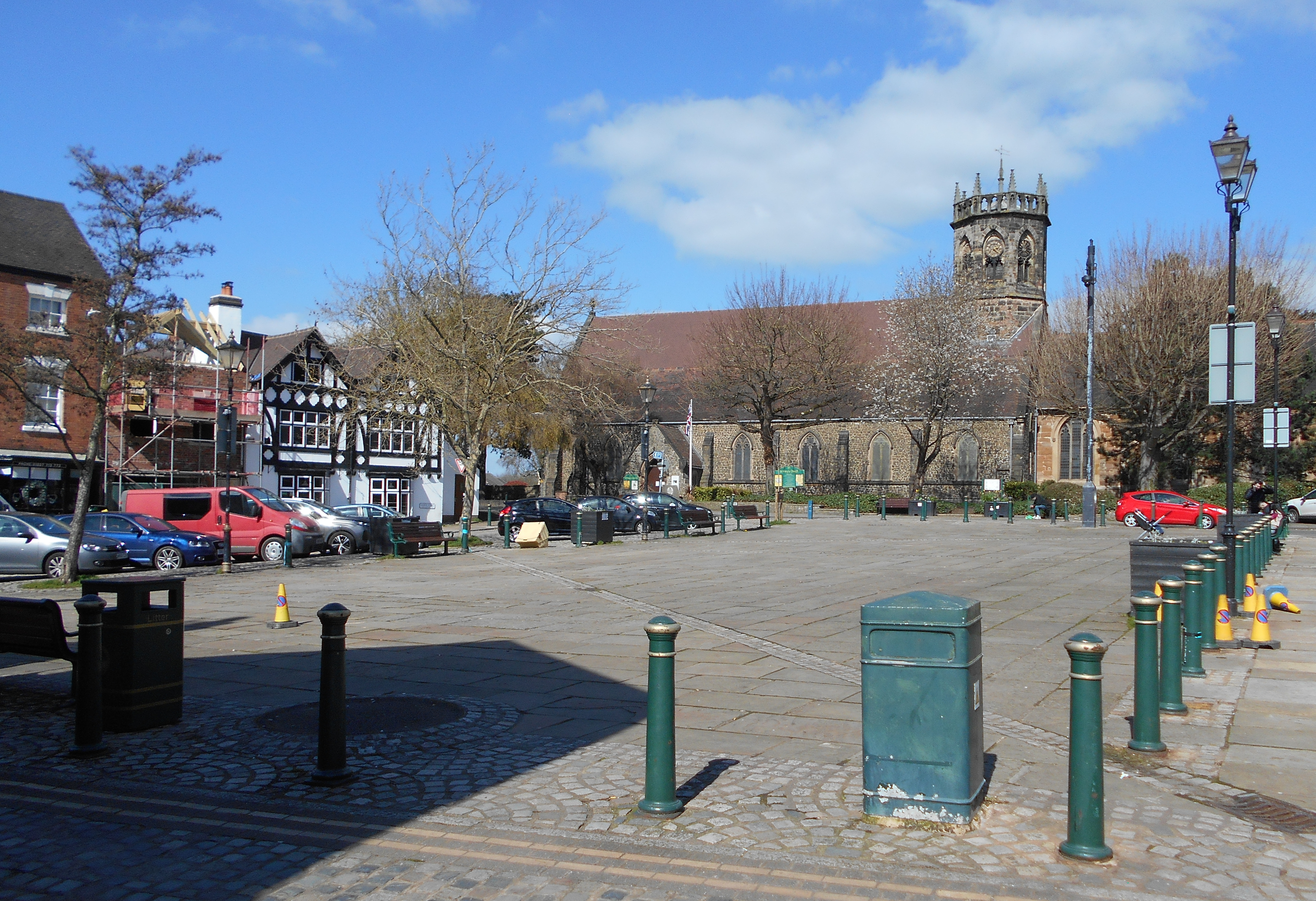
The town has a long history dating back to Roman times, with evidence of a Roman settlement discovered in the area. Throughout the centuries, Atherstone has been a thriving market town, known for its livestock market which still operates today. The town's market square is a focal point for locals and visitors alike, offering a variety of shops, cafes, and pubs.

Atherstone is home to several historical landmarks, including the Church of St. Mary, a Grade I listed building with a distinctive spire that dominates the town's skyline. Other notable landmarks include Atherstone Castle, a motte-and-bailey castle dating back to the Norman era, and the Atherstone Memorial Hall, a grand Edwardian building that hosts various community events.

The town has a strong sense of community and is known for its annual Shrove Tuesday Ball Game, a historic tradition that attracts hundreds of participants and spectators. Atherstone also hosts an annual carnival and a popular farmers' market.

With its location on the edge of the beautiful Warwickshire countryside, Atherstone offers opportunities for outdoor activities, such as walking and cycling. The nearby Atherstone Golf Club provides a scenic course for golf enthusiasts.

Accessible by road and rail, Atherstone provides a peaceful and picturesque setting for residents and visitors to enjoy the charm of a traditional English market town.

If you have any feedback on the listing, please let us know in the comments section below.
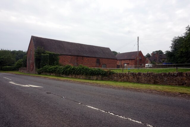
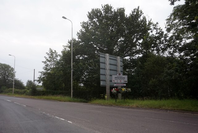
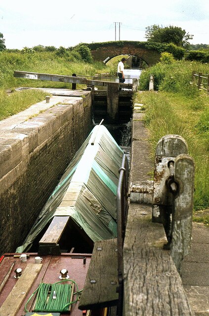
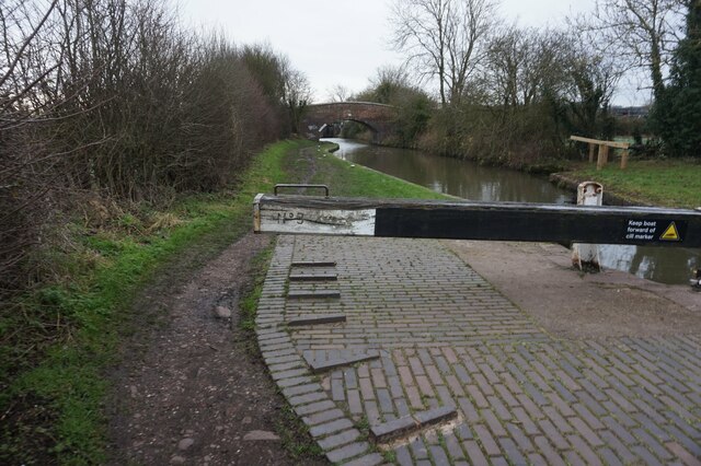
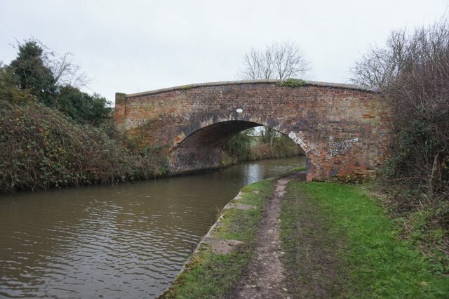
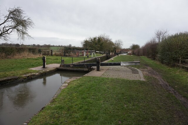
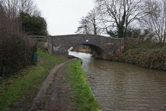
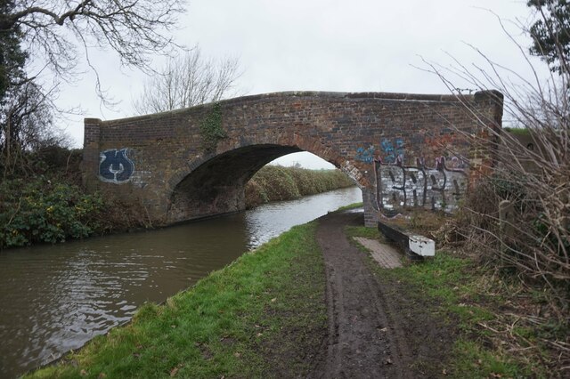
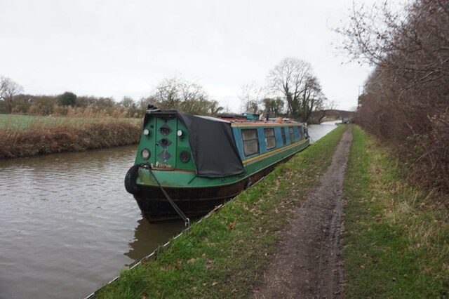
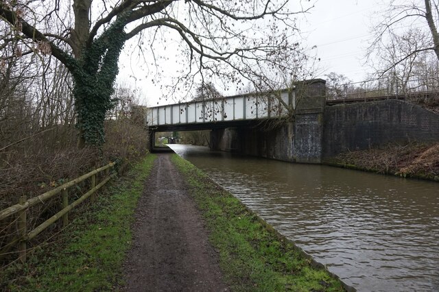
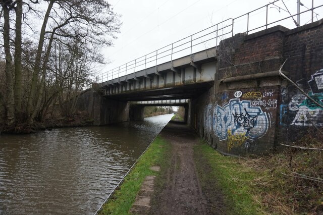
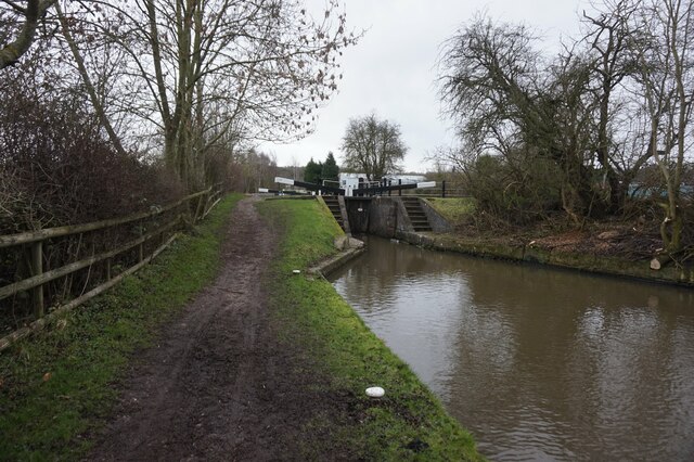
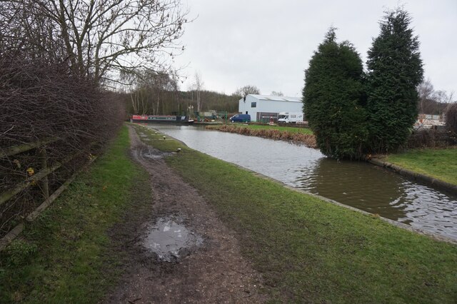
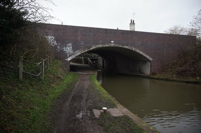
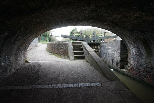
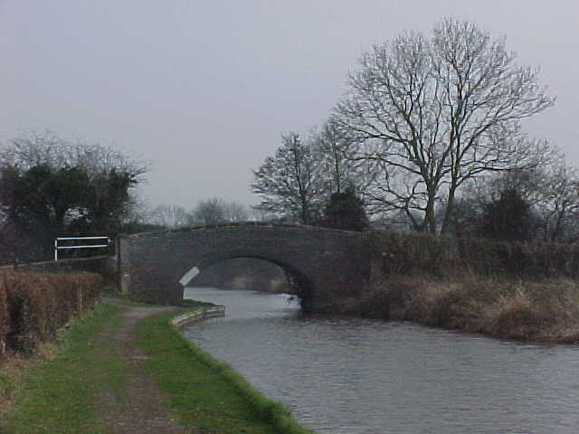
Atherstone Images

Images are sourced within 2km of 52.577219/-1.5464247 or Grid Reference SP3097. Thanks to Geograph Open Source API. All images are credited.

Abbey Farm on Merevale Lane
B4116 Holly Lane, Atherstone
Atherstone Locks No.9 – 1978 Whittington Bridge No.46 in the background. This and the pair of locks are Listed Grade II as three separate Listings.
Atherstone Locks No.9 – 1978
Whittington Bridge No.46 in the background. This and the pair of locks are Listed Grade II as three separate Listings.
Coventry Canal towards bridge #46
Coventry Canal at Whittington Bridge, bridge #46
Coventry Canal at Atherstone Lock #8
Coventry Canal at Baddesley Bridge, bridge #45
Canal boat Pendragon, Coventry Canal
Coventry Canal at bridge #44A
Coventry Canal towards lock #7
Coventry Canal towards bridge #44
Coventry Canal at Kings Head Bridge,  bridge #44
Coventry Canal at Kings Head Bridge, bridge #44
Coventry Canal at Lock #6
Coventry Canal Near Baddesley Bridge, number 45.
Coventry Canal
Near Baddesley Bridge, number 45.
Parking area on Watling Street, Grendon
Show me another place!

Atherstone is located at Grid Ref: SP3097 (Lat: 52.577219, Lng: -1.5464247)

Administrative County: Warwickshire

District: North Warwickshire

Police Authority: Warwickshire

What 3 Words

///stub.circling.infuses. Near Atherstone, Warwickshire

Related Wikis

North Warwickshire

North Warwickshire is a local government district with borough status in the ceremonial county of Warwickshire, West Midlands, England. The borough includes...

St Mary's Church, Atherstone

St. Mary's Church, Atherstone is a Grade II* listed parish church in Atherstone, Warwickshire, England.The stonework in the tower is in poor condition...

Atherstone

Atherstone is a market town and civil parish in the North Warwickshire district of Warwickshire, England. Located in the far north of the county, Atherstone...

Atherstone rail accident

The Atherstone rail accident happened near Atherstone railway station in the small hours of the morning of 16 November 1860, and killed 10 people. A special...

Atherstone railway station

Atherstone is a railway station serving the market town of Atherstone in Warwickshire, England. It is on the Trent Valley section of the West Coast Main...

Atherstone Priory

Atherstone Priory was a priory in Atherstone, Warwickshire, England. The first monastic site in Atherstone was an Augustinian friary founded in the centre...

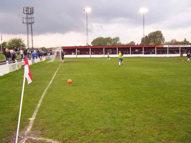
Atherstone Town F.C.

Atherstone Town Community Football Club is a football club based in Atherstone, Warwickshire, England. They are currently members of the Midland League...

Atherstone Rural District

Atherstone Rural District was located in the administrative county of Warwickshire, England, from 1894 to 1974. It was named after its main town and administrative...

Nearby Amenities

Located within 500m of 52.577219,-1.5464247
Bench
Backrest: yes
Colour: brown
Material: wood
Seats: 2
Lat/Long: 52.5783197/-1.549993
Atherstone
Is In County: Warwickshire
Place: town
Source: NPE
Wikidata: Q747778
Wikipedia: en:Atherstone
Lat/Long: 52.5772439/-1.5433954
Mini Roundabout
Direction: clockwise
Lat/Long: 52.5765355/-1.5439727
Mini Roundabout
Direction: clockwise
Lat/Long: 52.5757196/-1.5448099
Mini Roundabout
Direction: clockwise
Lat/Long: 52.5763455/-1.5472604
Heritage: 2
Heritage Operator: Historic England
Listed Status: Grade II
Seamark Type: gate
Waterway: lock_gate
Lat/Long: 52.5748125/-1.550383
Heritage: 2
Heritage Operator: Historic England
Listed Status: Grade II
Seamark Type: gate
Waterway: lock_gate
Lat/Long: 52.5755543/-1.5517553
Seamark Type: gate
Waterway: lock_gate
Lat/Long: 52.5767875/-1.5528544
Seamark Type: gate
Waterway: lock_gate
Lat/Long: 52.5778543/-1.5534042
Seamark Type: gate
Waterway: lock_gate
Lat/Long: 52.5780596/-1.5535139
Traffic Calming: table
Lat/Long: 52.574057/-1.5458841
Source: Warwicks CC Aerial Imagery 2013
Traffic Calming: table
Lat/Long: 52.5751347/-1.5432413
Restaurant
Tandoori and Balti
Cuisine: indian
Lat/Long: 52.5763863/-1.5430218
Restaurant
Oriental Chef
Cuisine: asian
Lat/Long: 52.5763277/-1.5428314
Pub
The Black Horse
Lat/Long: 52.5762168/-1.5424451
Pub
The Dolphin
Lat/Long: 52.576103/-1.5422219
Source: Warwicks CC Aerial Imagery 2013
Traffic Calming: table
Lat/Long: 52.5776717/-1.5444898
Direction: clockwise
Lat/Long: 52.578971/-1.5418882
Bus Stop
Bus Station
Bus: yes
Naptan AtcoCode: 4200F003400;4200F178702
Naptan CommonName: Bus Station
Naptan Indicator: Adj
Naptan Landmark: Bus Station
Naptan NaptanCode: waradaja;waradatd
Naptan Street: Station Street
Naptan Verified: no
Public Transport: platform
Source: naptan_import
Lat/Long: 52.5770214/-1.5481317
Bus Stop
Tannery Close
Bus: yes
Naptan AtcoCode: 4200F003800
Naptan Bearing: NW
Naptan CommonName: Tannery Close
Naptan Indicator: Adj
Naptan NaptanCode: waradjga
Naptan Street: North Street
Naptan Verified: no
Public Transport: platform
Source: naptan_import
Lat/Long: 52.5769725/-1.5421339
Bus Stop
A5 Bridge
Bus: yes
Naptan AtcoCode: 4200F155990
Naptan Bearing: S
Naptan BusStopType: CUS
Naptan CommonName: A5 Bridge
Naptan Indicator: Adj
Naptan NaptanCode: wardmawa
Naptan Street: Sheepy Road
Naptan Verified: no
Public Transport: platform
Source: naptan_import
Lat/Long: 52.5812153/-1.5466796
Bus Stop
Woolpack Way
Bus: yes
Naptan AtcoCode: 4200F176901
Naptan Bearing: NW
Naptan CommonName: Woolpack Way
Naptan Indicator: Opp
Naptan NaptanCode: waragwdw
Naptan Street: South Street
Naptan Verified: no
Public Transport: platform
Source: naptan_import
Lat/Long: 52.5757804/-1.5454223
Bus Stop
Welcome Street
Bus: yes
Naptan AtcoCode: 4200F177301
Naptan Bearing: NW
Naptan CommonName: Welcome Street
Naptan Indicator: Adj
Naptan NaptanCode: waragwgw
Naptan Street: Long Street
Naptan Verified: no
Public Transport: platform
Source: naptan_import
Lat/Long: 52.575945/-1.5421607
Bus Stop
Welcome Street
Bus: yes
Naptan AtcoCode: 4200F177302
Naptan Bearing: SE
Naptan CommonName: Welcome Street
Naptan Indicator: Opp
Naptan NaptanCode: waragwja
Naptan Street: Long Street
Naptan Verified: no
Public Transport: platform
Source: naptan_import
Lat/Long: 52.576016/-1.5421228
Bus Stop
Long Street
Bus: yes
Naptan AtcoCode: 4200F177401
Naptan Bearing: S
Naptan CommonName: Long Street
Naptan Indicator: Nr
Naptan NaptanCode: waragwjd
Naptan Street: Ratcliffe Street
Public Transport: platform
Source: naptan_import
Lat/Long: 52.5772688/-1.5447847
Bus Stop
Long Street
Bus: yes
Naptan AtcoCode: 4200F177402
Naptan Bearing: NE
Naptan CommonName: Long Street
Naptan Indicator: Jcn
Naptan NaptanCode: waragwjg
Naptan Street: Ratcliffe Street
Naptan Verified: no
Public Transport: platform
Source: naptan_import
Lat/Long: 52.5773068/-1.5449195
Bus Stop
Fire Station
Bus: yes
Naptan AtcoCode: 4200F177501
Naptan Bearing: SW
Naptan CommonName: Fire Station
Naptan Indicator: Adj
Naptan NaptanCode: waragwjm
Naptan Street: Ratcliffe Road
Naptan Verified: no
Public Transport: platform
Source: naptan_import
Lat/Long: 52.5790109/-1.5415371
Bus Stop
Windmill Road
Bus: yes
Naptan AtcoCode: 4200F177502
Naptan Bearing: NE
Naptan CommonName: Windmill Road
Naptan Indicator: Adj
Naptan NaptanCode: waratmgp
Naptan Street: Ratcliffe Road
Naptan Verified: no
Public Transport: platform
Source: naptan_import
Lat/Long: 52.5791285/-1.541713
Bus Stop
Milliners Court
Bench: no
Bin: no
Bus: yes
Lit: yes
Naptan AtcoCode: 4200F178601
Naptan Bearing: SW
Naptan CommonName: Milliners Court
Naptan Indicator: Opp
Naptan NaptanCode: waradapw
Naptan Street: Coleshill Road
Naptan Verified: no
Public Transport: platform
Shelter: no
Source: naptan_import
Tactile Paving: no
Lat/Long: 52.5756456/-1.54777
Bus Stop
Railway Station
Bus: yes
Naptan AtcoCode: 4200F178801
Naptan Bearing: W
Naptan CommonName: Railway Station
Naptan Indicator: Adj
Naptan NaptanCode: waradatj
Naptan Street: Long Street
Naptan Verified: no
Public Transport: platform
Shelter: no
Source: naptan_import
Lat/Long: 52.5785995/-1.5514733
Bus Stop
Railway Station
Bus: yes
Naptan AtcoCode: 4200F178802
Naptan Bearing: E
Naptan CommonName: Railway Station
Naptan Indicator: Opp
Naptan NaptanCode: waradatm
Naptan Street: Long Street
Naptan Verified: no
Public Transport: platform
Shelter: no
Source: naptan_import
Lat/Long: 52.5786987/-1.5514928
Pub
The Angel
Lat/Long: 52.5783786/-1.5467919
Cafe
The Old Bakery
Opening Hours: Mo-Sa 07:30-15:00
Phone: +44 1827 720 050
Lat/Long: 52.5772862/-1.5463062
Recycling
Recycling Cans: yes
Recycling Clothes: yes
Recycling Glass: yes
Recycling Paper: yes
Recycling Scrap Metal: yes
Lat/Long: 52.5758496/-1.5436007
Townhall
Old Bank House
Lat/Long: 52.5768077/-1.5452346
Cafe
Artigiano
Lat/Long: 52.5769862/-1.5452936
Pub
White Horse
Wikidata: Q26646873
Lat/Long: 52.5768712/-1.5454653
Recycling
Recycling Clothes: yes
Lat/Long: 52.5781662/-1.5512651
Restaurant
Happy Gathering
Cuisine: chinese
Lat/Long: 52.5781438/-1.5499204
Library
Warwickshire Library & Information Service
Opening Hours: Mo-Fr 08:30-20:00
Wikimedia Commons: File:Atherstone Library and Information Centre.jpg
Lat/Long: 52.5783564/-1.5495226
Restaurant
Raj Mahal
Cuisine: indian
Lat/Long: 52.5774759/-1.5475637
Atm
Cash In: no
Check Date: 2023-10-26
Operator: Nationwide
Lat/Long: 52.5776084/-1.5474798
Morrisons Daily
Brand: Morrisons Daily
Brand Wikidata: Q99752411
Opening Hours: Mo-Fr 05:00-20:00; Sa 06:00-20:00; Su 06:30-20:00
Operator: McColl's
Operator Wikidata: Q16997477
Shop: convenience
Website: https://my.morrisons.com/storefinder/66202/morrisons-daily-atherstone-long-street
Lat/Long: 52.5771057/-1.5463756
Bench
Backrest: yes
Colour: brown
Material: wood
Seats: 2
Lat/Long: 52.5780909/-1.546694
Bench
Backrest: yes
Colour: brown
Material: wood
Seats: 2
Lat/Long: 52.5783058/-1.5465309
Bench
Backrest: yes
Colour: brown
Material: wood
Seats: 2
Lat/Long: 52.5783532/-1.5463151
Fast Food
The Friendly Plaice
Cuisine: fish_and_chips
Lat/Long: 52.5761268/-1.5424055
Bank
New Way Credit Union
Atm: no
Opening Hours: Th,Fr 09:30-12:00
Lat/Long: 52.576175/-1.5423889
Dentist
Healthcare: dentist
Lat/Long: 52.5760653/-1.5429023
Shop: optician
Lat/Long: 52.5761005/-1.5429846
Pub
Wheatsheaf
Lat/Long: 52.5780544/-1.549568
Pub
The Clock
Operator: Stonegate
Operator Wikidata: Q7619176
Website: https://www.craftunionpubs.com/the-clock-pub-atherstone
Lat/Long: 52.5781928/-1.5493733
Taxi
Atherstone Taxis
Lat/Long: 52.5769018/-1.5476725
Post Box
Collection Times: Mo-Fr 18:45; Sa 12:15
Operator: Royal Mail
Post Box Apertures: 2
Post Box Type: pillar
Ref: CV9 1;CV9 7
Royal Cypher: EIIR
Royal Cypher Wikidata: Q33102113
Lat/Long: 52.5766052/-1.5468984
Taxi
Triple A Taxis
Addr City: Atherstone
Addr Housename: Data House
Addr Postcode: CV9 1BU
Addr Street: Station Street
Lat/Long: 52.5771912/-1.5475446
Post Box
Collection Times: Mo-Fr 17:00; Sa 12:00
Operator: Royal Mail
Post Box Type: pillar
Ref: CV9 39
Royal Cypher: GVIR
Royal Cypher Wikidata: Q33102169
Lat/Long: 52.5778395/-1.5484829
Fast Food
The Fish Inn
Cuisine: fish_and_chips
Lat/Long: 52.5778578/-1.5481981
Pub
Hat and Beaver
Lat/Long: 52.5765362/-1.5437025
Cafe
Winnie's Café
Lat/Long: 52.5765961/-1.5478955
Pub
The White Lion
Lat/Long: 52.5765478/-1.5477536
Claire's Hair and Beauty
Shop: hairdresser
Lat/Long: 52.5768057/-1.5486087
Female: yes
Male: yes
Shop: hairdresser
Lat/Long: 52.5778751/-1.548841
Barrier: cycle_barrier
Bicycle: dismount
Cycle Barrier: triple
Cycle Barrier Installation: fixed
Wheelchair: private
Wheelchair Description: RADAR Key needed to unlock
Lat/Long: 52.5743426/-1.549449
Post Office
Coleshill Road Post Office
Addr City: Atherstone
Addr Housenumber: 90
Addr Postcode: CV9 2AF
Addr Street: Coleshill Road
Brand: Post Office
Brand Wikidata: Q1783168
Opening Hours: Mo-We,Fr 08:30-17:30; Th 09:00-17:30; Sa 09:00-12:30
Ref Pol Id: 10525
Source: GPS Survey
Website: https://www.postoffice.co.uk/branch-finder/2652056/coleshill-road
Lat/Long: 52.5734906/-1.5502944
Post Box
Collection Times: Mo-Fr 17:15, Sa 12:00
Postal Code: CV9
Ref: CV9 41
Source: GPS Survey
Lat/Long: 52.5734181/-1.550161
The Grove Sports & Social Club
Leisure: social_club
Lat/Long: 52.575242/-1.5449024
North Warwickshire Citizens Advice Bureau
Lat/Long: 52.575776/-1.5426325
Post Box
Collection Times: Mo-Fr 09:00; Sa 07:00
Postal Code: CV9
Ref: CV9 32
Royal Cypher: EIIR
Source: GPS Survey
Lat/Long: 52.5751543/-1.5431096
Traffic Calming: bump
Lat/Long: 52.5748466/-1.5424841
Crossing
Crossing: zebra
Crossing Island: no
Kerb: lowered
Tactile Paving: yes
Lat/Long: 52.5764272/-1.5440963
Owen Street Community Arts Centre
Lat/Long: 52.5746712/-1.5470861
Crossing
Crossing: uncontrolled
Crossing Island: no
Crossing Markings: zebra
Tactile Paving: yes
Lat/Long: 52.5760744/-1.5463608
back-to-back housing
Historic: ruins
Lat/Long: 52.5772466/-1.5485503
Fast Food
Coleshill Road Chip Shop
Lat/Long: 52.5734911/-1.5498412
Mini Roundabout
Source: bing
Lat/Long: 52.5792912/-1.5471263
Crossing
Crossing: uncontrolled
Crossing Markings: zebra
Source: bing
Lat/Long: 52.5765791/-1.54762
Source: Warwickshire_CC_ Aerial_Imagery_2013
Traffic Calming: hump
Lat/Long: 52.5773851/-1.5500522
Source: Warwickshire_CC_ Aerial_Imagery_2013
Traffic Calming: bump
Lat/Long: 52.5774195/-1.5509216
Crossing
Crossing: uncontrolled
Crossing Markings: zebra
Source: Warwickshire_CC_ Aerial_Imagery_2013
Lat/Long: 52.5774384/-1.5503217
Mini Roundabout
Direction: clockwise
Source: bing
Lat/Long: 52.5775291/-1.5506285
Give Way
Direction: forward
Lat/Long: 52.5783379/-1.5503602
Bus Station
Bus: yes
Public Transport: station
Lat/Long: 52.5769914/-1.5481619
Traffic Calming: table
Lat/Long: 52.5770434/-1.548854
Give Way
Source: Warwickshire_CC_ Aerial_Imagery_2013
Lat/Long: 52.5772076/-1.5428875
Source: Warwicks CC Aerial Imagery 2013
Traffic Calming: bump
Lat/Long: 52.5795214/-1.5426397
Source: Warwicks CC Aerial Imagery 2013
Traffic Calming: bump
Lat/Long: 52.5799865/-1.5457012
Source: Warwicks CC Aerial Imagery 2013
Traffic Calming: bump
Lat/Long: 52.5800393/-1.5441096
Traffic Calming: bump
Lat/Long: 52.5764418/-1.5406923
Bridge Code: D173/1
Maxheight: 4.4
Source: Warwickshire_OpenData
Lat/Long: 52.5782203/-1.5460224
Heritage: 2
Heritage Operator: Historic England
Listed Status: Grade II
Seamark Type: gate
Waterway: lock_gate
Lat/Long: 52.5746697/-1.55011
Heritage: 2
Heritage Operator: Historic England
Listed Status: Grade II
Seamark Type: gate
Waterway: lock_gate
Lat/Long: 52.5754056/-1.5514717
Seamark Type: gate
Waterway: lock_gate
Lat/Long: 52.5765863/-1.5527439
Waste Disposal
Atherstone Top Lock Rubbish Disposal
Access: permissive
Operator: Canal and River Trust
Waste: trash
Waterway: waste_disposal
Lat/Long: 52.5743724/-1.5498699
Atherstone
Naptan AtcoCode: 9100ATHRSTN
Network: National Rail
Network Website: https://www.nationalrail.co.uk/stations/ath/
Network Wikidata: Q26334
Public Transport: station
Railway: station
Ref Crs: ATH
Source: NPE
Wikidata: Q604337
Wikipedia: en:Atherstone railway station
Lat/Long: 52.5784071/-1.5522587
Public Transport: stop_position
Lat/Long: 52.5783931/-1.5523137
Public Transport: stop_position
Railway: stop
Train: yes
Lat/Long: 52.5783843/-1.5523575
Atherstone
Public Transport: stop_position
Railway: stop
Train: yes
Lat/Long: 52.578427/-1.5522125
Bicycle Parking
North Warwickshire BC
Bicycle Parking: wall_loops
Capacity: 4
Covered: no
Lat/Long: 52.5766839/-1.5447738
We Are Here
Artist Name: Justin Sanders
Artwork Type: mural
Source: survey
Start Date: 1998
Tourism: artwork
Lat/Long: 52.5774297/-1.5468011
Source: Warwickshire_CC_ Aerial_Imagery_2013
Traffic Calming: hump
Lat/Long: 52.5780367/-1.5505468
Source: Warwickshire_CC_ Aerial_Imagery_2013
Traffic Calming: bump
Lat/Long: 52.5778682/-1.5470828
Atherstone Ball Game
Artist Name: Michael Disley
Artwork Type: sculpture
Source: survey
Tourism: artwork
Lat/Long: 52.5775345/-1.5507945
Power: substation
Source: survey
Lat/Long: 52.5783393/-1.5509875
Man Made: surveillance
Source: survey
Lat/Long: 52.5783887/-1.5509672
Power: substation
Source: survey
Lat/Long: 52.5774493/-1.5483505
Telephone
Defibrillator
Booth: K6
Covered: booth
Defibrillator Location: inside red phone box, Market Place, Atherstone
Emergency: defibrillator
Heritage: 2
Heritage Operator: Historic England
Listed Status: Grade II
Source: visual survey;Warwicks CC Aerial Imagery 2013
Lat/Long: 52.5779124/-1.5465615
Give Way
Source: Warwickshire_CC_ Aerial_Imagery_2013
Lat/Long: 52.5760673/-1.5425912
Give Way
Lat/Long: 52.5764857/-1.5440293
Give Way
Lat/Long: 52.5765055/-1.5438831
Give Way
Lat/Long: 52.5765697/-1.5440781
Give Way
Source: Warwickshire_CC_ Aerial_Imagery_2013
Lat/Long: 52.5769202/-1.5451546
Man Made: surveillance
Source: survey
Lat/Long: 52.5774946/-1.5473639
Information: guidepost
Source: survey
Tourism: information
Lat/Long: 52.5774995/-1.5473984
Give Way
Lat/Long: 52.5733771/-1.5499972
Give Way
Lat/Long: 52.5736017/-1.549962
Man Made: surveillance
Source: survey
Lat/Long: 52.5765152/-1.5441849
Give Way
Source: survey
Lat/Long: 52.5782558/-1.5460636
Give Way
Source: survey
Lat/Long: 52.5783824/-1.5465386
Give Way
Source: Warwickshire_CC_ Aerial_Imagery_2013
Lat/Long: 52.5751021/-1.5432643
Source: Warwicks CC Aerial Imagery 2013
Traffic Calming: bump
Lat/Long: 52.5751368/-1.544185
Give Way
Source: Warwickshire_CC_ Aerial_Imagery_2013
Lat/Long: 52.575173/-1.5432158
Give Way
Source: Warwickshire_CC_ Aerial_Imagery_2013
Lat/Long: 52.5776548/-1.5444532
Give Way
Source: Warwickshire_CC_ Aerial_Imagery_2013
Lat/Long: 52.5776959/-1.5445402
Give Way
Source: Warwickshire_CC_ Aerial_Imagery_2013
Lat/Long: 52.5781159/-1.5412533
Give Way
Source: Warwickshire_CC_ Aerial_Imagery_2013
Lat/Long: 52.5781627/-1.5411613
Give Way
Lat/Long: 52.5747353/-1.5489031
Give Way
Lat/Long: 52.574763/-1.5486041
Give Way
Lat/Long: 52.5751134/-1.5482998
Give Way
Lat/Long: 52.5753643/-1.5439959
Give Way
Lat/Long: 52.575555/-1.5480853
Give Way
Lat/Long: 52.575917/-1.5393428
Traffic Calming: bump
Lat/Long: 52.5760764/-1.5397895
Traffic Calming: bump
Lat/Long: 52.577064/-1.542513
Source: survey
Tourism: artwork
Lat/Long: 52.5758657/-1.5415863
Heritage: 2
Heritage Operator: Historic England
Historic: milestone
Listed Status: Grade II
Lat/Long: 52.5772142/-1.5466268
Entrance: yes
Lat/Long: 52.5772256/-1.5466576
Leisure: fitness_centre
Lat/Long: 52.5768528/-1.5447991
Coral
Brand: Coral
Brand Wikidata: Q54621344
Brand Wikipedia: en:Coral (bookmaker)
Shop: bookmaker
Lat/Long: 52.5768104/-1.5446515
Crafty Corner
Opening Hours: Mo-Fr 09:30-16:30; Sa 09:00-17:00
Shop: craft
Lat/Long: 52.5774094/-1.5467463
Addr Housename: Post Office House
Office: yes
Lat/Long: 52.5771543/-1.5458693
Jenkins
Shop: hairdresser
Lat/Long: 52.5770223/-1.5454361
Keri Ann's
Addr City: Atherstone
Addr Housenumber: 99
Shop: chemist
Lat/Long: 52.5771967/-1.545998
The Hub
Office: educational_institution
Operator: Bromford
Lat/Long: 52.5770574/-1.5455608
Disused Shop: yes
Lat/Long: 52.5773206/-1.5464446
William Hill
Brand: William Hill
Brand Wikidata: Q4053147
Brand Wikipedia: en:William Hill (bookmaker)
Opening Hours: Mo-Th 08:30-18:30; Fr 08:00-20:00; Sa 08:00-20:00; Su 09:30-19:00
Shop: bookmaker
Lat/Long: 52.5773801/-1.5466431
Office: yes
Lat/Long: 52.5771038/-1.5456989
Drinks King
Shop: alcohol
Lat/Long: 52.5769004/-1.5455928
Garner Canning
Addr City: Atherstone
Addr Housenumber: 133
Addr Street: Long Street
Fax: +44 1827 717638
Office: lawyer
Phone: +44 1827 713543
Website: http://www.garnercanning.co.uk/locations/atherstone
Wikidata: Q26587164
Lat/Long: 52.5767115/-1.5448968
H&S Household
Shop: convenience
Lat/Long: 52.5770479/-1.5461466
Mark Webster & Company
Addr City: Atherstone
Addr Housenumber: 131
Addr Postcode: CV9 1AD
Addr Street: Long Street
Email: atherstone@markwebsterandco.co.uk
Office: estate_agent
Website: http://www.markwebsterandco.co.uk
Wikidata: Q26286293
Lat/Long: 52.5767543/-1.5450466
NFU Mutual
Office: insurance
Phone: +44 1827 717515
Lat/Long: 52.5770691/-1.5462432
Snob's Shoe Repairs
Craft: shoemaker
Shop: locksmith
Lat/Long: 52.5770349/-1.5461037
WorkForce
Addr City: Atherstone
Addr Housenumber: 113
Addr Postcode: CV9 1AB
Addr Street: Long Street
Email: info@workforceath.co.uk
Office: employment_agency
Phone: +44 1827 711700
Lat/Long: 52.5769998/-1.545975
Historic Name: H & S Pet and Garden Supplies
Shop: vacant
Lat/Long: 52.5769778/-1.5458892
Atm
Cash In: no
Check Date: 2023-10-29
Operator: Cash Zone
Lat/Long: 52.5769827/-1.545791
Source: Warwicks CC Aerial Imagery 2013
Traffic Calming: bump
Lat/Long: 52.5792455/-1.5459611
Source: Warwicks CC Aerial Imagery 2013
Traffic Calming: bump
Lat/Long: 52.5790479/-1.5435214
Source: Warwicks CC Aerial Imagery 2013
Traffic Calming: bump
Lat/Long: 52.5739412/-1.5442752
Source: Warwicks CC Aerial Imagery 2013
Traffic Calming: bump
Lat/Long: 52.5743863/-1.5438903
Source: Warwicks CC Aerial Imagery 2013
Traffic Calming: bump
Lat/Long: 52.5748301/-1.5434968
Source: Warwicks CC Aerial Imagery 2013
Traffic Calming: bump
Lat/Long: 52.5748385/-1.5444516
Source: Warwicks CC Aerial Imagery 2013
Traffic Calming: bump
Lat/Long: 52.574262/-1.5420799
Entrance: yes
Lat/Long: 52.57655/-1.5459882
Entrance: yes
Lat/Long: 52.5785916/-1.5464453
Source: Bing
Traffic Calming: cushion
Lat/Long: 52.5744567/-1.548167
Source: Bing
Traffic Calming: cushion
Lat/Long: 52.5739575/-1.5474738
Source: Bing
Traffic Calming: cushion
Lat/Long: 52.5731884/-1.5463848
Generator Method: photovoltaic
Generator Output Electricity: yes
Generator Source: solar
Generator Type: solar_photovoltaic_panel
Location: roof
Power: generator
Lat/Long: 52.575191/-1.5499735
Generator Method: photovoltaic
Generator Output Electricity: yes
Generator Source: solar
Generator Type: solar_photovoltaic_panel
Location: roof
Power: generator
Lat/Long: 52.5791811/-1.544424
Generator Method: photovoltaic
Generator Output Electricity: yes
Generator Source: solar
Generator Type: solar_photovoltaic_panel
Location: roof
Power: generator
Lat/Long: 52.579217/-1.5443382
Generator Method: photovoltaic
Generator Output Electricity: yes
Generator Source: solar
Generator Type: solar_photovoltaic_panel
Location: roof
Power: generator
Lat/Long: 52.5766499/-1.5396121
Generator Method: photovoltaic
Generator Output Electricity: yes
Generator Source: solar
Generator Type: solar_photovoltaic_panel
Location: roof
Power: generator
Lat/Long: 52.5791339/-1.5407346
Generator Method: photovoltaic
Generator Output Electricity: yes
Generator Source: solar
Generator Type: solar_photovoltaic_panel
Location: roof
Power: generator
Lat/Long: 52.5791127/-1.5405911
Generator Method: photovoltaic
Generator Output Electricity: yes
Generator Source: solar
Generator Type: solar_photovoltaic_panel
Location: roof
Power: generator
Lat/Long: 52.5760492/-1.5415688
Generator Method: photovoltaic
Generator Output Electricity: yes
Generator Source: solar
Generator Type: solar_photovoltaic_panel
Location: roof
Power: generator
Lat/Long: 52.5789269/-1.5449551
Whitehouse & Son Opticians
Shop: optician
Lat/Long: 52.5779912/-1.5493368
Entrance: yes
Lat/Long: 52.5774875/-1.5474584
postal box Flat 4 to 6
Lat/Long: 52.5763123/-1.5469896
Postal box Flat 1 to 3
Lat/Long: 52.5764142/-1.547026
Generator Method: photovoltaic
Generator Output Electricity: yes
Generator Source: solar
Generator Type: solar_photovoltaic_panel
Location: roof
Power: generator
Lat/Long: 52.5786946/-1.5430869
Generator Method: photovoltaic
Generator Output Electricity: yes
Generator Source: solar
Generator Type: solar_photovoltaic_panel
Location: roof
Power: generator
Lat/Long: 52.580331/-1.5485653
Generator Method: photovoltaic
Generator Output Electricity: yes
Generator Source: solar
Generator Type: solar_photovoltaic_panel
Location: roof
Power: generator
Lat/Long: 52.5798958/-1.5455036
Generator Method: photovoltaic
Generator Output Electricity: yes
Generator Source: solar
Generator Type: solar_photovoltaic_panel
Location: roof
Power: generator
Lat/Long: 52.573653/-1.5443006
Generator Method: photovoltaic
Generator Output Electricity: yes
Generator Source: solar
Generator Type: solar_photovoltaic_panel
Location: roof
Power: generator
Lat/Long: 52.5753035/-1.5404436
Waste Basket
Waste: dog_excrement
Lat/Long: 52.5743199/-1.5493898
Barrier: bollard
Bollard: fixed
Lat/Long: 52.5759089/-1.5465861
Barrier: bollard
Bollard: fixed
Lat/Long: 52.5760107/-1.5464917
Noexit: yes
Lat/Long: 52.5757202/-1.5469224
Access: private
Bottle: yes
Drinking Water: yes
Man Made: water_tap
Lat/Long: 52.5758203/-1.5468633
Waste Basket
Waste: dog_excrement
Lat/Long: 52.5740038/-1.5488668
Sanitary Dump Station
Atherstone Top Lock Elsan Point
Access: permissive
Centralkey: no
Operator: Canal and River Trust
Outdoor: yes
Sanitary Dump Station: yes
Sanitary Dump Station Accepted: black_water
Sanitary Dump Station Basin: yes
Sanitary Dump Station Pump-out: no
Waste: toilet
Waterway: sanitary_dump_station
Lat/Long: 52.574415/-1.5498793
Water Point
Atherstone Top Lock Water Point
Access: permissive
Centralkey: crt_watermate
Drinking Water: yes
Man Made: water_tap
Note: When in the off position the tap handle blocks the door, so it cannot be locked.
Operator: Canal and River Trust
Waterway: water_point
Lat/Long: 52.5744677/-1.5500049
Water Point
Atherstone Top Lock Water Point
Access: permissive
Centralkey: crt_watermate
Drinking Water: yes
Man Made: water_tap
Note: When in the off position the tap handle blocks the door, so it cannot be locked.
Operator: Canal and River Trust
Waterway: water_point
Lat/Long: 52.5744472/-1.5498534
best-one
Opening Hours: Mo-Sa 06:00-20:00; Su 07:00-20:00
Shop: convenience
Lat/Long: 52.5734949/-1.5502042
Bank
Nationwide
Addr Housenumber: 78-80
Addr Street: Long Street
Brand: Nationwide
Brand Wikidata: Q846735
Lat/Long: 52.5776445/-1.5474439
The data included in this document is from www.openstreetmap.org. The data is made available under ODbL.

Have you been to Atherstone?

Leave your review of Atherstone below (or comments, questions and feedback).