Sarson Furze Down
Wood, Forest in Hampshire Test Valley
England
Sarson Furze Down
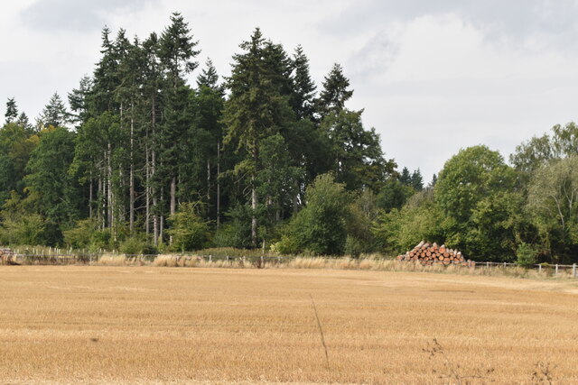
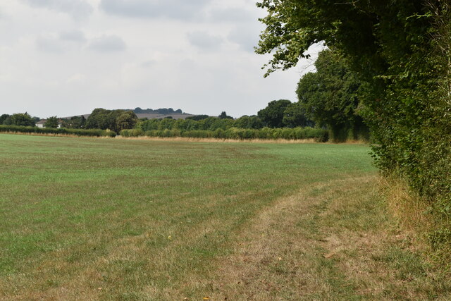
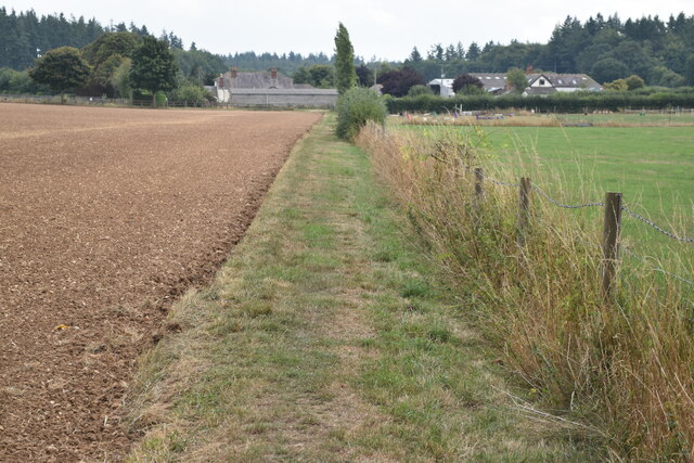
Sarson Furze Down, located in Hampshire, England, is a picturesque woodland area known for its natural beauty and rich biodiversity. Covering an expansive area, this forest is home to a diverse range of plant and animal species, making it a popular destination for nature enthusiasts and wildlife lovers.
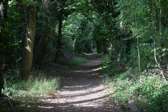
The woodland is predominantly composed of native British trees such as oak, beech, and birch, creating a dense and lush canopy that provides shelter and sustenance for various creatures. The forest floor is adorned with a carpet of wildflowers, adding to the enchanting atmosphere of the area.
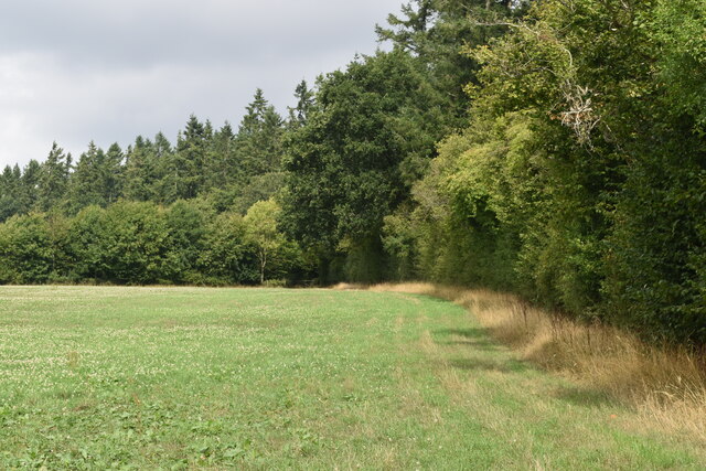
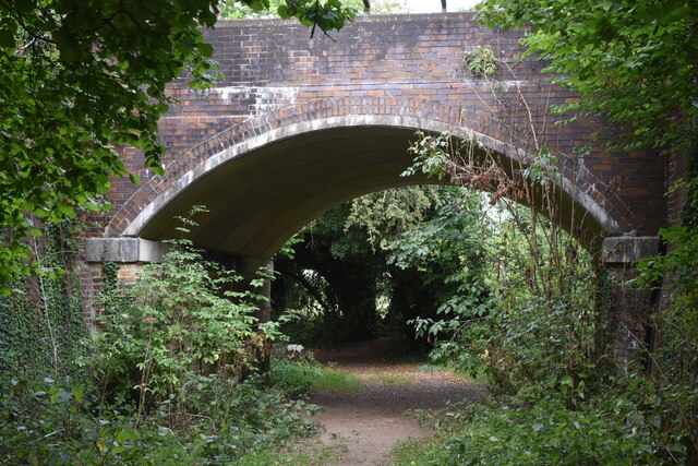
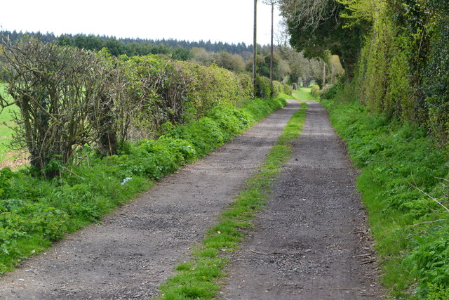
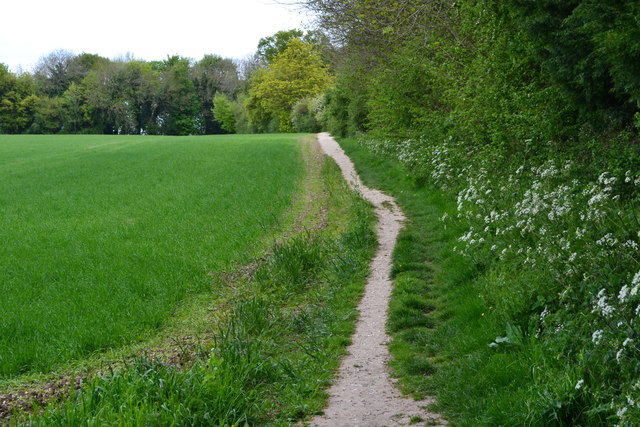
Sarson Furze Down offers numerous walking trails and paths, allowing visitors to explore the woodland at their own pace. These trails wind through the forest, offering glimpses of tranquil ponds, babbling brooks, and charming clearings where one can pause and admire the surroundings.
The area is teeming with wildlife, with sightings of deer, foxes, and a variety of bird species being common. Nature lovers can also spot smaller creatures such as squirrels, rabbits, and butterflies in abundance. Birdwatchers will be delighted by the opportunity to observe species such as woodpeckers, owls, and various songbirds that call Sarson Furze Down their home.
With its serene atmosphere, diverse flora and fauna, and well-maintained trails, Sarson Furze Down is a haven for those seeking solace in nature. Whether it is a leisurely walk, birdwatching, or simply appreciating the beauty of the natural world, this woodland in Hampshire offers an unforgettable experience for visitors of all ages.
If you have any feedback on the listing, please let us know in the comments section below.
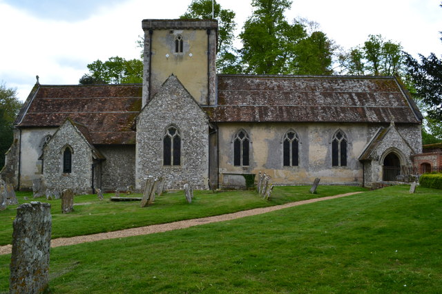
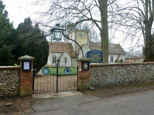
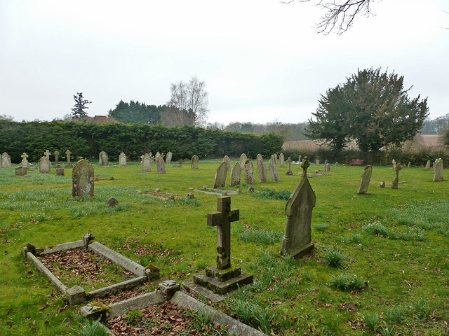
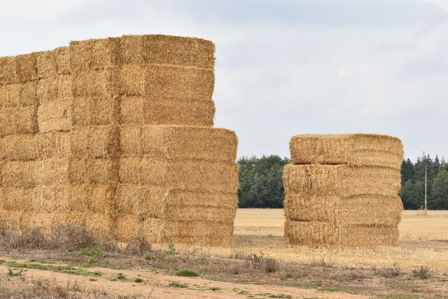
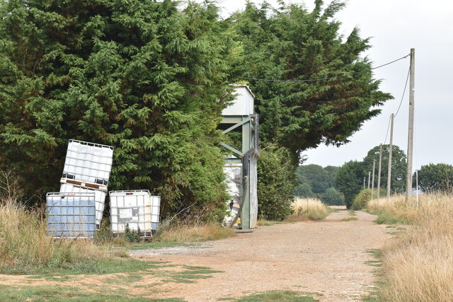
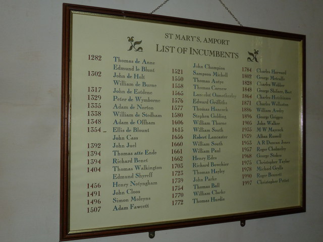
Sarson Furze Down Images
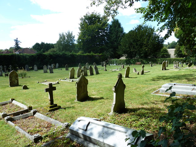
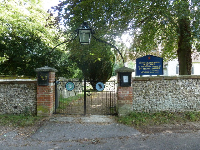
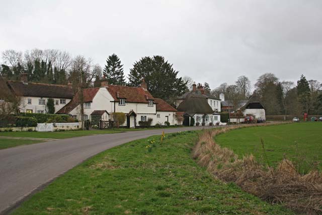
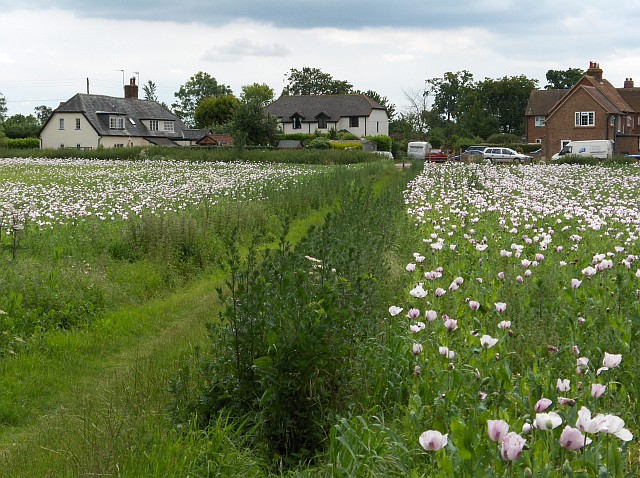
Images are sourced within 2km of 51.180541/-1.5709729 or Grid Reference SU3042. Thanks to Geograph Open Source API. All images are credited.
Sarson Furze Down is located at Grid Ref: SU3042 (Lat: 51.180541, Lng: -1.5709729)
Administrative County: Hampshire
District: Test Valley
Police Authority: Hampshire
What 3 Words
///markets.crossings.decks. Near Abbotts Ann, Hampshire
Nearby Locations
Related Wikis

Fox Amport
Fox is a hamlet in the civil parish of Amport in the Test Valley district of Hampshire, England. Its nearest town is Andover, which lies approximately...

Amport House
Amport House is a country house near the village of Amport, Andover, Hampshire, England. It is a Grade II listed building. The house was built in 1857...
Amport
Amport is a village and civil parish in the Test Valley district of Hampshire, England, a few miles west of Andover. It incorporates the small hamlet...

Monxton
Monxton is a village and civil parish in Hampshire, England. It lies 3 miles west of Andover near the A303 road. It had one pub, named the Black Swan,...

Grateley
Grateley is a village and civil parish in the north west of Hampshire, England. The name is derived from the Old English grēat lēah, meaning 'great wood...
East Cholderton
East Cholderton is a hamlet in the civil parish of Amport in the Test Valley district of Hampshire, England. Its nearest town is Andover which lies approximately...
Quarley
Quarley is a village and civil parish in the Test Valley district of Hampshire, England. It is about 7 mi (11 km) west of Andover and according to the...
Abbotts Ann Down
Abbotts Ann Down is a hamlet in Hampshire, England, within the civil parish of Abbotts Ann. The settlement lies on the A343 road and is approximately 3...
Have you been to Sarson Furze Down?
Leave your review of Sarson Furze Down below (or comments, questions and feedback).