Little Common
Downs, Moorland in Yorkshire
England
Little Common

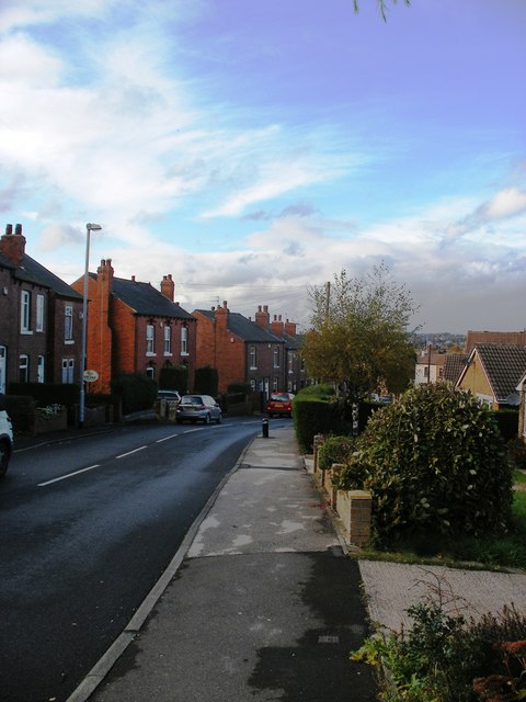
Little Common is a picturesque village located in the county of Yorkshire, England. Nestled amidst the stunning landscape of the Yorkshire Downs and Moorland, this small community offers a tranquil and idyllic setting for residents and visitors alike.
The village is characterized by its charming stone cottages, traditional architecture, and well-maintained gardens. The surrounding countryside is dominated by rolling hills, lush green fields, and vast open spaces, providing a haven for nature lovers and outdoor enthusiasts. Walking and hiking trails crisscross the area, offering breathtaking views of the surrounding moorland and countryside.
Little Common is known for its strong sense of community and welcoming atmosphere. The village boasts a range of amenities, including a local shop, post office, and a quaint village pub where locals gather to socialize and unwind. The nearby town of Yorkshire provides additional services, including schools, medical facilities, and shopping centers.
The area is rich in history and heritage, with several historic landmarks and attractions to explore. The picturesque ruins of an old abbey lie just a short distance away, offering a glimpse into the region's medieval past. Additionally, there are several archaeological sites in the surrounding area, providing insights into the area's ancient history.
Little Common truly embodies the charm and beauty of rural Yorkshire, offering a peaceful and scenic retreat for those seeking a slower pace of life. Whether it's enjoying the stunning natural surroundings, immersing oneself in the local community, or exploring the area's rich history, this village has something to offer everyone.
If you have any feedback on the listing, please let us know in the comments section below.
Little Common Images
Images are sourced within 2km of 53.650396/-1.5484597 or Grid Reference SE2917. Thanks to Geograph Open Source API. All images are credited.


Little Common is located at Grid Ref: SE2917 (Lat: 53.650396, Lng: -1.5484597)
Division: West Riding
Unitary Authority: Wakefield
Police Authority: West Yorkshire
What 3 Words
///patrol.pacemaker.exulted. Near Crigglestone, West Yorkshire
Nearby Locations
Related Wikis

Horbury Town F.C.
Horbury Town Football Club is a football club based in Horbury, West Yorkshire, England. They play at the Slazengers Sports Complex. == History == The...
Horbury Millfield Road railway station
Horbury Millfield Road railway station served the village of Horbury, West Yorkshire, England from 1927 to 1961 on the Manchester and Leeds Railway....
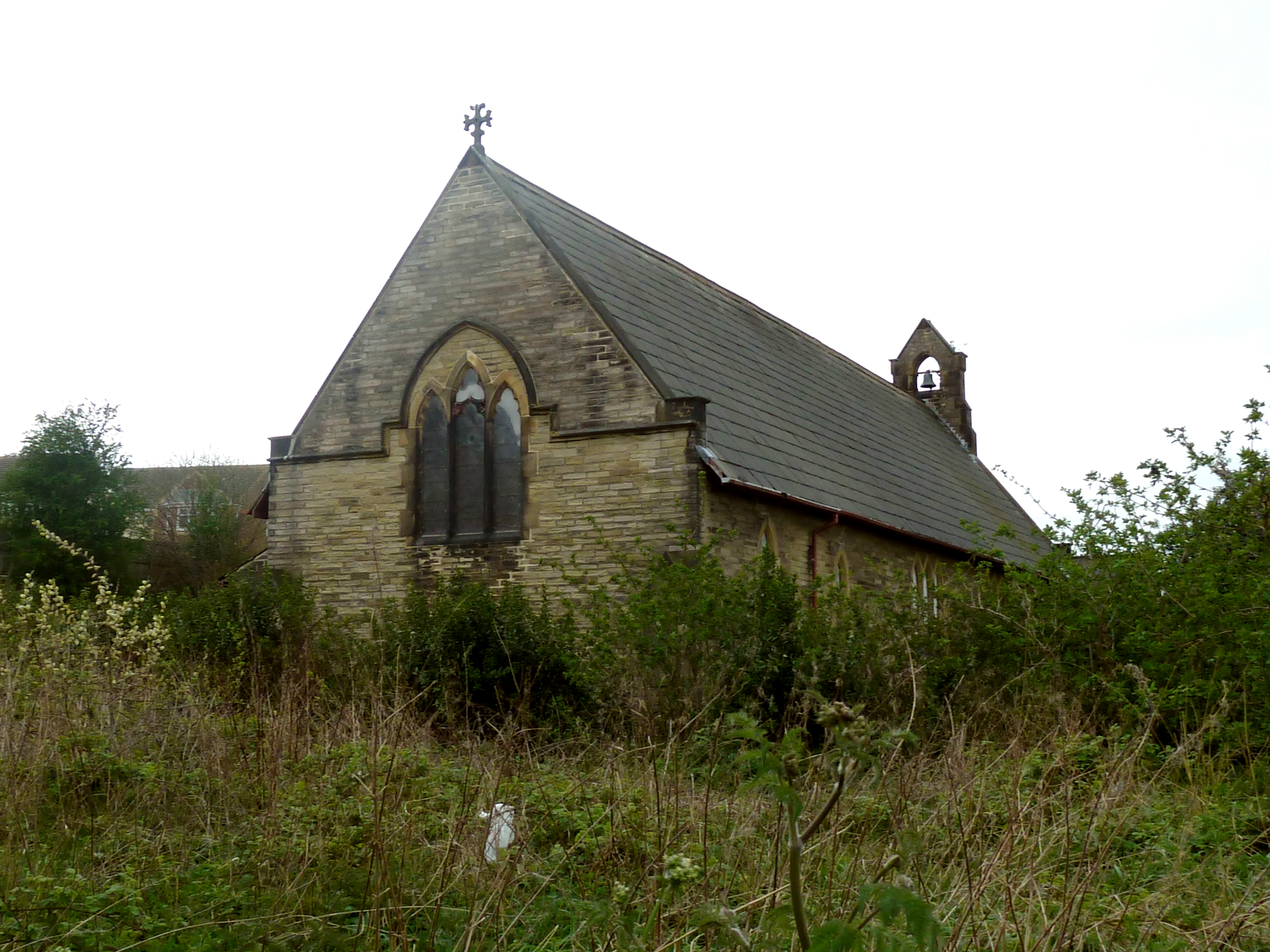
Church of St John the Divine, Calder Grove
The Church of St John the Divine, designed by William Swinden Barber, was built as a mission church in 1892–1893 in the parish of St James, Chapelthorpe...

Horbury
Horbury is a town in the City of Wakefield in West Yorkshire, England. Historically in the West Riding of Yorkshire, it is situated north of the River...
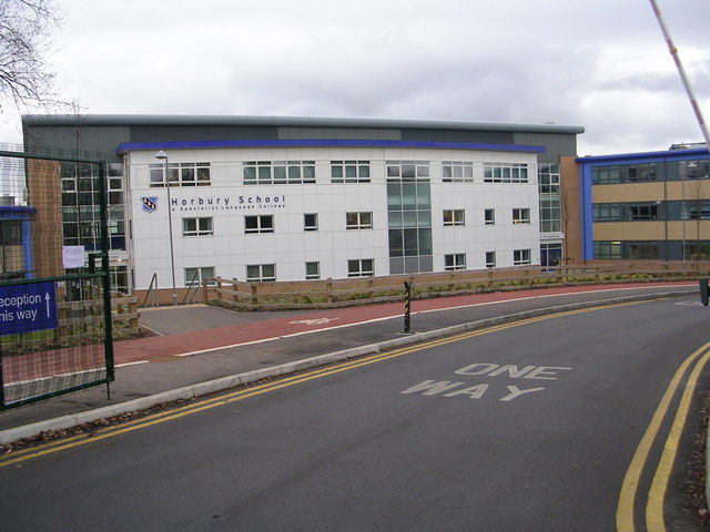
Horbury Academy
Horbury Academy (formerly Horbury School) is a mixed secondary school located in Horbury in the City of Wakefield, West Yorkshire, England.The school...
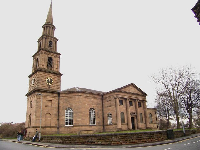
St Peter and St Leonard's Church, Horbury
St Peter and St Leonard's Church, Horbury is in Horbury, West Yorkshire, England. It is an active Church of England parish church and part of the Wakefield...
Durkar
Durkar is a small village in the southwestern suburbs of the City of Wakefield, West Yorkshire, England. The name 'Durkar' derives from the Norse drit...
Horbury Town Hall
Horbury Town Hall is a former municipal building in Westfield Road, Horbury, West Yorkshire, England. The structure, which is now used as business centre...
Nearby Amenities
Located within 500m of 53.650396,-1.5484597Have you been to Little Common?
Leave your review of Little Common below (or comments, questions and feedback).