The Wyke
Lake, Pool, Pond, Freshwater Marsh in Yorkshire
England
The Wyke

The Wyke is a picturesque freshwater wetland located in Yorkshire, England. Nestled amidst rolling hills and lush greenery, it is a natural haven for abundant aquatic life and a popular destination for nature enthusiasts. The Wyke is a combination of a lake, pool, pond, and freshwater marsh, making it a diverse ecosystem.
Covering an expansive area, the Wyke is characterized by its calm, shimmering waters that reflect the surrounding landscape. The lake portion of the wetland is relatively deep, providing a habitat for various species of fish, including perch, pike, and roach. Anglers are often seen lining its shores, casting their lines in anticipation of a catch.
The Wyke also features a pool, which is a shallower section of the wetland. This area is teeming with aquatic plants such as lilies and water hyacinths, creating a vibrant and colorful spectacle during the summer months. The pool serves as a breeding ground for amphibians like frogs and newts, attracting bird species that feed on them, such as herons and kingfishers.
Adjacent to the pool is a serene pond, bordered by reeds and rushes. This tranquil spot is a sanctuary for various waterfowl, including ducks and swans, which can often be seen gracefully gliding across the glassy surface. The pond is also home to a diverse range of invertebrates, such as dragonflies and water beetles.
Lastly, the Wyke boasts a sprawling freshwater marsh, which is characterized by its waterlogged soil and abundant vegetation. This marshland provides a vital habitat for numerous bird species, including reed warblers and moorhens. The marshland also acts as a natural water filter, purifying the water and enhancing the overall health of the ecosystem.
In conclusion, the Wyke in Yorkshire is a breathtaking amalgamation of a lake, pool, pond, and freshwater marsh, hosting a rich array of wildlife and offering visitors a serene and immersive experience in
If you have any feedback on the listing, please let us know in the comments section below.
The Wyke Images
Images are sourced within 2km of 53.650924/-1.5526145 or Grid Reference SE2917. Thanks to Geograph Open Source API. All images are credited.


The Wyke is located at Grid Ref: SE2917 (Lat: 53.650924, Lng: -1.5526145)
Division: West Riding
Unitary Authority: Wakefield
Police Authority: West Yorkshire
What 3 Words
///dorms.rooms.spurted. Near Horbury, West Yorkshire
Nearby Locations
Related Wikis

Horbury Town F.C.
Horbury Town Football Club is a football club based in Horbury, West Yorkshire, England. They play at the Slazengers Sports Complex. == History == The...
Horbury Millfield Road railway station
Horbury Millfield Road railway station served the village of Horbury, West Yorkshire, England from 1927 to 1961 on the Manchester and Leeds Railway....

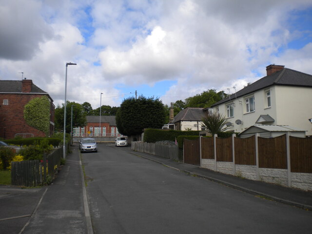
Horbury
Horbury is a town in the City of Wakefield in West Yorkshire, England. Historically in the West Riding of Yorkshire, it is situated north of the River...
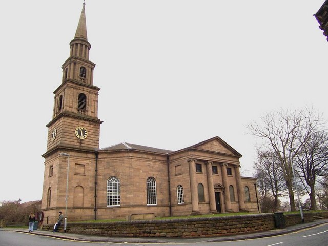
St Peter and St Leonard's Church, Horbury
St Peter and St Leonard's Church, Horbury is in Horbury, West Yorkshire, England. It is an active Church of England parish church and part of the Wakefield...
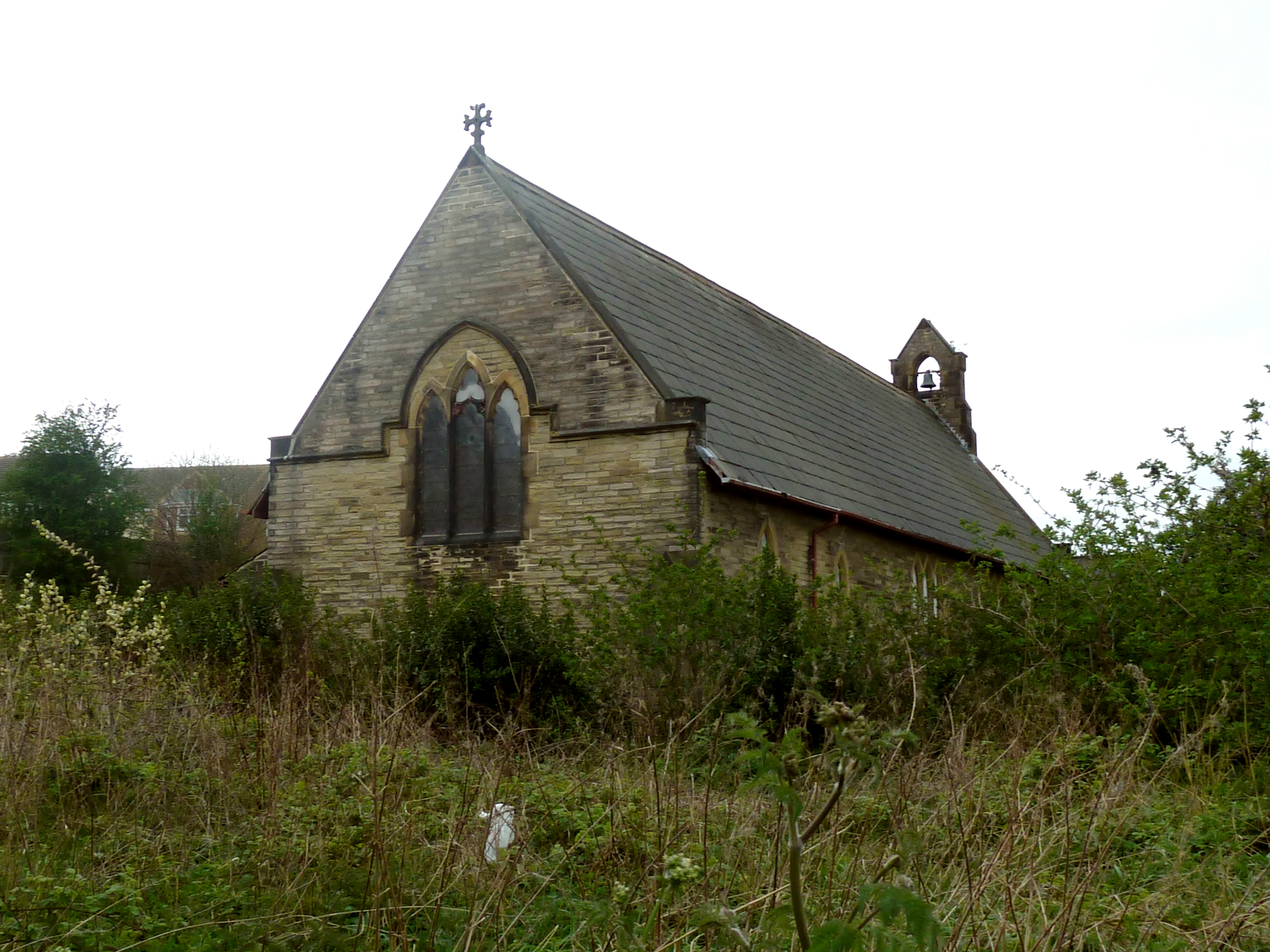
Church of St John the Divine, Calder Grove
The Church of St John the Divine, designed by William Swinden Barber, was built as a mission church in 1892–1893 in the parish of St James, Chapelthorpe...
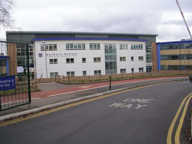
Horbury Academy
Horbury Academy (formerly Horbury School) is a mixed secondary school located in Horbury in the City of Wakefield, West Yorkshire, England.The school...
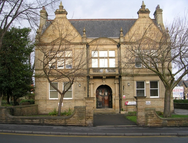
Horbury Town Hall
Horbury Town Hall is a former municipal building in Westfield Road, Horbury, West Yorkshire, England. The structure, which is now used as business centre...
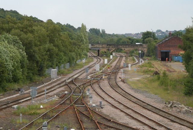
Horbury and Ossett railway station
Horbury and Ossett railway station formerly served the town of Horbury in West Yorkshire, England. It was located on the Manchester and Leeds Railway...
Nearby Amenities
Located within 500m of 53.650924,-1.5526145Have you been to The Wyke?
Leave your review of The Wyke below (or comments, questions and feedback).