Warwick Slade

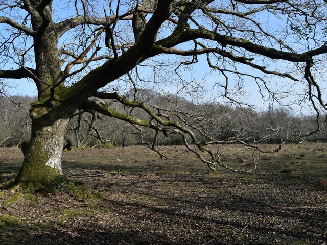
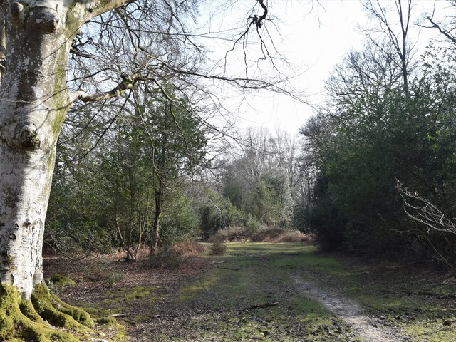
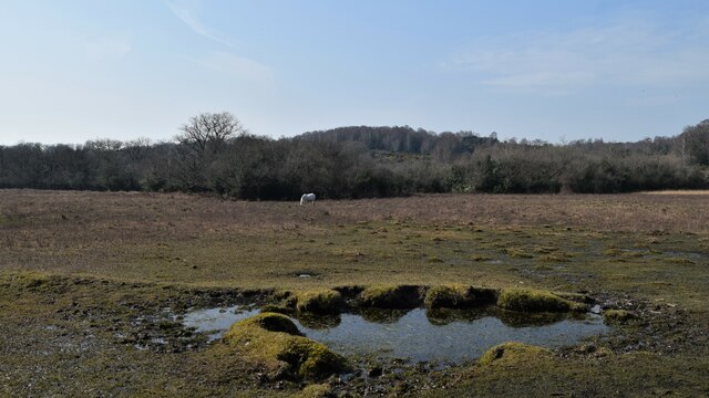
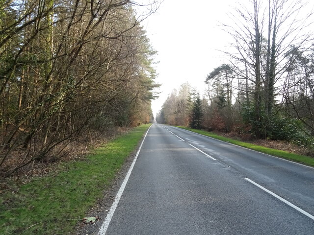
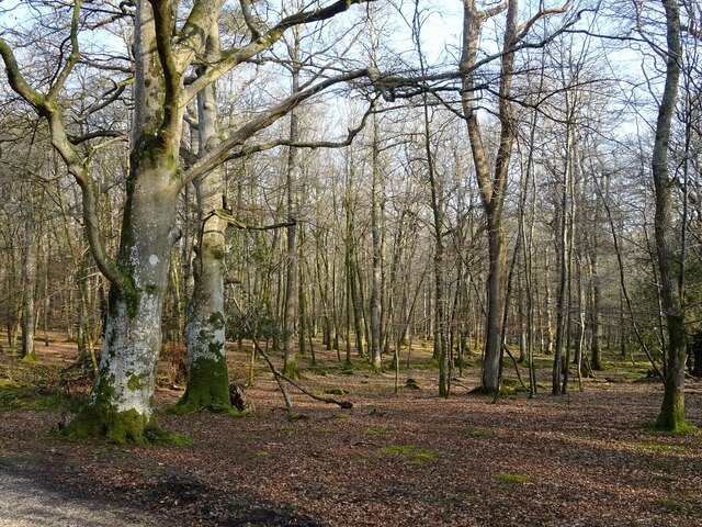
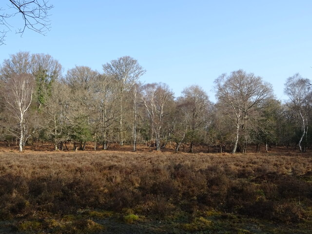
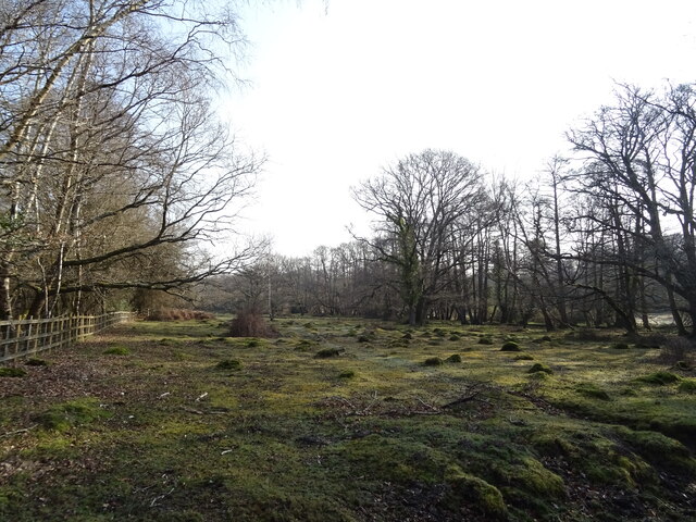
Downs, Moorland in Hampshire New Forest

England

Warwick Slade

Old oak and forest clearing
Old oak and forest clearing Credit: John Myers

Warwick Slade is a picturesque village located in the county of Hampshire, England. Situated on the southern edge of the South Downs National Park, this idyllic village offers breathtaking views of the surrounding countryside, including both downs and moorland.

The village of Warwick Slade is known for its charming and traditional architecture, with many historic buildings dating back several centuries. The local stone used in the construction of these buildings adds to the village's character and creates a sense of timeless beauty.

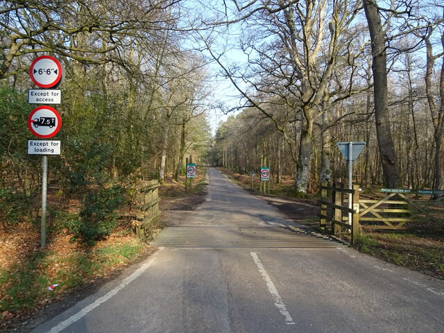
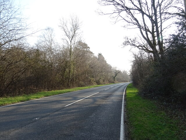
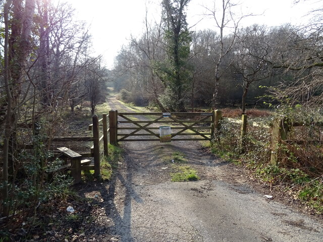
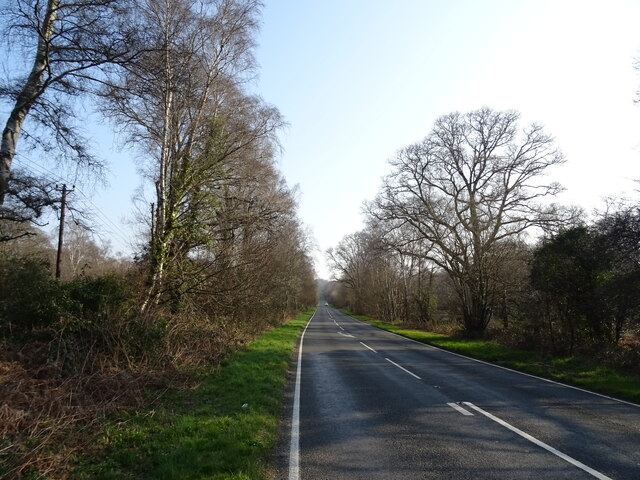
The downs and moorland surrounding Warwick Slade provide ample opportunities for outdoor activities such as hiking, cycling, and horseback riding. The South Downs Way, a long-distance footpath, passes through the village, making it a popular destination for walkers and nature enthusiasts.

The village is also home to a close-knit community that takes pride in its local heritage. The residents often organize events and festivals that celebrate the village's history and culture, creating a strong sense of belonging and community spirit.

In terms of amenities, Warwick Slade boasts a small but well-stocked village shop, a cozy pub serving traditional British fare, and a primary school that caters to the local children. For more extensive amenities, the larger town of Winchester is just a short drive away.

Overall, Warwick Slade offers a tranquil and picturesque setting, perfect for those seeking a peaceful countryside retreat or outdoor adventure. Its rich history, natural beauty, and strong sense of community make it a truly unique and desirable place to live or visit.

If you have any feedback on the listing, please let us know in the comments section below.

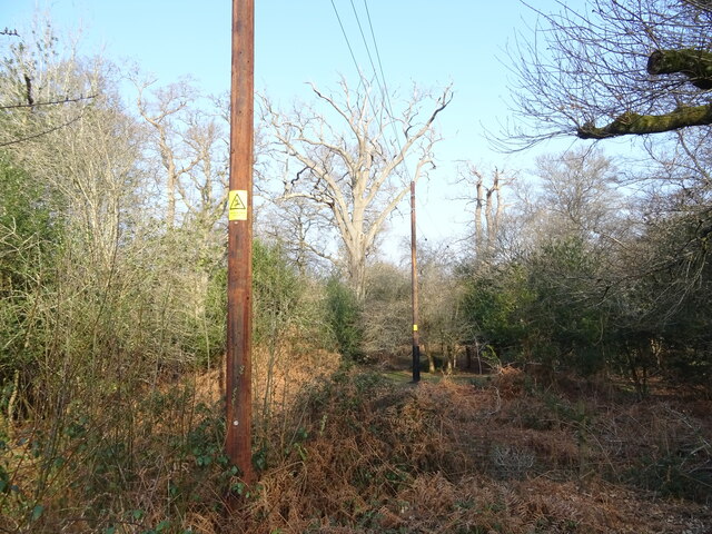
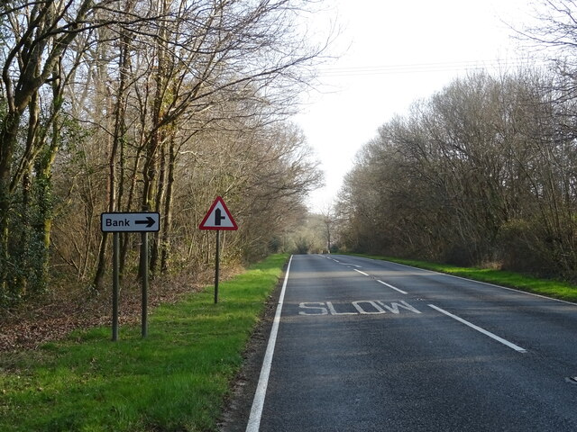
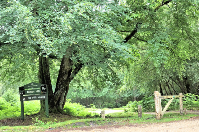
Warwick Slade Images

Images are sourced within 2km of 50.85993/-1.6171693 or Grid Reference SU2706. Thanks to Geograph Open Source API. All images are credited.

Old oak and forest clearing
Forest track South from James Hill car park
Forest track
South from James Hill car park
Pool and pony Rather boggy ground between Emery Down and Acres Down
Pool and pony
Rather boggy ground between Emery Down and Acres Down
The Tall Trees Trail South from the car park at Brock Hill
The Tall Trees Trail
South from the car park at Brock Hill
Pasture and woodland
Cattle grid on Lyndhurst Road approaching the A35
A35 towards Lyndhurst  The A35 is a major (and regularly congested) route along England's south coast. It runs for 97 miles, connecting Honiton in Devon with Southampton in Hampshire, via Poole and Bournemouth, with much of its route passing through Dorset and the New Forest. It is a trunk road for some of its length.
<span class="nowrap"><a title="http://www.sabre-roads.org.uk/wiki/index.php?title=A35" rel="nofollow ugc noopener" href="http://www.sabre-roads.org.uk/wiki/index.php?title=A35">Link</a><img style="margin-left:2px;" alt="External link" title="External link - shift click to open in new window" src="https://s1.geograph.org.uk/img/external.png" width="10" height="10"/></span>  SABRE
A35 towards Lyndhurst
The A35 is a major (and regularly congested) route along England's south coast. It runs for 97 miles, connecting Honiton in Devon with Southampton in Hampshire, via Poole and Bournemouth, with much of its route passing through Dorset and the New Forest. It is a trunk road for some of its length. LinkExternal link SABRE
New Forest woodland
New Forest woodland
Cattle grid on Bolderwood Arboretum Ornamental Drive
Crossroads on the A35 towards Lyndhurst  The A35 is a major (and regularly congested) route along England's south coast. It runs for 97 miles, connecting Honiton in Devon with Southampton in Hampshire, via Poole and Bournemouth, with much of its route passing through Dorset and the New Forest. It is a trunk road for some of its length.
<span class="nowrap"><a title="http://www.sabre-roads.org.uk/wiki/index.php?title=A35" rel="nofollow ugc noopener" href="http://www.sabre-roads.org.uk/wiki/index.php?title=A35">Link</a><img style="margin-left:2px;" alt="External link" title="External link - shift click to open in new window" src="https://s1.geograph.org.uk/img/external.png" width="10" height="10"/></span>  SABRE
Crossroads on the A35 towards Lyndhurst
The A35 is a major (and regularly congested) route along England's south coast. It runs for 97 miles, connecting Honiton in Devon with Southampton in Hampshire, via Poole and Bournemouth, with much of its route passing through Dorset and the New Forest. It is a trunk road for some of its length. LinkExternal link SABRE
Woodland, Warwick Slade
A35 towards Lyndhurst  The A35 is a major (and regularly congested) route along England's south coast. It runs for 97 miles, connecting Honiton in Devon with Southampton in Hampshire, via Poole and Bournemouth, with much of its route passing through Dorset and the New Forest. It is a trunk road for some of its length.
<span class="nowrap"><a title="http://www.sabre-roads.org.uk/wiki/index.php?title=A35" rel="nofollow ugc noopener" href="http://www.sabre-roads.org.uk/wiki/index.php?title=A35">Link</a><img style="margin-left:2px;" alt="External link" title="External link - shift click to open in new window" src="https://s1.geograph.org.uk/img/external.png" width="10" height="10"/></span>  SABRE
A35 towards Lyndhurst
The A35 is a major (and regularly congested) route along England's south coast. It runs for 97 miles, connecting Honiton in Devon with Southampton in Hampshire, via Poole and Bournemouth, with much of its route passing through Dorset and the New Forest. It is a trunk road for some of its length. LinkExternal link SABRE
Grazing beside the A35
Gated track to sewage works
A35 towards Lyndhurst  The A35 is a major (and regularly congested) route along England's south coast. It runs for 97 miles, connecting Honiton in Devon with Southampton in Hampshire, via Poole and Bournemouth, with much of its route passing through Dorset and the New Forest. It is a trunk road for some of its length.
<span class="nowrap"><a title="http://www.sabre-roads.org.uk/wiki/index.php?title=A35" rel="nofollow ugc noopener" href="http://www.sabre-roads.org.uk/wiki/index.php?title=A35">Link</a><img style="margin-left:2px;" alt="External link" title="External link - shift click to open in new window" src="https://s1.geograph.org.uk/img/external.png" width="10" height="10"/></span>  SABRE
A35 towards Lyndhurst
The A35 is a major (and regularly congested) route along England's south coast. It runs for 97 miles, connecting Honiton in Devon with Southampton in Hampshire, via Poole and Bournemouth, with much of its route passing through Dorset and the New Forest. It is a trunk road for some of its length. LinkExternal link SABRE
Powerlines and woodland near Bank
A35 near Bank The A35 is a major (and regularly congested) route along England's south coast. It runs for 97 miles, connecting Honiton in Devon with Southampton in Hampshire, via Poole and Bournemouth, with much of its route passing through Dorset and the New Forest. It is a trunk road for some of its length.
<span class="nowrap"><a title="http://www.sabre-roads.org.uk/wiki/index.php?title=A35" rel="nofollow ugc noopener" href="http://www.sabre-roads.org.uk/wiki/index.php?title=A35">Link</a><img style="margin-left:2px;" alt="External link" title="External link - shift click to open in new window" src="https://s1.geograph.org.uk/img/external.png" width="10" height="10"/></span>  SABRE
A35 near Bank
The A35 is a major (and regularly congested) route along England's south coast. It runs for 97 miles, connecting Honiton in Devon with Southampton in Hampshire, via Poole and Bournemouth, with much of its route passing through Dorset and the New Forest. It is a trunk road for some of its length. LinkExternal link SABRE
James Hill Car Park One of many visitors car parks in the New Forest.
James Hill Car Park
One of many visitors car parks in the New Forest.
Show me another place!

Warwick Slade is located at Grid Ref: SU2706 (Lat: 50.85993, Lng: -1.6171693)

Administrative County: Hampshire

District: New Forest

Police Authority: Hampshire

What 3 Words

///ruling.headlines.bunny. Near Lyndhurst, Hampshire

Related Wikis

New Forest

The New Forest is one of the largest remaining tracts of unenclosed pasture land, heathland and forest in Southern England, covering southwest Hampshire...

Knightwood Oak

The Knightwood Oak is a pedunculate oak and the largest, and perhaps most famous, oak tree in the New Forest, in southern England. It is also known as...

Allum Green

Allum Green is a hamlet southwest of Lyndhurst, Hampshire, England. During the night of 5/6 September 1940 it was the scene of a Luftwaffe bombing raid...

Portuguese Fireplace

The Portuguese Fireplace is a war memorial in the New Forest National Park, near the village of Lyndhurst, Hampshire, England. It is located on the road...

Bank, Hampshire

Bank is a village in the English county of Hampshire. The settlement is within the civil parish of Lyndhurst in the New Forest, and is located approximately...

Warwickslade Cutting Railway

The Warwickslade Cutting Railway was a light railway temporarily built to fill in the Warwickslade Cutting, a straight drainage ditch dug circa 1850 in...

Bolderwood, Hampshire

Bolderwood is an area of the New Forest in Hampshire. Bolderwood hosts a deer sanctuary with a public deer observation platform. As a result, the public...

Christ Church, Emery Down

Christ Church is a Church of England church in Emery Down, Hampshire, England. It was designed by William Butterfield and constructed in 1863–64. The church...

Nearby Amenities

Located within 500m of 50.85993,-1.6171693
Lcn Ref: 155
Lat/Long: 50.8633207/-1.6175811
Barrier: cattle_grid
Lat/Long: 50.8626809/-1.6171937
Barrier: stile
Lat/Long: 50.8564666/-1.6195786
Barrier: cattle_grid
Bicycle: yes
Foot: yes
Motorcar: yes
Motorcycle: yes
Lat/Long: 50.8582466/-1.6109627
Note: unsurveyed upstream from here
Lat/Long: 50.858555/-1.6210805
Note: unsurveyed upstream from here
Lat/Long: 50.8601851/-1.621626
Clay Ford
Ford: yes
Source: OS-OpenData_StreetView
Lat/Long: 50.8639067/-1.6154961
Ford: yes
Lat/Long: 50.8632918/-1.6156023
Drinking Water
Lat/Long: 50.8630574/-1.6182938
Tourism: picnic_site
Lat/Long: 50.8633147/-1.6180927
Great Dark Hat
Place: locality
Lat/Long: 50.8621397/-1.6212665
Little Dark Hat
Place: locality
Lat/Long: 50.860227/-1.6189249
Ford: yes
Lat/Long: 50.8626662/-1.6194117
The data included in this document is from www.openstreetmap.org. The data is made available under ODbL.

Have you been to Warwick Slade?

Leave your review of Warwick Slade below (or comments, questions and feedback).