Allumgreen Moor
Wood, Forest in Hampshire New Forest
England
Allumgreen Moor
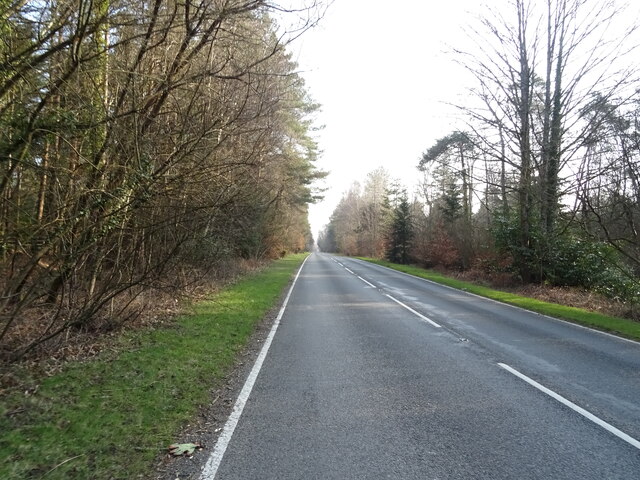
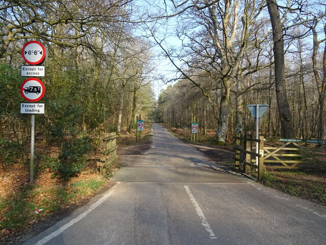
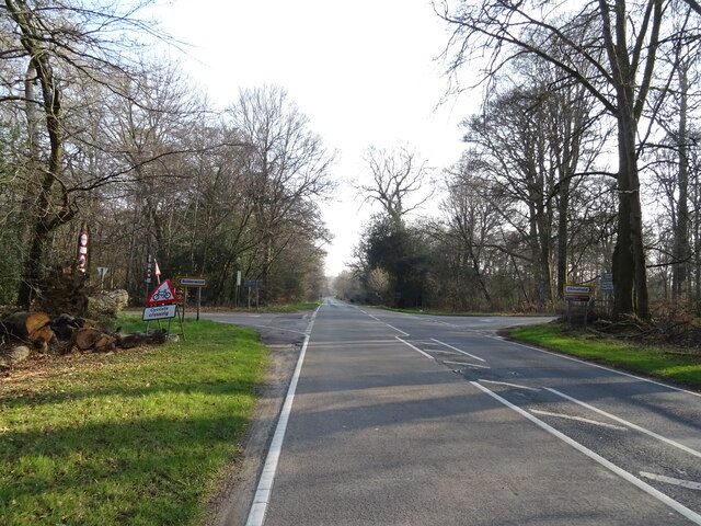
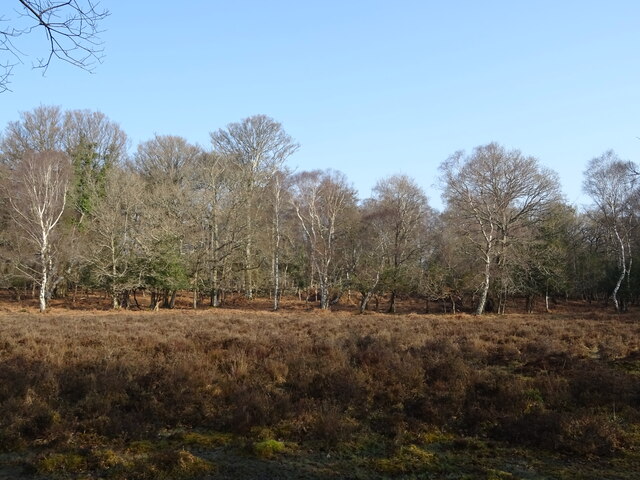
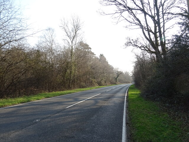
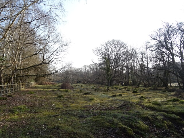
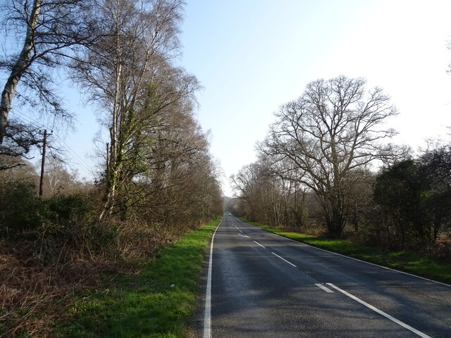
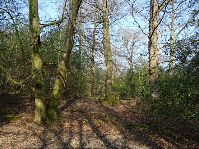
Allumgreen Moor is a picturesque woodland located in Hampshire, England. Covering a vast area, it is known for its diverse range of tree species and enchanting atmosphere. The moor is nestled in the heart of Hampshire, surrounded by rolling hills and breathtaking landscapes.
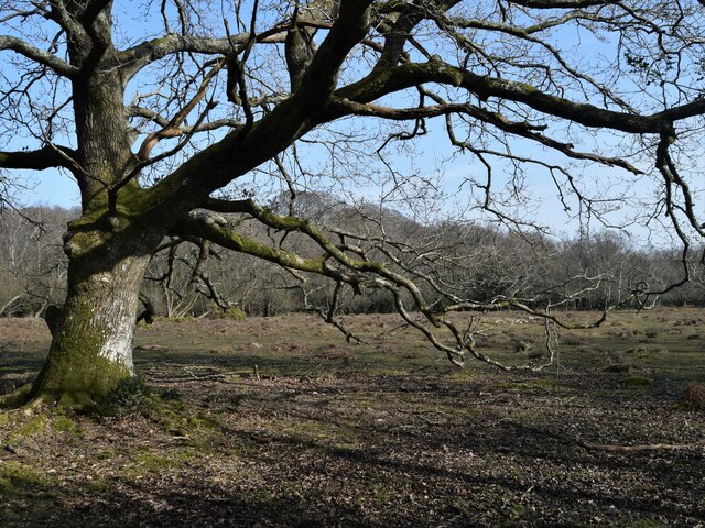
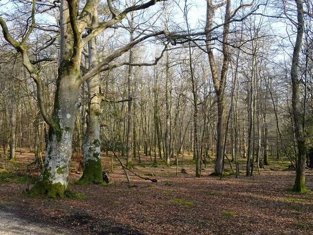
The woodland is home to a variety of tree species, including oak, beech, and birch, creating a vibrant and lush canopy that provides shade and shelter for numerous wildlife species. The forest floor is adorned with an array of wildflowers, adding to the beauty and charm of the area.
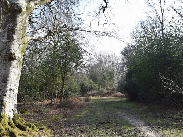
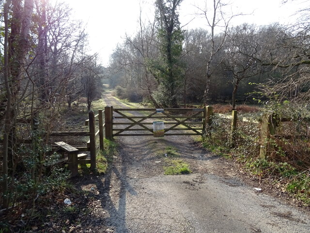
Allumgreen Moor is a popular destination for nature enthusiasts and outdoor lovers. It offers a multitude of recreational activities, such as hiking, birdwatching, and nature photography. The well-maintained trails wind through the forest, allowing visitors to explore the hidden corners and discover the natural wonders that lie within.
The moor is also rich in wildlife, providing a habitat for an abundance of species. Birdwatchers can spot various species of birds, including woodpeckers, owls, and finches. The forest is also home to mammals such as deer, foxes, and badgers, adding to the natural diversity of the area.
Visitors can enjoy a peaceful and tranquil experience in Allumgreen Moor, as it is relatively secluded from the hustle and bustle of urban life. The serenity of the woodland, combined with its natural beauty, makes it an ideal spot for relaxation and rejuvenation.
Overall, Allumgreen Moor is a captivating woodland that showcases the beauty of Hampshire's natural landscapes. With its diverse flora and fauna, it offers a wonderful escape for anyone seeking a connection with nature.
If you have any feedback on the listing, please let us know in the comments section below.
Allumgreen Moor Images
Images are sourced within 2km of 50.856544/-1.6050073 or Grid Reference SU2706. Thanks to Geograph Open Source API. All images are credited.


Allumgreen Moor is located at Grid Ref: SU2706 (Lat: 50.856544, Lng: -1.6050073)
Administrative County: Hampshire
District: New Forest
Police Authority: Hampshire
What 3 Words
///filer.financial.brambles. Near Lyndhurst, Hampshire
Nearby Locations
Related Wikis

Allum Green
Allum Green is a hamlet southwest of Lyndhurst, Hampshire, England. During the night of 5/6 September 1940 it was the scene of a Luftwaffe bombing raid...

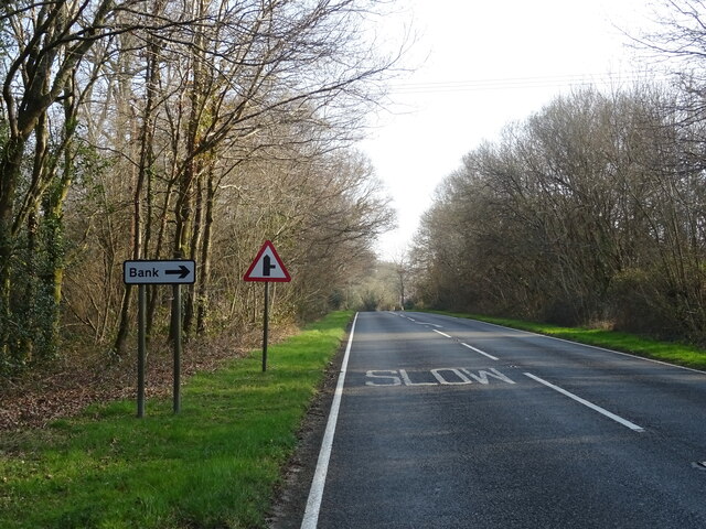
Bank, Hampshire
Bank is a village in the English county of Hampshire. The settlement is within the civil parish of Lyndhurst in the New Forest, and is located approximately...

New Forest
The New Forest is one of the largest remaining tracts of unenclosed pasture land, heathland and forest in Southern England, covering southwest Hampshire...

Knightwood Oak
The Knightwood Oak is a pedunculate oak and the largest, and perhaps most famous, oak tree in the New Forest, in southern England. It is also known as...

Warwickslade Cutting Railway
The Warwickslade Cutting Railway was a light railway temporarily built to fill in the Warwickslade Cutting, a straight drainage ditch dug circa 1850 in...

Portuguese Fireplace
The Portuguese Fireplace is a war memorial in the New Forest National Park, near the village of Lyndhurst, Hampshire, England. It is located on the road...

Christ Church, Emery Down
Christ Church is a Church of England church in Emery Down, Hampshire, England. It was designed by William Butterfield and constructed in 1863–64. The church...

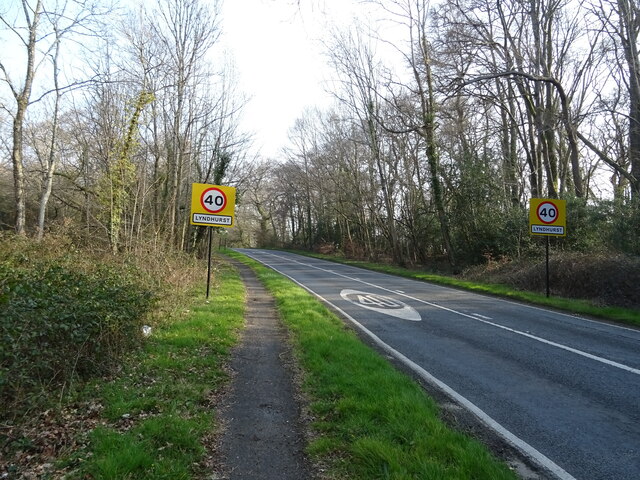
Lyndhurst, Hampshire
Lyndhurst is a large village and civil parish situated in the New Forest National Park in Hampshire, England, about nine miles (14 km) south-west of Southampton...
Nearby Amenities
Located within 500m of 50.856544,-1.6050073Have you been to Allumgreen Moor?
Leave your review of Allumgreen Moor below (or comments, questions and feedback).