Mary Lands
Downs, Moorland in Durham
England
Mary Lands

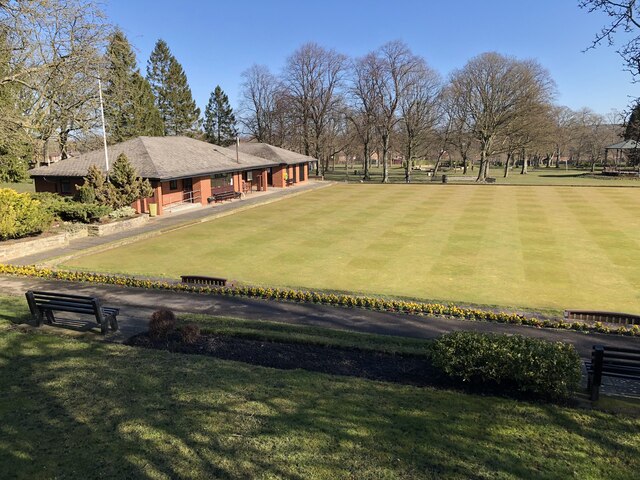
Mary Lands is a scenic area located in Durham, England. Nestled between Downs and Moorland, this picturesque region offers a serene and tranquil setting for both locals and visitors alike. The landscape of Mary Lands is characterized by rolling hills, lush green meadows, and enchanting woodlands.
The area is renowned for its natural beauty and is a popular destination for nature lovers and outdoor enthusiasts. Hiking and walking trails crisscross the region, providing an opportunity to explore the stunning surroundings and take in breathtaking views of the countryside. The diverse flora and fauna in Mary Lands make it a haven for wildlife, making it a perfect spot for birdwatching and nature photography.
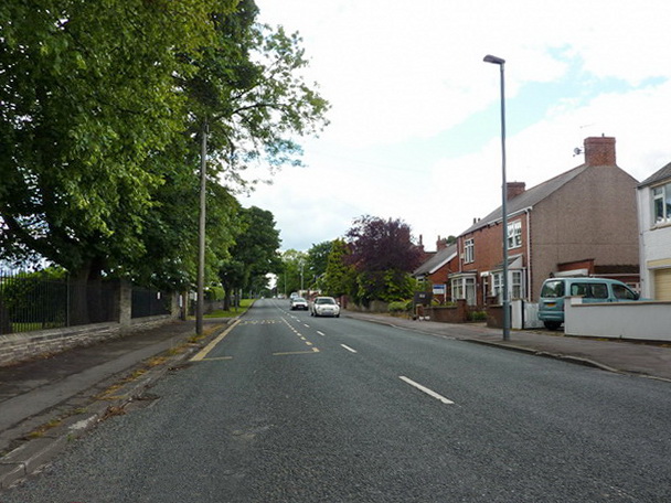
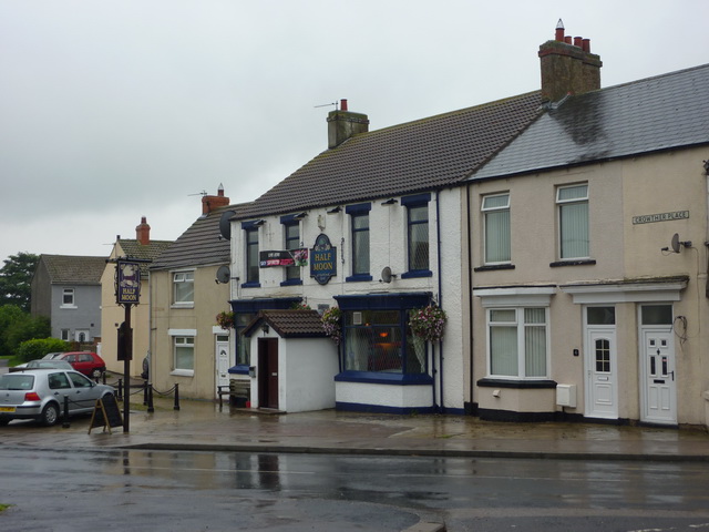
The peaceful ambiance of Mary Lands attracts those seeking a peaceful retreat from the hustle and bustle of city life. The area boasts a number of charming cottages and bed and breakfast accommodations, allowing visitors to fully immerse themselves in the idyllic countryside setting. The local community is warm and welcoming, making Mary Lands a popular choice for those looking to experience the genuine hospitality of Durham.
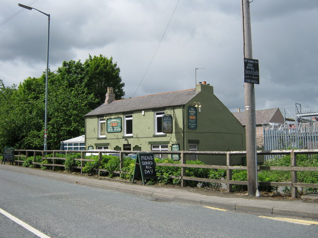
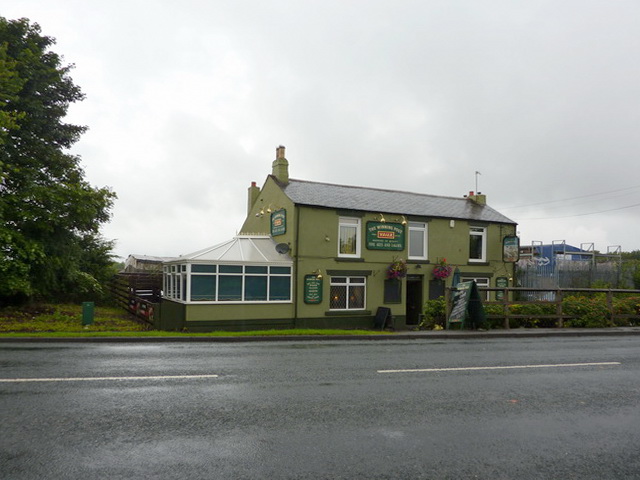
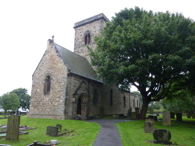
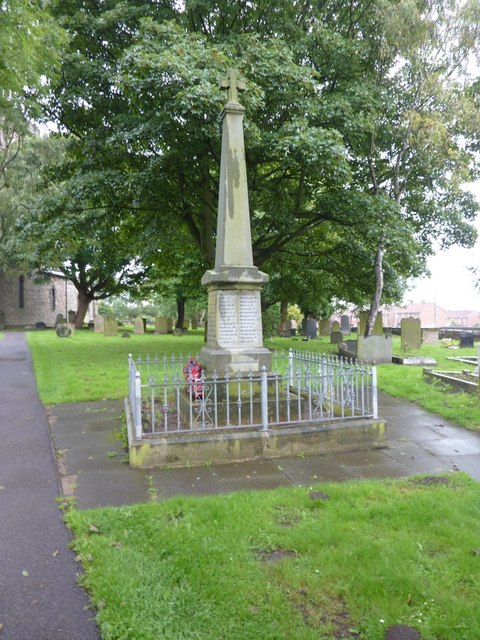
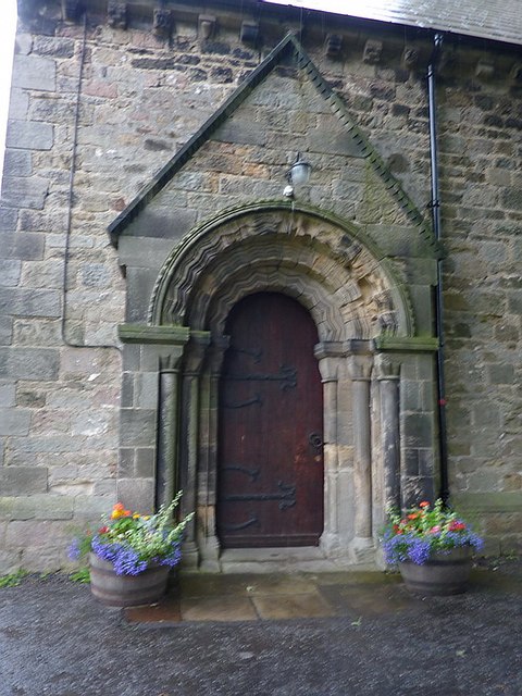
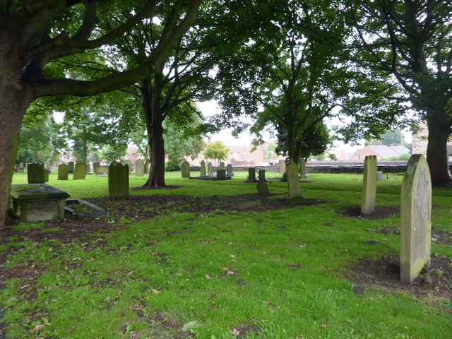
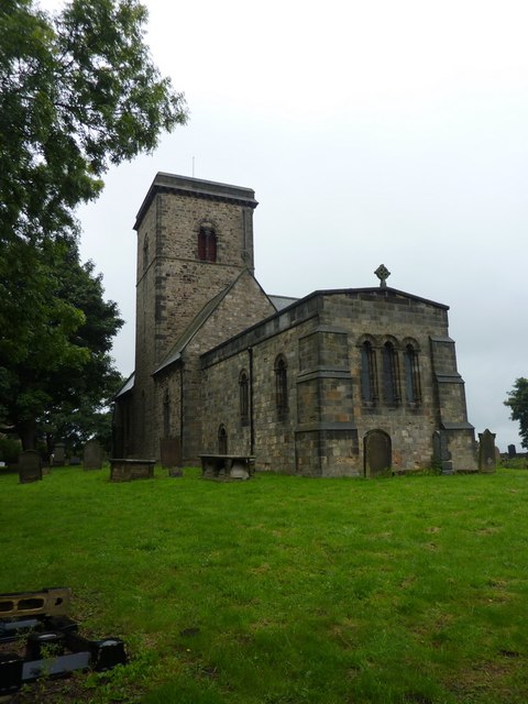
In addition to its natural beauty, Mary Lands is also home to a variety of historical and cultural attractions. Nearby landmarks include ancient ruins, historic churches, and traditional English pubs. Visitors can explore the rich history of the area and learn about its significance in the region.
Overall, Mary Lands, Durham (Downs, Moorland) is a delightful destination that offers a harmonious blend of natural beauty, outdoor activities, and cultural experiences. Whether you are seeking a peaceful retreat or an adventure in the great outdoors, this enchanting region has something for everyone.
If you have any feedback on the listing, please let us know in the comments section below.
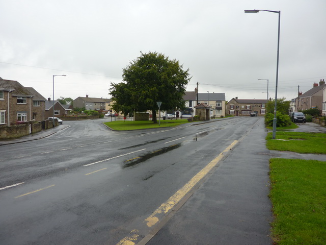
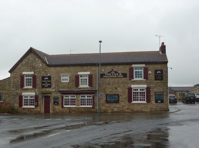
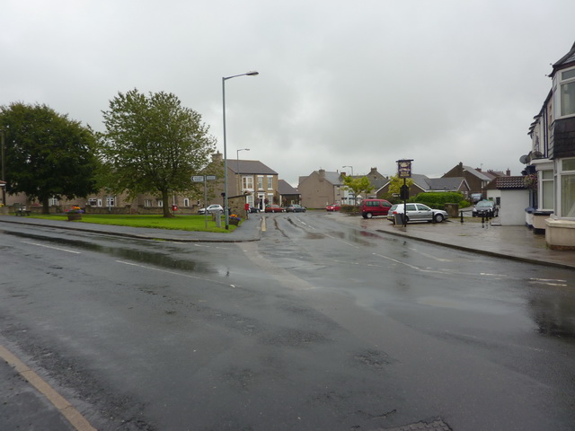
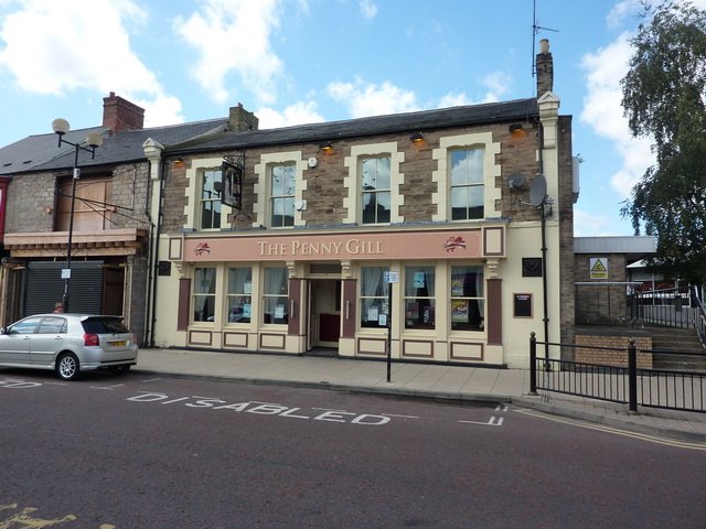
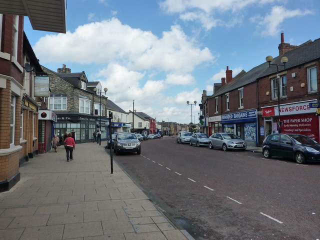
Mary Lands Images
Images are sourced within 2km of 54.690322/-1.5843432 or Grid Reference NZ2632. Thanks to Geograph Open Source API. All images are credited.

Mary Lands is located at Grid Ref: NZ2632 (Lat: 54.690322, Lng: -1.5843432)
Unitary Authority: County Durham
Police Authority: Durham
What 3 Words
///fidgeting.hedge.violin. Near Spennymoor, Co. Durham
Nearby Locations
Related Wikis

Ferryhill Business and Enterprise College
Ferryhill School (formerly Ferryhill Business And Enterprise College and before that Ferryhill Comprehensive School) is a coeducational secondary school...
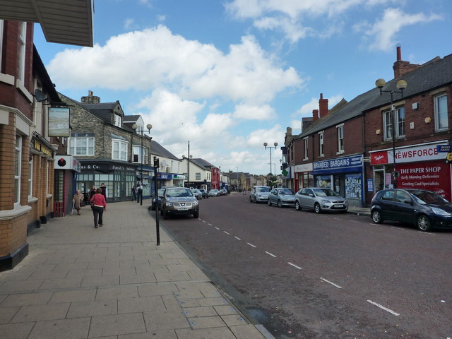
Spennymoor
Spennymoor is a town and civil parish in County Durham, England. It is south of the River Wear and is 7 mi (11 km) south of Durham. The civil parish includes...
North Close
North Close is a village in County Durham, England, between Spennymoor and Kirk Merrington to the south of Durham. == References == == External links... ==

Dean Bank
Dean Bank is situated on the west incline of Ferryhill, County Durham, in England. == References ==
Mount Pleasant, Spennymoor
Mount Pleasant is a village in County Durham, England. It is situated immediately to the north-east of Spennymoor, close to Tudhoe. == References ==
Spennymoor railway station
Spennymoor railway station served the town of Spennymoor, County Durham, England from 1845 to 1952 on the Byers Green Branch of the Clarence Railway....
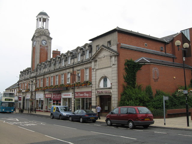
Spennymoor Town Hall
Spennymoor Town Hall is a municipal building in Spennymoor, County Durham, England. The town hall is the meeting place of Spennymoor Town Council. ��2...
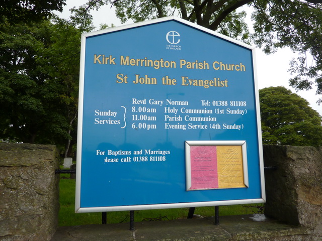
Kirk Merrington
Kirk Merrington is a village in County Durham, in England. It is situated between the towns of Bishop Auckland and Ferryhill. It is part of the Spennymoor...
Nearby Amenities
Located within 500m of 54.690322,-1.5843432Have you been to Mary Lands?
Leave your review of Mary Lands below (or comments, questions and feedback).