Bolton Moors

Downs, Moorland in Yorkshire Richmondshire

England

Bolton Moors

Village pump, Bolton-on-Swale This dates from c.1900. according to the listing details.
Village pump, Bolton-on-Swale Credit: Humphrey Bolton

Bolton Moors, located in the county of Yorkshire in England, is a picturesque area known for its unique landscape and natural beauty. It encompasses a combination of downs and moorland, offering a diverse range of habitats and stunning views.

The downs of Bolton Moors are characterized by their gently rolling hills and expansive grasslands. These open spaces are ideal for outdoor activities such as hiking, picnicking, and kite flying. Visitors can enjoy the tranquil atmosphere while taking in breathtaking vistas of the surrounding countryside.

In contrast, the moorland in Bolton Moors is a wilder and more rugged terrain. It is characterized by heather-covered hills, peat bogs, and scattered rocky outcrops. This moorland habitat supports a variety of wildlife, including red grouse, curlews, and golden plovers. Visitors can explore the moorland on foot, following designated trails and experiencing the unique sights and sounds of this untamed landscape.

Bolton Moors are also home to several notable landmarks. One such landmark is the Bolton Castle, a medieval fortress that has stood for over 600 years. The castle offers visitors a glimpse into the region's rich history and provides an opportunity to explore its well-preserved interior.

Additionally, the moors are dotted with ancient burial mounds, known as barrows, which date back thousands of years. These archaeological sites offer insights into the area's prehistoric past and are of great cultural and historical significance.

Overall, Bolton Moors in Yorkshire is a captivating destination that showcases the natural beauty and rich heritage of the region. Whether seeking outdoor adventures, historical exploration, or simply solace in nature, visitors are sure to find something to delight their senses in this breathtaking landscape.

If you have any feedback on the listing, please let us know in the comments section below.
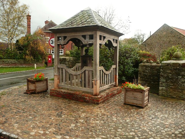
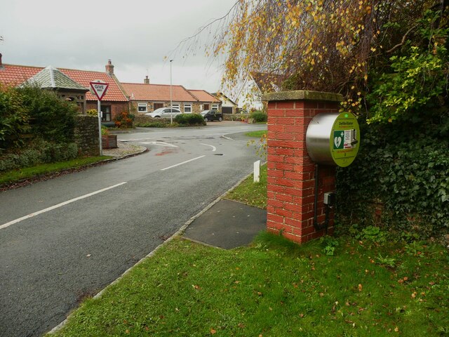
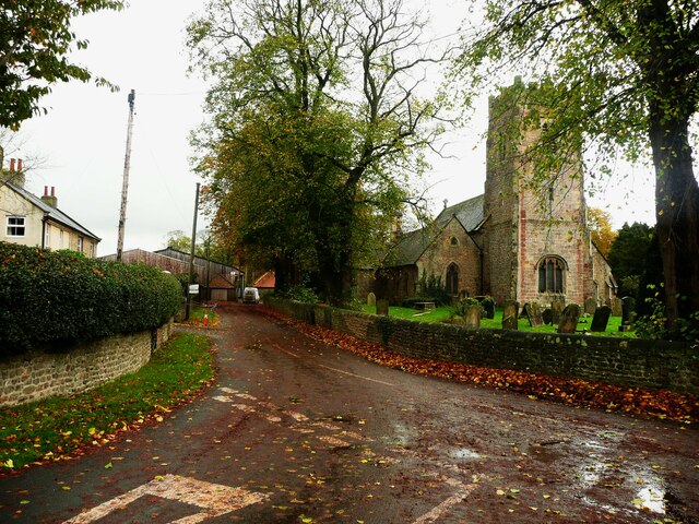
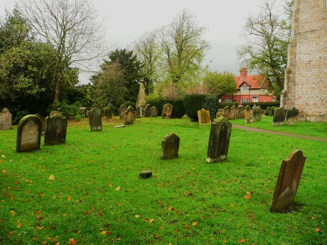
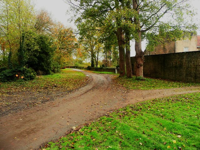
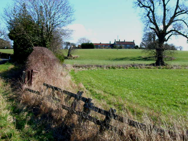
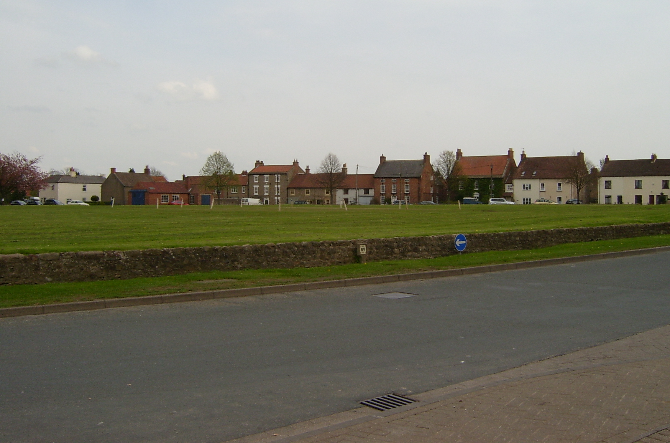
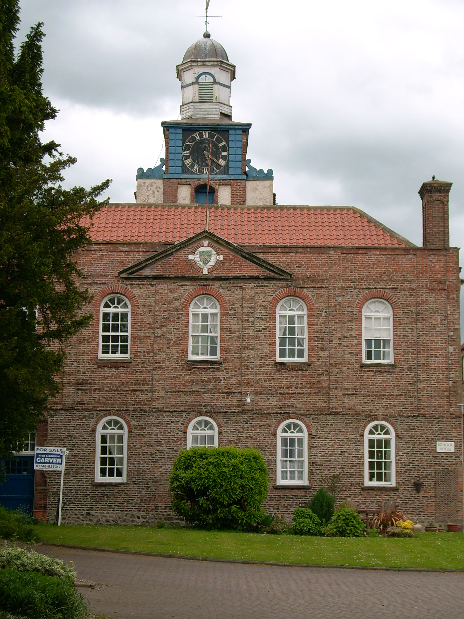
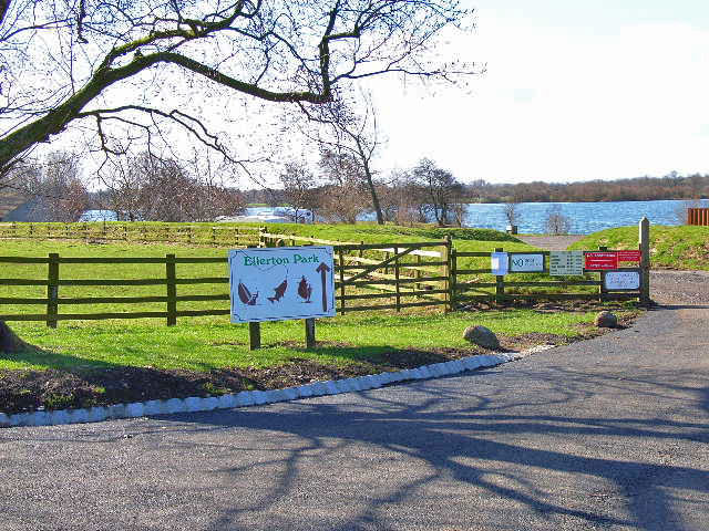
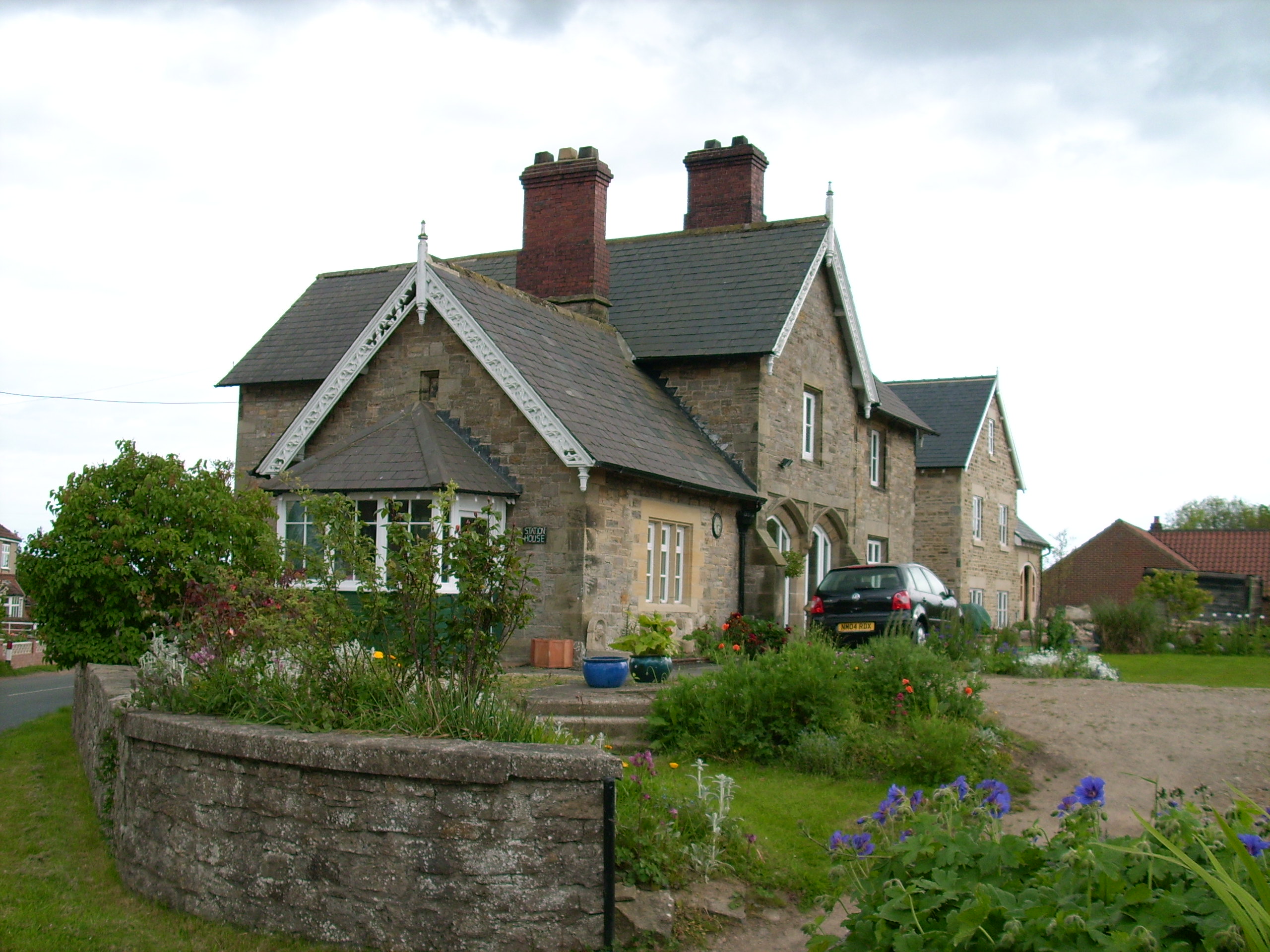
Bolton Moors Images

Images are sourced within 2km of 54.393718/-1.5868059 or Grid Reference SE2699. Thanks to Geograph Open Source API. All images are credited.

Village pump, Bolton-on-Swale This dates from c.1900. according to the listing details.
Village pump, Bolton-on-Swale
This dates from c.1900. according to the listing details.
Defibrillator, Bolton-on-Swale This is hidden from the road through the village by the pillar that it is fastened to. Perhaps this is to avoid casual drive-by vandalism.
Defibrillator, Bolton-on-Swale
This is hidden from the road through the village by the pillar that it is fastened to. Perhaps this is to avoid casual drive-by vandalism.
Lane and St Mary's Church, Bolton-on-Swale St Mary's is a medieval church restored in 1857.
Lane and St Mary's Church, Bolton-on-Swale
St Mary's is a medieval church restored in 1857.
Grave headstones in the churchyard, Bolton-on-Swale A quick look did not find any Bolton graves.
Grave headstones in the churchyard, Bolton-on-Swale
A quick look did not find any Bolton graves.
Lane to Forest Manor, Bolton-on-Swale Taken from the eastern corner of the churchyard.
Lane to Forest Manor, Bolton-on-Swale
Taken from the eastern corner of the churchyard.
Scorton old Grammar School clock from Back Lane Dusktime lighting of the clock tower on the building that used to be part of the Grammar School, which closed in 1991 and is now houses.
More at <span class="nowrap"><a title="https://en.wikipedia.org/wiki/Scorton_Grammar_School" rel="nofollow ugc noopener" href="https://en.wikipedia.org/wiki/Scorton_Grammar_School">Link</a><img style="margin-left:2px;" alt="External link" title="External link - shift click to open in new window" src="https://s1.geograph.org.uk/img/external.png" width="10" height="10"/></span>
Scorton old Grammar School clock from Back Lane
Dusktime lighting of the clock tower on the building that used to be part of the Grammar School, which closed in 1991 and is now houses. More at LinkExternal link
Bad news The board has a local authority sign saying that the footpath [20.58/7] is currently closed due to an unsafe bridge. This means a long detour for this aged Geograph contributor.
Bad news
The board has a local authority sign saying that the footpath [20.58/7] is currently closed due to an unsafe bridge. This means a long detour for this aged Geograph contributor.
Blind Lane junction The B1263 heads towards its junction with the A167 whilst Blind Lane goes off right towards the hamlet of Forest.
Blind Lane junction
The B1263 heads towards its junction with the A167 whilst Blind Lane goes off right towards the hamlet of Forest.
Bridleway east of Forest Since J Thomas was here, a pair of metal gates has blocked the gap ahead, but the bridleway, number 20.26/4 makes a slight deviation to go to the left of the gates and hedge.
Bridleway east of Forest
Since J Thomas was here, a pair of metal gates has blocked the gap ahead, but the bridleway, number 20.26/4 makes a slight deviation to go to the left of the gates and hedge.
Farmland east of Forest An unremarkable pasture south of the bridleway. There's a suggestion of a path across this field, but as there's no way through a hedge and fence in front of the camera, I assume that it is a track made by an animal. The smudge on the horizon is the line of the Hambleton Hills to the east of Northallerton.
Farmland east of Forest
An unremarkable pasture south of the bridleway. There's a suggestion of a path across this field, but as there's no way through a hedge and fence in front of the camera, I assume that it is a track made by an animal. The smudge on the horizon is the line of the Hambleton Hills to the east of Northallerton.
The end of a bridleway Go through the gate and one is heading roughly north west along path number 10.134/1. Heading east along the adjoining path, one has just crossed the boundary from Richmondshire [area 20] into Hambleton [10].
The end of a bridleway
Go through the gate and one is heading roughly north west along path number 10.134/1. Heading east along the adjoining path, one has just crossed the boundary from Richmondshire [area 20] into Hambleton [10].
The "Henry Jenkins Memorial" In the churchyard at Bolton On Swale is this memorial of Old Henry, reputed to be 169 when he died.......I'll have some of whatever he ate.
The "Henry Jenkins Memorial"
In the churchyard at Bolton On Swale is this memorial of Old Henry, reputed to be 169 when he died.......I'll have some of whatever he ate.
Cottages at Bolton-on-Swale
Ellerton Hill Not very high, but quite a conspicuous rise above the floodplain of the river Swale
Ellerton Hill
Not very high, but quite a conspicuous rise above the floodplain of the river Swale
Fatten Hill Plantation
Bridleway Near Hodber Hill Plantation, Bolton-on-Swale
Bridleway
Near Hodber Hill Plantation, Bolton-on-Swale
Cottage at Whitwell Near Bolton-on-Swale
Cottage at Whitwell
Near Bolton-on-Swale
Whitwell Farm, near Bolton-on-Swale
Show me another place!

Bolton Moors is located at Grid Ref: SE2699 (Lat: 54.393718, Lng: -1.5868059)

Division: North Riding

Administrative County: North Yorkshire

District: Richmondshire

Police Authority: North Yorkshire

What 3 Words

///bounty.disprove.mindset. Near Scorton, North Yorkshire

Nearby Locations

Bolton Moors

Related Wikis

Forest, North Yorkshire

Forest is a hamlet in North Yorkshire, England, near the town of Richmond. It is near the villages of Scorton and Bolton-on-Swale. The only public amenity...

Whitwell, North Yorkshire

Whitwell is a village and civil parish in North Yorkshire, England. It is 6.5 miles (10.5 km) north west of the county town of Northallerton At the 2011...

Scorton, North Yorkshire

Scorton is a village and civil parish in the Richmondshire district of North Yorkshire, England. It is approximately 8 miles (13 km) north-west of the...

Scorton Grammar School

Scorton Grammar School is a former grammar school that was located in Scorton village, in Richmondshire, North Yorkshire, England. It was founded by Leonard...

Bolton-on-Swale

Bolton-on-Swale is a village and civil parish in the Richmondshire district of North Yorkshire, England. In 2015, North Yorkshire County Council estimated...

Ellerton-on-Swale

Ellerton-on-Swale or Ellerton (historically known as Ellerton-upon-Swale) is a small village and civil parish about a mile east of Catterick in the Richmondshire...

Kiplin Hall

Kiplin Hall is a Jacobean historic house at Kiplin in North Yorkshire, England, and a Grade I listed building. It is not far from the River Swale in the...

Scorton railway station

Scorton railway station (North Yorkshire) was a railway station in what is now the Richmondshire district of North Yorkshire, England. The village of Scorton...

Nearby Amenities

Located within 500m of 54.393718,-1.5868059
Bolton Moors
Place: locality
Lat/Long: 54.3950127/-1.5868566
The data included in this document is from www.openstreetmap.org. The data is made available under ODbL.

Have you been to Bolton Moors?

Leave your review of Bolton Moors below (or comments, questions and feedback).