White Edge Moor
Downs, Moorland in Derbyshire Derbyshire Dales
England
White Edge Moor
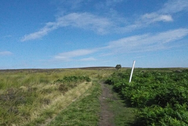
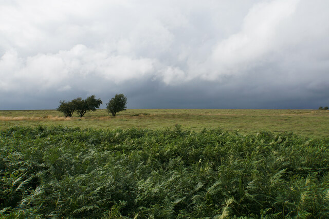
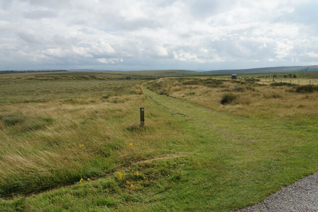
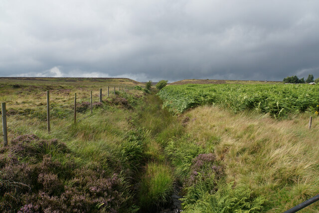
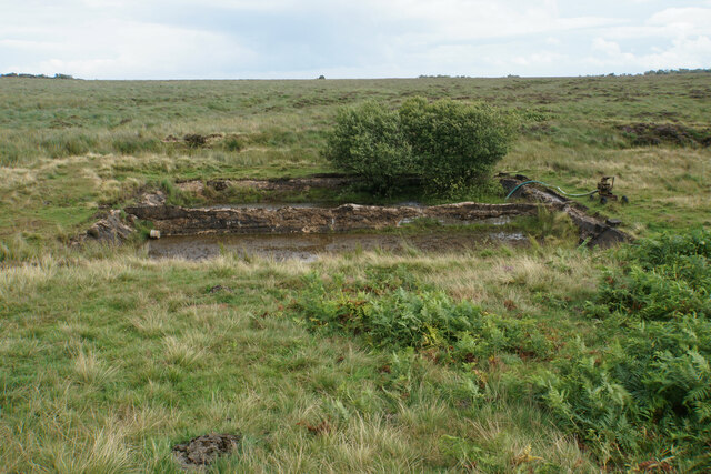
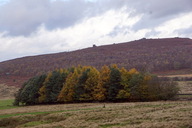
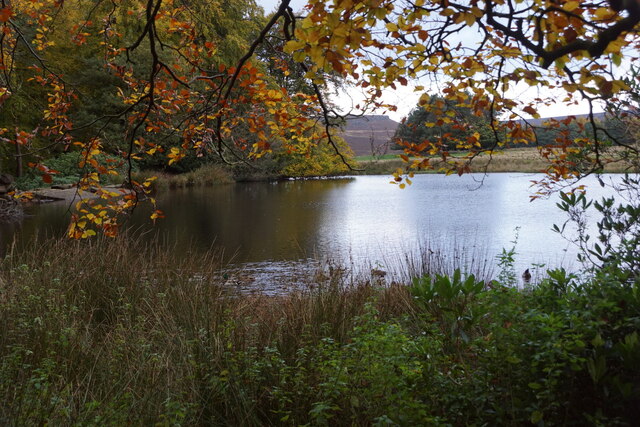
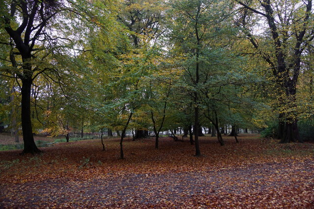
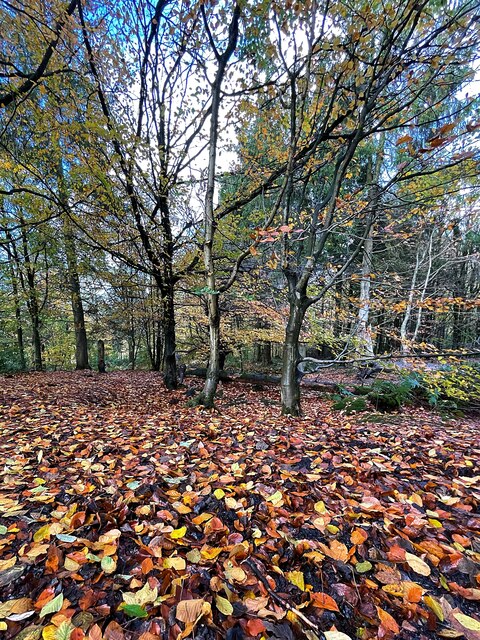
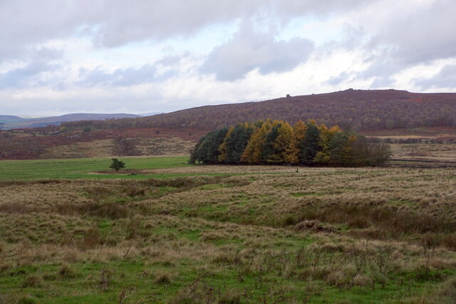
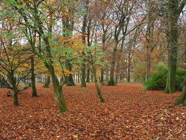
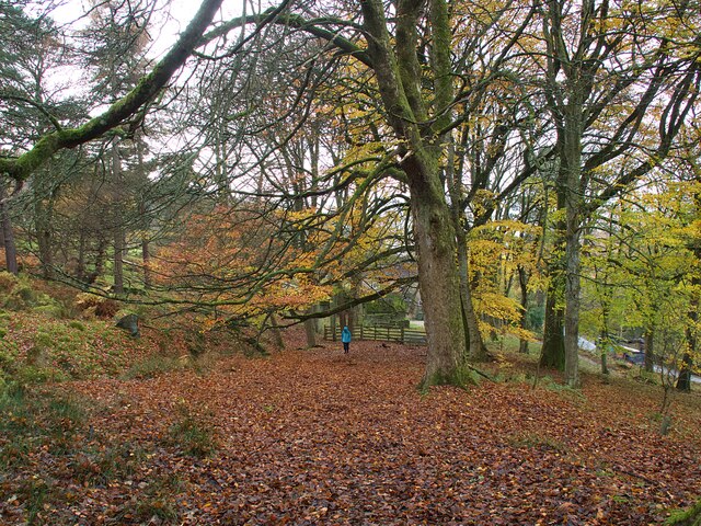
White Edge Moor is a vast expanse of moorland located in the county of Derbyshire, England. Situated in the eastern part of the Peak District National Park, it offers a stunning natural landscape with a unique mix of rolling hills, rocky outcrops, and heather-clad moors. The moorland stretches across an area of approximately 10 square kilometers, providing ample space for outdoor enthusiasts to explore and enjoy the serene surroundings.
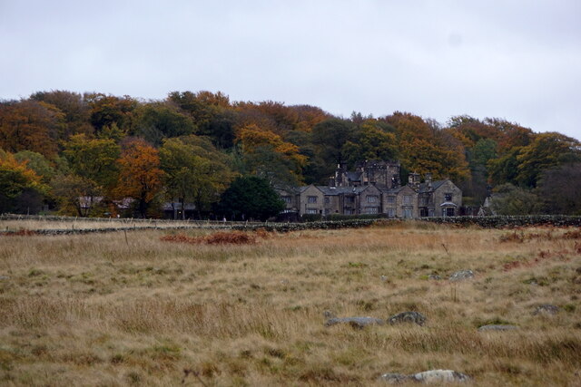
With its elevated position, reaching heights of up to 400 meters above sea level, White Edge Moor offers breathtaking panoramic views of the surrounding countryside. On a clear day, one can see as far as the distant cities of Sheffield and Manchester, adding to the allure of this picturesque location.
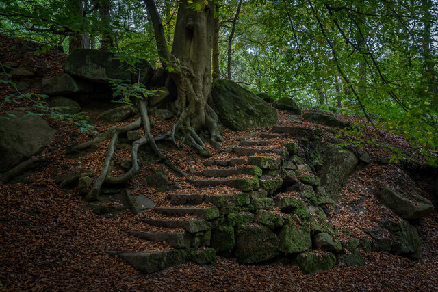
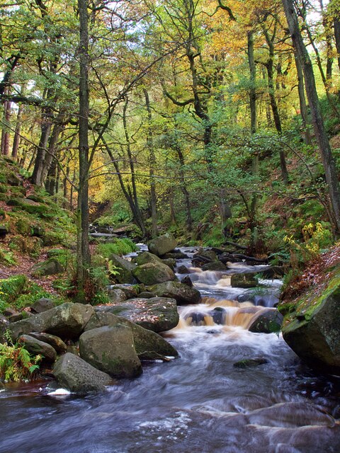
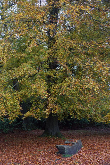
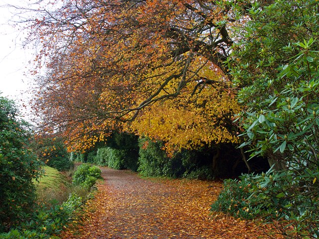
The moorland is characterized by its rugged terrain, dotted with gritstone boulders and crags, which provide a challenge for rock climbers and boulderers. Hiking trails wind their way through the area, offering walkers the chance to discover the moor's hidden gems, such as ancient burial mounds and remnants of Bronze Age settlements.
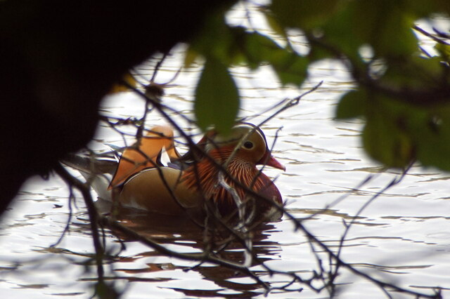
Furthermore, White Edge Moor is known for its rich biodiversity, supporting a variety of plant and animal species. The heather-covered hillsides provide a habitat for numerous bird species, including the iconic red grouse, while the surrounding woodlands are home to mammals such as deer and foxes.
Overall, White Edge Moor is a haven for nature lovers and outdoor enthusiasts, offering a captivating landscape, stunning vistas, and a chance to immerse oneself in the beauty of Derbyshire's countryside.
If you have any feedback on the listing, please let us know in the comments section below.
White Edge Moor Images
Images are sourced within 2km of 53.299097/-1.5984749 or Grid Reference SK2678. Thanks to Geograph Open Source API. All images are credited.
White Edge Moor is located at Grid Ref: SK2678 (Lat: 53.299097, Lng: -1.5984749)
Administrative County: Derbyshire
District: Derbyshire Dales
Police Authority: Derbyshire
What 3 Words
///wasp.amber.spices. Near Hathersage, Derbyshire
Nearby Locations
Related Wikis

Totley Tunnel
Totley Tunnel is a 6,230-yard (3.5 mi; 5.7 km) tunnel under Totley Moor, on the Hope Valley line between Totley on the outskirts of Sheffield and Grindleford...

Padley Gorge
Padley Gorge is a deep but narrow valley in the Peak District, Derbyshire between the village of Grindleford and the A6187 road. The gorge is wooded with...

Longshaw Estate
Longshaw Estate is an area of moorland, woodland and farmland within the Peak District National Park in Derbyshire, England. The name of Longshaw is thought...
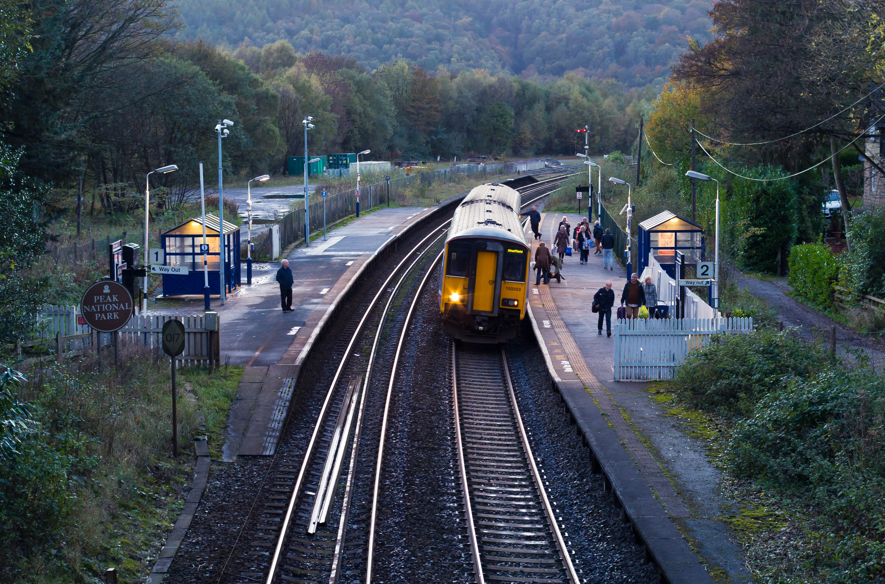
Grindleford railway station
Grindleford railway station serves the village of Grindleford in the Derbyshire Peak District, in England, although the station is about a mile way, the...

Totley Moor
Totley Moor is an open moorland hill to the west of the Sheffield suburb of Totley, in the Derbyshire Peak District. The summit is 395 metres (1,296 ft...

Hathersage Road (Sheffield)
Hathersage Road is a road in Sheffield South Yorkshire, England and Derbyshire. It leads south-west from the suburb of Whirlow over the border between...

Padley Hall
Padley Hall (or Padley Manor) was an Elizabethan great house overlooking the River Derwent near Grindleford, Derbyshire, England. The remains of the hall...

Padley Chapel
Padley Chapel is a building in Grindleford, England, on the site of the former Padley Hall (or Padley Manor). It is a Grade I listed building. == Padley... ==
Nearby Amenities
Located within 500m of 53.299097,-1.5984749Have you been to White Edge Moor?
Leave your review of White Edge Moor below (or comments, questions and feedback).