Chapel Green

Downs, Moorland in Warwickshire North Warwickshire

England

Chapel Green

Minor road goes under the M6
Minor road goes under the M6 Credit: Ian S

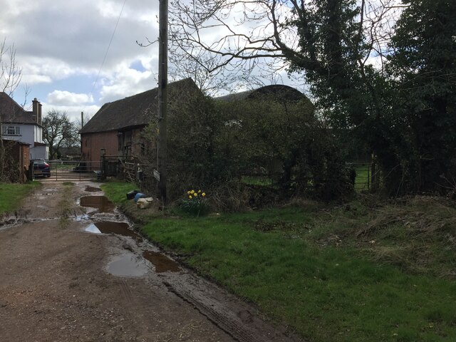
Chapel Green, located in Warwickshire, is a picturesque area known for its beautiful downs and moorland landscapes. Situated in the heart of the English countryside, Chapel Green offers a tranquil and serene environment for residents and visitors alike.

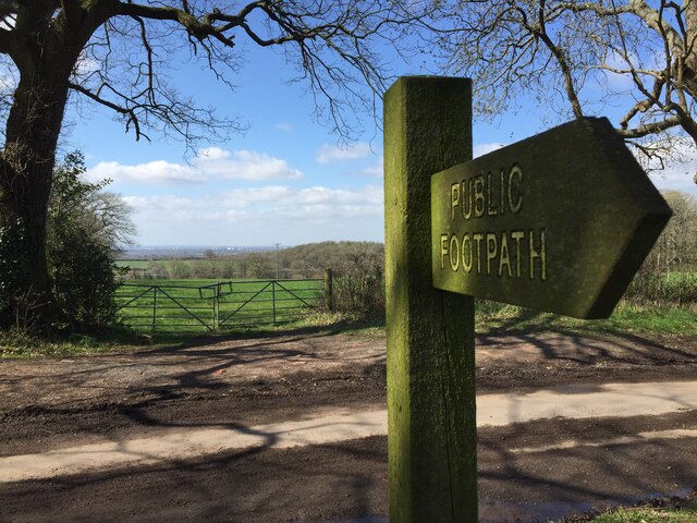
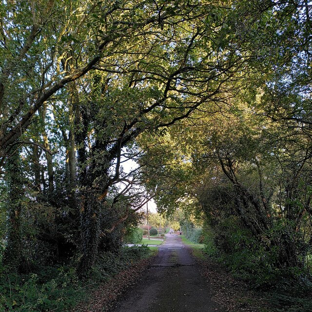
The downs in Chapel Green are vast, rolling hills covered in lush green grass, providing a stunning backdrop for outdoor activities such as hiking, picnicking, and horseback riding. The breathtaking views from the top of the downs attract nature enthusiasts and photographers who strive to capture the beauty of the surrounding countryside.

In addition to the downs, Chapel Green boasts expansive moorland areas scattered throughout the region. These moorlands are characterized by their open, wild spaces covered in heather and other native vegetation. The moorlands provide a habitat for a diverse range of wildlife, including birds, small mammals, and rare plant species, making it a popular destination for nature lovers and bird watchers.

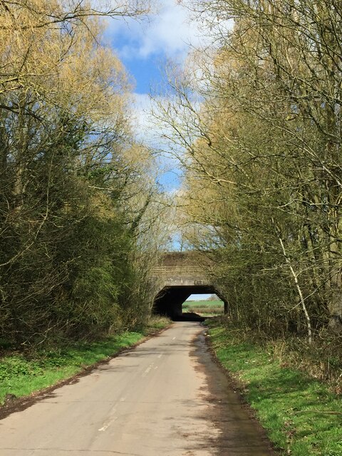
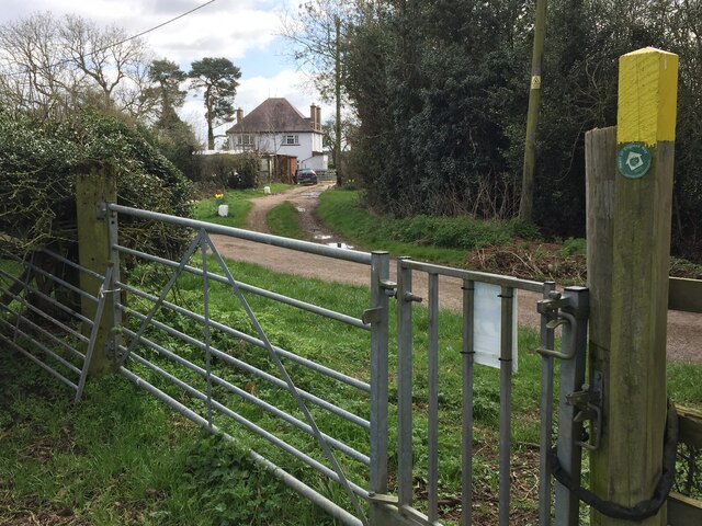
Visitors to Chapel Green can explore the area's numerous walking trails, which wind through the downs and moorlands, offering an opportunity to immerse themselves in the natural beauty of the surroundings. The peaceful atmosphere and unspoiled landscapes make Chapel Green an ideal location for those seeking a break from the hustle and bustle of city life.

Overall, Chapel Green in Warwickshire is a remarkable destination for lovers of the great outdoors. Its downs and moorlands offer a unique and scenic experience, showcasing the beauty and tranquility of the English countryside.

If you have any feedback on the listing, please let us know in the comments section below.
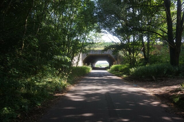
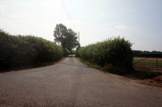
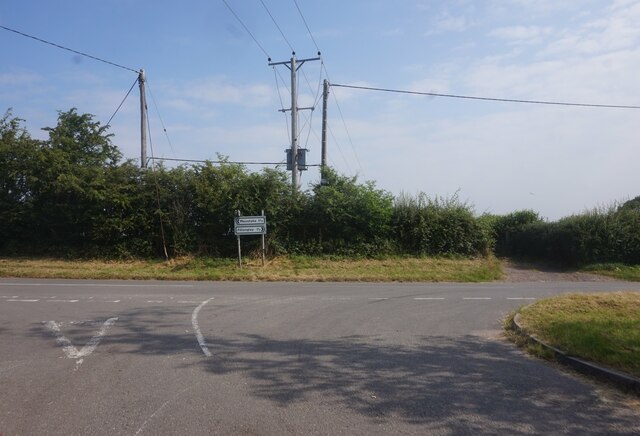
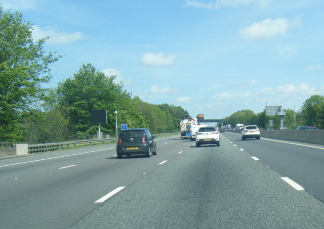
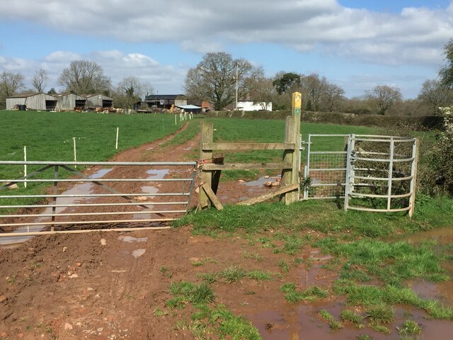
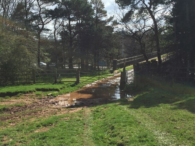
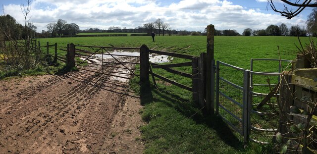
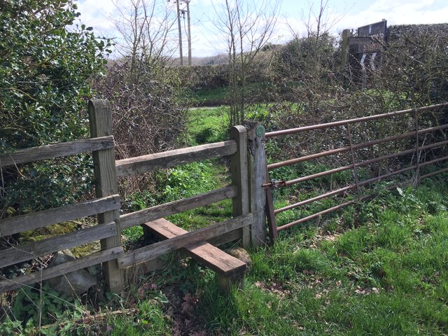
Chapel Green Images

Images are sourced within 2km of 52.466066/-1.6064603 or Grid Reference SP2685. Thanks to Geograph Open Source API. All images are credited.

Minor road goes under the M6
Minor Road towards Green End Farm
Junction on Green End Road
Minor road off Green End Road
Entrance to Old Hall Farm Cottages
M6 eastbound near Rutters Hall
M6 passing under footbridge north of Corley Moor
All To Yourselves - City View Distant view of Chelmsley Wood and Birmingham from  Kinwalsey Lane
All To Yourselves - City View
Distant view of Chelmsley Wood and Birmingham from Kinwalsey Lane
M6 crosses lane to Green End Narrow lane crosses under M6, an area used by rough sleepers and flytippers alike sadly.
M6 crosses lane to Green End
Narrow lane crosses under M6, an area used by rough sleepers and flytippers alike sadly.
Half the noise - nice change View of empty M6 south carriageway, during closures, from Heart of England Way, as it crosses the motorway north of Kinwalsey.

Chelmsley Wood and Birmingham are just a distant blur.
Half the noise - nice change
View of empty M6 south carriageway, during closures, from Heart of England Way, as it crosses the motorway north of Kinwalsey. Chelmsley Wood and Birmingham are just a distant blur.
Approaching Barrat's Farm Heart of England Way crosses lane, with Barrat's Farm ahead.   Right of way goes through gate ahead and to right of farm entrance.  Very muddy.
Approaching Barrat's Farm
Heart of England Way crosses lane, with Barrat's Farm ahead. Right of way goes through gate ahead and to right of farm entrance. Very muddy.
Barrat's Farm Muddy entrance to farm, with right of way, part of Heart of England Way, on the right (gated).  The right of way traverses a very muddy farm yard immediately after this gate.
Barrat's Farm
Muddy entrance to farm, with right of way, part of Heart of England Way, on the right (gated). The right of way traverses a very muddy farm yard immediately after this gate.
Approaching Barrat's Farm from south The muddy paths begin, as Heart of England Way approaches Barrat's Farm from the south.

Electric fences prevent unwanted entertainment with cattle.
Approaching Barrat's Farm from south
The muddy paths begin, as Heart of England Way approaches Barrat's Farm from the south. Electric fences prevent unwanted entertainment with cattle.
Heart of England Way, M6 near Kinwalsey Muddy right of way, approaching footpath/farm track crossing M6
Heart of England Way, M6 near Kinwalsey
Muddy right of way, approaching footpath/farm track crossing M6
End of the mud Heart of England Way, heading south, having crossed over M6, reaches grassy fields, as it proceeds south towards Hayes Hall
End of the mud
Heart of England Way, heading south, having crossed over M6, reaches grassy fields, as it proceeds south towards Hayes Hall
Welcome (almost) to Solihull (B4102) Heart of England Way reaches B4102 Meriden Road, beside Hayes Hall Farm via a stile, at the Warwickshire CC and Solihull MBC border.

Compare the undergrowth to that of <a href="https://www.geograph.org.uk/photo/2311620">SP2685 : Unclassified Road, Solihull Borough</a>
Welcome (almost) to Solihull (B4102)
Heart of England Way reaches B4102 Meriden Road, beside Hayes Hall Farm via a stile, at the Warwickshire CC and Solihull MBC border. Compare the undergrowth to that of SP2685 : Unclassified Road, Solihull Borough
Green Lane, Corley Moor Green Lane is situated at the far northwest of the city of Coventry, the most rural part of the city, and the highest, about 160m above sea level.
Green Lane, Corley Moor
Green Lane is situated at the far northwest of the city of Coventry, the most rural part of the city, and the highest, about 160m above sea level.
Oak tree by Watery Lane, Coventry This Arden country lane runs from Corley Moor to Elkin Wood, in the rural northwestern corner of Coventry.
Oak tree by Watery Lane, Coventry
This Arden country lane runs from Corley Moor to Elkin Wood, in the rural northwestern corner of Coventry.
Show me another place!

Chapel Green is located at Grid Ref: SP2685 (Lat: 52.466066, Lng: -1.6064603)

Administrative County: Warwickshire

District: North Warwickshire

Police Authority: Warwickshire

What 3 Words

///acid.armed.fines. Near Meriden, West Midlands

Nearby Locations

Chapel Green Chapel Green

Related Wikis

Fillongley Castle

Fillongley Castle was a motte and bailey castle and later a fortified manor house in Fillongley in Warwickshire, England. Today, only earthworks and partial...
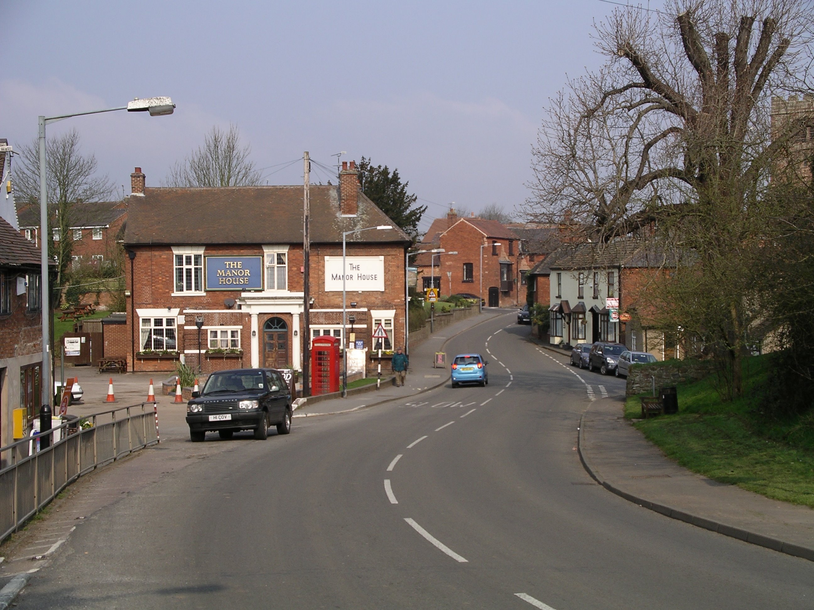
Fillongley

Fillongley, listed as Fillungeleye in 1135, is a village and civil parish in the North Warwickshire district of Warwickshire in England. The village is...

Maxstoke

Maxstoke is a hamlet and civil parish in the North Warwickshire district of the county of Warwickshire, England. It is situated approximately 2.5 miles...
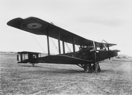
Maxstoke air crash

The Maxstoke air crash occurred on the 19 August 1918. A No. 14 Aircraft Acceptance Park Handley Page O/400 of the Royal Air Force took off from Castle...

Walsh Hall, Meriden

Walsh Hall is a six-bedroom, Grade II* listed house on Walsh Lane, Meriden, West Midlands (originally Warwickshire), England.It comprises a 16 foot (4...

Meriden Rural District

The Meriden Rural District was a rural district of Warwickshire, England, which existed between 1894 and 1974. It was named after the village of Meriden...

Forest of Arden Hotel and Country Club

The Forest of Arden Hotel & Country Club is a hotel and country club complex in England. Operated by Marriott Hotels & Resorts, it is located 4 miles...

English Open

The English Open was a professional golf tournament held in England. First played in 1988, it was an annual event on the European Tour until 2002. After...

Nearby Amenities

Located within 500m of 52.466066,-1.6064603
Bus Stop
Wall Hill Road
Bus: yes
Naptan AtcoCode: 4200F014600
Naptan Bearing: NW
Naptan CommonName: Wall Hill Road
Naptan Indicator: Jcn
Naptan NaptanCode: warampwg
Naptan Street: Chapel Green
Naptan Verified: no
Public Transport: platform
Source: naptan_import
Lat/Long: 52.4660776/-1.6042997
The data included in this document is from www.openstreetmap.org. The data is made available under ODbL.

Have you been to Chapel Green?

Leave your review of Chapel Green below (or comments, questions and feedback).