Alvescot Down
Downs, Moorland in Oxfordshire West Oxfordshire
England
Alvescot Down

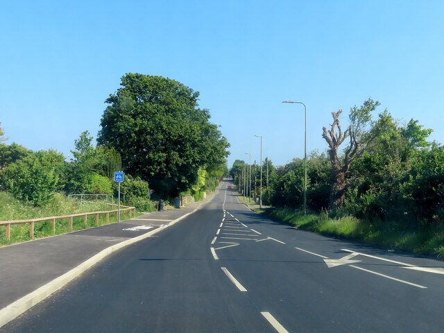
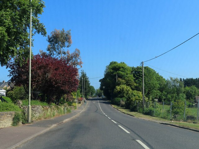
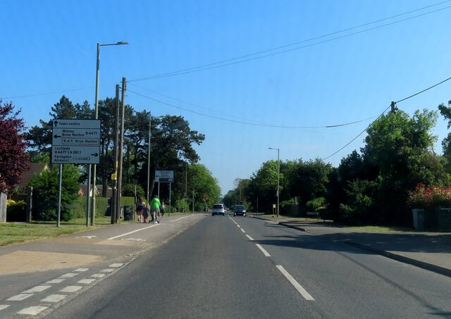
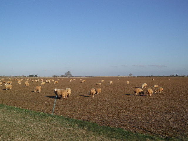
Alvescot Down is a prominent geographical feature located in Oxfordshire, England. Stretching over an area of approximately 200 acres, it is situated within the wider Cotswolds region. The Down is characterized by its gently rolling hills, open grasslands, and patches of heather moorland, presenting a picturesque landscape.
The area is rich in biodiversity, harboring a diverse range of flora and fauna. The grasslands are home to numerous species of wildflowers, including orchids, cowslips, and meadow buttercups. This vibrant floral display attracts a variety of insects, butterflies, and bees, contributing to the area's ecological significance.
Alvescot Down is also known for its heather moorland, a rare habitat in Oxfordshire. This unique environment supports several bird species, such as skylarks, meadow pipits, and stonechats. The moorland provides an ideal nesting ground for these birds, offering protection and ample food sources.
The Down offers stunning panoramic views of the surrounding countryside, showcasing the undulating hills and lush green valleys. These sweeping vistas make it a popular destination for hikers, nature enthusiasts, and photographers seeking to capture the beauty of the area.
Visitors can explore the Down via a network of footpaths and trails, allowing for leisurely walks and peaceful moments amidst nature. The area is managed by local conservation organizations, ensuring the preservation of its natural beauty and protection of its unique habitats.
Alvescot Down is a cherished landscape within Oxfordshire, offering a tranquil escape from the bustling urban areas and providing a glimpse into the region's natural heritage.
If you have any feedback on the listing, please let us know in the comments section below.
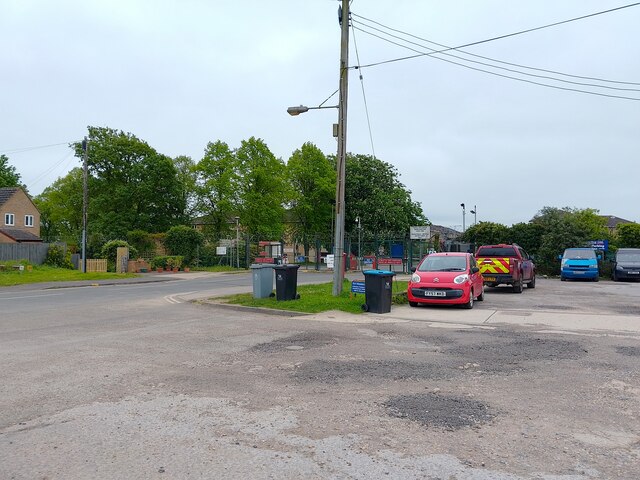
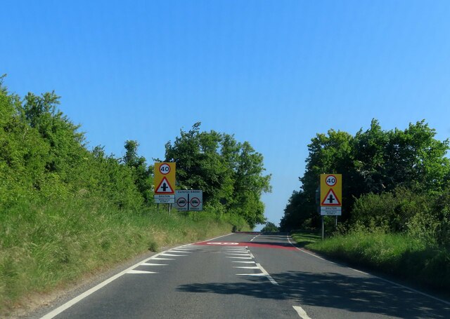
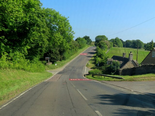
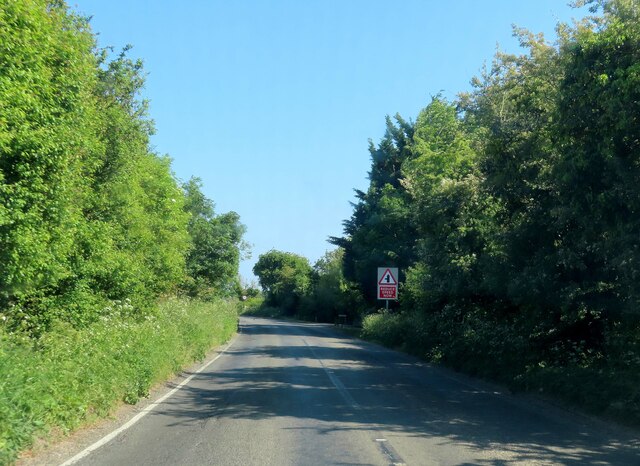
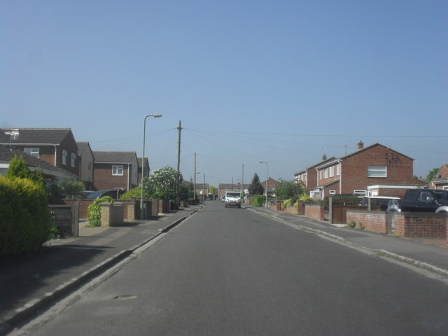
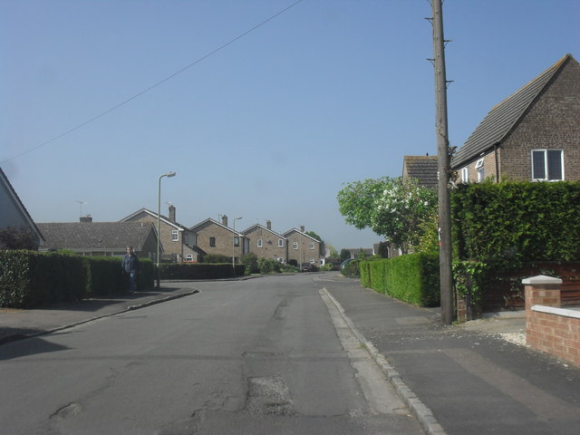
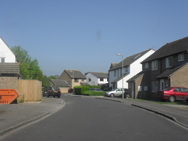
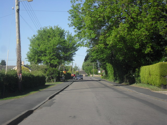
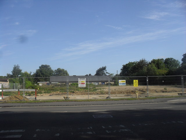
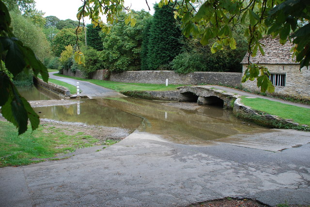
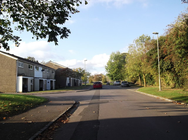
Alvescot Down Images
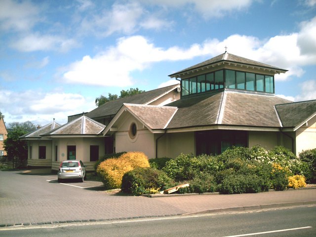
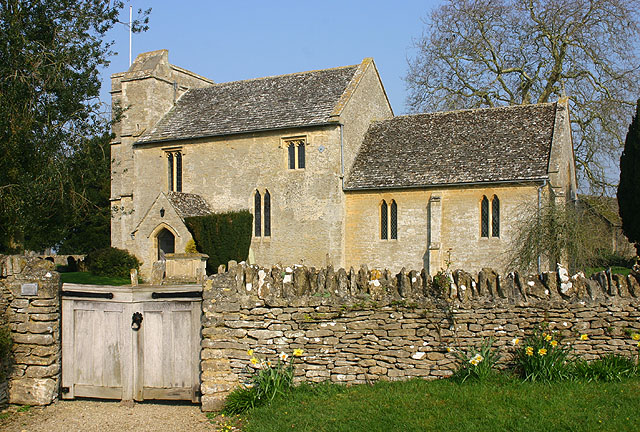
Images are sourced within 2km of 51.762332/-1.6126334 or Grid Reference SP2607. Thanks to Geograph Open Source API. All images are credited.

Alvescot Down is located at Grid Ref: SP2607 (Lat: 51.762332, Lng: -1.6126334)
Administrative County: Oxfordshire
District: West Oxfordshire
Police Authority: Thames Valley
What 3 Words
///drivers.joked.splash. Near Carterton, Oxfordshire
Nearby Locations
Related Wikis

Carterton Community College
Carterton Community College is a coeducational secondary school located in Carterton in the English county of Oxfordshire.It is a community school administered...

Shilton, Oxfordshire
Shilton is a village and civil parish about 1+1⁄2 miles (2.4 km) northwest of Carterton, Oxfordshire. The 2011 Census recorded the parish's population...
Carterton, Oxfordshire
Carterton is a town in West Oxfordshire district in the county of Oxfordshire, England and is 4 miles (6.4 km) south-west of Witney. The 2011 Census recorded...
Carterton F.C.
Carterton Football Club is a football club based in Carterton, Oxfordshire, England. They are currently members of the Oxfordshire Senior League Premier...
RAF Broadwell
Royal Air Force Broadwell or more simply RAF Broadwell is a former Royal Air Force station located 2 miles north of Broadwell and 3 miles southeast of...
Kencot
Kencot is a village and civil parish about 2 miles (3 km) south-west of Carterton in West Oxfordshire. The 2011 Census recorded the parish's population...
Royal Air Force Football Association
The Royal Air Force Football Association, also known as the RAF FA, is the governing body of football within the Royal Air Force. == RAF Challenge Cup... ==

RAF Brize Norton
Royal Air Force Brize Norton or RAF Brize Norton (IATA: BZZ, ICAO: EGVN) in Oxfordshire, about 75 mi (121 km) west north-west of London, is the largest...
Nearby Amenities
Located within 500m of 51.762332,-1.6126334Have you been to Alvescot Down?
Leave your review of Alvescot Down below (or comments, questions and feedback).