Upper Canterton Green

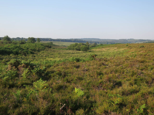
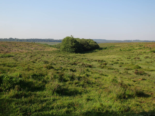
Downs, Moorland in Hampshire New Forest

England

Upper Canterton Green

The Rufus Stone
The Rufus Stone Credit: Helen Steed

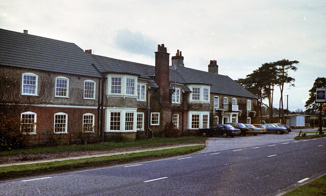
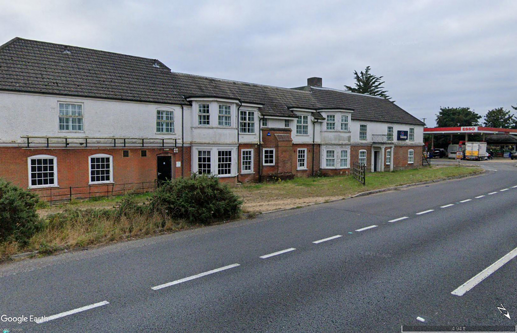
Upper Canterton Green is a picturesque village located in Hampshire, England. Situated atop the rolling hills of the Hampshire Downs and surrounded by vast expanses of moorland, it offers breathtaking views of the natural beauty that this region is renowned for.

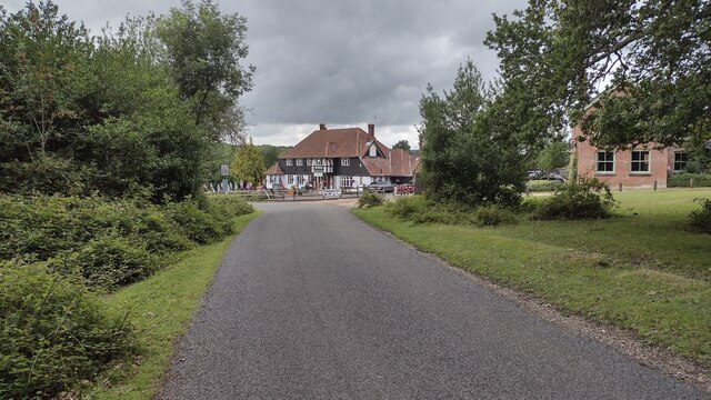
The village itself is small, with a population of around 200 residents. The charming cottages, built from local stone, give Upper Canterton Green a quaint and traditional feel. The community is close-knit, with a strong sense of pride and camaraderie amongst its residents.

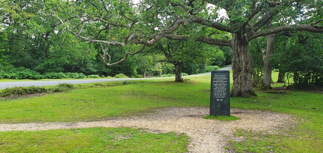
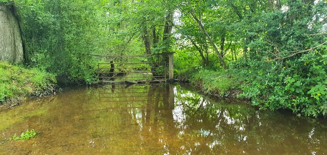
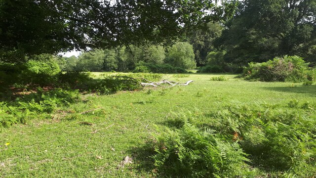
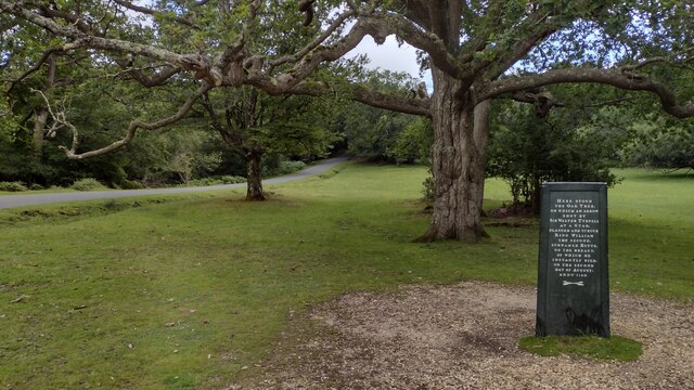
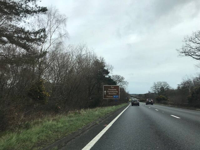
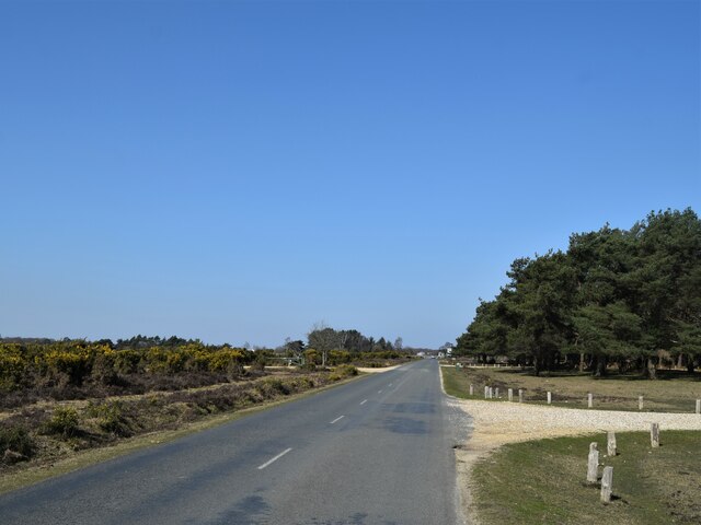
The Hampshire Downs, which border the village, provide a haven for nature enthusiasts and outdoor lovers. The area is dotted with walking trails, offering visitors the chance to explore the stunning countryside and soak in the tranquility of the surroundings. The downs are also home to a diverse array of wildlife, including rare bird species, making it a popular destination for birdwatchers.

The moorland surrounding Upper Canterton Green is equally captivating. Its wild and untamed beauty is a sight to behold, with heather-covered hills stretching into the distance. The moorland is ideal for long walks and hikes, allowing visitors to immerse themselves in the rich natural landscape.

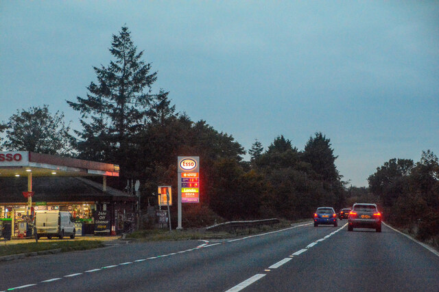
Despite its rural setting, Upper Canterton Green is not far from amenities. The nearby town of Winchester offers a range of shops, restaurants, and cultural attractions, ensuring that residents have access to all the necessary conveniences.

In summary, Upper Canterton Green is a hidden gem nestled within the Hampshire Downs and moorland. Its stunning natural surroundings, combined with its close-knit community, make it a truly idyllic place to live or visit.

If you have any feedback on the listing, please let us know in the comments section below.

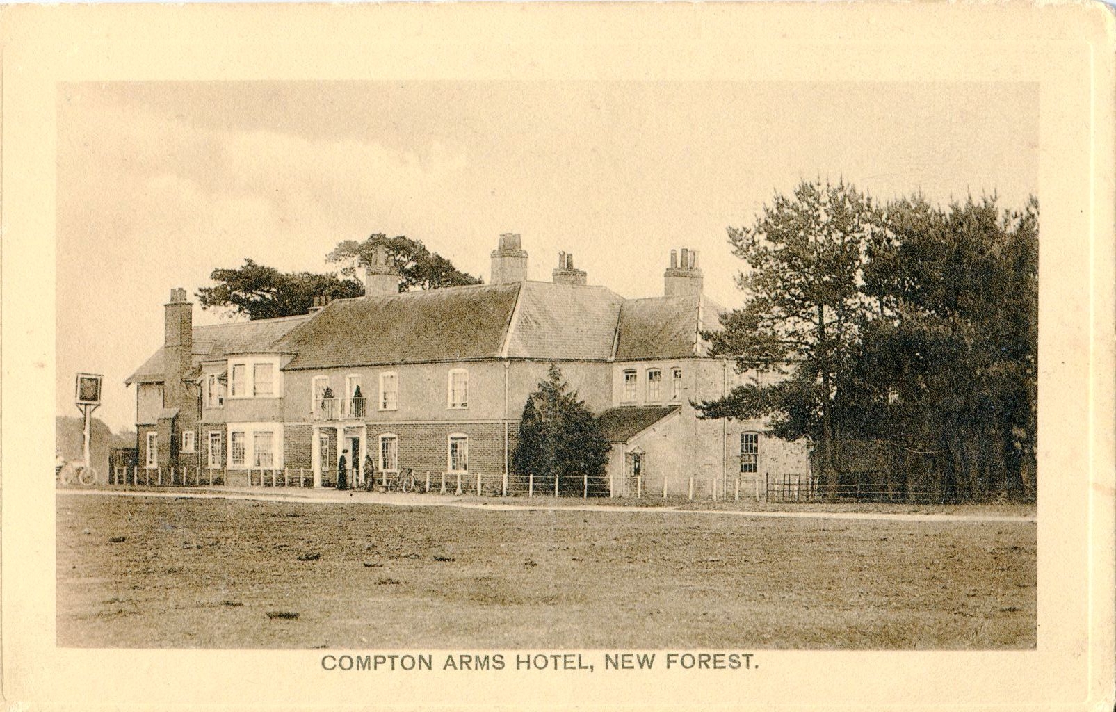
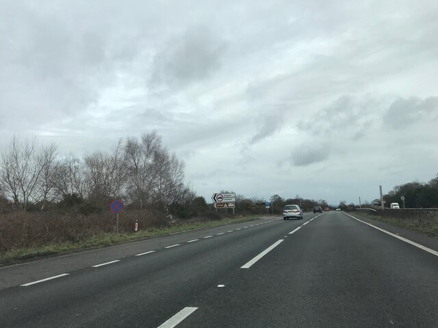
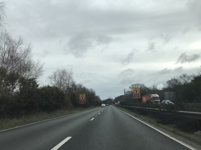
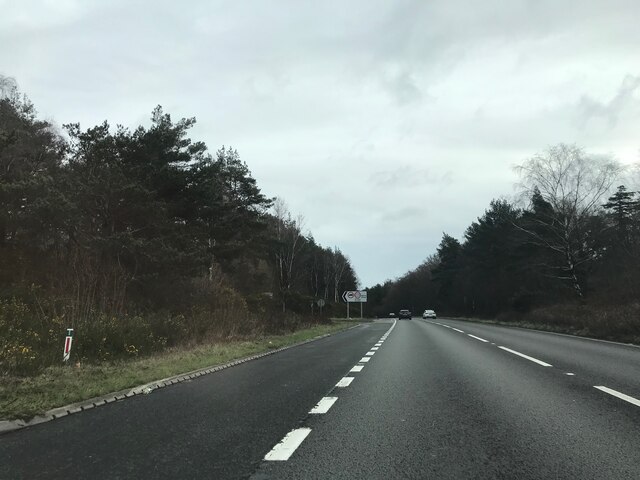
Upper Canterton Green Images

Images are sourced within 2km of 50.912513/-1.6211052 or Grid Reference SU2612. Thanks to Geograph Open Source API. All images are credited.

The Rufus Stone
The Rufus Stone
King's Garn Gutter
King's Garn Gutter
Forest lawn on lower edge of Brook Wood
Minstead : The A31 Looking along the A31.
Minstead : The A31
Looking along the A31.
Minstead : The A31 Looking along the A31.
Minstead : The A31
Looking along the A31.
Rufus Stone Rufus Stone encased in a protective cover
Rufus Stone
Rufus Stone encased in a protective cover
Lane to Brook Lane to Brook passing the Sir Walter Tyrell pub
Lane to Brook
Lane to Brook passing the Sir Walter Tyrell pub
Concrete Hardstanding Old concrete hardstanding on former RAF Stoney Cross
Concrete Hardstanding
Old concrete hardstanding on former RAF Stoney Cross
Valley by Fox Hill
Valley by Fox Hill
Valley by Fox Hill The start of Long Brook into Withybed Bottom.
Valley by Fox Hill
The start of Long Brook into Withybed Bottom.
The Compton Arms, Stoney Cross c.1970 Before it became the corporate and characterless Little Chef and the Travelodge of today, The Compton Arms was a long established country inn - a free house, with a reputation for fine food and good ale. Named after a local squire, Henry Compton, its origins lie much further back than when this photograph was taken. In the 18th century it was a posting inn that catered for the local gentry by supplying horses and post chaises for hire, and because of the number of influential personages residing in the locality, a Post Office was established at the inn in 1837. This would have benefitted the local inhabitants considerably, as Stoney Cross was on the mail coach route from London to Poole via Southampton. Interestingly, although the building long ago had given up its post office, in 2008 it still retained its now disused Edwardian GPO postbox. <a title="https://www.geograph.org.uk/photo/962737" href="https://www.geograph.org.uk/photo/962737">Link</a>

At sometime in the past, in order to accommodate the ever increasing number of motorists, the building had been sensitively extended to the east, the extension incorporating a new bay window to match the old one to the west. Since then, the old coaching inn has been remodelled, and now compares unfavourably with the photo above in this Sept. 2021 Streetview image: <span class="nowrap"><a title="https://media.geograph.org.uk/files/7eabe3a1649ffa2b3ff8c02ebfd5659f/Compton_Arms_GE-original.jpg" rel="nofollow ugc noopener" href="https://media.geograph.org.uk/files/7eabe3a1649ffa2b3ff8c02ebfd5659f/Compton_Arms_GE-original.jpg">Link</a><img style="margin-left:2px;" alt="External link" title="External link - shift click to open in new window" src="https://s1.geograph.org.uk/img/external.png" width="10" height="10"/></span> 

The Compton Arms - early 20th century: <span class="nowrap"><a title="https://media.geograph.org.uk/files/7eabe3a1649ffa2b3ff8c02ebfd5659f/MGPC004-original.jpg" rel="nofollow ugc noopener" href="https://media.geograph.org.uk/files/7eabe3a1649ffa2b3ff8c02ebfd5659f/MGPC004-original.jpg">Link</a><img style="margin-left:2px;" alt="External link" title="External link - shift click to open in new window" src="https://s1.geograph.org.uk/img/external.png" width="10" height="10"/></span>
The Compton Arms, Stoney Cross c.1970
Before it became the corporate and characterless Little Chef and the Travelodge of today, The Compton Arms was a long established country inn - a free house, with a reputation for fine food and good ale. Named after a local squire, Henry Compton, its origins lie much further back than when this photograph was taken. In the 18th century it was a posting inn that catered for the local gentry by supplying horses and post chaises for hire, and because of the number of influential personages residing in the locality, a Post Office was established at the inn in 1837. This would have benefitted the local inhabitants considerably, as Stoney Cross was on the mail coach route from London to Poole via Southampton. Interestingly, although the building long ago had given up its post office, in 2008 it still retained its now disused Edwardian GPO postbox. Link At sometime in the past, in order to accommodate the ever increasing number of motorists, the building had been sensitively extended to the east, the extension incorporating a new bay window to match the old one to the west. Since then, the old coaching inn has been remodelled, and now compares unfavourably with the photo above in this Sept. 2021 Streetview image: LinkExternal link The Compton Arms - early 20th century: LinkExternal link
Signage - A31 northbound
Towards the A31 at Stoney Cross The car park at the strangely named Andrew's Mare is off at the next track right
Towards the A31 at Stoney Cross
The car park at the strangely named Andrew's Mare is off at the next track right
Bridleway, King's Garn
Show me another place!

Upper Canterton Green is located at Grid Ref: SU2612 (Lat: 50.912513, Lng: -1.6211052)

Administrative County: Hampshire

District: New Forest

Police Authority: Hampshire

What 3 Words

///spud.tiredness.hints. Near Cadnam, Hampshire

Related Wikis

Upper Canterton

Upper Canterton is a village in Hampshire, England, located at 50°54′36″N 1°37′24″W. It is near Minstead. == References == The geographic coordinates are...

Minstead

Minstead is a small village and civil parish in the New Forest, Hampshire, about 2 miles (3.2 km) north of Lyndhurst. There is a shop and a pub, the Trusty...

Brook, New Forest

Brook is a hamlet in the civil parish of Bramshaw, in Hampshire, England. It lies just inside the New Forest. The hamlet contains a mix of 18th and 19th...

Minstead Lodge

Minstead Lodge in Hampshire is a building of historical significance built in about 1830 and is Grade II listed on the English Heritage Register. Today...

RAF Stoney Cross

Royal Air Force Stoney Cross or more simply RAF Stoney Cross is a former Royal Air Force station in the New Forest, Hampshire, England. The airfield is...

Cadnam

Cadnam is a village situated in Hampshire, England, within the boundaries of the New Forest National Park. The village has existed since the medieval period...

Bartley Lodge

Bartley Lodge is a country house near Cadnam in Hampshire, England, within the boundaries of the New Forest National Park. It was built in the 18th century...

Fritham

Fritham is a small village in Hampshire, England. It lies in the north of the New Forest, near the Wiltshire border. It is in the civil parish of Bramshaw...

Nearby Amenities

Located within 500m of 50.912513,-1.6211052
Pub
Sir Walter Tyrrell
Lat/Long: 50.9133439/-1.6192629
Rufus Stone
Historic: memorial
Inscription: Here stood the Oak Tree, on which an arrow shot by Sir Walter Tyrrell at a Stag, glanced and struck King William the second, surnamed Rufus, on the breast, of which he instantly died, on the second day of August, anno 1100.
Material: metal
Tourism: attraction
Lat/Long: 50.9111785/-1.6170541
Upper Canterton
Place: hamlet
Wikidata: Q7898543
Lat/Long: 50.915041/-1.6182986
Upper Canterton Green
Place: locality
Lat/Long: 50.912385/-1.621299
Yewtree Holms
Place: locality
Lat/Long: 50.909741/-1.6209013
Castle Malwood Walk
Place: locality
Lat/Long: 50.9112568/-1.6201241
Sir Walter Tyrrell pub campsite
Tourism: camp_site
Lat/Long: 50.9135378/-1.6184672
The data included in this document is from www.openstreetmap.org. The data is made available under ODbL.

Have you been to Upper Canterton Green?

Leave your review of Upper Canterton Green below (or comments, questions and feedback).