Ash Cabin Flat
Downs, Moorland in Yorkshire
England
Ash Cabin Flat
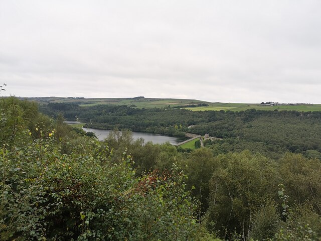
Ash Cabin Flat is a picturesque area located in the heart of Yorkshire, encompassing both the Downs and Moorland regions. Situated amidst rolling hills and verdant landscapes, it offers a striking combination of natural beauty and serene tranquility.
The flat itself is named after the ancient ash tree that stands proudly at its center, serving as a focal point for visitors and locals alike. The tree is believed to be hundreds of years old, its gnarled branches reaching towards the sky, providing shade and a sense of history to the area. Surrounding the ash tree are open meadows, adorned with vibrant wildflowers during the warmer months.
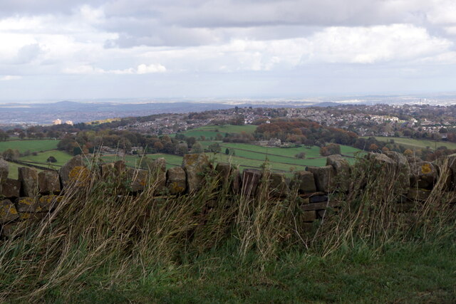
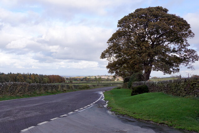
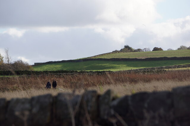
The Yorkshire Downs, which extend to the west of Ash Cabin Flat, offer breathtaking views of the surrounding countryside. The undulating hills provide ample opportunities for hiking and walking, with many well-marked trails leading explorers through picturesque valleys and along scenic ridges. It is not uncommon to spot grazing sheep or wild ponies while venturing through this vast expanse of natural beauty.
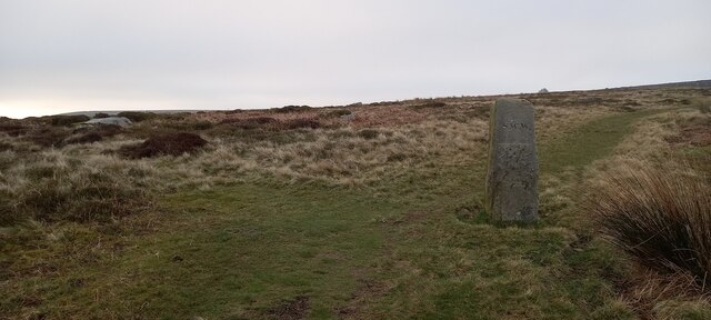
To the east lies the Moorland, a rugged landscape characterized by heather-covered hills and rocky outcrops. This wild and untamed region is home to a diverse range of plant and animal species, including rare birds and reptiles. The Moorland is a haven for outdoor enthusiasts, offering opportunities for hiking, birdwatching, and even rock climbing.
Overall, Ash Cabin Flat is a captivating destination for nature lovers and those seeking solace in the great outdoors. Its combination of lush meadows, rolling hills, and wild moorland make it a truly unique and enchanting place to visit in the heart of Yorkshire.
If you have any feedback on the listing, please let us know in the comments section below.
Ash Cabin Flat Images
Images are sourced within 2km of 53.372859/-1.6014795 or Grid Reference SK2686. Thanks to Geograph Open Source API. All images are credited.
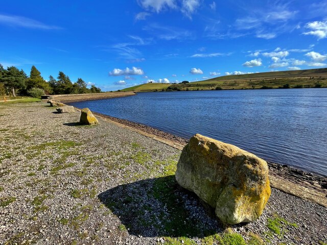
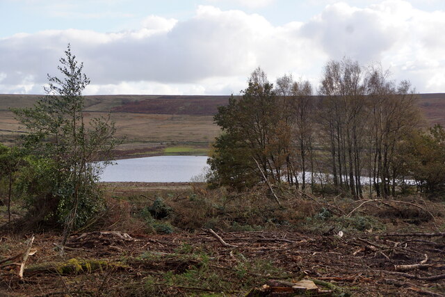
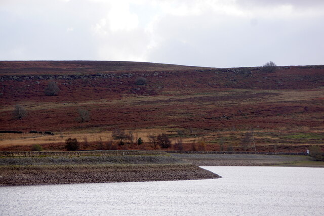
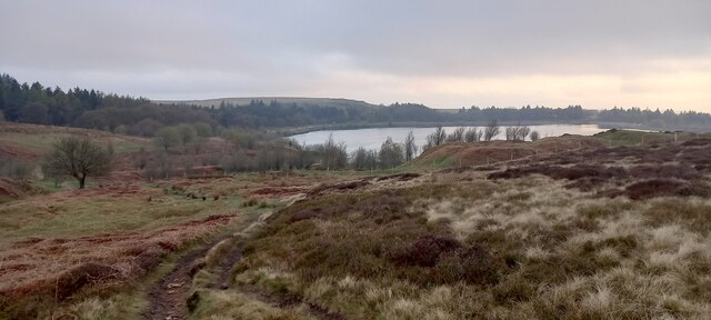
![Redmires Middle Reservoir One of a group of three reservoirs on the Hallam Moors. Looking very low after a dry summer though this would appear to be deliberate as the upper and lower reservoirs were much fuller <a href="https://www.geograph.org.uk/photo/6981481">SK2685 : Redmires Lower Reservoir</a>].](https://s3.geograph.org.uk/geophotos/06/98/14/6981479_5159f0d4.jpg)
Ash Cabin Flat is located at Grid Ref: SK2686 (Lat: 53.372859, Lng: -1.6014795)
Division: West Riding
Unitary Authority: Sheffield
Police Authority: South Yorkshire
What 3 Words
///guess.almost.transit. Near Bradfield, South Yorkshire
Nearby Locations
Related Wikis

Wyming Brook
The Wyming Brook is a river in the City of Sheffield, England. Its source is the Redmires Reservoirs near the Hallam Moors. It flows in a north-easterly...

Rivelin Dams
Rivelin Dams are a pair of water storage reservoirs situated in the upper part of the Rivelin Valley, 5 miles (8 km) west of Sheffield in South Yorkshire...

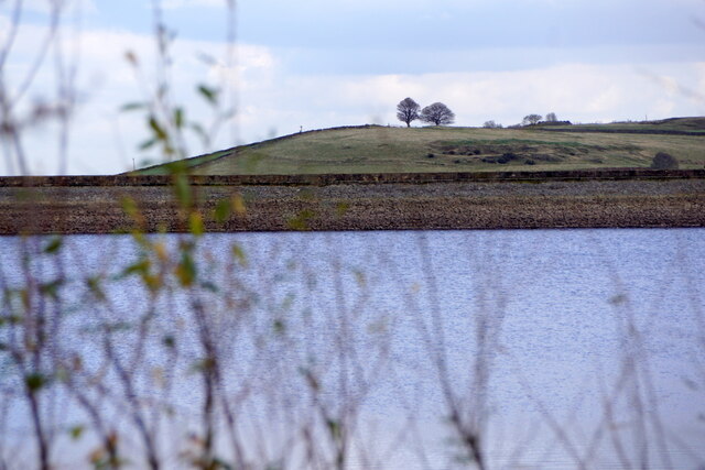
Redmires Reservoirs
The Redmires Reservoirs are a group of three reservoirs in Fulwood, Sheffield, South Yorkshire, England. They are fed from the Hallam Moors by various...

Lodge Moor camp
Lodge Moor was a British military camp based near Redmires Reservoirs, Sheffield, that was best known for housing prisoners of war during World War II...
Nearby Amenities
Located within 500m of 53.372859,-1.6014795Have you been to Ash Cabin Flat?
Leave your review of Ash Cabin Flat below (or comments, questions and feedback).