Apsey Shade
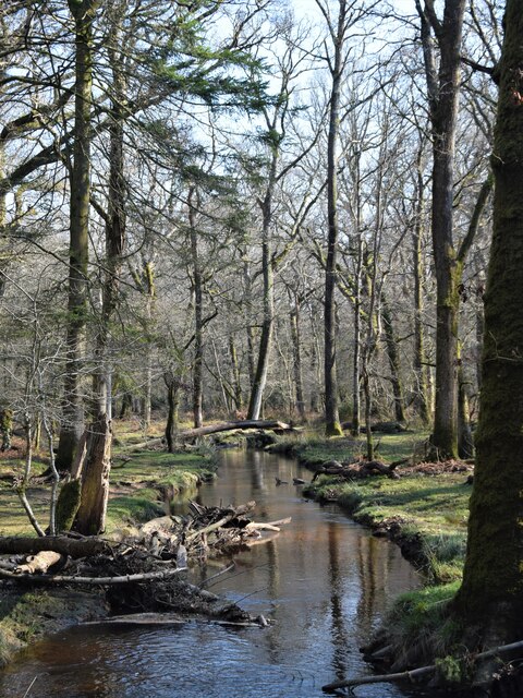
Downs, Moorland in Hampshire New Forest
England
Apsey Shade

Apsey Shade is a picturesque village located in the county of Hampshire, England. Situated amidst the stunning natural beauty of the Downs and Moorland, it offers residents and visitors a peaceful and idyllic retreat from the hustle and bustle of city life.
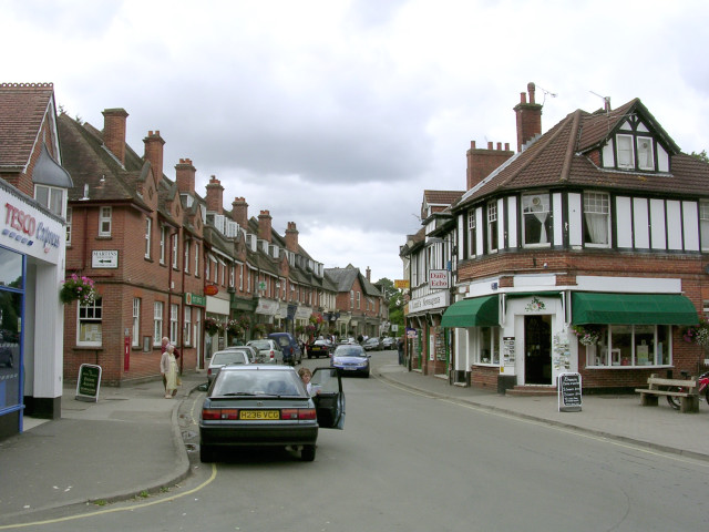
The village is characterized by its charming thatched cottages and quaint cobblestone streets, which exude a quintessential English countryside charm. The surrounding landscape is dominated by rolling hills, lush green meadows, and sprawling woodlands, making it a haven for nature enthusiasts and outdoor adventurers.
Apsey Shade is renowned for its breathtaking views, particularly from the nearby Downs, where visitors can enjoy panoramic vistas of the surrounding countryside. The Downs also offer excellent opportunities for hiking, cycling, and horseback riding, with numerous well-marked trails to explore.
The village is home to a close-knit community, with a population of around 500 residents. The local pub, The Thatched Roof, serves as a popular gathering spot, where villagers and visitors alike can enjoy a pint of locally brewed ale and traditional British pub fare.
In terms of amenities, Apsey Shade boasts a primary school, a village hall, and a small convenience store. For more extensive shopping and entertainment options, the nearby town of Hampshire is just a short drive away.
Overall, Apsey Shade is a hidden gem nestled in the heart of Hampshire's Downs and Moorland. With its stunning natural surroundings, charming architecture, and welcoming community, it offers a truly unforgettable experience for those seeking a tranquil countryside retreat.
If you have any feedback on the listing, please let us know in the comments section below.
Apsey Shade Images
Images are sourced within 2km of 50.827407/-1.6237249 or Grid Reference SU2603. Thanks to Geograph Open Source API. All images are credited.


Apsey Shade is located at Grid Ref: SU2603 (Lat: 50.827407, Lng: -1.6237249)
Administrative County: Hampshire
District: New Forest
Police Authority: Hampshire
What 3 Words
///impresses.twitchy.stuffing. Near Brockenhurst, Hampshire
Nearby Locations
Related Wikis

Warwickslade Cutting Railway
The Warwickslade Cutting Railway was a light railway temporarily built to fill in the Warwickslade Cutting, a straight drainage ditch dug circa 1850 in...

New Forest West (UK Parliament constituency)
New Forest West is a constituency represented in the House of Commons of the UK Parliament since 1997 by Desmond Swayne, a Conservative. == Constituency... ==
Brockenhurst
Brockenhurst is the largest village by population within the New Forest in Hampshire, England. The nearest city is Southampton some 13 miles (21 km) to...

Knightwood Oak
The Knightwood Oak is a pedunculate oak and the largest, and perhaps most famous, oak tree in the New Forest, in southern England. It is also known as...

Brockenhurst Church of England Primary School
Brockenhurst School, now Brockenhurst Church of England Primary School, is a former charity school in the English village of Brockenhurst, Hampshire. It...
Brockenhurst F.C.
Brockenhurst Football Club is a football club based in Brockenhurst, near Lymington, in Hampshire, England. They are currently members of the Wessex League...
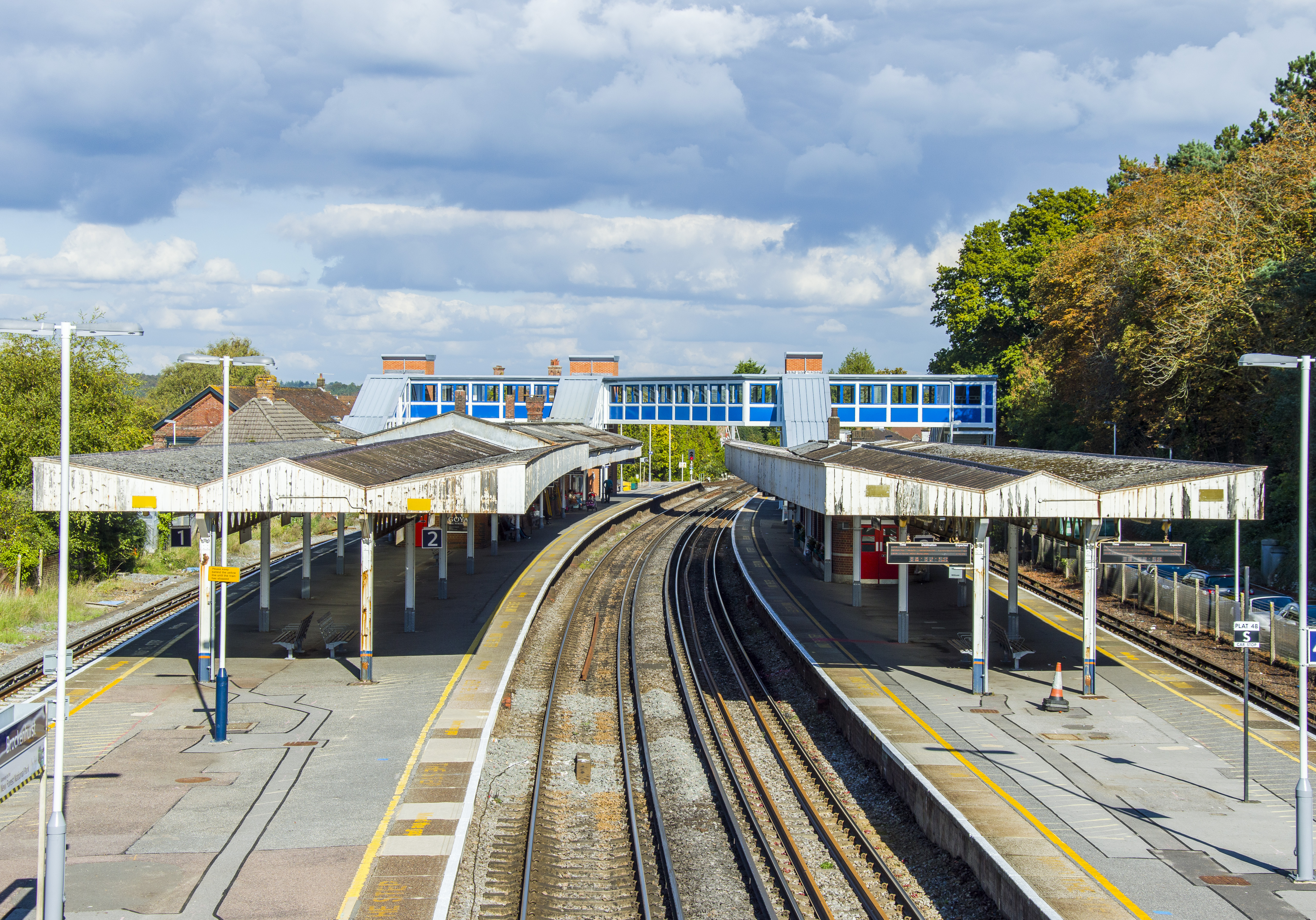
Brockenhurst railway station
Brockenhurst railway station serves the largest village of Brockenhurst in Hampshire, England. It is located on the South West Main Line from London Waterloo...

Lymington River SSSI
Lymington River SSSI is a 34.8-hectare (86-acre) biological and geological Site of Special Scientific Interest along Lymington River and its tributaries...
Nearby Amenities
Located within 500m of 50.827407,-1.6237249Have you been to Apsey Shade?
Leave your review of Apsey Shade below (or comments, questions and feedback).