Aldridge Hill
Hill, Mountain in Hampshire New Forest
England
Aldridge Hill

Aldridge Hill is a prominent hill located in Hampshire, England. Situated in the heart of the New Forest National Park, it offers breathtaking views and is a popular destination for outdoor enthusiasts. With an elevation of approximately 195 meters (640 feet), it is not classified as a mountain but rather a hill.
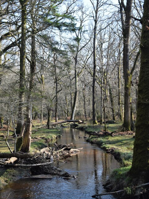
Covered in a mix of woodland and heathland, Aldridge Hill is home to a diverse range of flora and fauna, including ancient oaks, silver birches, and various species of wildflowers. The hill's unique ecosystem provides a habitat for a wide array of wildlife, such as deer, ponies, and a variety of bird species. Nature lovers will find ample opportunities for birdwatching and wildlife spotting.
The hill is crisscrossed with numerous walking trails, making it a favorite spot for hikers and nature enthusiasts. One popular route is the circular walk around Aldridge Hill, which takes visitors through enchanting forests, open heathlands, and peaceful streams. The trails are well-maintained and offer a mix of easy and moderate terrain, suitable for all ages and fitness levels.
Aldridge Hill also holds historical significance, as it was once part of a medieval deer park owned by the English monarchy. Remnants of this historic past can still be seen in the form of ancient boundary walls and earthworks.
Whether you are seeking a peaceful escape to nature, a chance to spot wildlife, or simply enjoy a scenic walk, Aldridge Hill offers a delightful experience for visitors of all interests.
If you have any feedback on the listing, please let us know in the comments section below.
Aldridge Hill Images
Images are sourced within 2km of 50.825984/-1.6201727 or Grid Reference SU2603. Thanks to Geograph Open Source API. All images are credited.


Aldridge Hill is located at Grid Ref: SU2603 (Lat: 50.825984, Lng: -1.6201727)
Administrative County: Hampshire
District: New Forest
Police Authority: Hampshire
What 3 Words
///watchdogs.beads.faded. Near Brockenhurst, Hampshire
Nearby Locations
Related Wikis

Warwickslade Cutting Railway
The Warwickslade Cutting Railway was a light railway temporarily built to fill in the Warwickslade Cutting, a straight drainage ditch dug circa 1850 in...

New Forest West (UK Parliament constituency)
New Forest West is a constituency represented in the House of Commons of the UK Parliament since 1997 by Desmond Swayne, a Conservative. == Constituency... ==
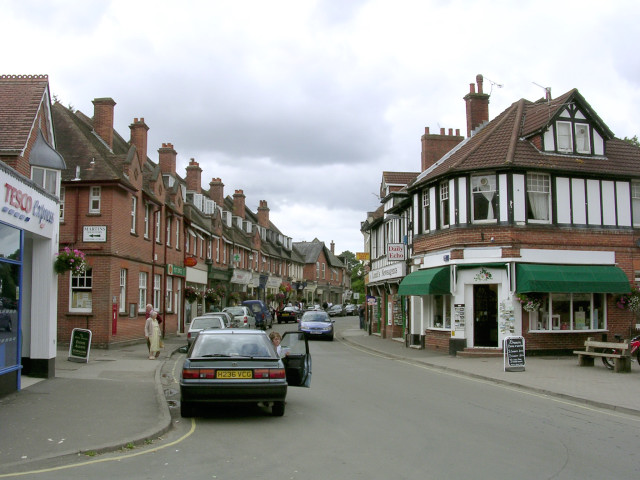
Brockenhurst
Brockenhurst is the largest village by population within the New Forest in Hampshire, England. The nearest city is Southampton some 13 miles (21 km) to...

Brockenhurst Church of England Primary School
Brockenhurst School, now Brockenhurst Church of England Primary School, is a former charity school in the English village of Brockenhurst, Hampshire. It...
Brockenhurst F.C.
Brockenhurst Football Club is a football club based in Brockenhurst, near Lymington, in Hampshire, England. They are currently members of the Wessex League...
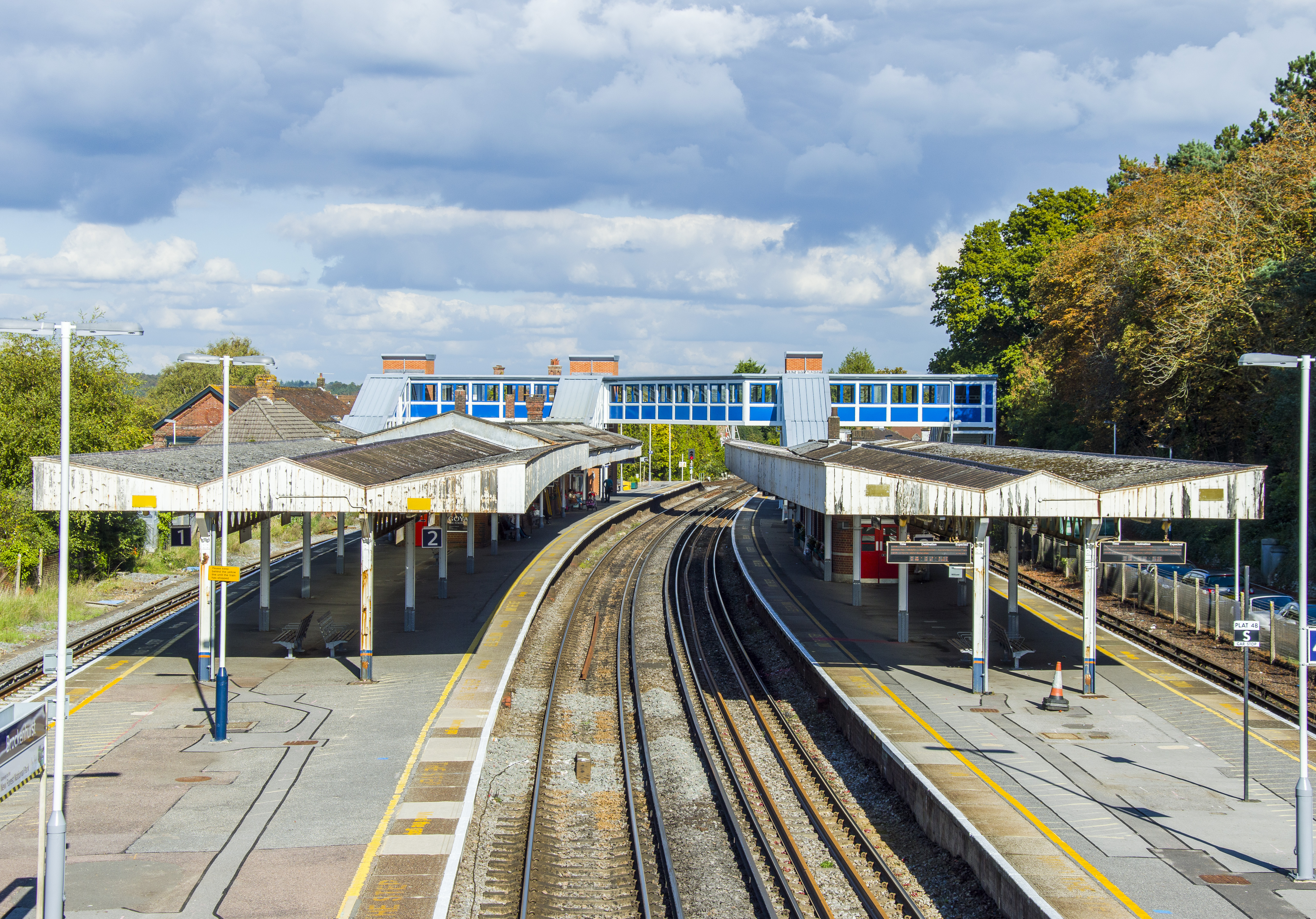
Brockenhurst railway station
Brockenhurst railway station serves the largest village of Brockenhurst in Hampshire, England. It is located on the South West Main Line from London Waterloo...

Lymington River SSSI
Lymington River SSSI is a 34.8-hectare (86-acre) biological and geological Site of Special Scientific Interest along Lymington River and its tributaries...

Knightwood Oak
The Knightwood Oak is a pedunculate oak and the largest, and perhaps most famous, oak tree in the New Forest, in southern England. It is also known as...
Nearby Amenities
Located within 500m of 50.825984,-1.6201727Have you been to Aldridge Hill?
Leave your review of Aldridge Hill below (or comments, questions and feedback).