Bonsall Moor
Downs, Moorland in Derbyshire Derbyshire Dales
England
Bonsall Moor
Bonsall Moor is a picturesque and expansive area of open countryside located in Derbyshire, England. Situated in the southern part of the Peak District National Park, it covers an area of approximately 1,200 acres and is known for its diverse landscape of downs and moorland.
The moorland is characterized by its rolling hills, heather-covered slopes, and scattered woodlands. It provides a habitat for a wide range of wildlife, including various species of birds such as red grouse, curlew, and lapwing, as well as mammals like hares and rabbits. The area is also home to several rare plant species, adding to its ecological significance.
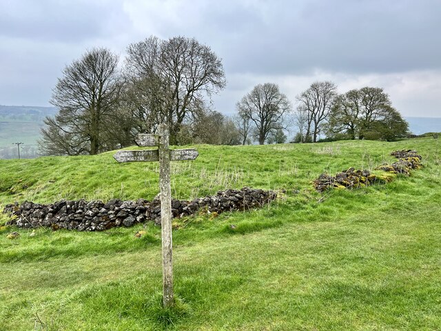
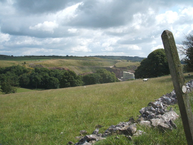
The elevated position of Bonsall Moor offers visitors stunning panoramic views of the surrounding countryside, including the nearby valleys and hillsides. It is a popular destination for hikers, nature enthusiasts, and photographers, who can explore the network of footpaths and trails that traverse the area. The moor is also intersected by several streams and small rivers, providing peaceful spots for picnicking or simply enjoying the tranquil atmosphere.
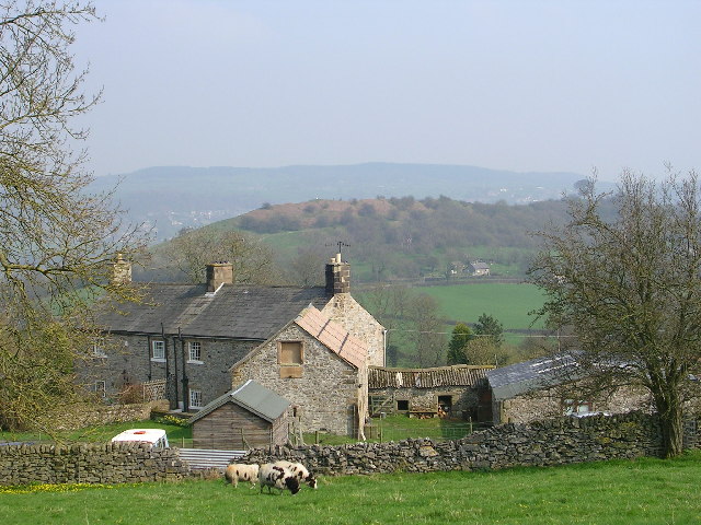
In addition to its natural beauty, Bonsall Moor has a rich history. Evidence of prehistoric settlements has been discovered in the area, including stone circles and burial mounds. The moorland was used for farming and grazing livestock for centuries, and remnants of old stone walls and farm buildings can still be seen today.
Overall, Bonsall Moor in Derbyshire offers visitors a combination of natural beauty, diverse wildlife, and historical significance, making it a captivating destination for those seeking to immerse themselves in the peacefulness of the countryside.
If you have any feedback on the listing, please let us know in the comments section below.
Bonsall Moor Images
Images are sourced within 2km of 53.128477/-1.6173124 or Grid Reference SK2559. Thanks to Geograph Open Source API. All images are credited.


Bonsall Moor is located at Grid Ref: SK2559 (Lat: 53.128477, Lng: -1.6173124)
Administrative County: Derbyshire
District: Derbyshire Dales
Police Authority: Derbyshire
What 3 Words
///galloping.scoring.tribal. Near Matlock, Derbyshire
Nearby Locations
Related Wikis

Beans and Bacon mine
The Beans and Bacon mine is a disused lead mine on Bonsall Moor near the village of Bonsall, Derbyshire, United Kingdom. The nearest large town is Matlock...
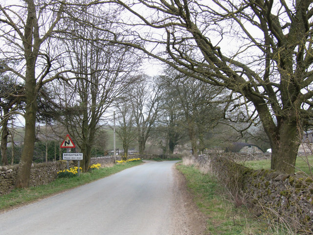
Brightgate
Brightgate is a village in Derbyshire, England. The population is recorded in the civil parish of Bonsall, Derbyshire. == References ==
Ivonbrook Grange
Ivonbrook Grange is a civil parish within the Derbyshire Dales district, in the county of Derbyshire, England. Largely rural, Ivonbrook Grange's population...
Wensley, Derbyshire
Wensley is a small village in South Darley parish in Derbyshire of limestone and gritstone properties mainly arranged along the single road which zig-zags...

Grangemill
Grangemill is a village in the English county of Derbyshire. The hamlet is made up of a cluster of houses, a farm and a pub called the Hollybush. There...

Winster Market House
Winster Market House is a building dating from the end of the 17th or beginning of the 18th centuries, and is situated in Winster, near Matlock, Derbyshire...

Ible
Ible (pronounced 'eyebull', or 'ib-ull') is a hamlet in Derbyshire, England, just within the Peak District National Park.It is near the Via Gellia valley...

Winster
Winster is a village in the English Derbyshire Dales about 5 miles (8 km) from Matlock and 6 miles (10 km) from Bakewell at an altitude of approximately...
Nearby Amenities
Located within 500m of 53.128477,-1.6173124Have you been to Bonsall Moor?
Leave your review of Bonsall Moor below (or comments, questions and feedback).