Blakelow Hill
Hill, Mountain in Derbyshire Derbyshire Dales
England
Blakelow Hill
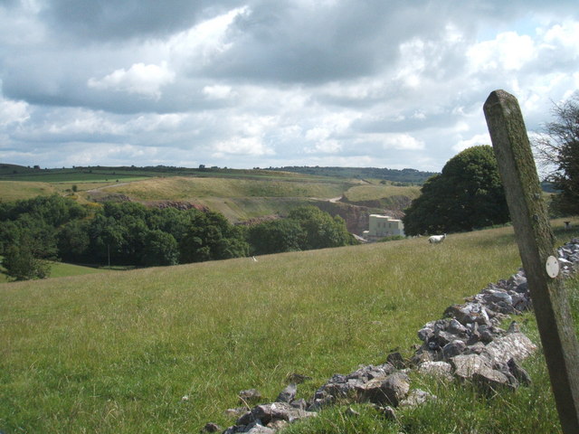
Blakelow Hill is a prominent feature located in Derbyshire, England. Situated near the village of Bonsall, it is a notable hill/mountain that stands at an elevation of approximately 305 meters (1,001 feet) above sea level. Offering breathtaking panoramic views of the surrounding countryside, Blakelow Hill is a popular destination for outdoor enthusiasts, nature lovers, and hikers.
The hill is characterized by its gentle slopes and is predominantly covered in lush green vegetation. It is home to a variety of flora and fauna, including heather, gorse, and a diverse range of bird species. Blakelow Hill is particularly renowned for its vibrant wildflower displays during the spring and summer months, attracting many nature enthusiasts.
The hill is easily accessible, with well-marked footpaths leading to its summit. Visitors can enjoy a leisurely hike or a more challenging trek, depending on their preferences and fitness levels. The summit rewards climbers with breathtaking views of the surrounding Peak District National Park, including nearby landmarks such as Carsington Water and the Derwent Valley.
Blakelow Hill also holds historical significance, with several Bronze Age burial mounds located in the vicinity. These ancient monuments add an air of mystery and intrigue to the area, attracting history buffs and archaeology enthusiasts.
Overall, Blakelow Hill is a captivating natural feature that offers a serene escape from the hustle and bustle of everyday life. Its picturesque landscapes, diverse wildlife, and rich historical heritage make it a must-visit destination for anyone exploring the Derbyshire region.
If you have any feedback on the listing, please let us know in the comments section below.
Blakelow Hill Images
Images are sourced within 2km of 53.131114/-1.6210254 or Grid Reference SK2559. Thanks to Geograph Open Source API. All images are credited.


Blakelow Hill is located at Grid Ref: SK2559 (Lat: 53.131114, Lng: -1.6210254)
Administrative County: Derbyshire
District: Derbyshire Dales
Police Authority: Derbyshire
What 3 Words
///lump.mend.riches. Near Matlock, Derbyshire
Nearby Locations
Related Wikis

Beans and Bacon mine
The Beans and Bacon mine is a disused lead mine on Bonsall Moor near the village of Bonsall, Derbyshire, United Kingdom. The nearest large town is Matlock...
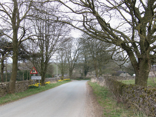
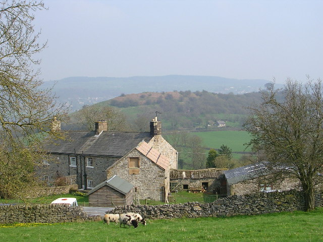
Brightgate
Brightgate is a village in Derbyshire, England. The population is recorded in the civil parish of Bonsall, Derbyshire. == References ==
Ivonbrook Grange
Ivonbrook Grange is a civil parish within the Derbyshire Dales district, in the county of Derbyshire, England. Largely rural, Ivonbrook Grange's population...

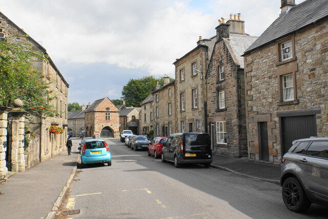
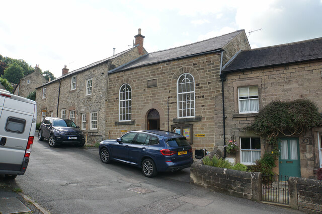
Winster Market House
Winster Market House is a building dating from the end of the 17th or beginning of the 18th centuries, and is situated in Winster, near Matlock, Derbyshire...

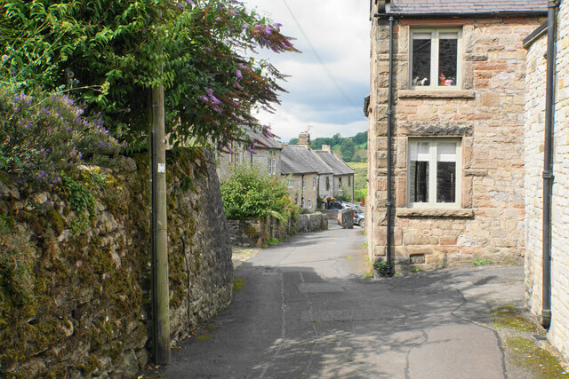
Winster
Winster is a village in the English Derbyshire Dales about 5 miles (8 km) from Matlock and 6 miles (10 km) from Bakewell at an altitude of approximately...
Wensley, Derbyshire
Wensley is a small village in South Darley parish in Derbyshire of limestone and gritstone properties mainly arranged along the single road which zig-zags...
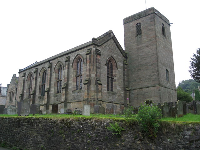
St John the Baptist's Church, Winster
St John the Baptist's Church, Winster is a Grade II listed parish church in the Church of England in Winster, Derbyshire. == History == The tower dates...

Grangemill
Grangemill is a village in the English county of Derbyshire. The hamlet is made up of a cluster of houses, a farm and a pub called the Hollybush. There...
Nearby Amenities
Located within 500m of 53.131114,-1.6210254Have you been to Blakelow Hill?
Leave your review of Blakelow Hill below (or comments, questions and feedback).