Hallam Moors
Downs, Moorland in Yorkshire
England
Hallam Moors
Hallam Moors, located in Yorkshire, England, is an expansive area of diverse natural beauty encompassing both downs and moorland. Stretching across approximately 15 square miles, the moors are characterized by their rolling hills, heather-covered landscapes, and vast open spaces.
The area offers a variety of habitats, making it a haven for wildlife enthusiasts and nature lovers. Home to numerous species of birds, including the iconic red grouse, Hallam Moors is a popular destination for birdwatchers. The moorland also supports a range of other wildlife, such as curlews, lapwings, and merlins, which thrive in its unique ecosystem.
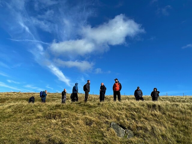
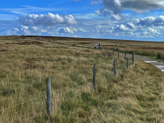
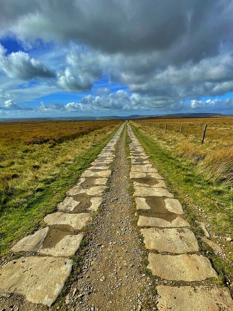
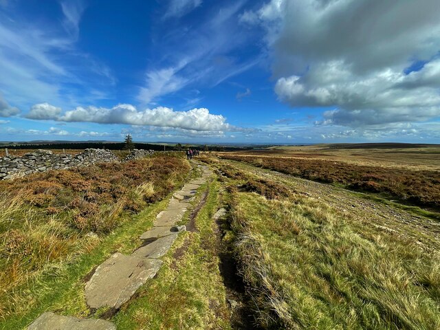
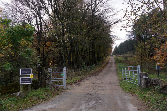
Visitors to Hallam Moors can explore its extensive network of footpaths and trails, which provide access to its stunning views and tranquil surroundings. The moors offer a sense of serenity and solitude, allowing visitors to escape the hustle and bustle of everyday life.
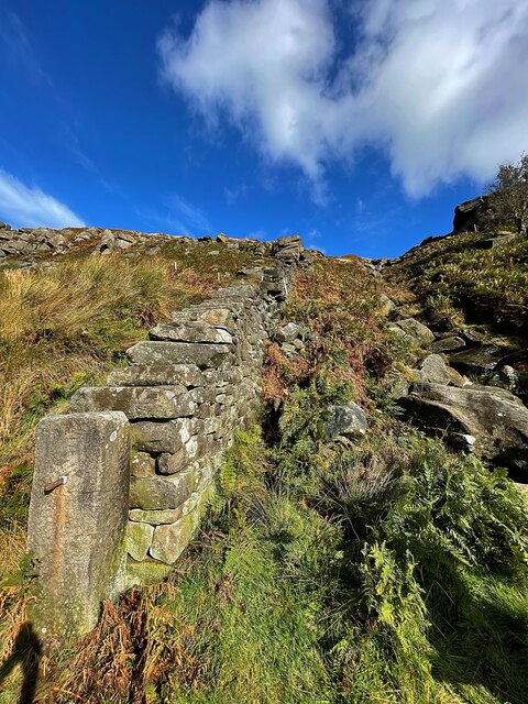
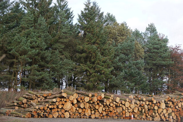
In addition to its natural beauty, Hallam Moors is steeped in history. Ancient burial mounds and stone circles can be found scattered across the landscape, providing a glimpse into the area's rich past. The moors have also played a crucial role in the local economy, with farming and sheep rearing being traditional practices that continue to this day.
Hallam Moors, with its picturesque scenery and unique wildlife, offers a captivating experience for those seeking to connect with nature and explore the history of the Yorkshire region. Whether hiking, birdwatching, or simply enjoying the peace and tranquility, visitors to Hallam Moors are sure to be enchanted by its natural wonders.
If you have any feedback on the listing, please let us know in the comments section below.
Hallam Moors Images
Images are sourced within 2km of 53.364604/-1.6226249 or Grid Reference SK2585. Thanks to Geograph Open Source API. All images are credited.
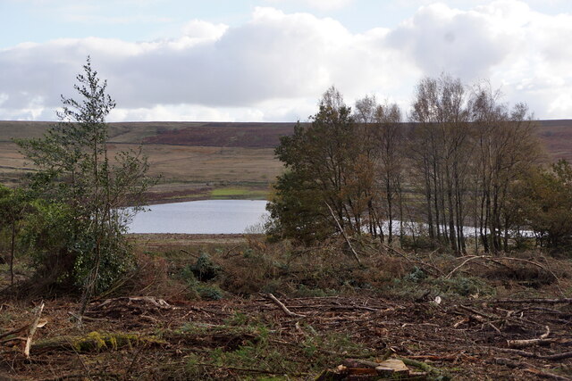
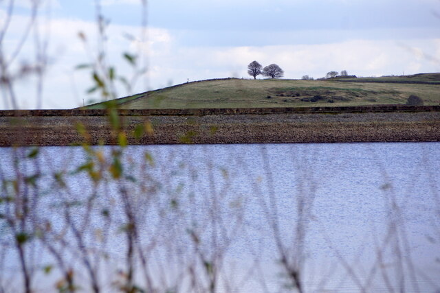
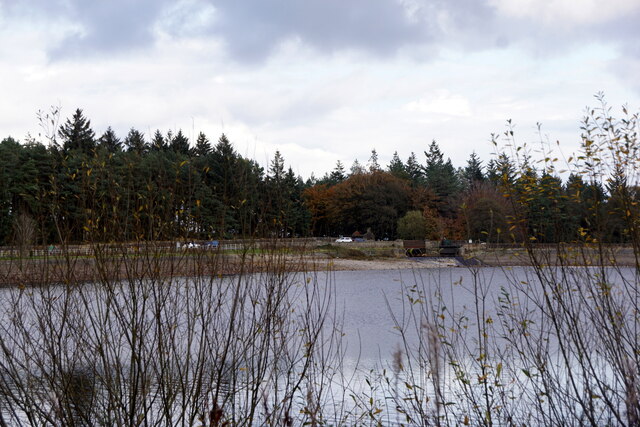
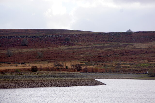
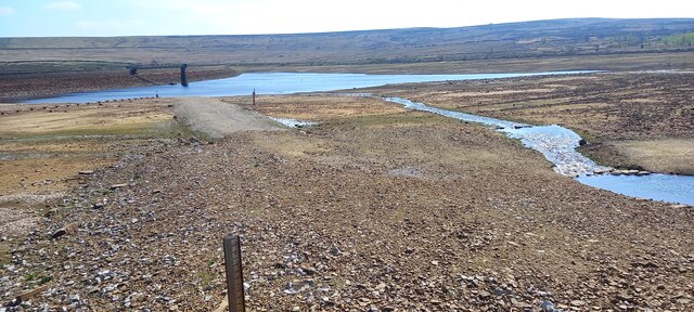
![Redmires Middle Reservoir One of a group of three reservoirs on the Hallam Moors. Looking very low after a dry summer though this would appear to be deliberate as the upper and lower reservoirs were much fuller <a href="https://www.geograph.org.uk/photo/6981481">SK2685 : Redmires Lower Reservoir</a>].](https://s3.geograph.org.uk/geophotos/06/98/14/6981479_5159f0d4.jpg)
Hallam Moors is located at Grid Ref: SK2585 (Lat: 53.364604, Lng: -1.6226249)
Division: West Riding
Unitary Authority: Sheffield
Police Authority: South Yorkshire
What 3 Words
///admiral.wings.album. Near Hathersage, Derbyshire
Nearby Locations
Related Wikis

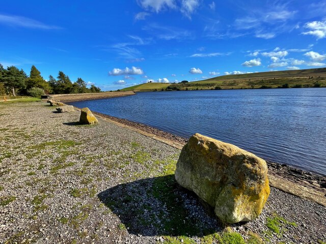
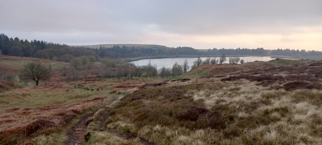
Redmires Reservoirs
The Redmires Reservoirs are a group of three reservoirs in Fulwood, Sheffield, South Yorkshire, England. They are fed from the Hallam Moors by various...

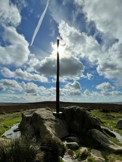
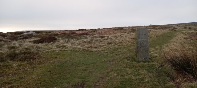
Stanedge Pole
Stanedge Pole also known as Stanage Pole (grid reference SK2468784429) is a landmark on Hallam Moors close to Stanage Edge in South Yorkshire, England...

Long Causeway
Long Causeway or Long Causey was a medieval packhorse route in England, which ran between Sheffield in South Yorkshire and Hathersage in Derbyshire. In...

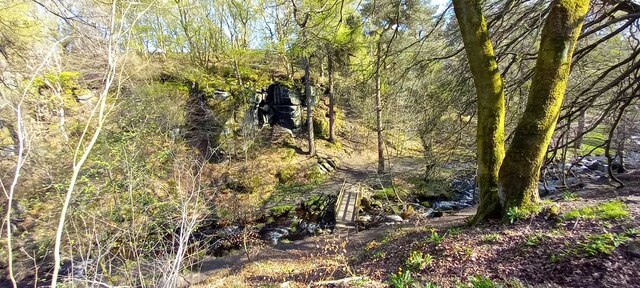
Wyming Brook
The Wyming Brook is a river in the City of Sheffield, England. Its source is the Redmires Reservoirs near the Hallam Moors. It flows in a north-easterly...
Nearby Amenities
Located within 500m of 53.364604,-1.6226249Have you been to Hallam Moors?
Leave your review of Hallam Moors below (or comments, questions and feedback).