High Gosforth Park
Downs, Moorland in Northumberland
England
High Gosforth Park
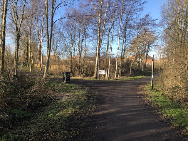
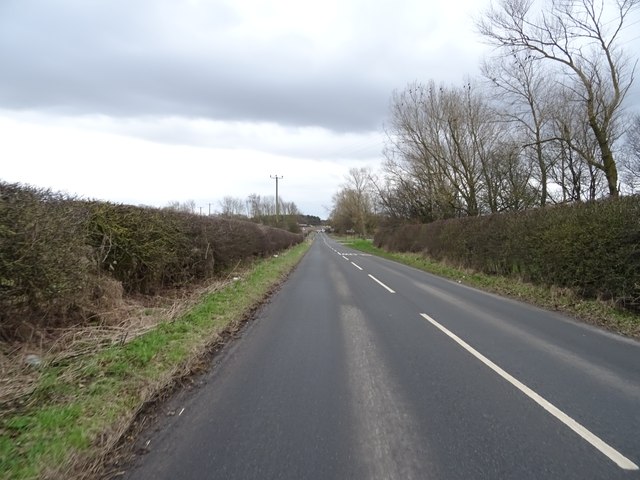
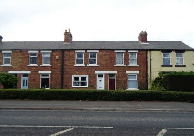
High Gosforth Park is a sprawling green space located in the county of Northumberland, England. Covering an area of approximately 600 acres, it is a natural haven for wildlife and a popular destination for outdoor enthusiasts. The park consists of a diverse landscape, including downs and moorland, providing visitors with an array of recreational opportunities.
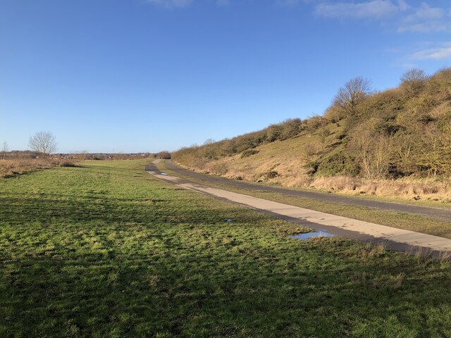
The downs in High Gosforth Park are characterized by their gently rolling hills and lush grasslands. These open spaces are ideal for activities such as picnicking, kite flying, and frisbee. The downs also offer stunning panoramic views of the surrounding countryside, making them a favorite spot for photography enthusiasts.
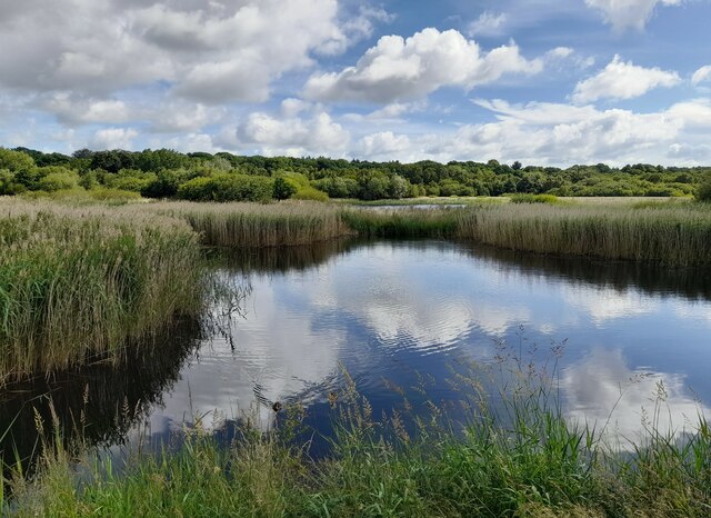
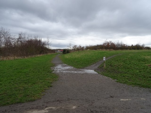
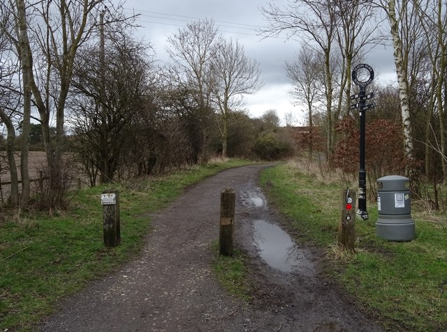
In contrast, the moorland area of High Gosforth Park is a wild and rugged terrain. Here, visitors can explore vast expanses of heather-covered hills and expansive bogs. The moorland is home to a variety of plant and animal species, including rare birds like curlews and merlins. Hiking and nature walks are popular activities in this area, allowing visitors to immerse themselves in the natural beauty and tranquility of the park.
High Gosforth Park is not only a haven for wildlife but also a significant cultural site. It is home to the prestigious Newcastle Racecourse, which hosts numerous horse racing events throughout the year. The racecourse attracts thousands of spectators who come to witness thrilling races and enjoy the vibrant atmosphere.
Overall, High Gosforth Park offers a diverse and captivating landscape, combining downs and moorland to create a unique natural setting. Whether visitors seek relaxation, outdoor activities, or cultural experiences, this Northumberland gem has something to offer for everyone.
If you have any feedback on the listing, please let us know in the comments section below.
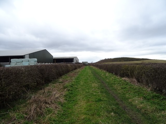
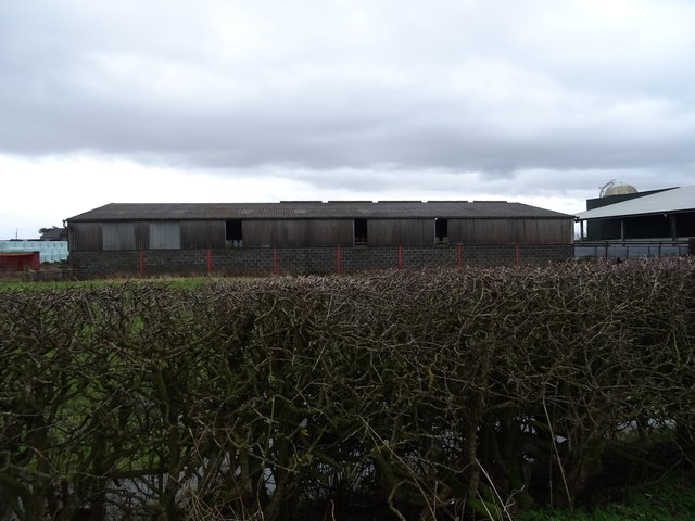
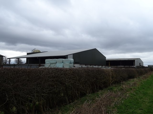
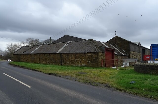
High Gosforth Park Images
Images are sourced within 2km of 55.031479/-1.6073395 or Grid Reference NZ2570. Thanks to Geograph Open Source API. All images are credited.

High Gosforth Park is located at Grid Ref: NZ2570 (Lat: 55.031479, Lng: -1.6073395)
Unitary Authority: Newcastle upon Tyne
Police Authority: Northumbria
What 3 Words
///case.rainy.police. Near Wideopen, Northumberland
Nearby Locations
Related Wikis
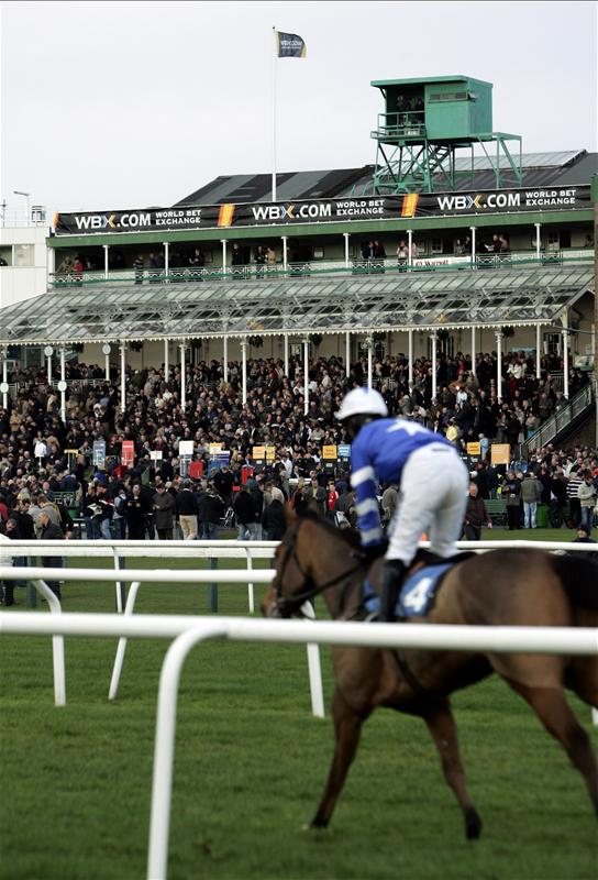
Newcastle Racecourse
Newcastle Racecourse is a horse racing course located at Gosforth Park in Newcastle upon Tyne, England, owned by Arena Racing Company. It stages both flat...
Gosforth Park
Gosforth Park is a park north of Gosforth in the city of Newcastle upon Tyne, England. It houses Newcastle Racecourse, Virgin Money Unity Arena, a Britannia...

Gosforth Nature Reserve
Gosforth Nature Reserve is a wildlife haven in Tyne and Wear, England. It includes extensive woodland and wetland habitats and is managed by the Natural...

Gosforth House
Gosforth House now known as Brandling House is a Grade II listed building built as a mansion house and now serving as a hospitality and conference centre...
Nearby Amenities
Located within 500m of 55.031479,-1.6073395Have you been to High Gosforth Park?
Leave your review of High Gosforth Park below (or comments, questions and feedback).