Lower Common
Downs, Moorland in Yorkshire
England
Lower Common
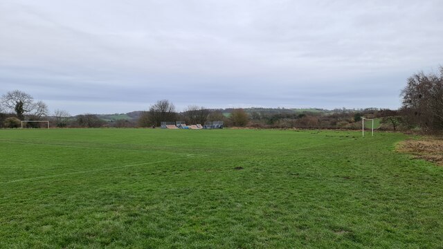
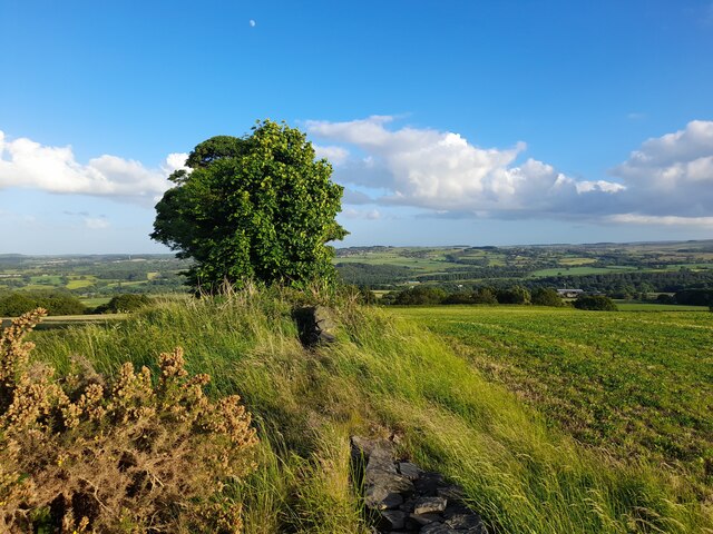
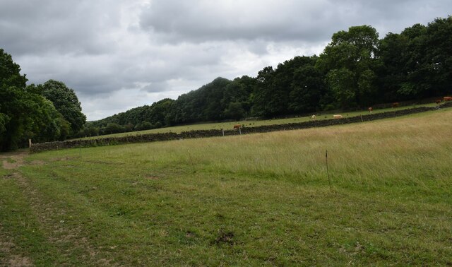
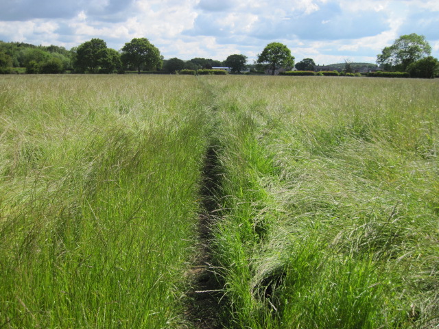
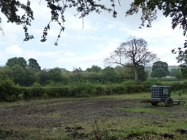
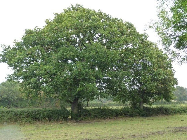
Lower Common is a picturesque region located in the county of Yorkshire, England. Situated amidst the stunning landscape of the Yorkshire Downs and Moorland, this area offers a captivating blend of natural beauty and rural charm. It spans across several square kilometers, encompassing rolling hills, vast open fields, and scattered woodlands.
The captivating scenery of Lower Common attracts nature enthusiasts, hikers, and photographers who are drawn to its tranquil atmosphere and breathtaking vistas. The Yorkshire Downs, with their undulating hills, offer panoramic views that extend for miles, while the Moorland boasts a unique ecosystem with heather-covered moors and peat bogs.
Wildlife is abundant in Lower Common, with a diverse range of species inhabiting the area. Visitors can often spot native animals such as red grouse, curlews, and hares, as well as occasional sightings of roe deer and birds of prey soaring above.
The region also features several walking trails and footpaths, allowing visitors to explore the area at their own pace. These routes meander through the countryside, offering glimpses of ancient stone structures, historic landmarks, and quaint villages nestled within the landscape.
Lower Common is not heavily populated, with only a few scattered farms and residential properties dotting the area. This lends itself to a peaceful and idyllic ambiance, making it an ideal destination for those seeking a tranquil retreat away from the bustle of city life.
Overall, Lower Common, Yorkshire Downs, Moorland is a captivating region that showcases the natural beauty and rural charm of Yorkshire, offering visitors a serene escape into the heart of the English countryside.
If you have any feedback on the listing, please let us know in the comments section below.
Lower Common Images
Images are sourced within 2km of 53.588771/-1.6205717 or Grid Reference SE2510. Thanks to Geograph Open Source API. All images are credited.


Lower Common is located at Grid Ref: SE2510 (Lat: 53.588771, Lng: -1.6205717)
Division: West Riding
Unitary Authority: Kirklees
Police Authority: West Yorkshire
What 3 Words
///impulsive.crimson.dormant. Near Clayton West, West Yorkshire
Nearby Locations
Related Wikis
Scissett
Scissett is a village in West Yorkshire, England. It is 8 miles (13 km) south-east of Huddersfield and 10 miles (16 km) north-west of Barnsley. According...

Clayton West
Clayton West is a village in the parish of Denby Dale, in Kirklees, West Yorkshire, England. It had a population of 4.386 (2021 census) and 2,704 in 2008...

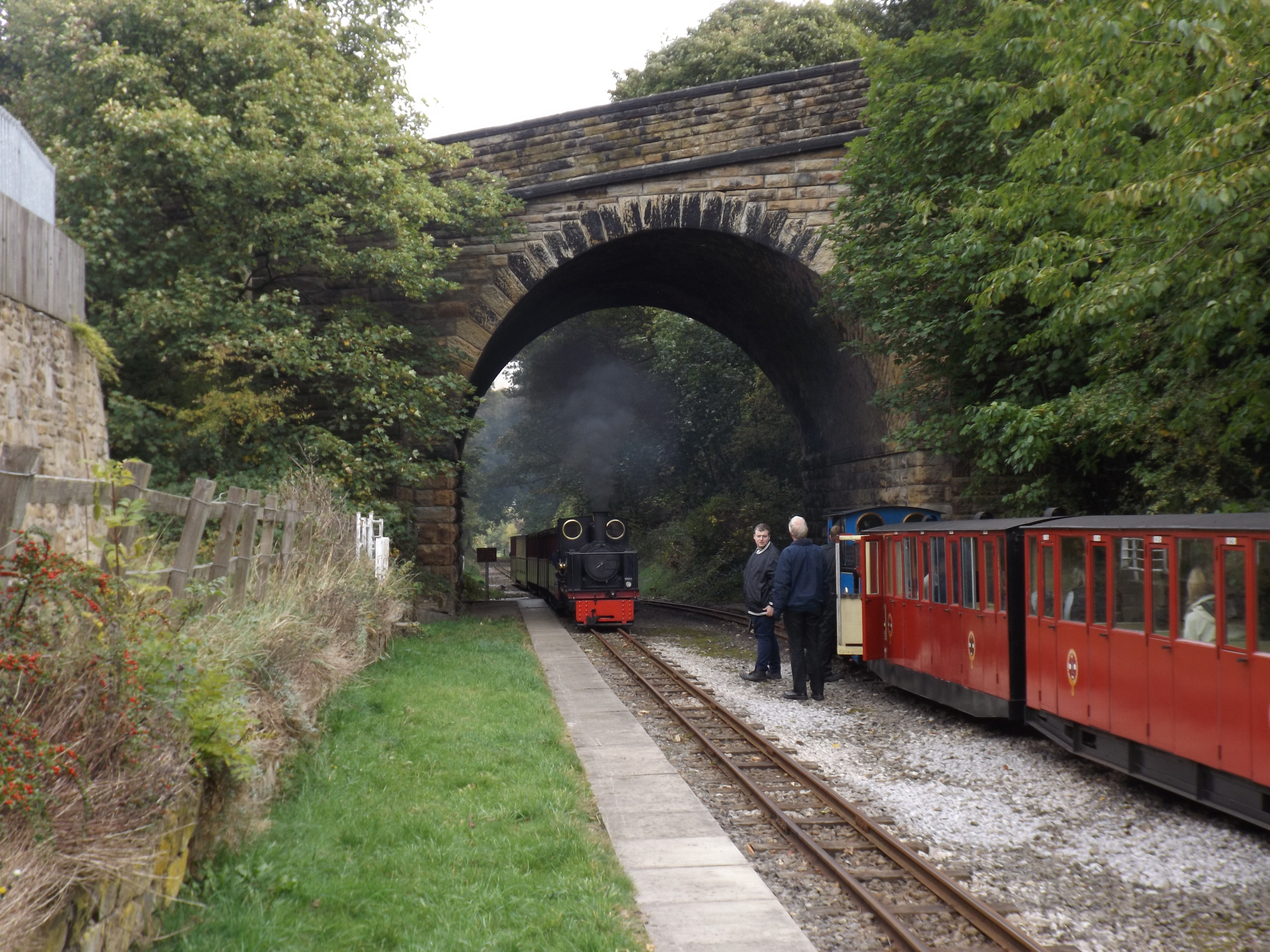
Whistlestop Valley
Whistlestop Valley, formerly the Kirklees Light Railway, is a visitor attraction featuring a 3+1⁄2-mile (5.6 km) long 15 in (381 mm) gauge minimum gauge...

Clayton West branch line
The Clayton West branch line was a standard gauge passenger and freight railway near Huddersfield, in West Yorkshire, England. The line was built by the...
Clayton West railway station
Clayton West railway station is a station that was previously on the national rail network (until 1983) and now forms the eastern terminus of the Whistlestop...

Cuckoos Nest railway station
Cuckoos Nest railway station is a station/halt on the Minimum Gauge Whistlestop Valley in West Yorkshire, Northern England. It also serves the village...
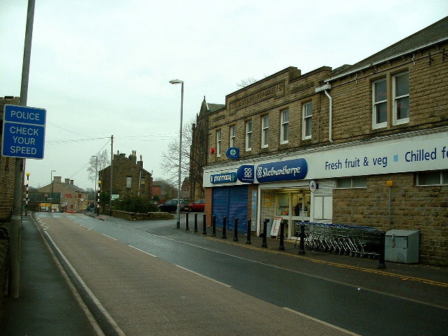
Skelmanthorpe
Skelmanthorpe is a village in the Denby Dale civil parish, in the metropolitan borough of Kirklees, in West Yorkshire, England. It is 8 miles (13 km)...
Skelmanthorpe railway station
Skelmanthorpe railway station is a station in West Yorkshire, England, that was previously part of the national rail network, and is now a station on the...
Nearby Amenities
Located within 500m of 53.588771,-1.6205717Have you been to Lower Common?
Leave your review of Lower Common below (or comments, questions and feedback).