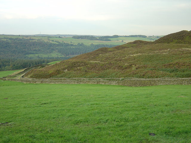
Cowell Flat

Downs, Moorland in Yorkshire

England

Cowell Flat

Trig Point at Emlin near Low Bradfield The easiest way to reach this summit is from the south via the Grouse Butts and Emlin Ridge. A good grassy track runs almost the whole way.
Trig Point at Emlin near Low Bradfield Credit: Colin Park

The requested URL returned error: 429 Too Many Requests

If you have any feedback on the listing, please let us know in the comments section below.
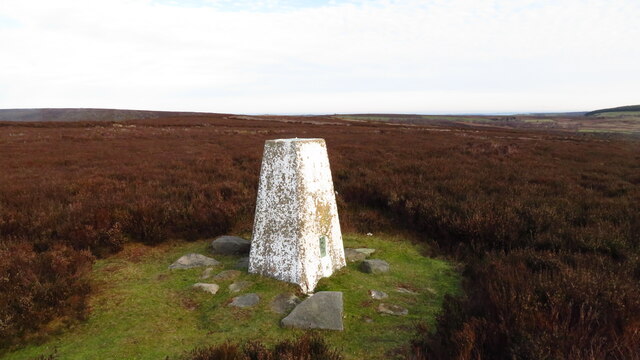
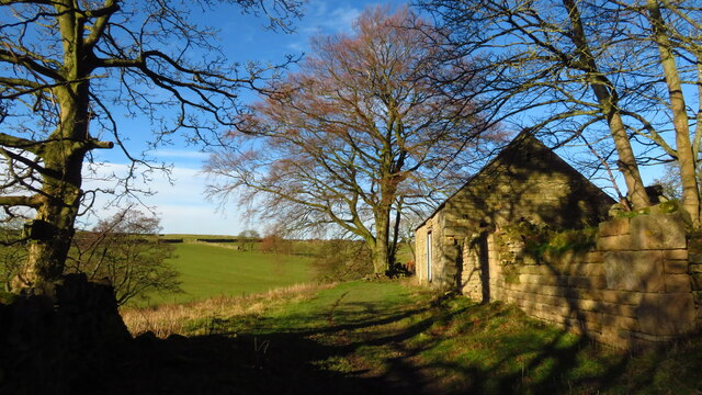
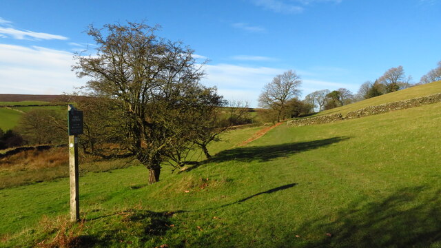
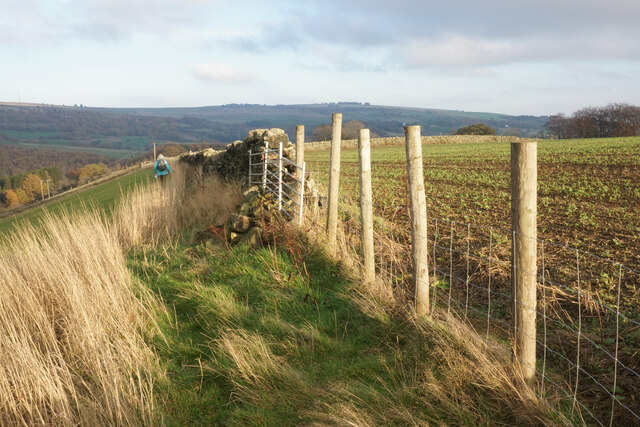
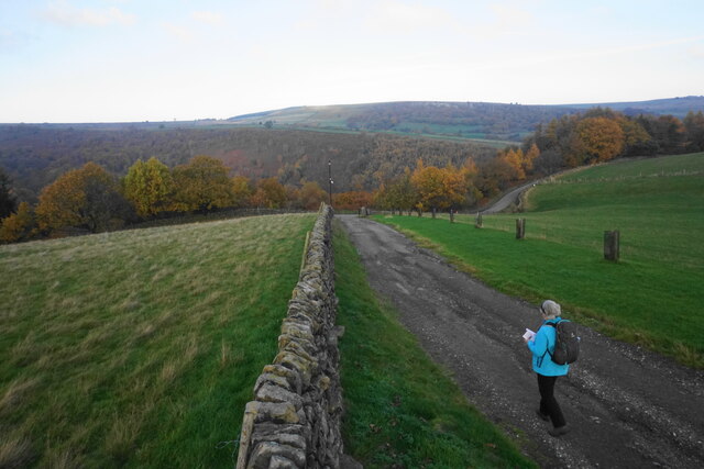
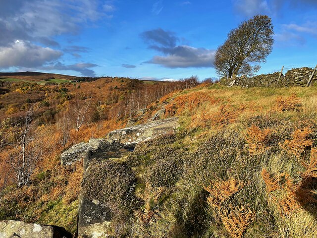
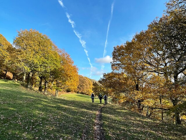
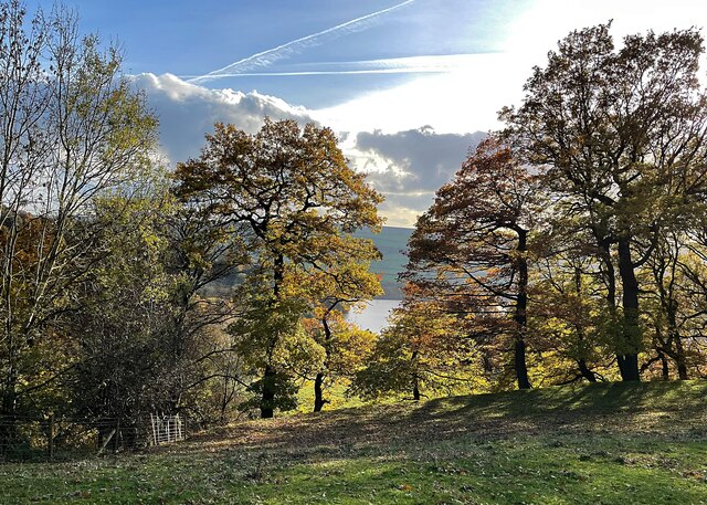
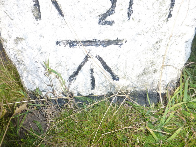
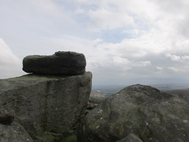
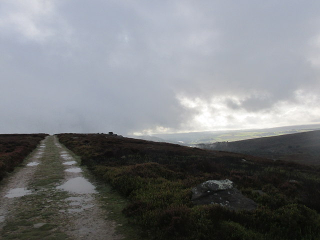
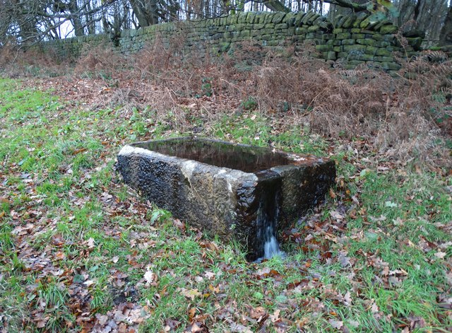
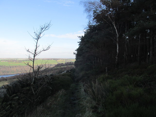
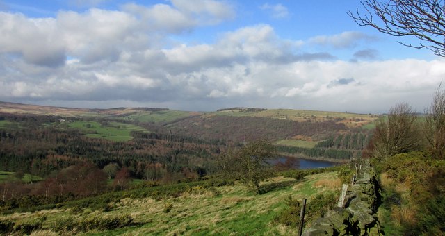
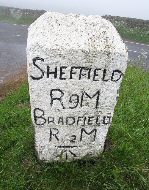
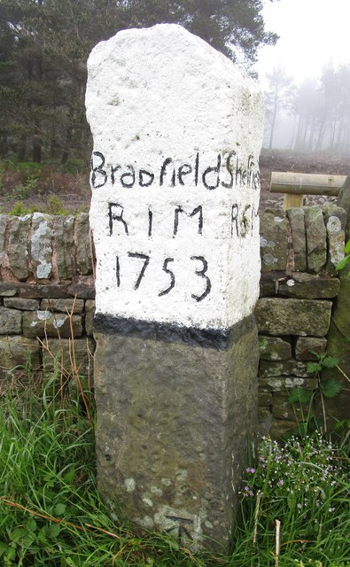
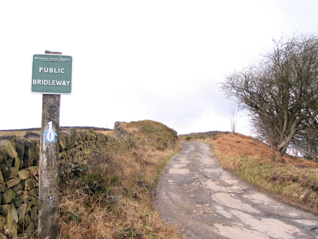
Cowell Flat Images

Images are sourced within 2km of 53.443424/-1.6223488 or Grid Reference SK2594. Thanks to Geograph Open Source API. All images are credited.

Trig Point at Emlin near Low Bradfield The easiest way to reach this summit is from the south via the Grouse Butts and Emlin Ridge. A good grassy track runs almost the whole way.
Trig Point at Emlin near Low Bradfield
The easiest way to reach this summit is from the south via the Grouse Butts and Emlin Ridge. A good grassy track runs almost the whole way.
Ruinous farm at Rocher Head near High Bradfield
Footpath sign & farmland between Rocher Head & Rocher Wood, High Bradfield
Lonely Scot's Pine on Bradfield Moors Scot's Pine on the southern side of Emlin Dike on Bradfield Moors. Thornseat Lodge conifer plantation on the right, and Damflask reservoir in the far distance.
Lonely Scot's Pine on Bradfield Moors
Scot's Pine on the southern side of Emlin Dike on Bradfield Moors. Thornseat Lodge conifer plantation on the right, and Damflask reservoir in the far distance.
Footpath on Wilkin Hill This path doesn't appear on my OS map but is a useful addition.
Footpath on Wilkin Hill
This path doesn't appear on my OS map but is a useful addition.
Track on Wilkin Hill The track comes from Woodseats Farm and is joined by a footpath at this point. The Agden valley is down below.
Track on Wilkin Hill
The track comes from Woodseats Farm and is joined by a footpath at this point. The Agden valley is down below.
Broomhead Reservoir in the winter sunshine
Solitary wind blown tree on Agden Side
Autumn colour at Rocher Wood
Autumn trees above Agden Reservoir
Cut Mark Broomhead Moor Milestone
Hurkling stones. Close to the Dukes road path.
Hurkling stones.
Close to the Dukes road path.
The Dukes road. A moorland track.
The Dukes road.
A moorland track.
Old stone trough by Mortimer Road
Path alongside White Lee Moor plantation Walking back to More Hall reservoir.
Path alongside White Lee Moor plantation
Walking back to More Hall reservoir.
Wallside path. Dropping down to Walker Edge.
Wallside path.
Dropping down to Walker Edge.
Milestone - Sheffield 9 There is an OS cut mark on the SW face. It marks a point 351.117m above mean sea level.
Milestone - Sheffield 9
There is an OS cut mark on the SW face. It marks a point 351.117m above mean sea level.
Milestone - Sheffield 6 There is an OS cut mark on the SW face. It marks a point 366.848m above mean sea level.
Milestone - Sheffield 6
There is an OS cut mark on the SW face. It marks a point 366.848m above mean sea level.
Show me another place!

Cowell Flat is located at Grid Ref: SK2594 (Lat: 53.443424, Lng: -1.6223488)

Division: West Riding

Unitary Authority: Sheffield

Police Authority: South Yorkshire

What 3 Words

///salads.curry.sharp. Near Bradfield, South Yorkshire

Nearby Locations

Cowell Flat

Related Wikis

Canyards Hills

Canyards Hills (grid reference SK250950) is a 64.1 hectare (158.4 acre) biological and geological site of Special Scientific Interest in South Yorkshire...

Agden Reservoir

Agden Reservoir is a water storage reservoir, situated at grid reference SK260925, 6.5 miles (10 km) west of the centre of Sheffield, South Yorkshire,...

Broomhead Hall

Broomhead Hall was a large English country house that stood in the Ewden valley, to the west of Sheffield, England. The hall stood near the hamlet of Wigtwizzle...

Wigtwizzle

Wigtwizzle is a hamlet in the civil parish of Bradfield, in South Yorkshire, England. The hamlet is 6 miles (9.7 km) south of Penistone, and 12 miles...

Nearby Amenities

Located within 500m of 53.443424,-1.6223488
Barrier: stile
Lat/Long: 53.4400182/-1.6185336
Agden Side
Place: locality
Lat/Long: 53.4410607/-1.6265344
Cowell Flat
Place: locality
Lat/Long: 53.4438172/-1.6199554
Barrier: stile
Lat/Long: 53.4400884/-1.6200816
Barrier: stile
Lat/Long: 53.4400361/-1.6183932
Parking
Capacity: 10
Lat/Long: 53.4395553/-1.6188168
Barrier: stile
Lat/Long: 53.4427741/-1.6281325
Power: pole
Lat/Long: 53.4450084/-1.6166859
Power: pole
Lat/Long: 53.4426888/-1.6187353
Power: pole
Lat/Long: 53.4438226/-1.6177104
Smallfield Roof
Climbing: crag
Climbing Boulder: yes
Climbing Rock: gritstone
Natural: rock
Sport: climbing
Lat/Long: 53.4415712/-1.6238656
Power: pole
Lat/Long: 53.4403527/-1.6208048
Power: pole
Lat/Long: 53.4415765/-1.6197207
Power: pole
Lat/Long: 53.4390171/-1.6232767
Power: pole
Lat/Long: 53.4394857/-1.6241197
Power: pole
Lat/Long: 53.4413925/-1.6275155
Power: pole
Lat/Long: 53.4399375/-1.6249522
Power: pole
Lat/Long: 53.4416044/-1.6287984
The data included in this document is from www.openstreetmap.org. The data is made available under ODbL.

Have you been to Cowell Flat?

Leave your review of Cowell Flat below (or comments, questions and feedback).