Tidworth Down

Downs, Moorland in Wiltshire

England

Tidworth Down

Windmillhill Down, Wiltshire Windmillhill after a rain storm.
Windmillhill Down, Wiltshire Credit: Rebecca A Wills

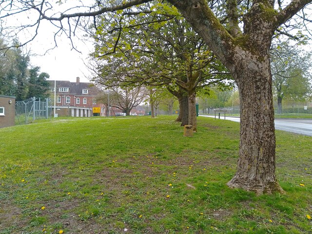
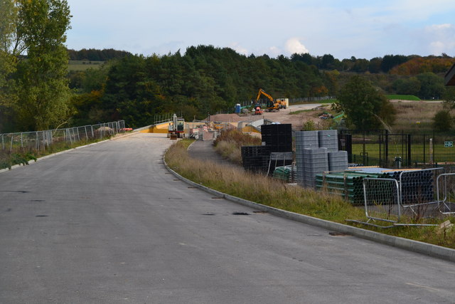
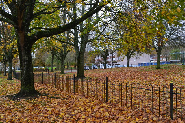
Tidworth Down is a prominent geographical feature located in the county of Wiltshire, England. Situated on the eastern edge of Salisbury Plain, it encompasses a vast area of downs and moorland, spanning approximately 3,000 acres. This extensive landscape offers breathtaking views of the surrounding countryside and is known for its natural beauty and diverse wildlife.

The downs of Tidworth Down are characterized by gently rolling hills covered in short grass and scattered with patches of shrubs and small trees. These open spaces provide a habitat for a variety of plant species such as wildflowers, thistles, and heather. The moorland, on the other hand, is characterized by large expanses of rough grassland, heath, and boggy areas, creating a unique environment for a range of bird species, including skylarks and plovers.

The area is a popular destination for outdoor enthusiasts, offering numerous walking trails and opportunities for birdwatching and nature photography. The Tidworth Down Nature Reserve, managed by the Wiltshire Wildlife Trust, provides additional protection for the local flora and fauna, ensuring the preservation of this important ecosystem.

Historically, Tidworth Down has played a significant role as a military training ground since the late 19th century. The military presence in the area has shaped the landscape, with the occasional sighting of military vehicles and facilities. However, efforts have been made to minimize the impact on the natural environment and maintain a balance between military activities and conservation.

Overall, Tidworth Down in Wiltshire is a remarkable landscape that seamlessly combines natural beauty with its military heritage, offering visitors a unique and enriching experience.

If you have any feedback on the listing, please let us know in the comments section below.

Tidworth Down Images

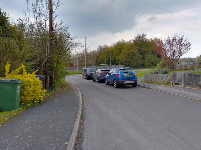
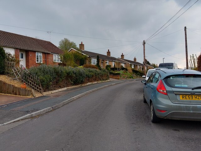
Images are sourced within 2km of 51.250275/-1.640876 or Grid Reference SU2550. Thanks to Geograph Open Source API. All images are credited.

Windmillhill Down, Wiltshire Windmillhill after a rain storm.
Windmillhill Down, Wiltshire
Windmillhill after a rain storm.
Ludgershall - Disused Railway Bridge Bridge north west of Ludgershall, previous part of the disused Midland and South Western Junction Railway. A footpath between A342 and Collingbourne Woods runs beneath.
Ludgershall - Disused Railway Bridge
Bridge north west of Ludgershall, previous part of the disused Midland and South Western Junction Railway. A footpath between A342 and Collingbourne Woods runs beneath.
Beech Hill Road, Tidworth Beech Hill Road is a road between Tidworth Road and Hawthorn Road in Tidworth. It also connects to Cherry Tree Avenue.
Beech Hill Road, Tidworth
Beech Hill Road is a road between Tidworth Road and Hawthorn Road in Tidworth. It also connects to Cherry Tree Avenue.
Beech Hill Road, Tidworth Beech Hill Road is a road between Tidworth Road and Hawthorn Road in Tidworth. It also connects to Cherry Tree Avenue.
Beech Hill Road, Tidworth
Beech Hill Road is a road between Tidworth Road and Hawthorn Road in Tidworth. It also connects to Cherry Tree Avenue.
Halton Road, Perham Down Halton Road is a road in Perham Down off Somme Road, leading to Wouldham Close and Upnor Close.
Halton Road, Perham Down
Halton Road is a road in Perham Down off Somme Road, leading to Wouldham Close and Upnor Close.
Verge beside Perham Down Road A large verge beside Perham Down Road. The white building is a nursery. To the left is Swinton Barracks.
Verge beside Perham Down Road
A large verge beside Perham Down Road. The white building is a nursery. To the left is Swinton Barracks.
Perham Down Community Centre and Swinton Barracks Welfare Office A building with two uses in Perham Down.
Perham Down Community Centre and Swinton Barracks Welfare Office
A building with two uses in Perham Down.
Verge beside Perham Down Road A large verge beside Perham Down Road. Both sides of the road are parts of Swinton Barracks.
Verge beside Perham Down Road
A large verge beside Perham Down Road. Both sides of the road are parts of Swinton Barracks.
Wellington Primary Academy, Tidworth
New link road under construction north of new housing at Tidworth
Autumn leaves beside Kennet Road
A338 through Tidworth A largely military town.
A338 through Tidworth
A largely military town.
Road from Perham Down to Tidworth
Road towards Tidworth at Perham Down Passing through military barracks areas.
Road towards Tidworth at Perham Down
Passing through military barracks areas.
Road towards Perham Down and Tidworth Through an area of managed access military land.
Road towards Perham Down and Tidworth
Through an area of managed access military land.
Road towards Perham Down and Tidworth The sign in the distance announces Wiltshire at the border with Hampshire.
Road towards Perham Down and Tidworth
The sign in the distance announces Wiltshire at the border with Hampshire.
Remains of earthworks at Ludgershall Castle
The Queens Head, Ludgershall
Show me another place!

Tidworth Down is located at Grid Ref: SU2550 (Lat: 51.250275, Lng: -1.640876)

Unitary Authority: Wiltshire

Police Authority: Wiltshire

What 3 Words

///hike.names.waged. Near Ludgershall, Wiltshire

Related Wikis

Perriam Down

Perriam Down or Perriam Downs, near Ludgershall, Wiltshire, England was a venue for five first-class cricket matches and at least three other matches between...

Perham Down

Perham Down is a village in Wiltshire, England, in Tidworth parish on the eastern edge of Salisbury Plain. It lies on a minor road about 1+1⁄2 miles (2...

Swinton Barracks

Swinton Barracks is a military installation accommodating two engineer regiments and a signals regiment at Perham Down in Wiltshire, England. The site...

Ludgershall railway station, Wiltshire

Ludgershall railway station was a railway station which served the town of Ludgershall in Wiltshire, England from 1882 to 1961. == History == The station...

Nearby Amenities

Located within 500m of 51.250275,-1.640876
Castledown Sports Centre
Is In: Ludgershall
Leisure: sports_centre
Postal Code: SP11 9RR
Lat/Long: 51.2515418/-1.6377045
Railway: level_crossing
Lat/Long: 51.2517135/-1.6354849
Railway: level_crossing
Lat/Long: 51.2516602/-1.6354245
Generator Output Electricity: yes
Generator Source: solar
Generator Type: solar_photovoltaic_panel
Location: roof
Power: generator
Lat/Long: 51.2531208/-1.6382182
Generator Output Electricity: yes
Generator Source: solar
Generator Type: solar_photovoltaic_panel
Location: roof
Power: generator
Lat/Long: 51.2524593/-1.6381457
Traffic Signals
Traffic Signals: pedestrian_crossing
Lat/Long: 51.2512527/-1.6364534
Crossing
Lat/Long: 51.2514295/-1.6361938
Pickpit Hill
Ele: 175
Natural: peak
Lat/Long: 51.2498584/-1.6477454
Natural: shrub
Lat/Long: 51.2477794/-1.638811
The data included in this document is from www.openstreetmap.org. The data is made available under ODbL.

Have you been to Tidworth Down?

Leave your review of Tidworth Down below (or comments, questions and feedback).