Windmillhill Down
Downs, Moorland in Wiltshire
England
Windmillhill Down

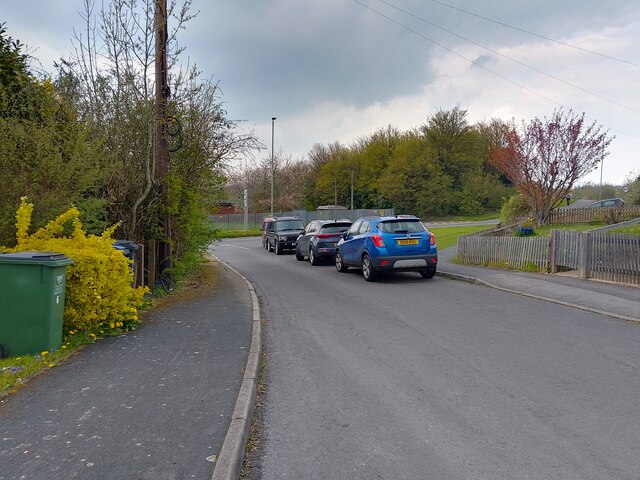
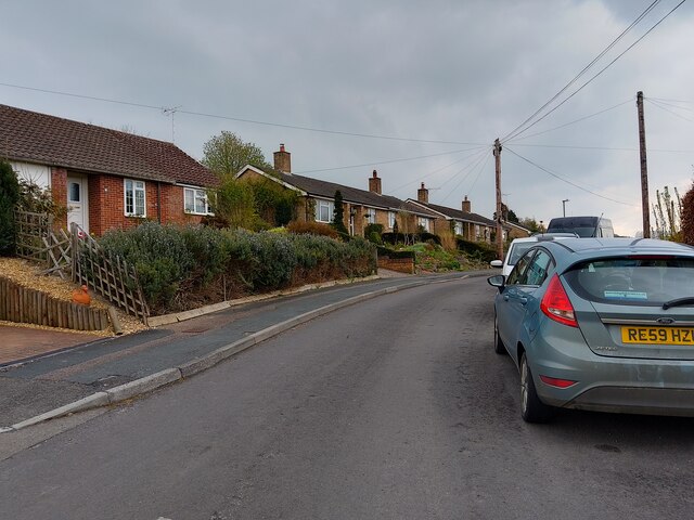
Windmillhill Down is a prominent geographical feature located in Wiltshire, England. Covering an area of approximately 250 hectares, it is part of a larger expanse of chalk downland known as the Marlborough Downs. The down is situated near the village of Avebury and is a popular destination for outdoor enthusiasts and nature lovers.
The landscape of Windmillhill Down is characterized by gently rolling hills, scattered with a diverse range of flora and fauna. The area is primarily covered in grasses and wildflowers, including species such as cowslips, harebells, and orchids. The downland is also home to a variety of insects, birds, and mammals, making it a haven for wildlife.
At the top of Windmillhill Down, a Bronze Age round barrow can be found, a testament to the area's rich history. The down also offers breathtaking panoramic views of the surrounding countryside, including the nearby Avebury Stone Circle, which is a UNESCO World Heritage Site.
Visitors to Windmillhill Down can enjoy a multitude of activities, including walking, hiking, and birdwatching. The down is crisscrossed by a network of footpaths and bridleways, providing ample opportunities to explore the area. Additionally, the downland is a popular spot for picnicking and stargazing due to its remote location and lack of light pollution.
In conclusion, Windmillhill Down is a picturesque and ecologically diverse area in Wiltshire, offering visitors a chance to immerse themselves in the natural beauty of the Marlborough Downs and explore its fascinating history.
If you have any feedback on the listing, please let us know in the comments section below.
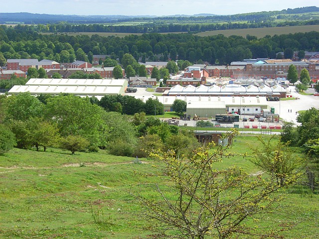
Windmillhill Down Images
Images are sourced within 2km of 51.257249/-1.6455794 or Grid Reference SU2450. Thanks to Geograph Open Source API. All images are credited.


Windmillhill Down is located at Grid Ref: SU2450 (Lat: 51.257249, Lng: -1.6455794)
Unitary Authority: Wiltshire
Police Authority: Wiltshire
What 3 Words
///faces.bonds.efficient. Near Ludgershall, Wiltshire
Nearby Locations
Related Wikis

Ludgershall Castle
Ludgershall Castle is a ruined 12th-century fortified royal residence at Ludgershall in Wiltshire, England. Three large walls still remain of the castle...

Perriam Down
Perriam Down or Perriam Downs, near Ludgershall, Wiltshire, England was a venue for five first-class cricket matches and at least three other matches between...
Ludgershall, Wiltshire
Ludgershall ( LUG-ər-shawl, with a hard g) is a town and civil parish 16 miles (26 km) north east of Salisbury, Wiltshire, England. It is on the A342 road...

Ludgershall railway station, Wiltshire
Ludgershall railway station was a railway station which served the town of Ludgershall in Wiltshire, England from 1882 to 1961. == History == The station...
Perham Down
Perham Down is a village in Wiltshire, England, in Tidworth parish on the eastern edge of Salisbury Plain. It lies on a minor road about 1+1⁄2 miles (2...

Swinton Barracks
Swinton Barracks is a military installation accommodating two engineer regiments at Perham Down in Wiltshire, England. The site is on the east edge of...

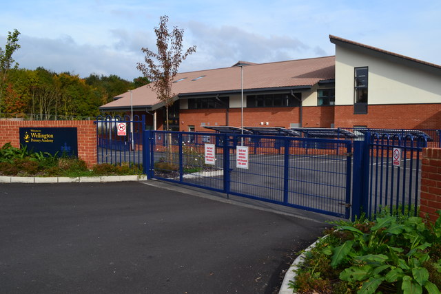
The Wellington Academy
The Wellington Academy, founded in 2009, is an 11–19 non-selective state-funded school near Ludgershall, Wiltshire, England. The school has academy status...
Tidworth
Tidworth is a garrison town and civil parish in south-east Wiltshire, England, on the eastern edge of Salisbury Plain. Lying on both sides of the A338...
Nearby Amenities
Located within 500m of 51.257249,-1.6455794Have you been to Windmillhill Down?
Leave your review of Windmillhill Down below (or comments, questions and feedback).