Windmillhill Plantation

Wood, Forest in Wiltshire

England

Windmillhill Plantation

Windmillhill Down, Wiltshire Windmillhill after a rain storm.
Windmillhill Down, Wiltshire Credit: Rebecca A Wills

Windmillhill Plantation is located in Wiltshire, England and is a prominent woodland area known for its picturesque beauty and diverse ecosystem. Covering an area of approximately 100 acres, the plantation is situated near the village of Wood in the heart of the county.

The plantation is primarily composed of dense, mature woodland, with a variety of tree species including oak, beech, and ash. These trees provide a canopy that creates a shaded and cool environment, perfect for a leisurely stroll or a peaceful picnic. The woodland floor is adorned with an array of wildflowers and ferns, adding a touch of vibrancy and color to the landscape.

The plantation is also home to a diverse range of wildlife, making it a popular spot for nature enthusiasts and photographers. Visitors may spot a variety of bird species such as woodpeckers, owls, and thrushes, as well as smaller creatures like squirrels, rabbits, and foxes. The plantation's tranquil atmosphere and abundance of natural resources provide a haven for these animals.

A network of well-maintained footpaths and trails crisscrosses the plantation, allowing visitors to explore its various nooks and crannies. The paths wind through the woodland, passing by a small stream and offering breathtaking views of the surrounding countryside.

Windmillhill Plantation is a cherished natural haven, offering a peaceful retreat from the hustle and bustle of modern life. Its unique blend of woodland beauty, diverse wildlife, and well-maintained trails make it a must-visit destination for those seeking solace in nature.

If you have any feedback on the listing, please let us know in the comments section below.

Windmillhill Plantation Images

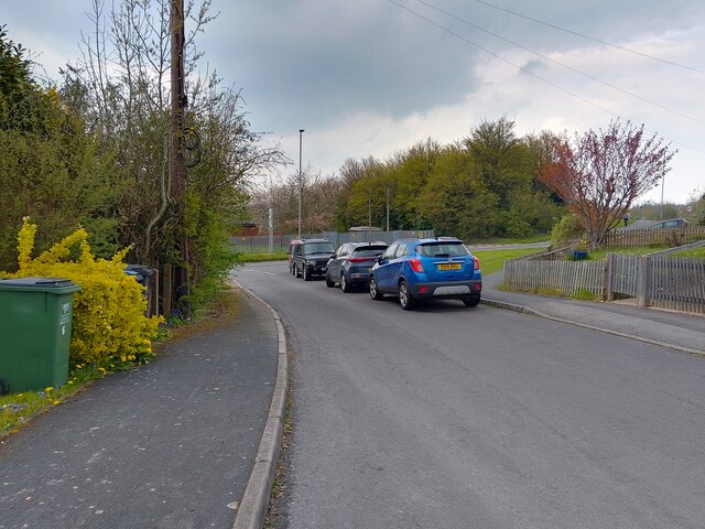
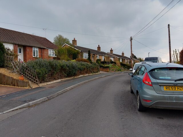
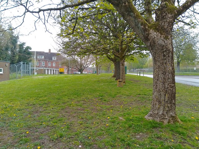
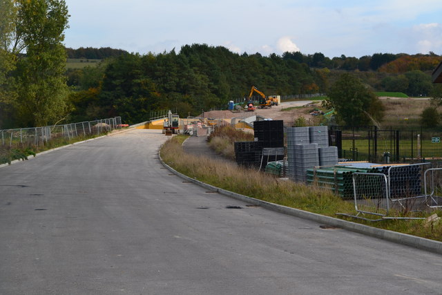
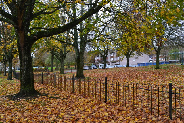
Images are sourced within 2km of 51.253306/-1.6469709 or Grid Reference SU2450. Thanks to Geograph Open Source API. All images are credited.

Windmillhill Down, Wiltshire Windmillhill after a rain storm.
Windmillhill Down, Wiltshire
Windmillhill after a rain storm.
Tank crossing, Cow Down
View towards Pickpit Hill From a tank crossing on the A338.
View towards Pickpit Hill
From a tank crossing on the A338.
Ludgershall - Disused Railway Bridge Bridge north west of Ludgershall, previous part of the disused Midland and South Western Junction Railway. A footpath between A342 and Collingbourne Woods runs beneath.
Ludgershall - Disused Railway Bridge
Bridge north west of Ludgershall, previous part of the disused Midland and South Western Junction Railway. A footpath between A342 and Collingbourne Woods runs beneath.
Beech Hill Road, Tidworth Beech Hill Road is a road between Tidworth Road and Hawthorn Road in Tidworth. It also connects to Cherry Tree Avenue.
Beech Hill Road, Tidworth
Beech Hill Road is a road between Tidworth Road and Hawthorn Road in Tidworth. It also connects to Cherry Tree Avenue.
Beech Hill Road, Tidworth Beech Hill Road is a road between Tidworth Road and Hawthorn Road in Tidworth. It also connects to Cherry Tree Avenue.
Beech Hill Road, Tidworth
Beech Hill Road is a road between Tidworth Road and Hawthorn Road in Tidworth. It also connects to Cherry Tree Avenue.
Halton Road, Perham Down Halton Road is a road in Perham Down off Somme Road, leading to Wouldham Close and Upnor Close.
Halton Road, Perham Down
Halton Road is a road in Perham Down off Somme Road, leading to Wouldham Close and Upnor Close.
Verge beside Perham Down Road A large verge beside Perham Down Road. The white building is a nursery. To the left is Swinton Barracks.
Verge beside Perham Down Road
A large verge beside Perham Down Road. The white building is a nursery. To the left is Swinton Barracks.
Perham Down Community Centre and Swinton Barracks Welfare Office A building with two uses in Perham Down.
Perham Down Community Centre and Swinton Barracks Welfare Office
A building with two uses in Perham Down.
Verge beside Perham Down Road A large verge beside Perham Down Road. Both sides of the road are parts of Swinton Barracks.
Verge beside Perham Down Road
A large verge beside Perham Down Road. Both sides of the road are parts of Swinton Barracks.
Wellington Primary Academy, Tidworth
New link road under construction north of new housing at Tidworth
Autumn leaves beside Kennet Road
A338 through Tidworth A largely military town.
A338 through Tidworth
A largely military town.
Road from Perham Down to Tidworth
Road towards Tidworth at Perham Down Passing through military barracks areas.
Road towards Tidworth at Perham Down
Passing through military barracks areas.
A342 near Leckford Bridge Helicopters for 3 miles: not the commonest of roadside signs!
A342 near Leckford Bridge
Helicopters for 3 miles: not the commonest of roadside signs!
Tidworth Military Cemetery
Show me another place!

Windmillhill Plantation is located at Grid Ref: SU2450 (Lat: 51.253306, Lng: -1.6469709)

Unitary Authority: Wiltshire

Police Authority: Wiltshire

What 3 Words

///caring.likewise.twit. Near Ludgershall, Wiltshire

Related Wikis

Perriam Down

Perriam Down or Perriam Downs, near Ludgershall, Wiltshire, England was a venue for five first-class cricket matches and at least three other matches between...

Ludgershall, Wiltshire

Ludgershall ( LUG-ər-shawl, with a hard g) is a town and civil parish 16 miles (26 km) north east of Salisbury, Wiltshire, England. It is on the A342 road...

Ludgershall railway station, Wiltshire

Ludgershall railway station was a railway station which served the town of Ludgershall in Wiltshire, England from 1882 to 1961. == History == The station...

Ludgershall Castle

Ludgershall Castle is a ruined 12th-century fortified royal residence at Ludgershall in Wiltshire, England. Three large walls still remain of the castle...

Nearby Amenities

Located within 500m of 51.253306,-1.6469709
Pickpit Hill
Ele: 175
Natural: peak
Lat/Long: 51.2498584/-1.6477454
Windmillhill Down
Ele: 187
Natural: peak
Lat/Long: 51.2571996/-1.6482524
The data included in this document is from www.openstreetmap.org. The data is made available under ODbL.

Have you been to Windmillhill Plantation?

Leave your review of Windmillhill Plantation below (or comments, questions and feedback).