Brownlow Green
Downs, Moorland in Warwickshire Warwick
England
Brownlow Green

Brownlow Green is a picturesque village located in the county of Warwickshire, England. Situated within the district of Warwick, it is renowned for its stunning natural landscapes characterized by downs and moorland. The village is nestled amidst rolling hills and offers breathtaking views of the surrounding countryside.
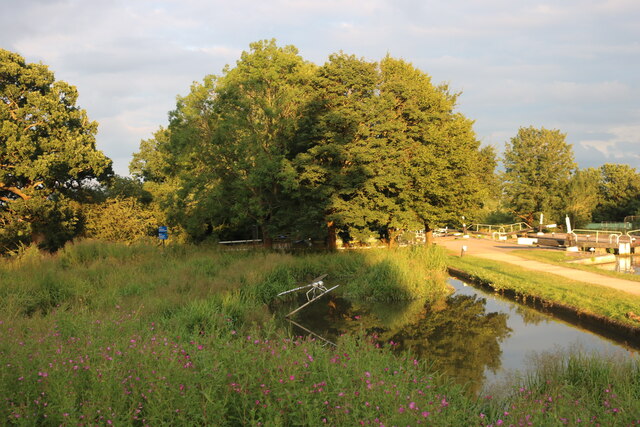
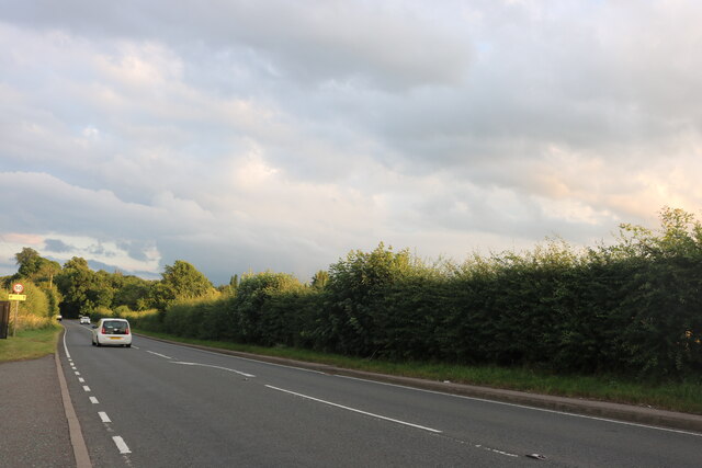
The downs in Brownlow Green are vast expanses of open grasslands, providing a haven for wildlife and a perfect setting for outdoor activities such as hiking, picnicking, and bird-watching. The moorland, on the other hand, features heathland and peat bogs, creating a unique ecosystem and attracting a diverse range of flora and fauna.
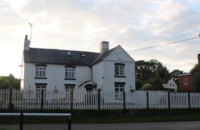
The village itself is compact, with charming stone cottages and well-maintained gardens. It exudes a tranquil atmosphere, making it an ideal place to live for those seeking a peaceful countryside lifestyle. The community is tight-knit and friendly, with a strong sense of local pride.
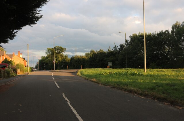
Despite its rural setting, Brownlow Green is well-connected to nearby towns and cities. The village benefits from good road links, allowing residents to easily access amenities and services. Additionally, there are regular bus services connecting the village to surrounding areas.
For those seeking cultural and historical attractions, Brownlow Green is within easy reach of Warwick Castle, one of the finest medieval castles in England. Stratford-upon-Avon, the birthplace of William Shakespeare, is also just a short drive away, offering a wealth of attractions including the Royal Shakespeare Theatre.
In summary, Brownlow Green is a picturesque village in Warwickshire, characterized by its downs and moorland landscapes. With its idyllic countryside setting, friendly community, and convenient location, it is a desirable place to live or visit.
If you have any feedback on the listing, please let us know in the comments section below.
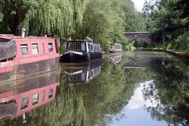
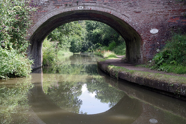
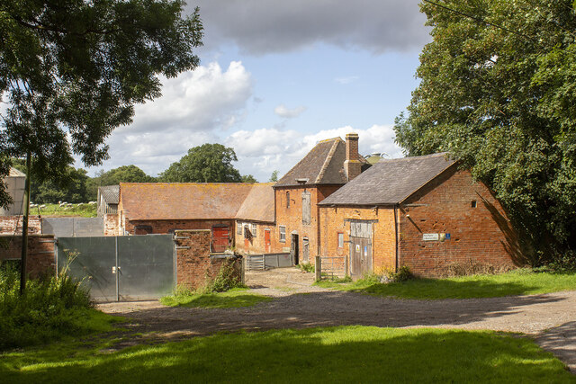
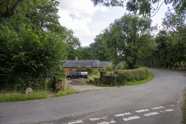
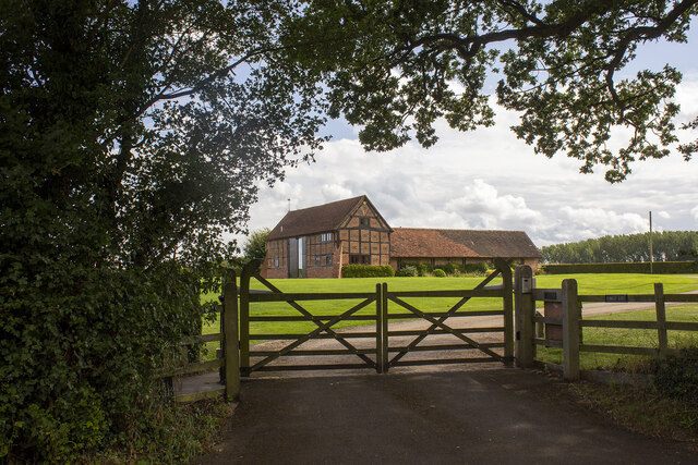
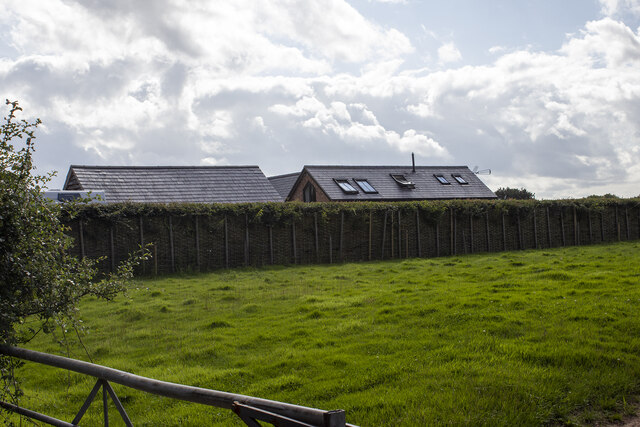
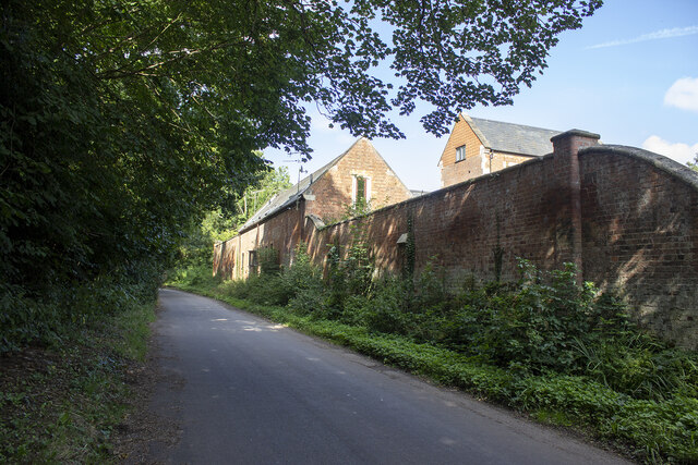
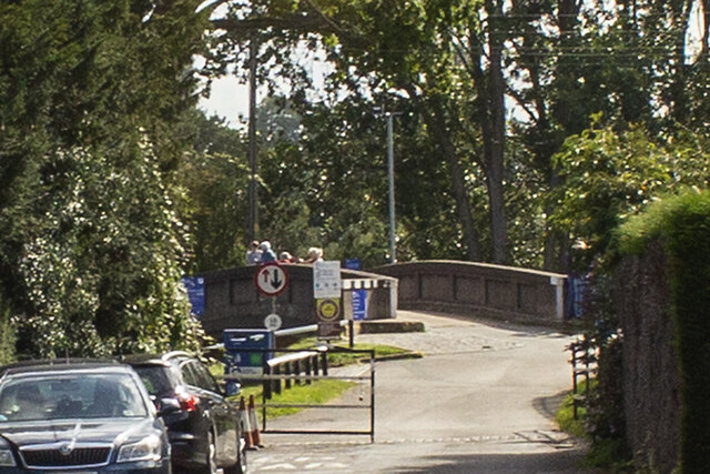
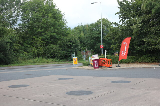
Brownlow Green Images
Images are sourced within 2km of 52.310745/-1.6378636 or Grid Reference SP2468. Thanks to Geograph Open Source API. All images are credited.
Brownlow Green is located at Grid Ref: SP2468 (Lat: 52.310745, Lng: -1.6378636)
Administrative County: Warwickshire
District: Warwick
Police Authority: Warwickshire
What 3 Words
///bleaching.infringe.dried. Near Hatton, Warwickshire
Nearby Locations
Related Wikis

Central Hospital, Hatton
Central Hospital was a psychiatric hospital located in Hatton, Warwickshire, England. == History == Building began in 1846 on a 42-acre (17 ha) site purchased...

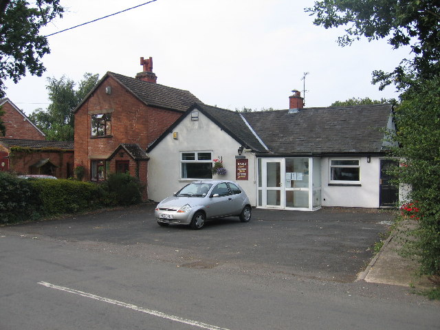
Hatton, Warwickshire
Hatton is a village and civil parish about 4 miles (6 km) west-northwest of Warwick, in the Warwick District of Warwickshire in England. The parish had...

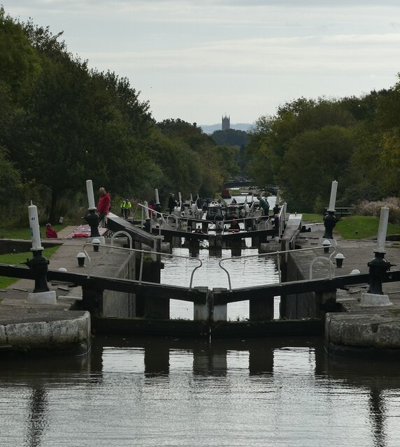
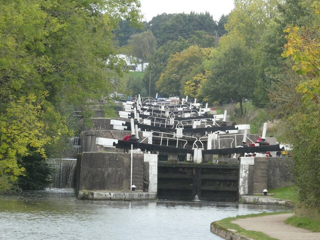
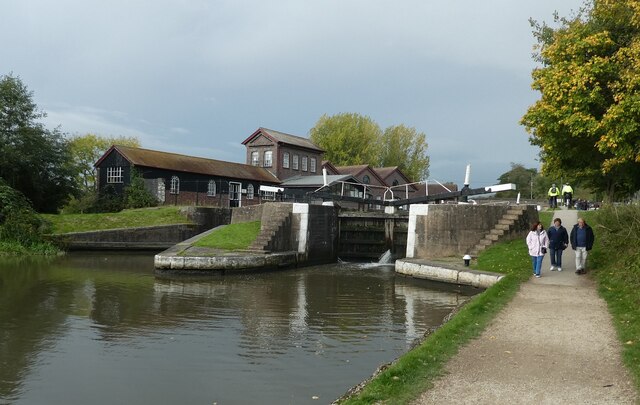
Hatton Locks
The Hatton Locks or Hatton Flight are a flight of 21 locks on the Grand Union Canal in Hatton, Warwickshire, England. The flight spans less than 2 miles...

Haseley
Haseley is a small village and former civil parish in Warwickshire, England. It is four miles north-west of the county town of Warwick and nine miles...
Beausale, Haseley, Honiley and Wroxall
Beausale, Haseley, Honiley and Wroxall is a civil parish in the Warwick District of Warwickshire, England. It was created in 2007 by the merger of the...
Beausale
Beausale is a hamlet and former civil parish, now in the parish of Beausale, Haseley, Honiley and Wroxall, in the Warwick district of Warwickshire, England...

Warwick and Leamington (UK Parliament constituency)
Warwick and Leamington is a constituency represented in the House of Commons of the UK Parliament since the 2017 general election by Matt Western, of the...
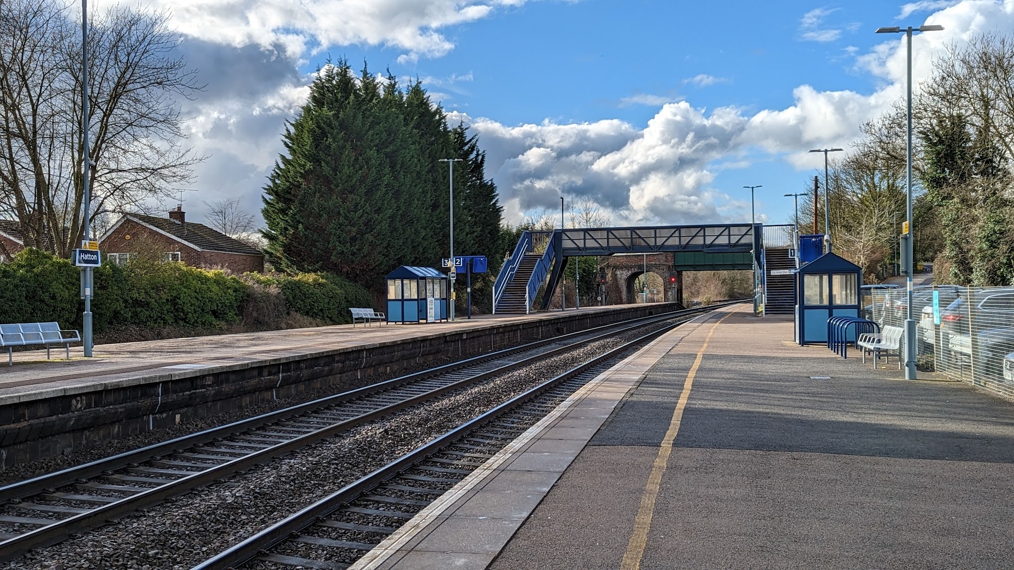
Hatton railway station (England)
Hatton railway station takes the name of the village of Hatton in Warwickshire, England, although it is about 1 mile (1.6 km) from the village. It is situated...
Nearby Amenities
Located within 500m of 52.310745,-1.6378636Have you been to Brownlow Green?
Leave your review of Brownlow Green below (or comments, questions and feedback).