Gin Piece Plantation
Downs, Moorland in Yorkshire
England
Gin Piece Plantation
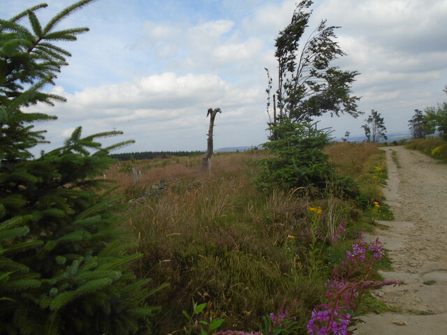
Gin Piece Plantation is a picturesque estate located in the heart of Yorkshire, encompassing both the Downs and Moorland landscapes. Covering a substantial area of land, the plantation is renowned for its stunning natural beauty and diverse flora and fauna.
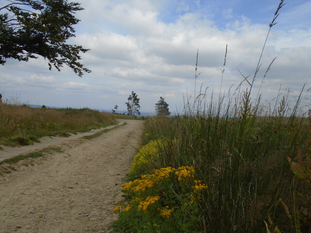
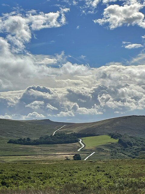
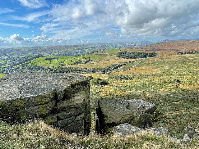
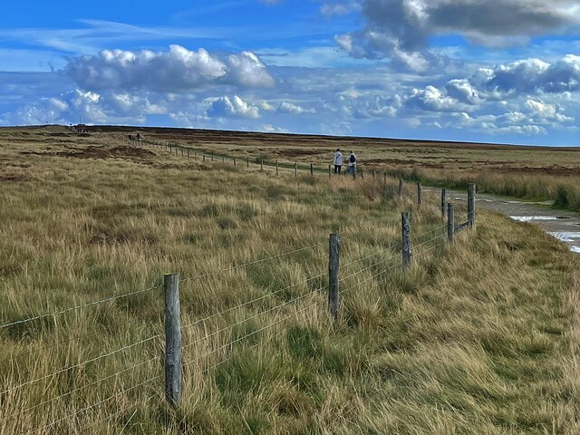
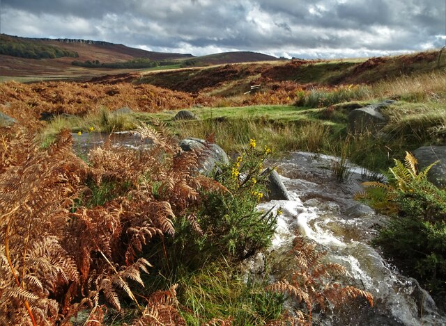
Situated amidst rolling hills and lush green valleys, the plantation offers breathtaking views that captivate visitors all year round. The Downs section of the estate features vast open spaces, characterized by gently sloping hills and fertile meadows. This area is home to a variety of plant species, including wildflowers, grasses, and shrubs, creating a vibrant and colorful tapestry across the landscape.
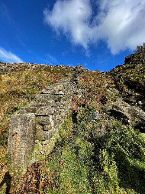
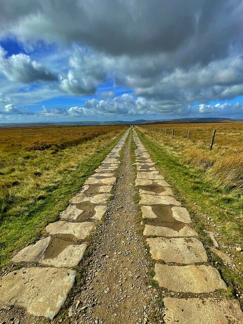
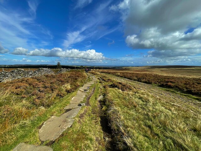
The Moorland section, on the other hand, offers a distinct contrast with its rugged terrain and heather-covered moors. Visitors can explore the expansive moorlands, which are punctuated by rocky outcrops and scattered trees, providing a habitat for a range of wildlife. Birdwatchers can spot numerous species such as grouse, skylarks, and kestrels, while lucky visitors might even catch a glimpse of the elusive red deer.
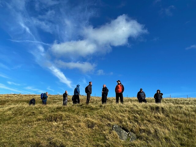
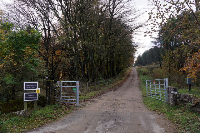
Gin Piece Plantation also boasts a network of well-maintained walking trails, allowing visitors to immerse themselves in the natural splendor of the estate. Whether strolling through the Downs or venturing onto the moorlands, visitors can enjoy the tranquility and serenity of the surroundings.
In summary, Gin Piece Plantation is a captivating estate that showcases the diverse landscapes of Yorkshire's Downs and Moorland. With its stunning vistas, abundant wildlife, and well-marked trails, it offers a unique and unforgettable experience for nature enthusiasts and those seeking a peaceful retreat.
If you have any feedback on the listing, please let us know in the comments section below.
Gin Piece Plantation Images
Images are sourced within 2km of 53.365589/-1.6418216 or Grid Reference SK2385. Thanks to Geograph Open Source API. All images are credited.


Gin Piece Plantation is located at Grid Ref: SK2385 (Lat: 53.365589, Lng: -1.6418216)
Division: West Riding
Unitary Authority: Sheffield
Police Authority: South Yorkshire
What 3 Words
///figure.casual.impose. Near Hathersage, Derbyshire
Nearby Locations
Related Wikis

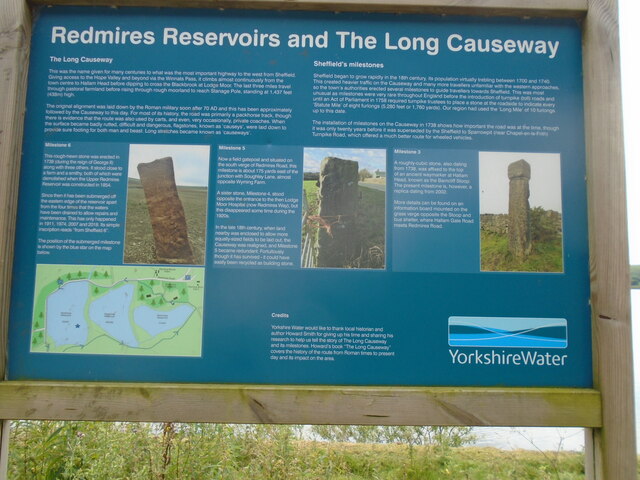
Long Causeway
Long Causeway or Long Causey was a medieval packhorse route in England, which ran between Sheffield in South Yorkshire and Hathersage in Derbyshire. In...

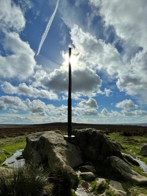
Stanedge Pole
Stanedge Pole also known as Stanage Pole (grid reference SK2468784429) is a landmark on Hallam Moors close to Stanage Edge in South Yorkshire, England...

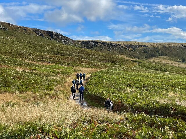
Stanage Edge
Stanage Edge, or simply Stanage (from "stone edge") is a gritstone escarpment in the Peak District, England, famous as a location for climbing. It lies...

Hollow Meadows
Hollow Meadows is a hamlet in the civil parish of Bradfield, west of Sheffield in South Yorkshire, England. It lies along the A57 road, between Moscar...
Related Videos

STANAGE EDGE | PEAK DISTRICT - Full Hiking Tour
In this episode Hay and Kyle are your personal tour guides, taking you round the popular Peak District spot, Stanage Edge.

Peak District Country Walk- HATHERSAGE to STANAGE EDGE // Travel Vlog- Brits in Britain
In this video we walk from Hathersage to Stanage edge in the Peak District- showing you some amazing views and giving a good ...
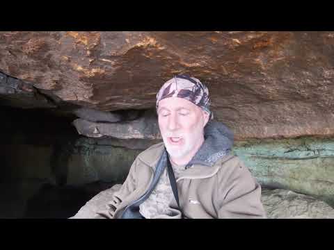
Peak district walking...Stanage edge from Wyming brook..with a visit to the cave along the edge.
Working last night so i am totally knackered on this walk...i got up after about an hours sleep ..feet ache, legs ache, so tired, but ...

Redmires Reservoir Teaser Trailer - Hiking UK
Highlights of my recent trip to Redmires Reservoir, full video to follow Please LIKE, COMMENT, SHARE & SUBSCRIBE.
Nearby Amenities
Located within 500m of 53.365589,-1.6418216Have you been to Gin Piece Plantation?
Leave your review of Gin Piece Plantation below (or comments, questions and feedback).