Burrell Moor
Downs, Moorland in Durham
England
Burrell Moor

Burrell Moor, located in Durham, England, is a picturesque expanse of moorland and downs that covers an area of approximately 5,000 acres. Situated in the northwest part of the county, it is surrounded by the stunning scenery of the Durham Dales and the North Pennines Area of Outstanding Natural Beauty.
The moorland is characterized by its rolling hills, vast open spaces, and heather-covered landscapes. It is home to a diverse range of flora and fauna, including several species of birds, mammals, and insects. The area is particularly renowned for its birdlife, with species such as curlews, lapwings, and red grouse commonly spotted.
Burrell Moor offers a unique opportunity for outdoor enthusiasts to explore its natural beauty. The moorland is crisscrossed by a network of footpaths and trails, making it an ideal destination for walking, hiking, and cycling. Visitors can enjoy breathtaking views of the surrounding countryside as they traverse the undulating terrain.
In addition to its natural offerings, Burrell Moor is also of historical significance. The area contains several remnants of ancient settlements, including burial mounds and stone circles, which provide insight into the region's rich history and heritage.
Overall, Burrell Moor in Durham is a haven for nature lovers and history enthusiasts alike. Its vast expanse of moorland, diverse wildlife, and historical landmarks make it a must-visit destination for those seeking a tranquil and immersive experience in the heart of the English countryside.
If you have any feedback on the listing, please let us know in the comments section below.
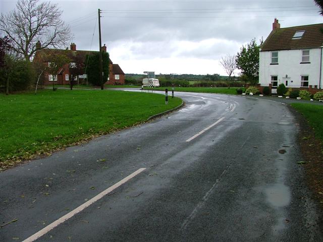
Burrell Moor Images
Images are sourced within 2km of 54.586847/-1.6310132 or Grid Reference NZ2321. Thanks to Geograph Open Source API. All images are credited.


Burrell Moor is located at Grid Ref: NZ2321 (Lat: 54.586847, Lng: -1.6310132)
Unitary Authority: Darlington
Police Authority: Durham
What 3 Words
///hydrant.sobs.televise. Near Heighington, Co. Durham
Nearby Locations
Related Wikis

Heighington Church of England Primary School
Heighington CE Primary School is a Church of England primary school with academy status located in the village of Heighington, near Newton Aycliffe, County...
Walworth Gate
Walworth Gate is a hamlet and crossroads village in the borough of Darlington, in the civil parish of Walworth and the ceremonial county of County Durham...
Heighington, County Durham
Heighington ( HYE-ing-tən) is a village in the borough of Darlington and ceremonial county of County Durham, England. The population of the civil parish...
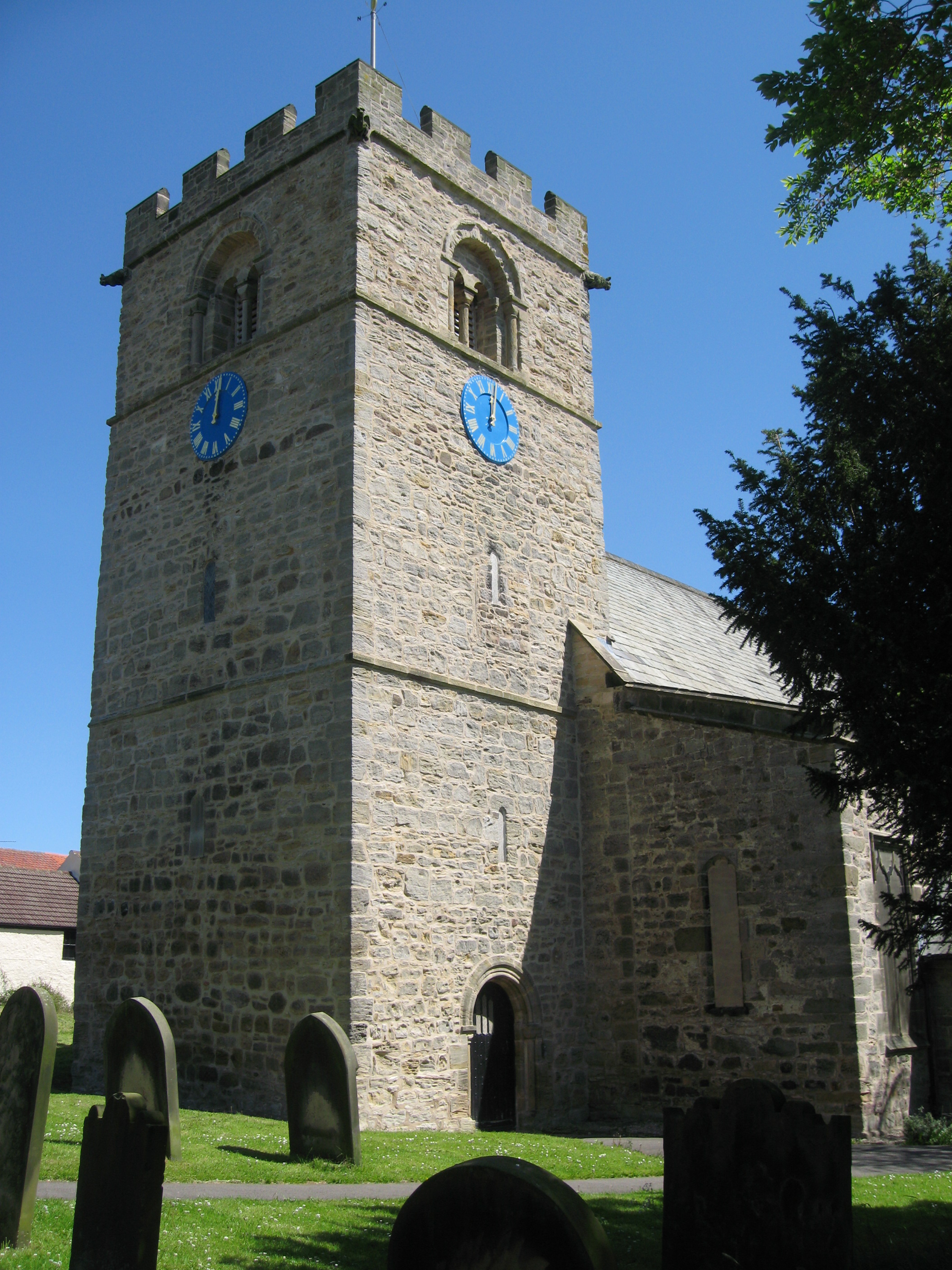
St Michael's Church, Heighington
St Michael's Church is a Church of England parish church in Heighington, Darlington, County Durham. The church is a grade I listed building. == History... ==
Have you been to Burrell Moor?
Leave your review of Burrell Moor below (or comments, questions and feedback).