Binchester Moor
Downs, Moorland in Durham
England
Binchester Moor

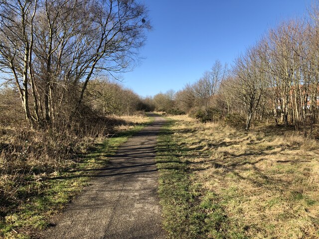
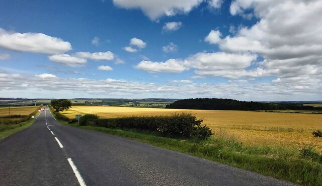
Binchester Moor, located in County Durham, England, is a picturesque area known for its stunning downs and moorland landscapes. Situated near the village of Binchester, this region offers visitors a unique blend of natural beauty and historical significance. The moor is characterized by rolling hills, open grasslands, and expansive views of the surrounding countryside.
Home to a diverse range of plant and animal species, Binchester Moor is a haven for nature enthusiasts. The area boasts an array of heather, gorse, and bracken, creating a vibrant and colorful landscape throughout the year. Various bird species, including grouse and curlews, can also be spotted in the skies above.
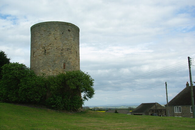
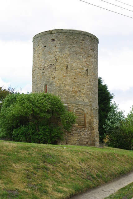
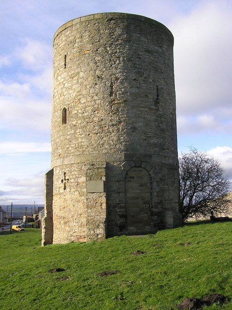
Adding to its allure, Binchester Moor has a rich historical heritage. The remnants of a Roman fort known as Vinovia, dating back to the 3rd century AD, can be found here. Visitors can explore the well-preserved ruins, including the commanding officer's house, barracks, and granaries. The site offers a fascinating glimpse into the daily life of Roman soldiers stationed in the area.
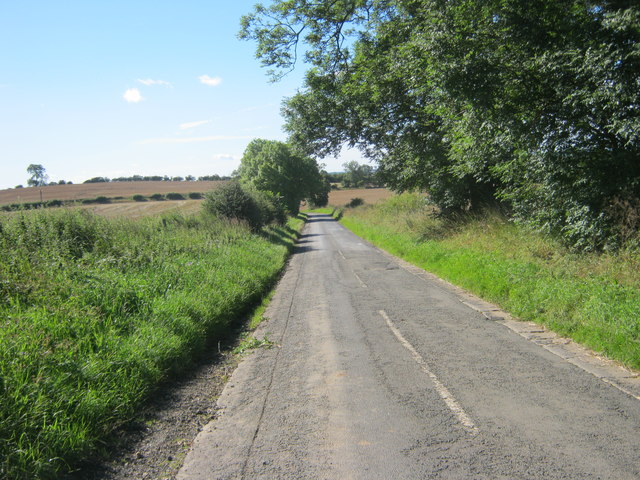
Binchester Moor provides ample opportunities for outdoor activities such as hiking, cycling, and birdwatching. The well-maintained footpaths and trails make it easy for visitors to explore the area and soak in its natural beauty. Additionally, the moorland offers stunning panoramic views, especially during sunrise and sunset.
Overall, with its breathtaking landscapes and historical significance, Binchester Moor is a must-visit destination for those seeking a combination of natural wonders and cultural exploration in the heart of County Durham.
If you have any feedback on the listing, please let us know in the comments section below.
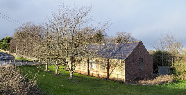
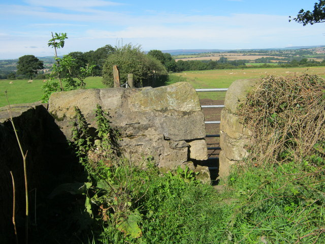
Binchester Moor Images
Images are sourced within 2km of 54.687047/-1.6303537 or Grid Reference NZ2332. Thanks to Geograph Open Source API. All images are credited.


Binchester Moor is located at Grid Ref: NZ2332 (Lat: 54.687047, Lng: -1.6303537)
Unitary Authority: County Durham
Police Authority: Durham
What 3 Words
///crouching.rarely.operating. Near Spennymoor, Co. Durham
Nearby Locations
Related Wikis

Middlestone Moor
Middlestone Moor is a village in County Durham, England. It is situated to the south west of Spennymoor - within the town council's limits. On 12 February...

Binchester
Binchester is a small village in County Durham, England. It has a population of 271. It is situated between Bishop Auckland, which is to the south, and...
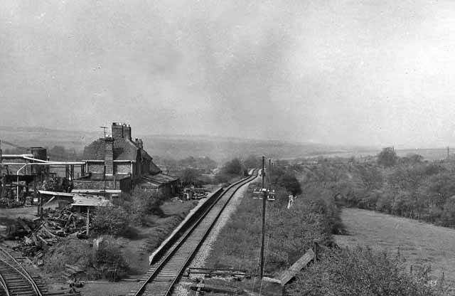
Byers Green railway station
Byers Green railway station was one of three railway stations that served in the village of Byers Green in County Durham, Northeast England. == History... ==
Westerton, County Durham
Westerton is a village and former civil parish in the County Durham district, in the ceremonial county of Durham, England. In the 2001 census Westerton...
Nearby Amenities
Located within 500m of 54.687047,-1.6303537Have you been to Binchester Moor?
Leave your review of Binchester Moor below (or comments, questions and feedback).