Park Plantation
Wood, Forest in Durham
England
Park Plantation

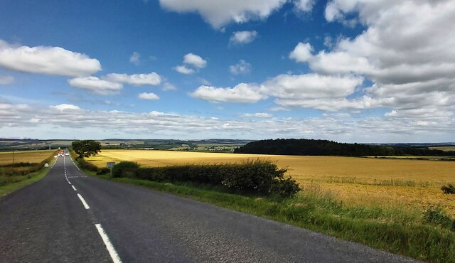
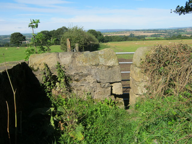
Park Plantation is a picturesque woodland area situated in Durham, England. Covering an extensive area, it is known for its lush greenery, tall trees, and diverse flora and fauna. The plantation is located near the village of Park, making it easily accessible for visitors.
Wooded trails wind through the plantation, providing a tranquil and scenic environment for hikers, nature enthusiasts, and families alike. The paths are well-maintained and offer opportunities for both leisurely strolls and more challenging hikes. Along the way, visitors can admire a variety of tree species, including oak, beech, and birch, which create a colorful canopy during the autumn months.
The plantation is home to numerous species of wildlife, making it a popular spot for birdwatchers and animal lovers. Visitors may catch glimpses of squirrels, rabbits, and a variety of bird species, including woodpeckers, owls, and songbirds. The serene atmosphere of the plantation provides a peaceful retreat from the bustling city life.
Park Plantation also offers picnic areas and benches, allowing visitors to relax and enjoy the natural surroundings. Families often visit the plantation for outdoor activities such as picnicking, kite flying, and playing games. Additionally, the well-manicured lawns provide a perfect setting for outdoor events, such as weddings and gatherings.
Overall, Park Plantation in Durham is a beautiful and inviting destination for those seeking a peaceful retreat amidst nature. Its well-maintained trails, diverse wildlife, and serene ambiance make it an ideal spot for outdoor enthusiasts and nature lovers of all ages.
If you have any feedback on the listing, please let us know in the comments section below.
Park Plantation Images
Images are sourced within 2km of 54.688439/-1.6419443 or Grid Reference NZ2332. Thanks to Geograph Open Source API. All images are credited.


Park Plantation is located at Grid Ref: NZ2332 (Lat: 54.688439, Lng: -1.6419443)
Unitary Authority: County Durham
Police Authority: Durham
What 3 Words
///frail.organ.commander. Near Coundon, Co. Durham
Nearby Locations
Related Wikis
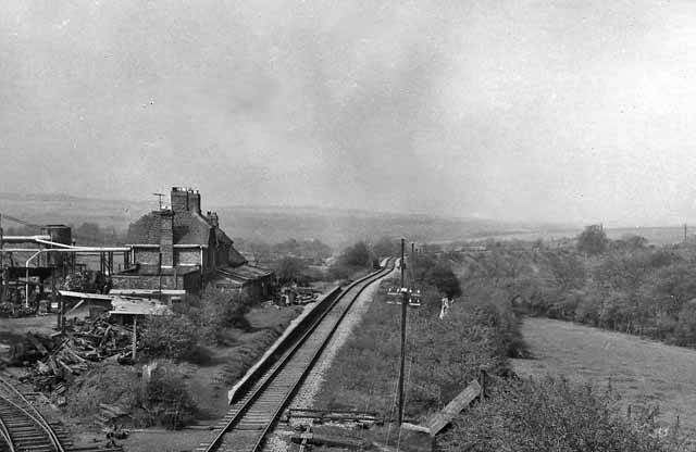
Byers Green railway station
Byers Green railway station was one of three railway stations that served in the village of Byers Green in County Durham, Northeast England. == History... ==

Binchester
Binchester is a small village in County Durham, England. It has a population of 271. It is situated between Bishop Auckland, which is to the south, and...

Middlestone Moor
Middlestone Moor is a village in County Durham, England. It is situated to the south west of Spennymoor - within the town council's limits. On 12 February...
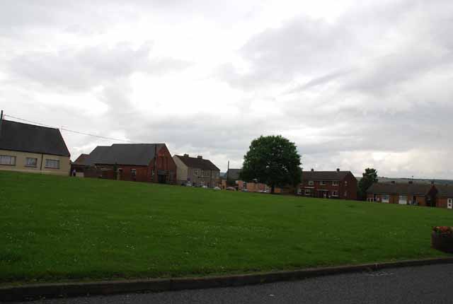
Byers Green
Byers Green is a village and former civil parish, now in the parish of Spennymoor, in the County Durham district, in the ceremonial county of Durham, England...
Nearby Amenities
Located within 500m of 54.688439,-1.6419443Have you been to Park Plantation?
Leave your review of Park Plantation below (or comments, questions and feedback).