North Park
Downs, Moorland in Yorkshire Harrogate
England
North Park
North Park, Yorkshire, is a picturesque region located in the northern part of England. It is known for its breathtaking landscapes, encompassing both downs and moorland. The area stretches across a vast expanse, offering visitors a diverse range of natural beauty to explore.
The downs of North Park, Yorkshire, feature rolling hills and expansive open spaces. These areas are perfect for leisurely walks, picnics, and enjoying the stunning panoramic views. The downs are adorned with lush greenery and wildflowers, creating a serene and tranquil atmosphere.
In contrast, the moorland of North Park is a more rugged and untamed landscape. It is characterized by vast stretches of heather-covered hills and rocky outcrops. The moorland offers a unique and wild beauty, attracting hikers, nature enthusiasts, and wildlife photographers. Visitors can spot various bird species, including golden plovers and red grouse, as well as other wildlife like rabbits and hares.
North Park, Yorkshire, is also home to several charming villages and towns that provide a glimpse into the region's rich history and culture. These settlements offer traditional pubs, quaint cottages, and historic landmarks, such as medieval churches and ancient ruins.
Overall, North Park, Yorkshire, is a haven for outdoor enthusiasts and nature lovers. With its diverse landscapes of downs and moorland, it offers a unique and captivating experience for visitors seeking tranquility and natural beauty.
If you have any feedback on the listing, please let us know in the comments section below.
North Park Images
Images are sourced within 2km of 54.169323/-1.6370642 or Grid Reference SE2374. Thanks to Geograph Open Source API. All images are credited.


North Park is located at Grid Ref: SE2374 (Lat: 54.169323, Lng: -1.6370642)
Division: West Riding
Administrative County: North Yorkshire
District: Harrogate
Police Authority: North Yorkshire
What 3 Words
///irrigated.reliving.roofed. Near Masham, North Yorkshire
Nearby Locations
Related Wikis

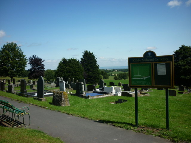
Kirkby Malzeard
Kirkby Malzeard () is a village and civil parish in the Harrogate district of North Yorkshire, England. There has been a creamery in the village making...

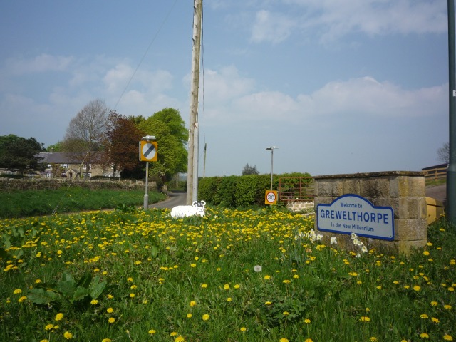
Grewelthorpe
Grewelthorpe is a village and civil parish in the Harrogate district of North Yorkshire, England situated 3 miles (5 km) south of Masham and 6.2 miles...
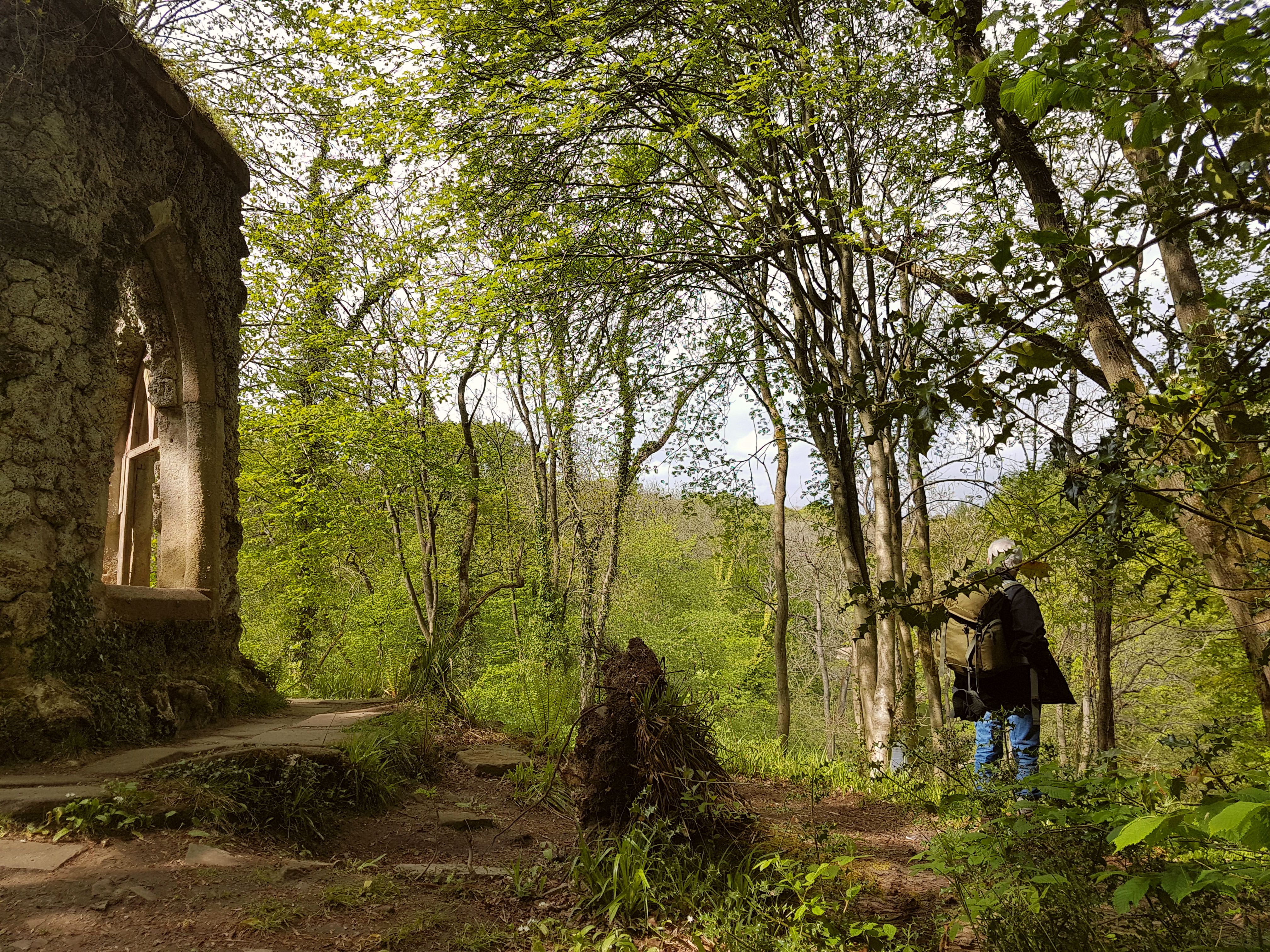
Hack Fall Wood
Hack Fall Wood, otherwise known as Hackfall, is a Site of Special Scientific Interest, or SSSI, of 44.8687 hectares (0.4487 km2; 0.1732 sq mi), lying north...

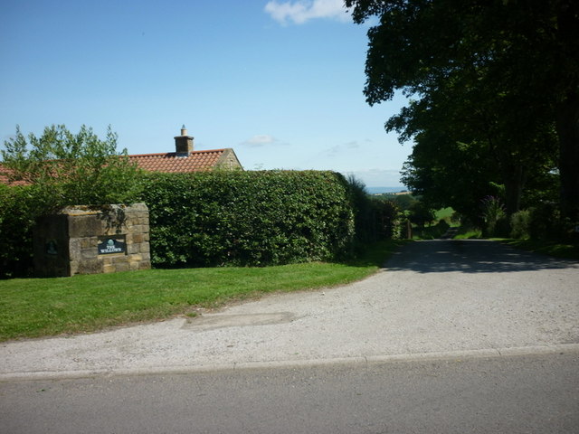
Azerley
Azerley is a hamlet and civil parish in the Harrogate district of North Yorkshire, England. It is about 4 miles (6 km) north-west of Ripon. The civil...
Related Videos
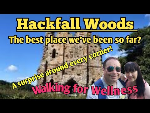
Amazing and magical walk at Hackfall Woods #hackfallwoods #woodland #waterfalls #ellofawalk
A beautiful place for the whole family. Dreamlike woodland, stunning streams, waterfalls and follies that wouldn't be out of place in ...

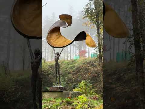
Are these the most peaceful gardens anywhere in the world? (Volume up ☝️ to appreciate the sound)
At the Himalayan Garden & Sculpture Park in North Yorkshire, the gardens boast soothing water features, tranquil bridges, still ...

Fishers Hall
Fisher's Hall is without doubt one of the most beautiful folly's I have visited. This stunning building, which has been partially ...
Nearby Amenities
Located within 500m of 54.169323,-1.6370642Have you been to North Park?
Leave your review of North Park below (or comments, questions and feedback).