Magdalen Field
Downs, Moorland in Yorkshire Hambleton
England
Magdalen Field
Magdalen Field is a picturesque and expansive area located in the county of Yorkshire, England. Situated amidst the stunning landscape of the Yorkshire Downs and Moorland, this region offers a diverse range of natural beauty and outdoor activities for visitors to enjoy.
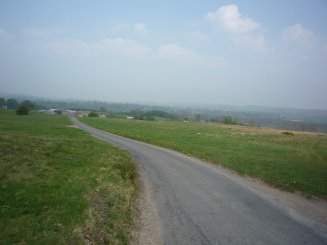
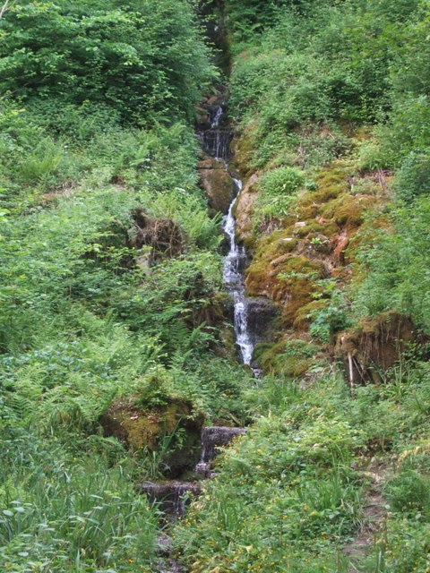
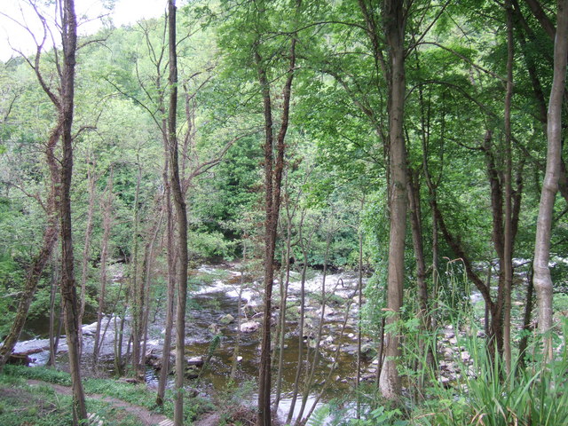
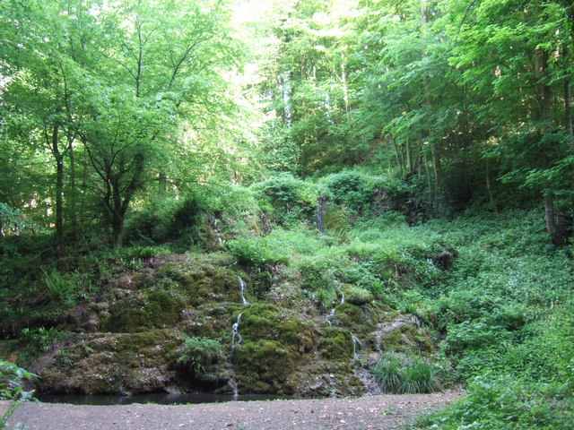
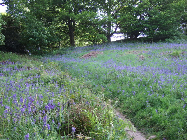
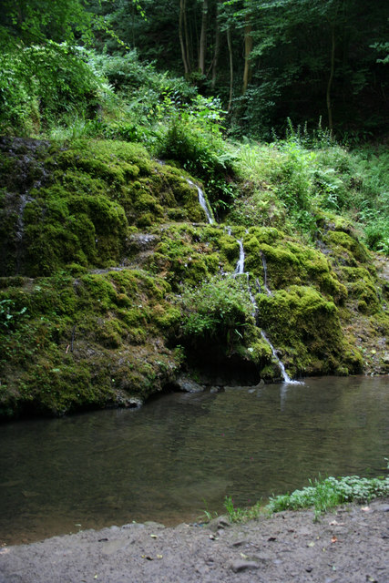
The Downs of Magdalen Field are characterized by rolling hills, green meadows, and breathtaking views of the surrounding countryside. Visitors can embark on leisurely walks or challenging hikes along the numerous trails that wind their way through this stunning terrain. The Downs are also home to a variety of wildlife, including birds, rabbits, and occasionally, deer.
Adjacent to the Downs, the Moorland of Magdalen Field showcases a unique and rugged landscape. Its sweeping expanses of heather-covered hills and rocky outcrops provide a dramatic backdrop for explorers. This area is particularly popular amongst birdwatchers, as it is a haven for a wide range of species, including grouse and curlews.
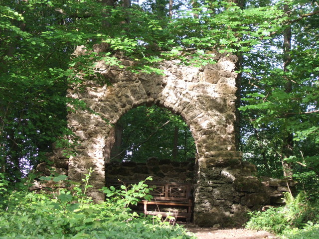
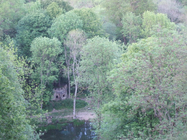
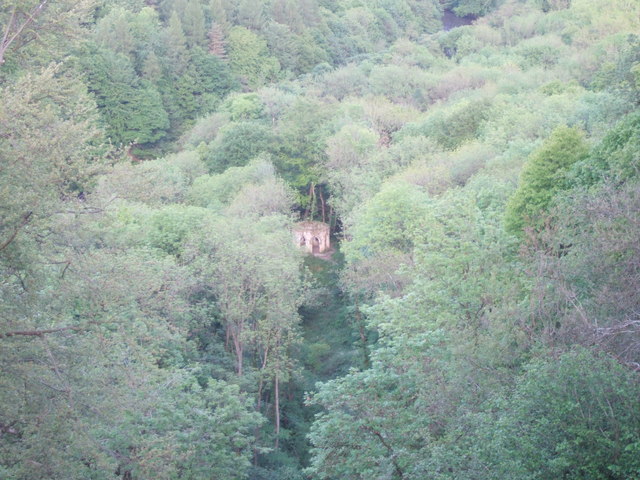
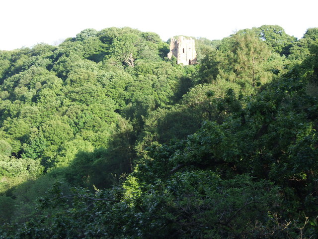
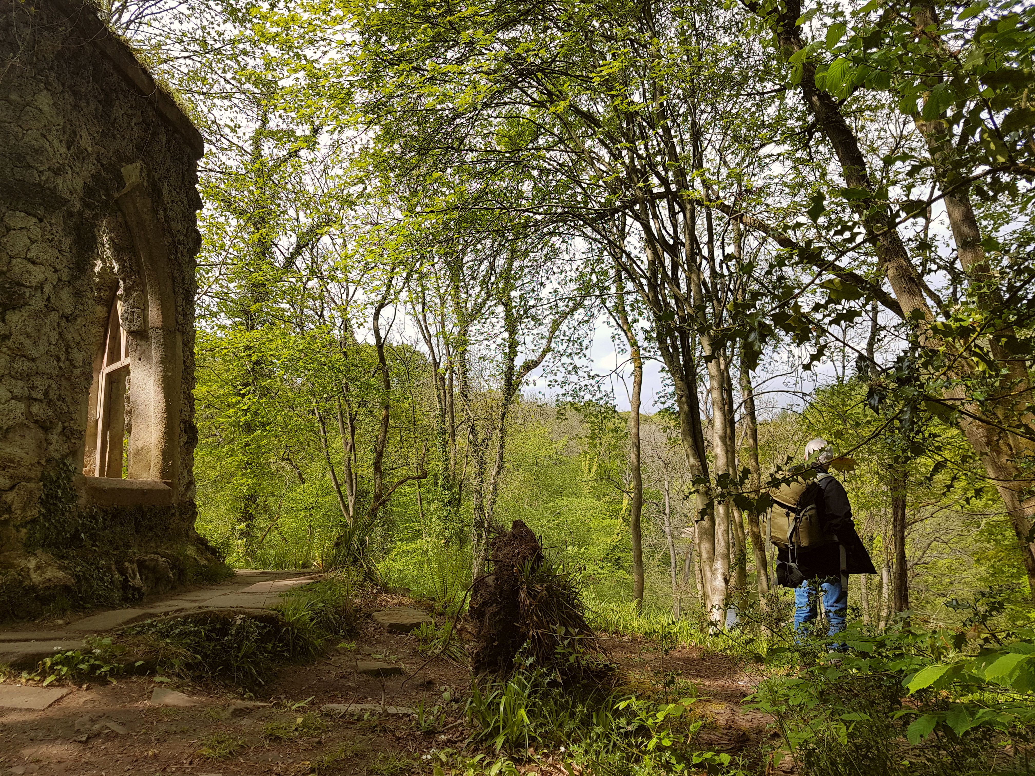
Magdalen Field is not only known for its natural beauty but also for its historical significance. The remains of ancient settlements, stone circles, and burial mounds can be found scattered throughout the area, offering fascinating insights into the region's past.
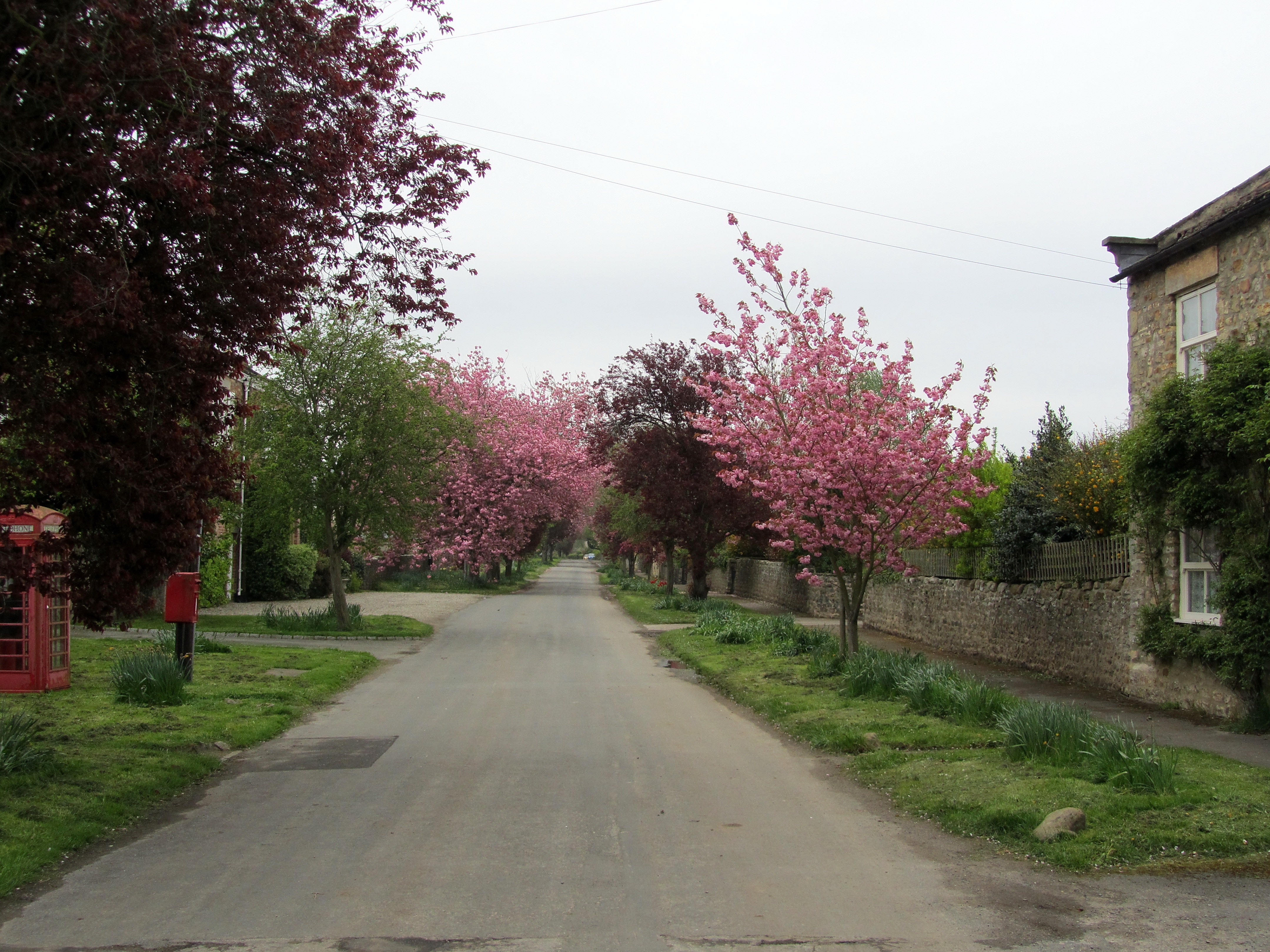
In addition to its natural and historical attractions, Magdalen Field is home to charming villages and welcoming pubs, where visitors can relax and soak up the local atmosphere. Overall, Magdalen Field in Yorkshire is a treasure trove of natural wonders and cultural heritage, making it a must-visit destination for nature enthusiasts and history buffs alike.
If you have any feedback on the listing, please let us know in the comments section below.
Magdalen Field Images
Images are sourced within 2km of 54.191917/-1.6370197 or Grid Reference SE2377. Thanks to Geograph Open Source API. All images are credited.


Magdalen Field is located at Grid Ref: SE2377 (Lat: 54.191917, Lng: -1.6370197)
Division: North Riding
Administrative County: North Yorkshire
District: Hambleton
Police Authority: North Yorkshire
What 3 Words
///half.expectant.tummy. Near Masham, North Yorkshire
Nearby Locations
Related Wikis
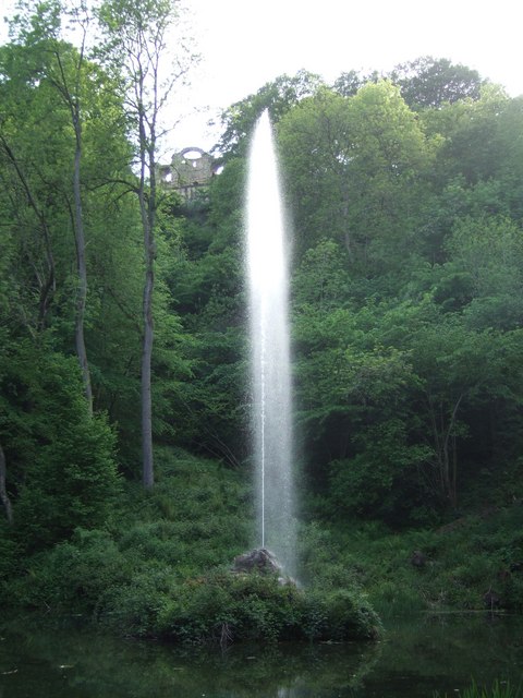
Hack Fall Wood
Hack Fall Wood, otherwise known as Hackfall, is a Site of Special Scientific Interest, or SSSI, of 44.8687 hectares (0.4487 km2; 0.1732 sq mi), lying north...

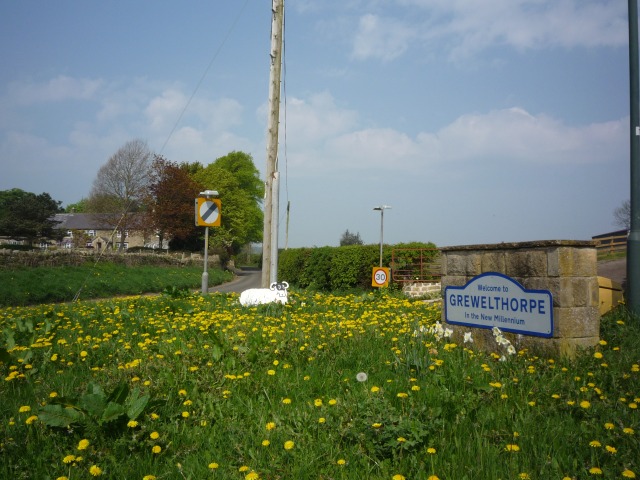
Grewelthorpe
Grewelthorpe is a village and civil parish in the Harrogate district of North Yorkshire, England situated 3 miles (5 km) south of Masham and 6.2 miles...
Mickley, North Yorkshire
Mickley is a village in the Harrogate District of North Yorkshire, England. The village is on the south bank of the River Ure between Masham and West Tanfield...
Binsoe
Binsoe is a hamlet in the civil parish of West Tanfield, North Yorkshire, England. The hamlet is just to the north of the A6108 road, being 1.25 miles...

Swinton with Warthermarske
Swinton with Warthermarske is a civil parish in Harrogate district, North Yorkshire, England. The parish includes the village of Swinton and the hamlets...
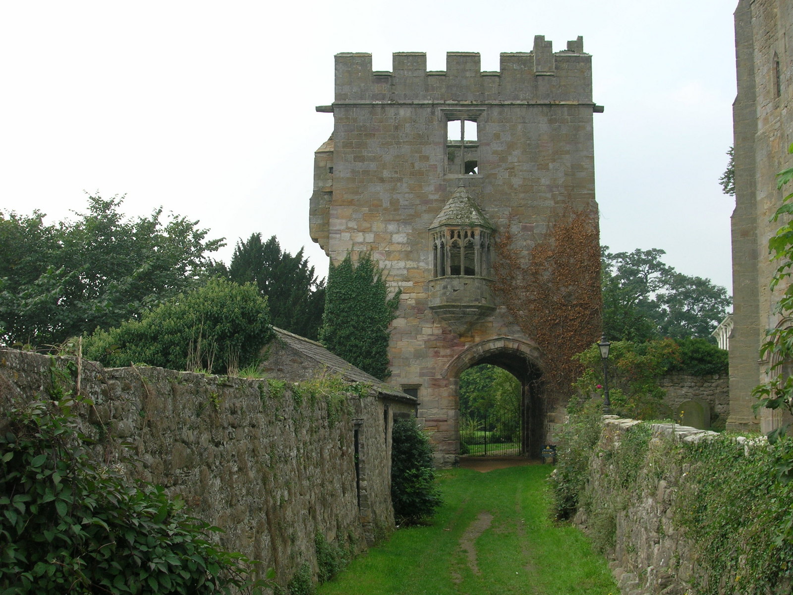
Marmion Tower
Marmion Tower, also known historically as Tanfield Castle, is a 15th-century gatehouse near the village of West Tanfield in North Yorkshire, England. It...

Kirkby Malzeard
Kirkby Malzeard () is a village and civil parish in the Harrogate district of North Yorkshire, England. There has been a creamery in the village making...

Burton-on-Yore
Burton-on-Yore (historically also Burton upon Ure) is a civil parish in the Harrogate district of North Yorkshire, England, facing Masham across the River...
Nearby Amenities
Located within 500m of 54.191917,-1.6370197Have you been to Magdalen Field?
Leave your review of Magdalen Field below (or comments, questions and feedback).