St John's Green

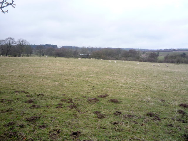
Downs, Moorland in Durham

England

St John's Green

Path to Stobbilee Farm Footpath leading south from the A691, Durham to Consett road, to Stobbilee Farm at Langley Park.
Path to Stobbilee Farm Credit: Robert Graham

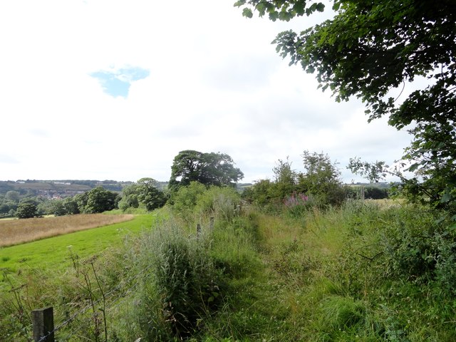
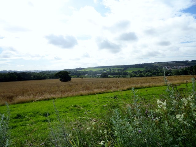
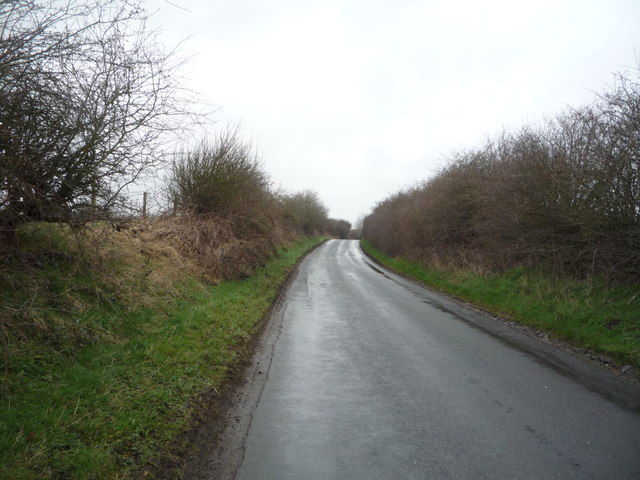
St John's Green, located in Durham, England, is a picturesque area known for its natural beauty and serene atmosphere. The green is part of the larger St John's College, which is situated in the heart of Durham City. This open space is a popular recreational spot for both locals and visitors, offering a peaceful retreat from the hustle and bustle of urban life.

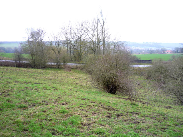
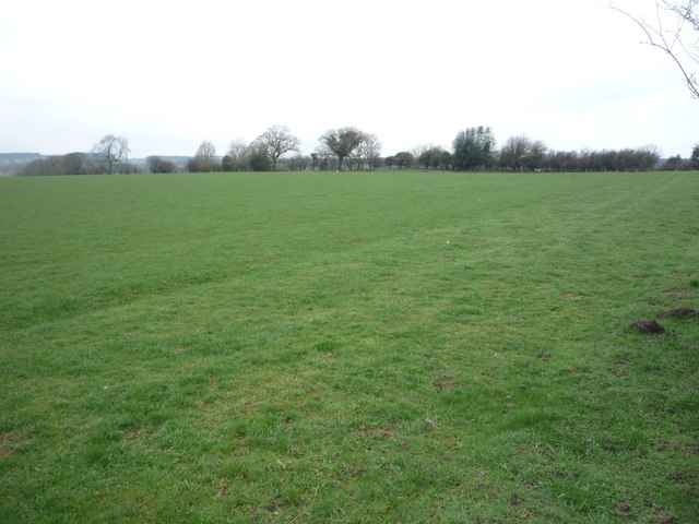
Surrounded by verdant downs and moorland, St John's Green provides ample opportunities for outdoor activities such as walking, jogging, and picnicking. The lush greenery and well-maintained lawns make it an ideal place for families and friends to gather and enjoy the outdoors. Many visitors are drawn to the green's tranquility and panoramic views of the surrounding countryside, which further enhance the overall experience.

St John's Green also holds historical significance as it is adjacent to St John's College, one of the constituent colleges of Durham University. Founded in 1909, the college boasts stunning architecture and a rich academic heritage. The green serves as a natural extension of the college's campus, providing students and staff with a peaceful setting for relaxation and recreation.

Throughout the year, St John's Green hosts various events and activities, including fairs, concerts, and sports tournaments. These events attract a diverse range of people, fostering a sense of community and promoting engagement with the local culture.

In conclusion, St John's Green in Durham is a charming and picturesque open space, offering a tranquil retreat and a connection to the rich history and vibrant community of St John's College.

If you have any feedback on the listing, please let us know in the comments section below.

St John's Green Images

Images are sourced within 2km of 54.799838/-1.6421899 or Grid Reference NZ2345. Thanks to Geograph Open Source API. All images are credited.

Path to Stobbilee Farm Footpath leading south from the A691, Durham to Consett road, to Stobbilee Farm at Langley Park.
Path to Stobbilee Farm
Footpath leading south from the A691, Durham to Consett road, to Stobbilee Farm at Langley Park.
View south from the A691 near Kaysburn View from beside the Durham to Consett road near Stobbilee House. Looking south over Langley Park to the south side of the Browney valley.
View south from the A691 near Kaysburn
View from beside the Durham to Consett road near Stobbilee House. Looking south over Langley Park to the south side of the Browney valley.
War memorial at Witton Gilbert The memorial is slightly elevated above the east side of the B6312 at the northern end of the village. 
The houses of Green Lea are seen behind the monument.
Remnants of the first snow of the winter are on the ground.
War memorial at Witton Gilbert
The memorial is slightly elevated above the east side of the B6312 at the northern end of the village. The houses of Green Lea are seen behind the monument. Remnants of the first snow of the winter are on the ground.
Rear of buildings at Ushaw College The road through woodland gives access to the rear of the large building complex at Ushaw College. The college was a Catholic seminary until the year 2011 when it closed due to an insufficient supply of students. Currently (December 2015) it's the temporary home of the Business School of Durham University whilst its own buildings are being rebuilt.
Rear of buildings at Ushaw College
The road through woodland gives access to the rear of the large building complex at Ushaw College. The college was a Catholic seminary until the year 2011 when it closed due to an insufficient supply of students. Currently (December 2015) it's the temporary home of the Business School of Durham University whilst its own buildings are being rebuilt.
Grazing off Langley Lane Looking towards the A691.
Grazing off Langley Lane
Looking towards the A691.
Langley Lane approaching the junction with the A691 Heading east towards Durham.
Langley Lane approaching the junction with the A691
Heading east towards Durham.
A691 towards Durham Heading east.
A691 towards Durham
Heading east.
Grazing north of the A691
Bus stop and shelter on the A691
Bus on the A691, Newlands
Service station on the A691
A691 towards Durham  Heading east.
A691 towards Durham
Heading east.
Path beside the A691 Looking east.
Path beside the A691
Looking east.
The Travellers Rest, Witton Gilbert On Front Street.
The Travellers Rest, Witton Gilbert
On Front Street.
Sign for the Travellers Rest, Witton Gilbert
Bus stop and shelter on Front Street, Witton Gilbert Looking east.
Bus stop and shelter on Front Street, Witton Gilbert
Looking east.
Grazing off Norburn Lane
Norburn Lane Heading north.
Norburn Lane
Heading north.
Show me another place!

St John's Green is located at Grid Ref: NZ2345 (Lat: 54.799838, Lng: -1.6421899)

Unitary Authority: County Durham

Police Authority: Durham

What 3 Words

///hired.scooters.grandest. Near Witton Gilbert, Co. Durham

Related Wikis

Witton Gilbert

Witton Gilbert is a village and civil parish in County Durham, England. == Geography == Witton Gilbert is situated about 3.7 miles (6.0 km) to the north...

Witton Gilbert railway station

Witton Gilbert railway station served the village of Witton Gilbert, County Durham, England from 1862 to 1963 on the Lanchester Valley Line. == History... ==

Wall Nook

Wall Nook is a small village in County Durham, in England. It is situated to the south of Langley Park, to the north west of Durham. Wall Nook is known...

Langley Park Wind Farm

Langley Park Wind Farm is a wind farm near Langley Park, County Durham, England. It was developed by EDF Energy and is operated by Cumbria Wind Farms,...

Nearby Amenities

Located within 500m of 54.799838,-1.6421899
Entrance: main
Lat/Long: 54.8020661/-1.6361781
Ford: yes
Lat/Long: 54.7988009/-1.6412959
Drinking Water
Bottle: yes
Lat/Long: 54.8021185/-1.6359125
Bench
Backrest: yes
Lat/Long: 54.8022054/-1.6363835
Power: pole
Lat/Long: 54.8029668/-1.6477856
Power: pole
Lat/Long: 54.8024845/-1.6467758
Power: pole
Lat/Long: 54.8021049/-1.6459845
Power: pole
Lat/Long: 54.8016991/-1.6451302
Power: pole
Lat/Long: 54.8011966/-1.6440667
Power: pole
Lat/Long: 54.8006895/-1.6431454
Barrier: stile
Foot: yes
Stile: stepover
Lat/Long: 54.8013659/-1.6391476
The data included in this document is from www.openstreetmap.org. The data is made available under ODbL.

Have you been to St John's Green?

Leave your review of St John's Green below (or comments, questions and feedback).