Roomer Common

Downs, Moorland in Yorkshire Harrogate

England

Roomer Common

Above the Ure Taken next to the car park north of Grewelthorpe. Paths lead down to the River Ure from here.
Above the Ure Credit: DS Pugh

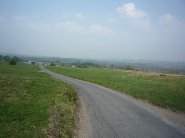
Roomer Common is a picturesque area located in the county of Yorkshire, England. Situated amidst the stunning landscape of the Yorkshire Downs and Moorland, it offers visitors a unique blend of natural beauty and tranquility.

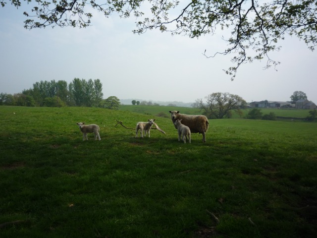
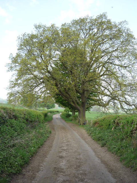
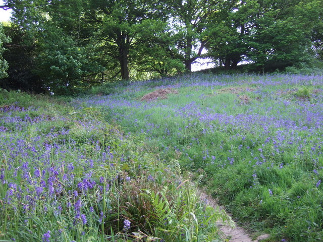
The common is characterized by its vast open spaces, rolling hills, and expansive moorlands, providing ample opportunities for outdoor activities such as hiking, cycling, and horse riding. The rich diversity of flora and fauna found in this area makes it a haven for nature enthusiasts and wildlife lovers. Visitors can spot a variety of species, including heather, gorse bushes, and a range of birdlife.

Roomer Common is also steeped in history, with traces of its past evident in the ancient burial mounds and stone circles scattered across the landscape. These historical artifacts offer a glimpse into the lives of the people who lived in the area centuries ago.

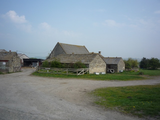
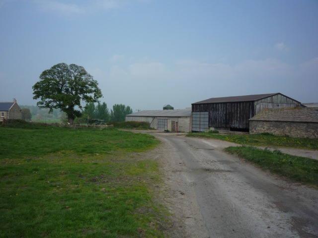
The area is well-connected with nearby towns and villages, providing easy access to amenities and services. The local communities are known for their warm hospitality and are always ready to welcome visitors with open arms.

For those seeking a peaceful retreat away from the hustle and bustle of city life, Roomer Common in Yorkshire is an ideal destination. Its stunning natural beauty, coupled with its rich history and friendly locals, make it a truly enchanting place to visit.

If you have any feedback on the listing, please let us know in the comments section below.

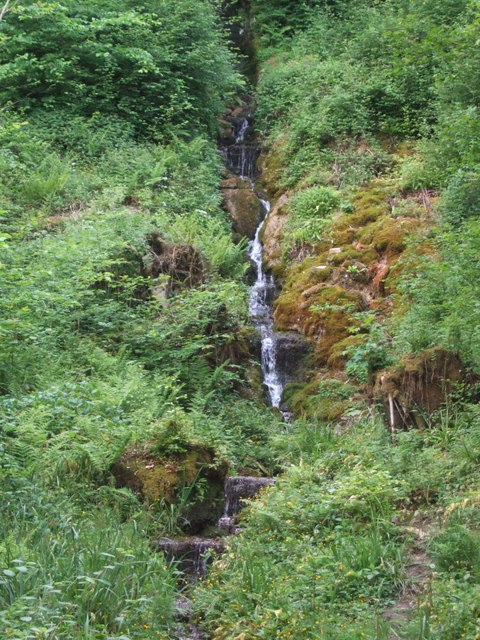
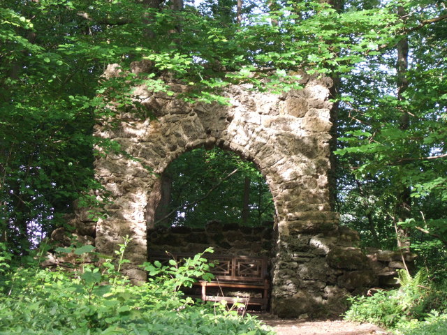
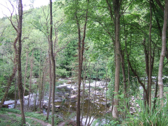
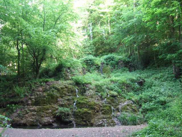
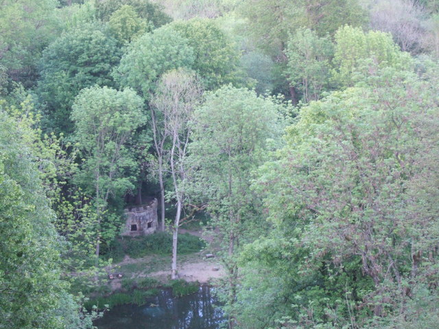
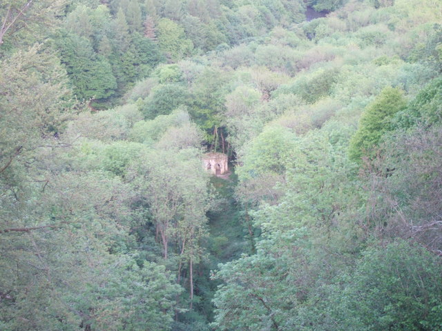
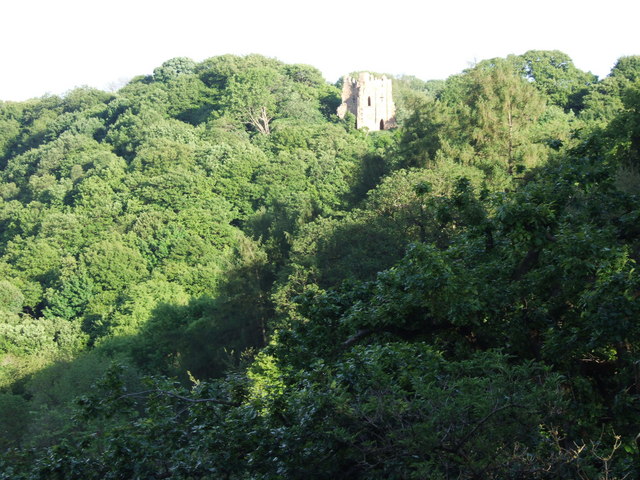
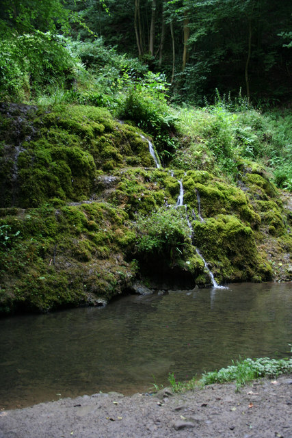
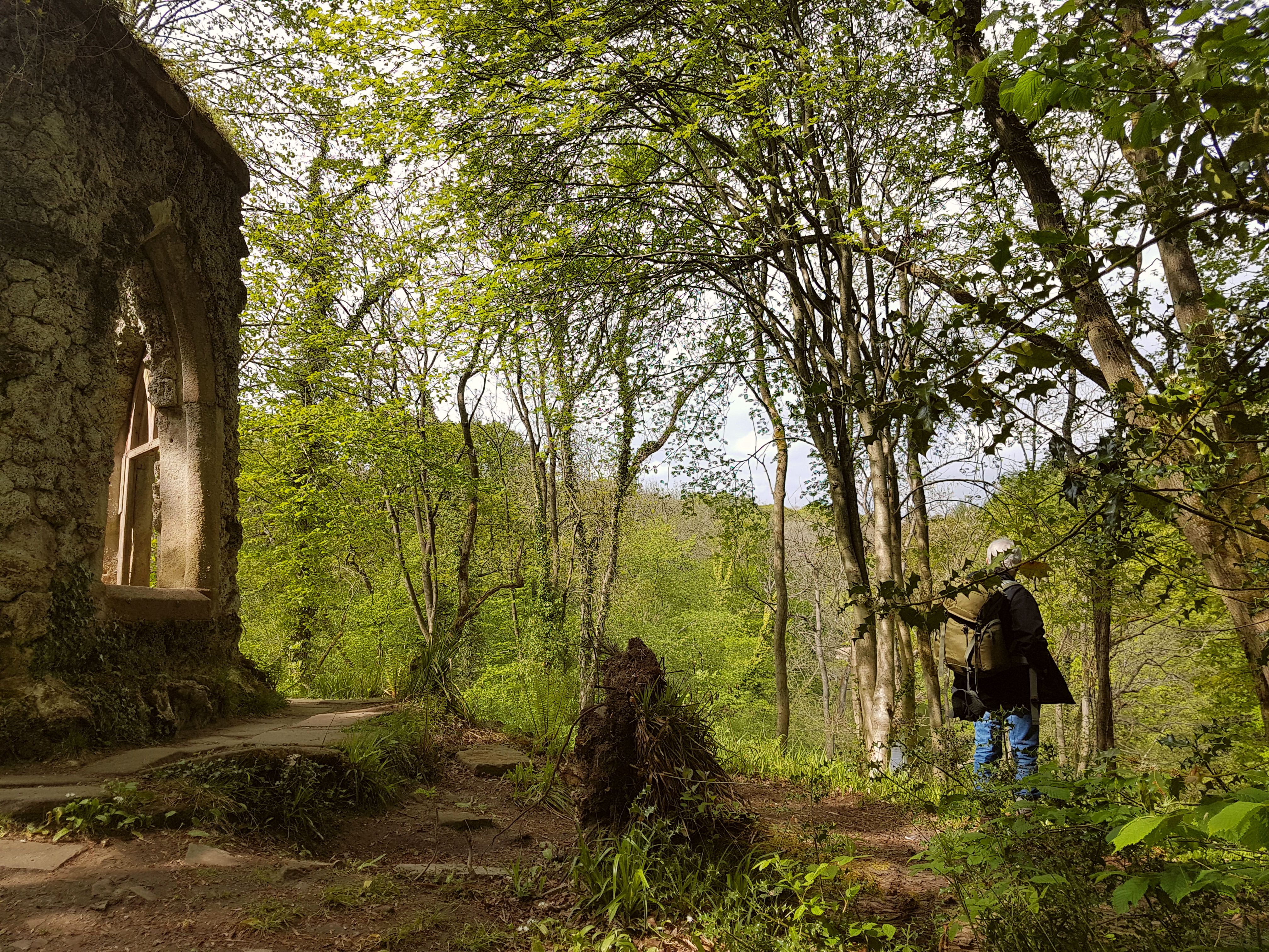
Roomer Common Images

Images are sourced within 2km of 54.203315/-1.6529858 or Grid Reference SE2278. Thanks to Geograph Open Source API. All images are credited.

Above the Ure Taken next to the car park north of Grewelthorpe. Paths lead down to the River Ure from here.
Above the Ure
Taken next to the car park north of Grewelthorpe. Paths lead down to the River Ure from here.
Road to Roomer The road to Masham and the road to Roomer & Swinton diverege here.
Road to Roomer
The road to Masham and the road to Roomer & Swinton diverege here.
Farm at Roomer On the road between Grewelthorpe and Swinton.
Farm at Roomer
On the road between Grewelthorpe and Swinton.
Roomer A farm stands between Grewelthorpe and Swinton.
Roomer
A farm stands between Grewelthorpe and Swinton.
Lambs off Roomer Lane A ewe and three lambs between Grewelthorpe and Swinton.
Lambs off Roomer Lane
A ewe and three lambs between Grewelthorpe and Swinton.
Roomer Lane Looking along Roomer Lane, between Grewelthorpe and Swinton.
Roomer Lane
Looking along Roomer Lane, between Grewelthorpe and Swinton.
Swinton Park Now converted to a hotel.
Swinton Park
Now converted to a hotel.
Hackfall Woods - the fountain at the fountain pond in full flow The Woodland Trust's 'Hackfall Walks' leaflet describes the fountain as follows - 'The fountain at the pond was originally created in 1756 as part of William Aislabie's master plan for Hackfall...... The fountain has now been restored using modern pipework and a gravity feed system filled from a natural spring on the hillside above. Once a certain water level is achieved in the system, a tumbler opens a valve and water flows to the fountain'. The Ruin folly can be seen on the skyline.
Hackfall Woods - the fountain at the fountain pond in full flow
The Woodland Trust's 'Hackfall Walks' leaflet describes the fountain as follows - 'The fountain at the pond was originally created in 1756 as part of William Aislabie's master plan for Hackfall...... The fountain has now been restored using modern pipework and a gravity feed system filled from a natural spring on the hillside above. Once a certain water level is achieved in the system, a tumbler opens a valve and water flows to the fountain'. The Ruin folly can be seen on the skyline.
Hackfall Woods - the River Ure from Fisher's Hall
Hackfall Woods - Forty Foot Fall
Hackfall Woods - The Grotto
The River Ure from Hackfall Wood This was taken from just by Fisher's Hall.
The River Ure from Hackfall Wood
This was taken from just by Fisher's Hall.
Hackfall Woods - view north from Kent's Seat
Hackfall Woods - The Fountain Pond and the Rustic Temple Taken from by the Ruin folly.
Hackfall Woods - The Fountain Pond and the Rustic Temple
Taken from by the Ruin folly.
Hackfall Woods - looking down on Fisher's Hall Taken from near the Ruin folly.
Hackfall Woods - looking down on Fisher's Hall
Taken from near the Ruin folly.
Hackfall Woods - Mowbray Castle from near the Ruin
Hackfall Woods - bluebells, May 2011
Alum spring water Alum spring water flowing into tributary of River Ure
Alum spring water
Alum spring water flowing into tributary of River Ure
Show me another place!

Roomer Common is located at Grid Ref: SE2278 (Lat: 54.203315, Lng: -1.6529858)

Division: North Riding

Administrative County: North Yorkshire

District: Harrogate

Police Authority: North Yorkshire

What 3 Words

///unable.widen.imprinted. Near Masham, North Yorkshire

Nearby Locations

Roomer Common

Related Wikis

Swinton, Harrogate

Swinton is a small village in the Harrogate district of North Yorkshire, England. It is situated to the immediate south-west of Masham and separated from...

Swinton with Warthermarske

Swinton with Warthermarske is a civil parish in Harrogate district, North Yorkshire, England. The parish includes the village of Swinton and the hamlets...
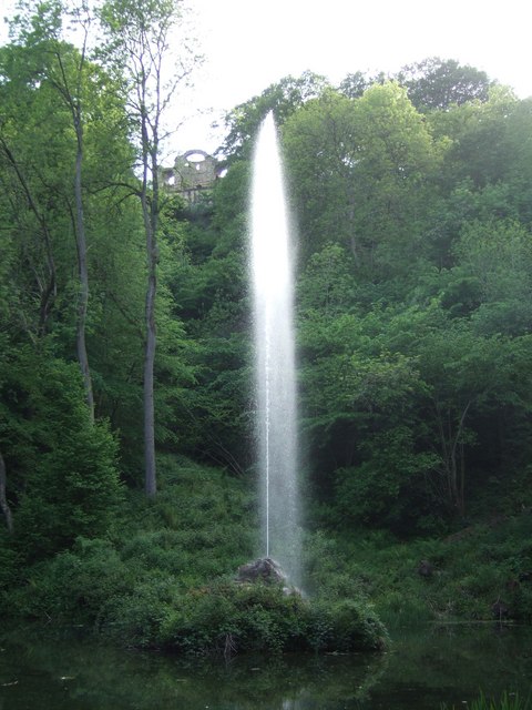
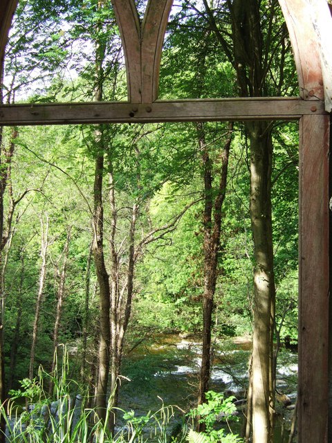
Hack Fall Wood

Hack Fall Wood, otherwise known as Hackfall, is a Site of Special Scientific Interest, or SSSI, of 44.8687 hectares (0.4487 km2; 0.1732 sq mi), lying north...
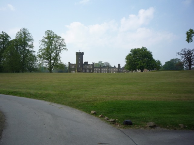
Swinton Estate

The Swinton Estate is a large privately owned estate in North Yorkshire, England. It comprises some 20,000 acres (8,100 ha) of countryside in the Nidderdale...

Nearby Amenities

Located within 500m of 54.203315,-1.6529858
Place: farm
Lat/Long: 54.2050271/-1.6591759
Historic: ruins
Note: Not sure exactly what this is
Source: View from east
Lat/Long: 54.2040272/-1.6470241
Inscription: Nidderdale AONB
Natural: stone
Lat/Long: 54.2061866/-1.6509866
Power: pole
Lat/Long: 54.2060486/-1.6473881
The data included in this document is from www.openstreetmap.org. The data is made available under ODbL.

Have you been to Roomer Common?

Leave your review of Roomer Common below (or comments, questions and feedback).