Broomhead Moor

Downs, Moorland in Yorkshire

England

Broomhead Moor

Trig Point at Emlin near Low Bradfield The easiest way to reach this summit is from the south via the Grouse Butts and Emlin Ridge. A good grassy track runs almost the whole way.
Trig Point at Emlin near Low Bradfield Credit: Colin Park

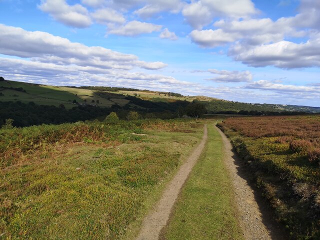
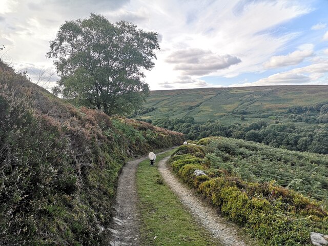
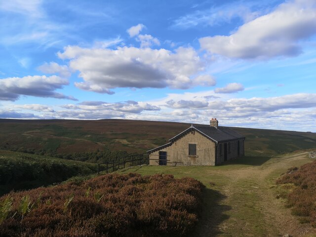
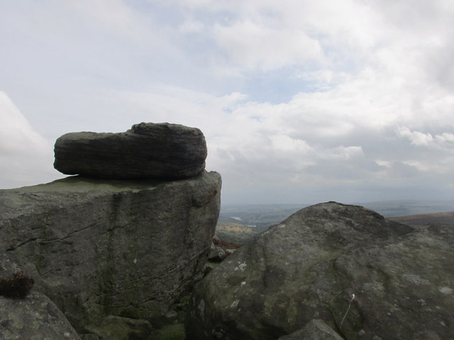
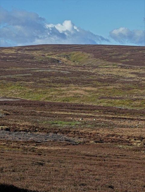
Broomhead Moor, located in Yorkshire, England, is a picturesque expanse of downs and moorland that offers visitors a stunning natural landscape and a glimpse into the region's rich history. Covering an area of approximately 1,500 acres, Broomhead Moor is nestled within the Peak District National Park, renowned for its scenic beauty and diverse wildlife.

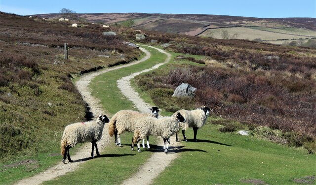
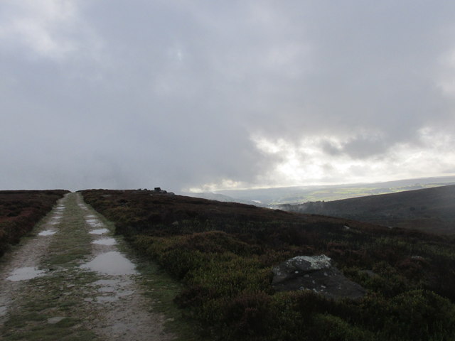
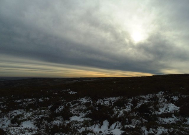
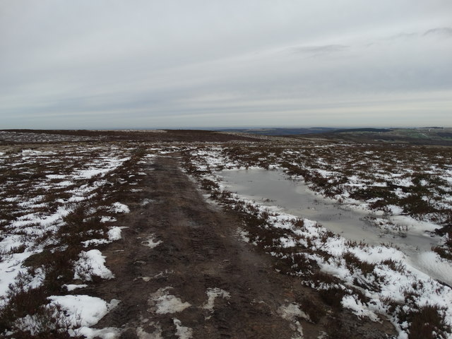
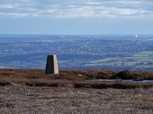
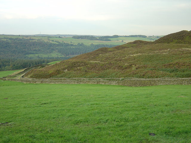
The moorland is characterized by its rolling hills, heather-covered slopes, and scattered patches of woodland, creating a captivating tapestry of colors throughout the seasons. The varied terrain provides an ideal habitat for a wide range of flora and fauna, including many species of birds, mammals, and insects.

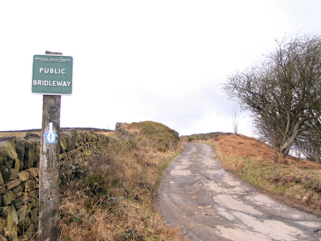
Walking enthusiasts and nature lovers are drawn to Broomhead Moor for its numerous trails and footpaths, which offer breathtaking views of the surrounding countryside. The area is also popular among birdwatchers, who come to observe species such as curlews, grouse, and kestrels, which are known to inhabit the moorland.

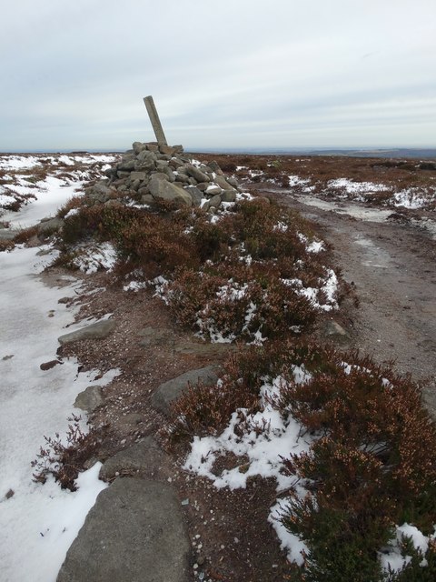
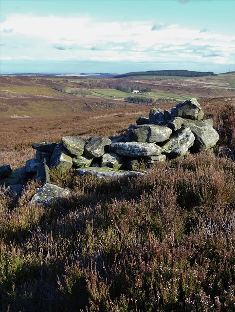
Aside from its natural beauty, Broomhead Moor holds historical significance. The area was once home to ancient settlements, as evidenced by the presence of burial mounds and stone circles, adding an air of mystery and intrigue to the landscape. Visitors can explore these historical landmarks and gain insight into the lives of the people who once called this place home.

Overall, Broomhead Moor is a captivating destination that combines stunning natural scenery with a rich cultural heritage. Whether it's for a leisurely walk, birdwatching, or historical exploration, this Yorkshire gem offers a unique and immersive experience for anyone seeking to connect with nature and history.

If you have any feedback on the listing, please let us know in the comments section below.

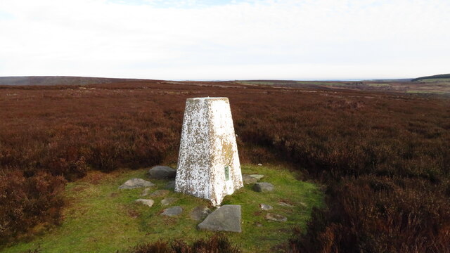
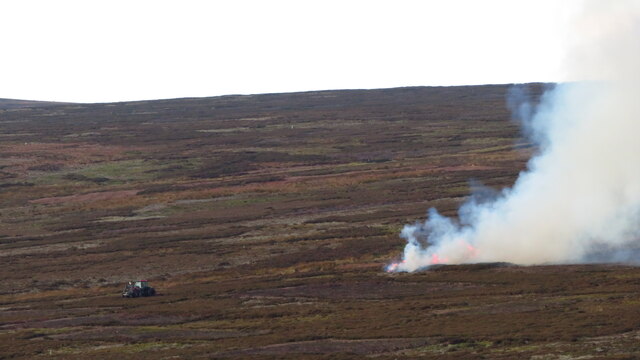
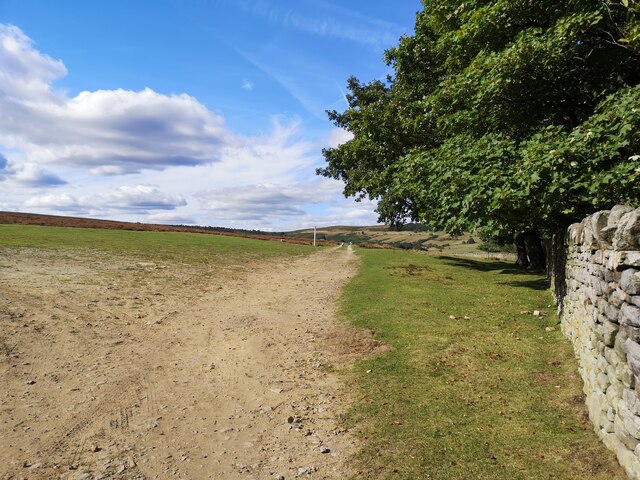
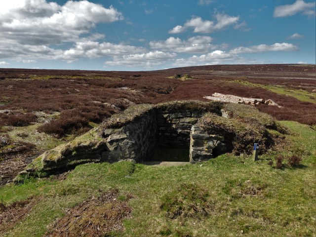
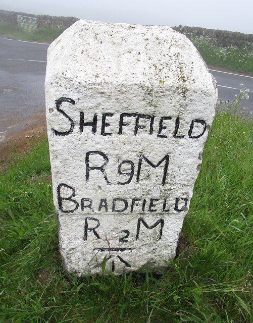
Broomhead Moor Images

Images are sourced within 2km of 53.450606/-1.658273 or Grid Reference SK2294. Thanks to Geograph Open Source API. All images are credited.

Trig Point at Emlin near Low Bradfield The easiest way to reach this summit is from the south via the Grouse Butts and Emlin Ridge. A good grassy track runs almost the whole way.
Trig Point at Emlin near Low Bradfield
The easiest way to reach this summit is from the south via the Grouse Butts and Emlin Ridge. A good grassy track runs almost the whole way.
Heather burning on moors W of Emlin near Low Bradfield
Sheep on the path!
Sheep on the path!
Path leading to Broomhead Moor
Track on Broomhead Moor This track leads up to the shooting lodge on the grouse moor.
Track on Broomhead Moor
This track leads up to the shooting lodge on the grouse moor.
Track to Shooting Lodge On Broomhead Moor. Ewden Beck is in the valley.
Track to Shooting Lodge
On Broomhead Moor. Ewden Beck is in the valley.
Shooting Lodge on Broomhead Moor
Cut Mark Broomhead Moor Milestone
Hurkling stones. Close to the Dukes road path.
Hurkling stones.
Close to the Dukes road path.
The Dukes road. A moorland track.
The Dukes road.
A moorland track.
November sky over Flint Hill, Broomhead Moor
Dukes Road on Flint Hill Here the track bends eastwards towards Mortimer Road.
Dukes Road on Flint Hill
Here the track bends eastwards towards Mortimer Road.
Cairn by Dukes Road, east of Brusten Croft Ridge
Grouse butt near Brown Edge
Milestone - Sheffield 9 There is an OS cut mark on the SW face. It marks a point 351.117m above mean sea level.
Milestone - Sheffield 9
There is an OS cut mark on the SW face. It marks a point 351.117m above mean sea level.
Old grouse butt on Wet Slack Ridge Looking in a north easterly direction towards Agden Lodge
Old grouse butt on Wet Slack Ridge
Looking in a north easterly direction towards Agden Lodge
View west from Wet Slack Ridge To Wet Slack and Hobson Moss
View west from Wet Slack Ridge
To Wet Slack and Hobson Moss
Triangulation pillar on Emlin Ridge (I)
Show me another place!

Broomhead Moor is located at Grid Ref: SK2294 (Lat: 53.450606, Lng: -1.658273)

Division: West Riding

Unitary Authority: Sheffield

Police Authority: South Yorkshire

What 3 Words

///sushi.exams.flick. Near Bradfield, South Yorkshire

Nearby Locations

Broomhead Moor

Related Wikis

Wigtwizzle

Wigtwizzle is a hamlet in the civil parish of Bradfield, in South Yorkshire, England. The hamlet is 6 miles (9.7 km) south of Penistone, and 12 miles...

Broomhead Hall

Broomhead Hall was a large English country house that stood in the Ewden valley, to the west of Sheffield, England. The hall stood near the hamlet of Wigtwizzle...

Canyards Hills

Canyards Hills (grid reference SK250950) is a 64.1 hectare (158.4 acre) biological and geological site of Special Scientific Interest in South Yorkshire...

Hallfield House

Hallfield House is a Grade II listed building situated in Bradfield Dale, 1.7 miles (2.74 km) west of the village of Low Bradfield, near Sheffield in England...

Nearby Amenities

Located within 500m of 53.450606,-1.658273
Broomhead Moor
Place: locality
Lat/Long: 53.4522216/-1.6600746
Hunting Stand
Hunting Stand: grouse_butt
Lat/Long: 53.4532463/-1.6643544
Hunting Stand
Hunting Stand: grouse_butt
Lat/Long: 53.4522485/-1.6638241
Hunting Stand
Hunting Stand: grouse_butt
Lat/Long: 53.451759/-1.6637223
Hunting Stand
Hunting Stand: grouse_butt
Lat/Long: 53.4532757/-1.664065
Hunting Stand
Hunting Stand: grouse_butt
Lat/Long: 53.4527455/-1.6641599
Hunting Stand
Hunting Stand: grouse_butt
Lat/Long: 53.4517263/-1.6639203
Hunting Stand
Hunting Stand: grouse_butt
Lat/Long: 53.4527628/-1.6639384
Hunting Stand
Hunting Stand: grouse_butt
Lat/Long: 53.4522307/-1.6640472
Ford: yes
Lat/Long: 53.4499102/-1.6586607
The data included in this document is from www.openstreetmap.org. The data is made available under ODbL.

Have you been to Broomhead Moor?

Leave your review of Broomhead Moor below (or comments, questions and feedback).