Moor Fields

Downs, Moorland in Yorkshire

England

Moor Fields

Oakwell Hall Country Park Parts of Oakwell Hall date from the 15th century but the present building is largely due to John Batt in 1583, with some further modifications in the 17th century. In the 19th century it was used as a boarding school. When Charlotte Bronte lived at nearby Hartshead, she allegedly used Oakwell as the basis for 'Fieldhead' in the novel 'Shirley' (Fieldhead is in fact a local name for part of Birstall). The hall and its outbuildings are listed grade I (list entry 11344609) and now operated as a museum by Kirklees council (open at weekends). 

The grounds, along with the site of a former colliery and railway line, form Oakwell Country Park covering 45 hectares of woodland and open fields, which has a separate free car park. There are nature trails and a mountain bike route.
Oakwell Hall Country Park Credit: habiloid

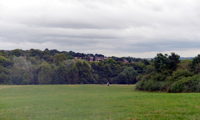
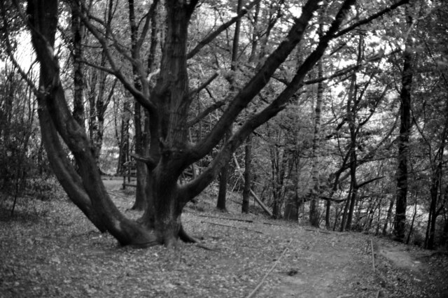
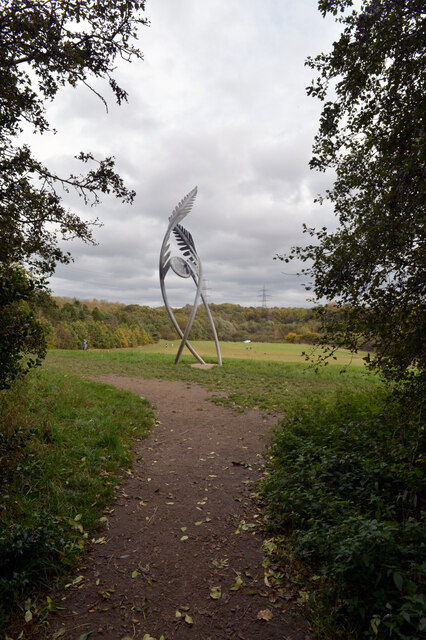
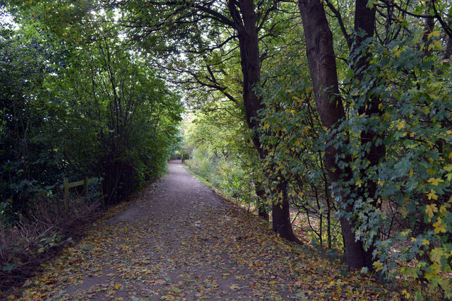
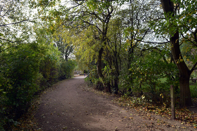
Moor Fields, located in Yorkshire, is a vast expanse of moorland that stretches across the picturesque Yorkshire Downs. This breathtaking landscape is characterized by its rolling hills, heather-covered moors, and stunning panoramic views. The area is renowned for its natural beauty, attracting visitors from far and wide.

The moorland of Moor Fields is abundant with diverse flora and fauna. The heather, which blooms in vibrant shades of purple, covers the vast stretches of the moors, creating a picturesque sight. The area is also home to a variety of wildlife, including birds such as curlews, lapwings, and red grouses. Visitors may also encounter mammals like hares, foxes, and even deer as they explore the moorland.

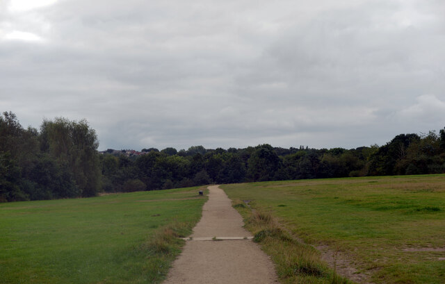
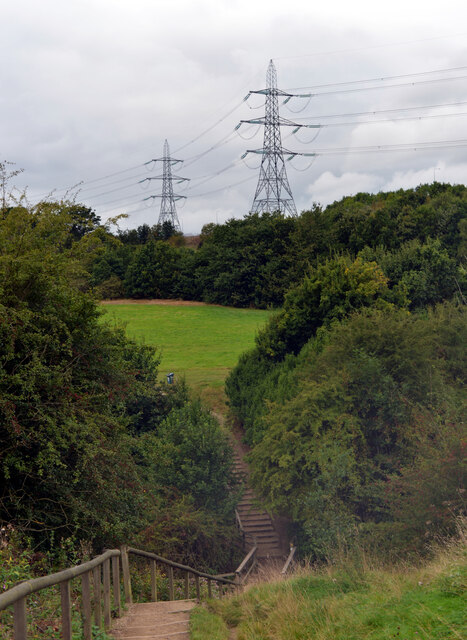
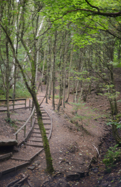
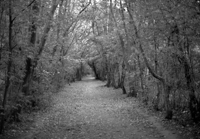
One of the most captivating aspects of Moor Fields is its tranquil atmosphere. The vast open spaces, coupled with the absence of human habitation, create a sense of serenity and peace. Walking along the moorland trails, visitors can immerse themselves in the natural beauty and solitude of the landscape.

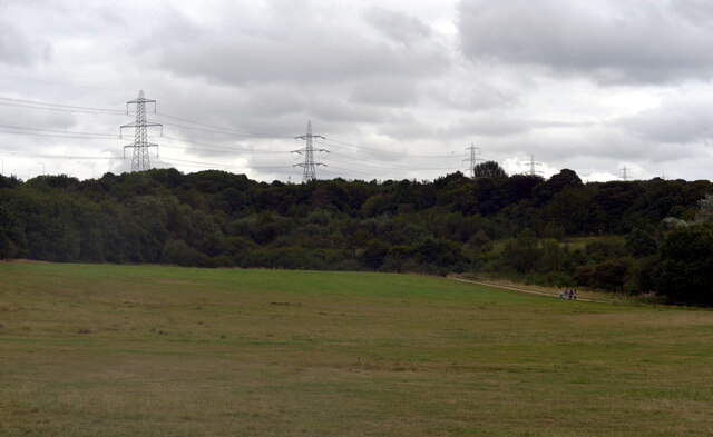
Moor Fields offers a range of activities for outdoor enthusiasts. Hiking and walking trails crisscross the moorland, providing opportunities to explore the area's hidden gems. The more adventurous can engage in mountain biking or horse riding, while birdwatchers can indulge in their passion with the abundance of avian species in the area.

Overall, Moor Fields in Yorkshire is a haven for nature lovers, offering a breathtaking and serene moorland experience. Whether one seeks tranquility, wildlife spotting, or outdoor activities, this remarkable landscape has something to offer for everyone.

If you have any feedback on the listing, please let us know in the comments section below.

Moor Fields Images

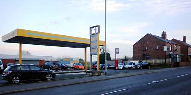
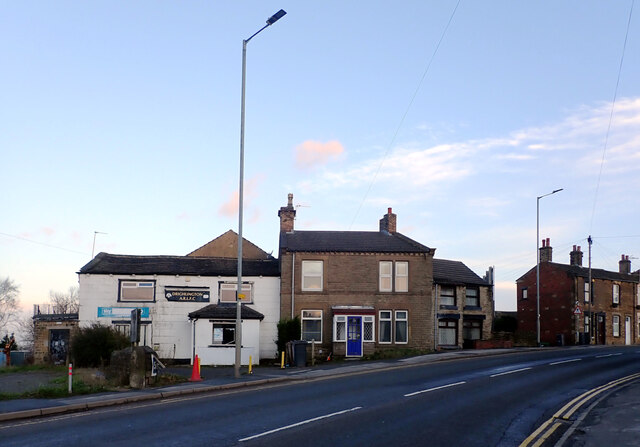
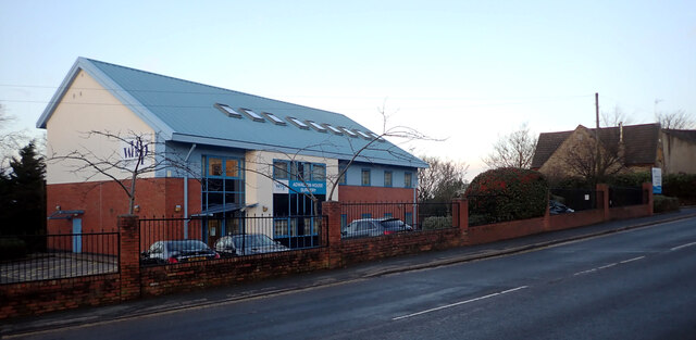
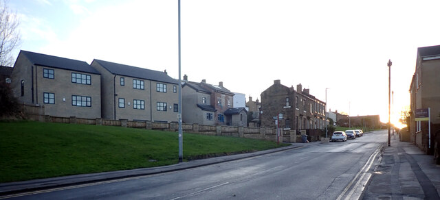
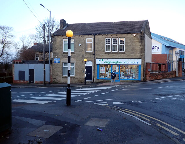
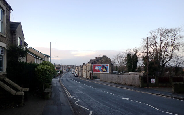
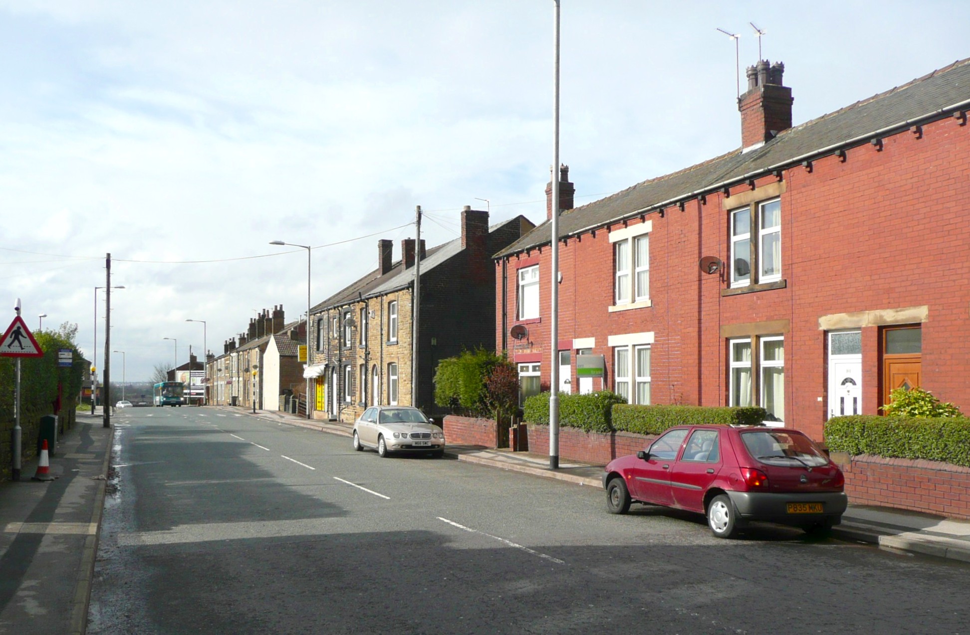
Images are sourced within 2km of 53.745266/-1.6568894 or Grid Reference SE2227. Thanks to Geograph Open Source API. All images are credited.

Oakwell Hall Country Park Parts of Oakwell Hall date from the 15th century but the present building is largely due to John Batt in 1583, with some further modifications in the 17th century. In the 19th century it was used as a boarding school. When Charlotte Bronte lived at nearby Hartshead, she allegedly used Oakwell as the basis for 'Fieldhead' in the novel 'Shirley' (Fieldhead is in fact a local name for part of Birstall). The hall and its outbuildings are listed grade I (list entry 11344609) and now operated as a museum by Kirklees council (open at weekends). 

The grounds, along with the site of a former colliery and railway line, form Oakwell Country Park covering 45 hectares of woodland and open fields, which has a separate free car park. There are nature trails and a mountain bike route.
Oakwell Hall Country Park
Parts of Oakwell Hall date from the 15th century but the present building is largely due to John Batt in 1583, with some further modifications in the 17th century. In the 19th century it was used as a boarding school. When Charlotte Bronte lived at nearby Hartshead, she allegedly used Oakwell as the basis for 'Fieldhead' in the novel 'Shirley' (Fieldhead is in fact a local name for part of Birstall). The hall and its outbuildings are listed grade I (list entry 11344609) and now operated as a museum by Kirklees council (open at weekends). The grounds, along with the site of a former colliery and railway line, form Oakwell Country Park covering 45 hectares of woodland and open fields, which has a separate free car park. There are nature trails and a mountain bike route.
Path, Oakwell Hall Country Park Parts of Oakwell Hall date from the 15th century but the present building is largely due to John Batt in 1583, with some further modifications in the 17th century. In the 19th century it was used as a boarding school. When Charlotte Bronte lived at nearby Hartshead, she allegedly used Oakwell as the basis for 'Fieldhead' in the novel 'Shirley' (Fieldhead is in fact a local name for part of Birstall). The hall and its outbuildings are listed grade I (list entry 11344609) and now operated as a museum by Kirklees council (open at weekends). 

The grounds, along with the site of a former colliery and railway line, form Oakwell Country Park covering 45 hectares of woodland and open fields, which has a separate free car park. There are nature trails and a mountain bike route.
Path, Oakwell Hall Country Park
Parts of Oakwell Hall date from the 15th century but the present building is largely due to John Batt in 1583, with some further modifications in the 17th century. In the 19th century it was used as a boarding school. When Charlotte Bronte lived at nearby Hartshead, she allegedly used Oakwell as the basis for 'Fieldhead' in the novel 'Shirley' (Fieldhead is in fact a local name for part of Birstall). The hall and its outbuildings are listed grade I (list entry 11344609) and now operated as a museum by Kirklees council (open at weekends). The grounds, along with the site of a former colliery and railway line, form Oakwell Country Park covering 45 hectares of woodland and open fields, which has a separate free car park. There are nature trails and a mountain bike route.
Path and pylons, Oakwell Hall Country Park Parts of Oakwell Hall date from the 15th century but the present building is largely due to John Batt in 1583, with some further modifications in the 17th century. In the 19th century it was used as a boarding school. When Charlotte Bronte lived at nearby Hartshead, she allegedly used Oakwell as the basis for 'Fieldhead' in the novel 'Shirley' (Fieldhead is in fact a local name for part of Birstall). The hall and its outbuildings are listed grade I (list entry 11344609) and now operated as a museum by Kirklees council (open at weekends). 

The grounds, along with the site of a former colliery and railway line, form Oakwell Country Park covering 45 hectares of woodland and open fields, which has a separate free car park. There are nature trails and a mountain bike route.
Path and pylons, Oakwell Hall Country Park
Parts of Oakwell Hall date from the 15th century but the present building is largely due to John Batt in 1583, with some further modifications in the 17th century. In the 19th century it was used as a boarding school. When Charlotte Bronte lived at nearby Hartshead, she allegedly used Oakwell as the basis for 'Fieldhead' in the novel 'Shirley' (Fieldhead is in fact a local name for part of Birstall). The hall and its outbuildings are listed grade I (list entry 11344609) and now operated as a museum by Kirklees council (open at weekends). The grounds, along with the site of a former colliery and railway line, form Oakwell Country Park covering 45 hectares of woodland and open fields, which has a separate free car park. There are nature trails and a mountain bike route.
Oakwell Hall Country Park Parts of Oakwell Hall date from the 15th century but the present building is largely due to John Batt in 1583, with some further modifications in the 17th century. In the 19th century it was used as a boarding school. When Charlotte Bronte lived at nearby Hartshead, she allegedly used Oakwell as the basis for 'Fieldhead' in the novel 'Shirley' (Fieldhead is in fact a local name for part of Birstall). The hall and its outbuildings are listed grade I (list entry 11344609) and now operated as a museum by Kirklees council (open at weekends). 

The grounds, along with the site of a former colliery and railway line, form Oakwell Country Park covering 45 hectares of woodland and open fields, which has a separate free car park. There are nature trails and a mountain bike route.
Oakwell Hall Country Park
Parts of Oakwell Hall date from the 15th century but the present building is largely due to John Batt in 1583, with some further modifications in the 17th century. In the 19th century it was used as a boarding school. When Charlotte Bronte lived at nearby Hartshead, she allegedly used Oakwell as the basis for 'Fieldhead' in the novel 'Shirley' (Fieldhead is in fact a local name for part of Birstall). The hall and its outbuildings are listed grade I (list entry 11344609) and now operated as a museum by Kirklees council (open at weekends). The grounds, along with the site of a former colliery and railway line, form Oakwell Country Park covering 45 hectares of woodland and open fields, which has a separate free car park. There are nature trails and a mountain bike route.
Path through the woods, Oakwell Hall Country Park
Route of an old railway line passing through the woods, Oakwell Hall Country Park Parts of Oakwell Hall date from the 15th century but the present building is largely due to John Batt in 1583, with some further modifications in the 17th century. In the 19th century it was used as a boarding school. When Charlotte Bronte lived at nearby Hartshead, she allegedly used Oakwell as the basis for 'Fieldhead' in the novel 'Shirley' (Fieldhead is in fact a local name for part of Birstall). The hall and its outbuildings are listed grade I (list entry 11344609) and now operated as a museum by Kirklees council (open at weekends). 

The grounds, along with the site of a former colliery and railway line, form Oakwell Country Park covering 45 hectares of woodland and open fields, which has a separate free car park. There are nature trails and a mountain bike route.
Route of an old railway line passing through the woods, Oakwell Hall Country Park
Parts of Oakwell Hall date from the 15th century but the present building is largely due to John Batt in 1583, with some further modifications in the 17th century. In the 19th century it was used as a boarding school. When Charlotte Bronte lived at nearby Hartshead, she allegedly used Oakwell as the basis for 'Fieldhead' in the novel 'Shirley' (Fieldhead is in fact a local name for part of Birstall). The hall and its outbuildings are listed grade I (list entry 11344609) and now operated as a museum by Kirklees council (open at weekends). The grounds, along with the site of a former colliery and railway line, form Oakwell Country Park covering 45 hectares of woodland and open fields, which has a separate free car park. There are nature trails and a mountain bike route.
"Fiddlehead and Fernblades" by Adrian Moakes, Oakwell Hall Country Park "Fiddlehead and Fernblades" is a sculpture by Adrian Moakes (2008). It stands at the highest point of the colliery field of Oakwell Hall Country park, Birstall. The colliery field is the landscape site of Gomersal Pit which closed in 1973. The sculpture depicts ferns which formed the coal mined there.
It is 6.5m high and is formed from galvanized tubular and sheet steel. It was officially opened on 19th October 2008.
"Fiddlehead and Fernblades" by Adrian Moakes, Oakwell Hall Country Park
"Fiddlehead and Fernblades" is a sculpture by Adrian Moakes (2008). It stands at the highest point of the colliery field of Oakwell Hall Country park, Birstall. The colliery field is the landscape site of Gomersal Pit which closed in 1973. The sculpture depicts ferns which formed the coal mined there. It is 6.5m high and is formed from galvanized tubular and sheet steel. It was officially opened on 19th October 2008.
Route of an old railway line passing through the woods, Oakwell Hall Country Park
Warrens Lane, Oakwell Hall Country Park
Wakefield Road (B6135), Drighlington
Fairfax Avenue, Drighlington
Car Wash, Wakefield Road (B6135), Drighlington
Wakefield Road (B6135), Drighlington
Adwalton House Surgery, Wakefield Road (B6135), Drighlington
Moorside Road, Drighlington
Drighlington Pharmacy, King Street (B6135), Drighlington
King Street (B6135), Drighlington
Show me another place!

Moor Fields is located at Grid Ref: SE2227 (Lat: 53.745266, Lng: -1.6568894)

Division: West Riding

Unitary Authority: Kirklees

Police Authority: West Yorkshire

What 3 Words

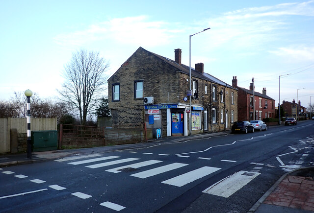
///hits.swim.mason. Near Drighlington, West Yorkshire

Nearby Locations

Moor Fields

Related Wikis

Oakwell Hospital

Oakwell Hospital was originally a fever hospital built on a hill top in Birstall in West Riding of Yorkshire, England, caring for chiefly people with scarlet...

Drighlington and Adwalton railway station

Drighlington and Adwalton railway station served the village of Drighlington, West Yorkshire, England from 1856 to 1962 on the Leeds, Bradford and Halifax...

Adwalton

Adwalton is a village in the City of Leeds metropolitan borough, West Yorkshire, England. It is 6 miles (9.7 km) south west of Leeds and is now generally...

Birstall Shopping Park

Birstall Shopping Park is a shopping park located in Birstall, Batley, West Yorkshire, England. It contains a wide variety of retailers and includes the...

Nearby Amenities

Located within 500m of 53.745266,-1.6568894
Power: tower
Lat/Long: 53.7420735/-1.6525938
Power: tower
Lat/Long: 53.7421865/-1.6555417
Power: tower
Lat/Long: 53.7423988/-1.6606057
Turning Circle
Lat/Long: 53.7488416/-1.6611033
Turning Circle
Lat/Long: 53.7485195/-1.6617363
Bus Stop
Field Head Lane Owler Lane
Local Ref: 45025374
Naptan AtcoCode: 450025374
Naptan Bearing: N
Naptan CommonName: Field Head Lane Owler Lane
Naptan Crossing: Owler Lane
Naptan Indicator: Stop 45025374
Naptan PlusbusZoneRef: LEEDS
Naptan ShortCommonName: Owler Lane
Naptan Street: Field Head Lane
Naptan Verified: yes
Ref: 45025374
Source: naptan_import
Lat/Long: 53.7429631/-1.6628431
Adwalton Junction
Railway: junction
Lat/Long: 53.7471425/-1.6616455
Bus Stop
Field Head Lane Owler Lane
Local Ref: 45025375
Naptan AtcoCode: 450025375
Naptan Bearing: S
Naptan CommonName: Field Head Lane Owler Lane
Naptan Crossing: Owler Lane
Naptan Indicator: Stop 45025375
Naptan Landmark: Holly View Farm
Naptan PlusbusZoneRef: LEEDS
Naptan ShortCommonName: Owler Lane
Naptan Street: Field Head Lane
Naptan Verified: no
Source: naptan_import
Lat/Long: 53.7433333/-1.6627399
Post Box
Operator: Royal Mail
Post Box Type: lamp
Ref: WF17 218
Lat/Long: 53.7411302/-1.6551051
Generator Method: photovoltaic
Generator Output Electricity: yes
Generator Source: solar
Generator Type: solar_photovoltaic_panel
Location: roof
Power: generator
Lat/Long: 53.7420044/-1.6611081
Generator Method: photovoltaic
Generator Output Electricity: yes
Generator Source: solar
Generator Type: solar_photovoltaic_panel
Location: roof
Power: generator
Lat/Long: 53.7420218/-1.6606495
Generator Method: photovoltaic
Generator Output Electricity: yes
Generator Source: solar
Generator Type: solar_photovoltaic_panel
Location: roof
Power: generator
Lat/Long: 53.7420218/-1.6605637
Generator Method: photovoltaic
Generator Output Electricity: yes
Generator Source: solar
Generator Type: solar_photovoltaic_panel
Location: roof
Power: generator
Lat/Long: 53.7420282/-1.6603813
Generator Method: photovoltaic
Generator Output Electricity: yes
Generator Source: solar
Generator Type: solar_photovoltaic_panel
Location: roof
Power: generator
Lat/Long: 53.7420234/-1.6602847
Generator Method: photovoltaic
Generator Output Electricity: yes
Generator Source: solar
Generator Type: solar_photovoltaic_panel
Location: roof
Power: generator
Lat/Long: 53.7413968/-1.656366
Generator Method: photovoltaic
Generator Output Electricity: yes
Generator Source: solar
Generator Type: solar_photovoltaic_panel
Location: roof
Power: generator
Lat/Long: 53.7413143/-1.6562212
Generator Method: photovoltaic
Generator Output Electricity: yes
Generator Source: solar
Generator Type: solar_photovoltaic_panel
Location: roof
Power: generator
Lat/Long: 53.7409399/-1.6563579
Barrier: yes
Lat/Long: 53.7413346/-1.6546555
The data included in this document is from www.openstreetmap.org. The data is made available under ODbL.

Have you been to Moor Fields?

Leave your review of Moor Fields below (or comments, questions and feedback).