Briery Rush Plantation
Downs, Moorland in Yorkshire Richmondshire
England
Briery Rush Plantation
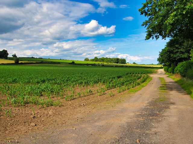
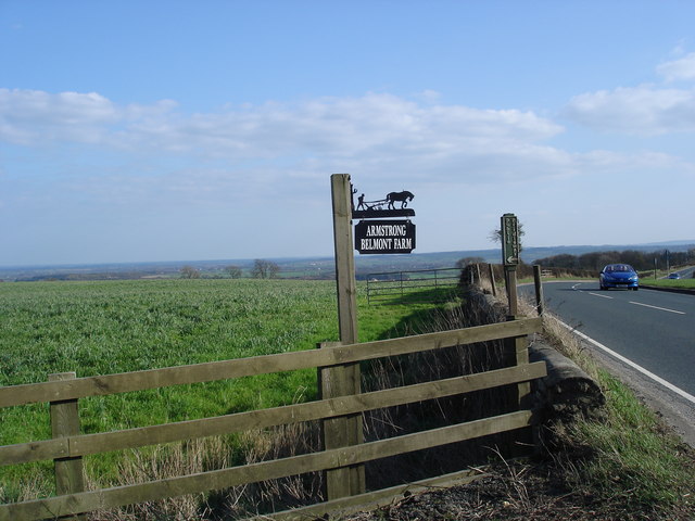
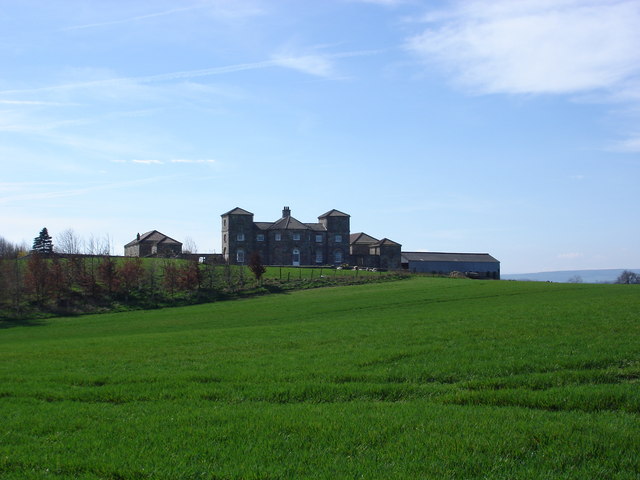
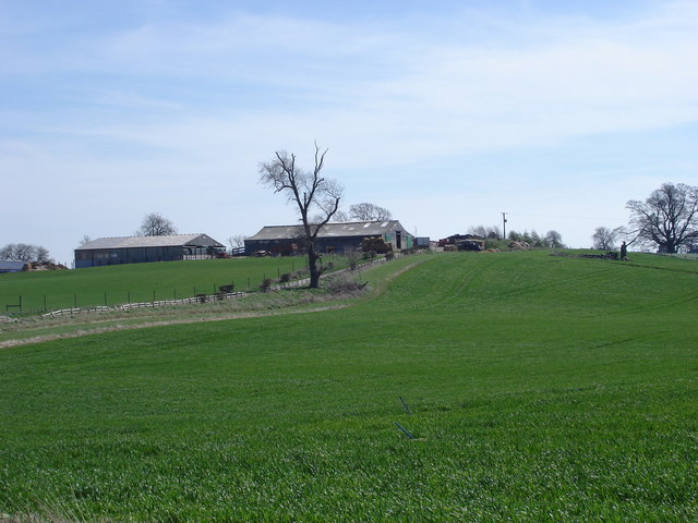
Briery Rush Plantation, located in Yorkshire, encompasses a diverse landscape of downs and moorland, providing a picturesque setting for nature enthusiasts and outdoor adventurers alike. The plantation spans over a vast area, covering several acres of land.
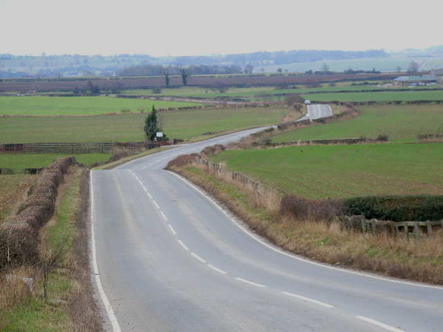
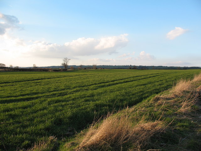
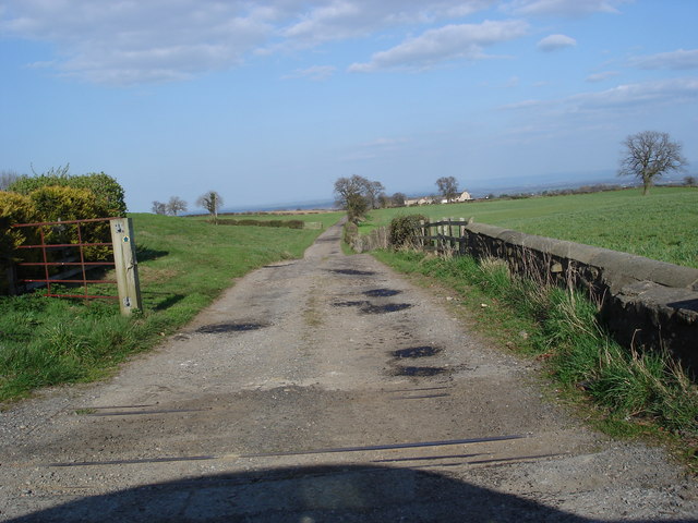
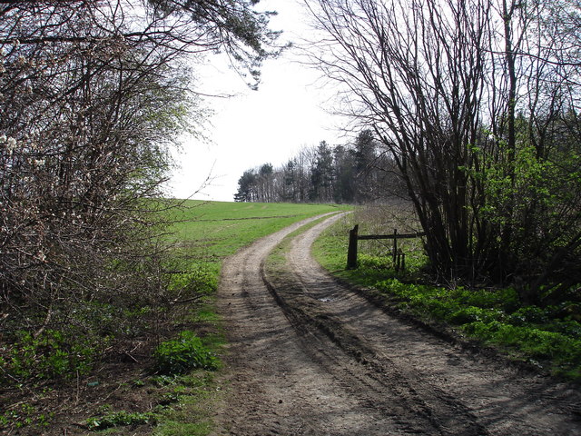
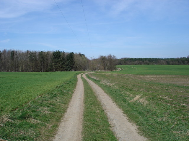
The downs in Briery Rush Plantation are characterized by rolling hills, offering stunning panoramic views of the surrounding countryside. These grassy uplands are rich in flora and fauna, making them a haven for wildlife. Visitors can spot an array of bird species, such as skylarks, lapwings, and curlews, soaring through the clear blue skies. The downs also feature patches of wildflowers, including the vibrant yellow of buttercups and the delicate purple of heather, creating a vibrant and colorful landscape.
The moorland in Briery Rush Plantation offers a unique and rugged terrain, with vast expanses of open countryside. This area is known for its peat bogs and heather-covered hills, creating a stunning contrast against the clear blue skies. Moorland species, such as red grouse and short-eared owls, can often be spotted in this habitat, adding to the area's biodiversity.
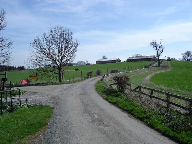
Nature lovers can explore the plantation through a network of well-maintained walking trails, allowing them to immerse themselves in the beauty of the surrounding environment. From peaceful strolls through the downs to challenging hikes across the moorland, Briery Rush Plantation offers something for everyone.
Overall, Briery Rush Plantation in Yorkshire is a captivating destination for those seeking to connect with nature and enjoy the tranquility of the downs and moorland landscapes.
If you have any feedback on the listing, please let us know in the comments section below.
Briery Rush Plantation Images
Images are sourced within 2km of 54.336407/-1.6654316 or Grid Reference SE2193. Thanks to Geograph Open Source API. All images are credited.
Briery Rush Plantation is located at Grid Ref: SE2193 (Lat: 54.336407, Lng: -1.6654316)
Division: North Riding
Administrative County: North Yorkshire
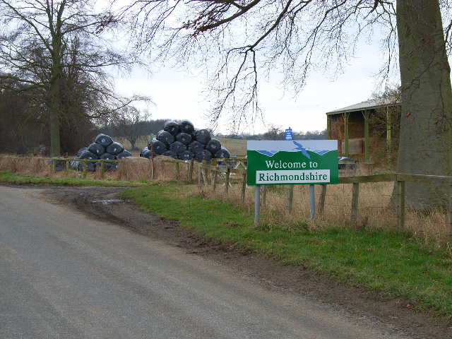
District: Richmondshire
Police Authority: North Yorkshire
What 3 Words
///rests.reported.nooks. Near Catterick, North Yorkshire
Nearby Locations
Related Wikis

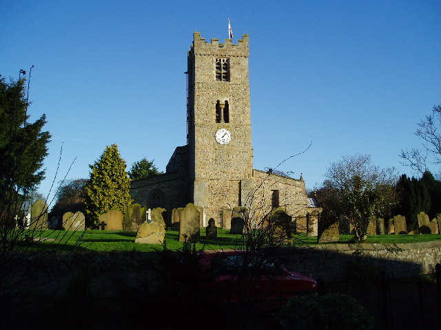
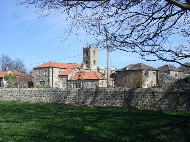
Church of St Mary the Virgin, Hornby
St Mary's Church Hornby, is the parish church for the village of Hornby, Richmondshire in North Yorkshire, England. The church is one of six in the Benefice...

Hornby, Richmondshire
Hornby is a small village and civil parish located about 4 miles (6.4 km) north-west of Bedale. It is part of the non-metropolitan district of Richmondshire...

Hornby Castle, North Yorkshire
Hornby Castle is a grade I listed fortified manor house on the edge of Wensleydale between Bedale and Leyburn, in the county of North Yorkshire, England...

Arrathorne
Arrathorne is a hamlet and civil parish in the former Richmondshire district of North Yorkshire, England. The settlement is 6 miles (9 km) south of Richmond...

Appleton East and West
Appleton East and West is a civil parish in the Richmondshire district of North Yorkshire, England. It contains the villages East Appleton and West Appleton...

Hackforth
Hackforth is a small village and civil parish in the Hambleton district of North Yorkshire, England, about 4 miles (6 km) north of Bedale. Nearby settlements...
Tunstall, North Yorkshire
Tunstall is a village and civil parish in the Richmondshire district of North Yorkshire, England about 2 miles (3.2 km) west of Catterick Village and the...

Patrick Brompton
Patrick Brompton is a village and civil parish in North Yorkshire, England. Patrick Brompton is situated about 4 miles (6.4 km) west of Bedale. It lies...
Nearby Amenities
Located within 500m of 54.336407,-1.6654316Have you been to Briery Rush Plantation?
Leave your review of Briery Rush Plantation below (or comments, questions and feedback).